Wessington Springs is a city in central Jerauld County, South Dakota, United States. The population was 956 at the 2010 census. It is the county seat of Jerauld County.
| Name: | Wessington Springs city |
|---|---|
| LSAD Code: | 25 |
| LSAD Description: | city (suffix) |
| State: | South Dakota |
| County: | Jerauld County |
| Incorporated: | 1893 |
| Elevation: | 1,670 ft (509 m) |
| Total Area: | 1.80 sq mi (4.67 km²) |
| Land Area: | 1.80 sq mi (4.67 km²) |
| Water Area: | 0.00 sq mi (0.00 km²) |
| Total Population: | 771 |
| Population Density: | 428.10/sq mi (165.25/km²) |
| ZIP code: | 57382 |
| Area code: | 605 |
| FIPS code: | 4670220 |
| GNISfeature ID: | 1258872 |
| Website: | wessingtonsprings.com |
Online Interactive Map
Click on ![]() to view map in "full screen" mode.
to view map in "full screen" mode.
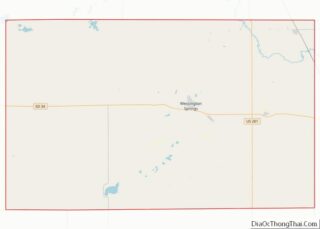
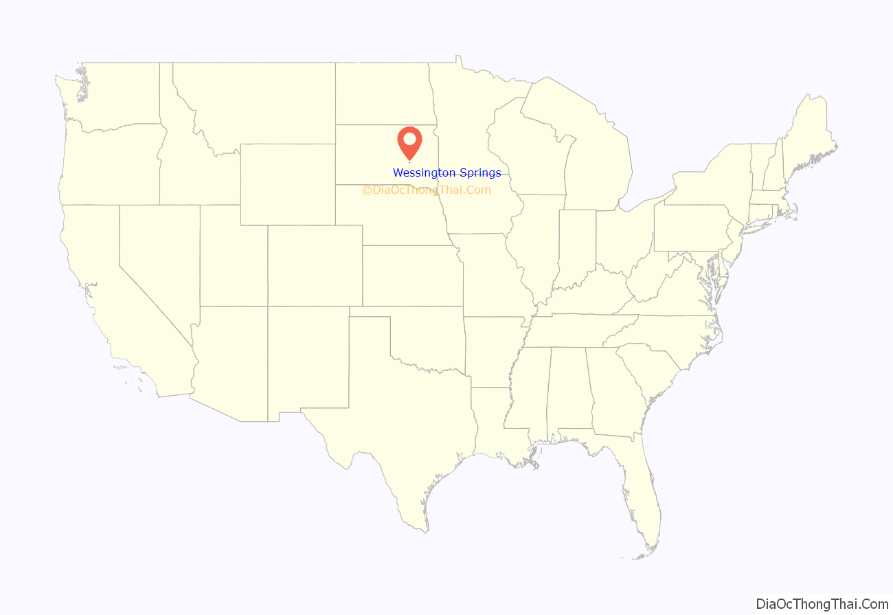
Wessington Springs location map. Where is Wessington Springs city?

History
The Wessington Springs townsite was founded in 1880 and platted in 1882, early in the era of agricultural settlement in the region. The town’s boom era began in 1903, when a branch line of the Milwaukee Road railroad was constructed into the town from the east.
The town was the home of Wessington Springs College, an institution of higher learning that existed from 1887 until 1968. There is a baseball field in town that hosts an amateur baseball team named the Wessington Springs Owls.
2014 tornado
On June 18, 2014 the town of Wessington Springs was hit by a tornado. At approximately 7:45 PM the tornado tore through the heart of Wessington Springs and 50+ homes were destroyed, and 77 people were left homeless. Many other buildings and properties were damaged significantly. No fatalities were reported but several injuries were sustained. The town’s emergency sirens gave residents significant advance notice to the threat, allowing residents to flee to the town’s fallout shelter avoiding injury and death. The town was on lockdown for several hours to prevent further injuries and blockages.
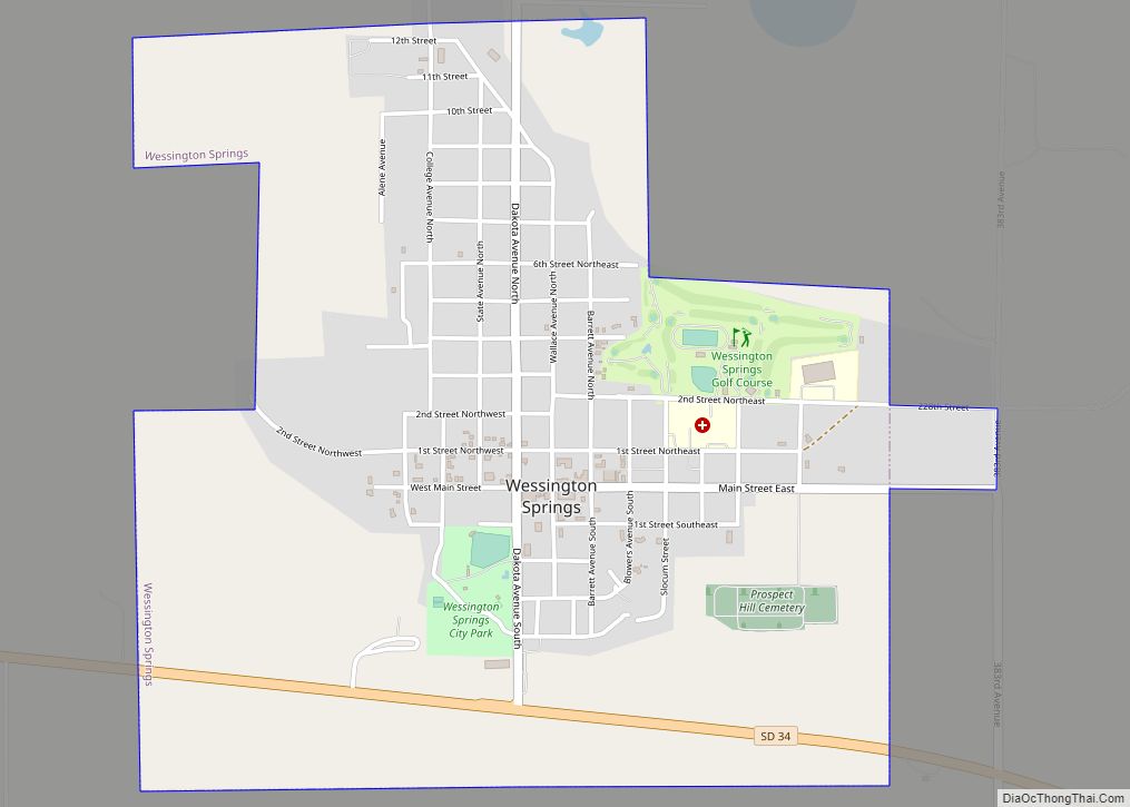
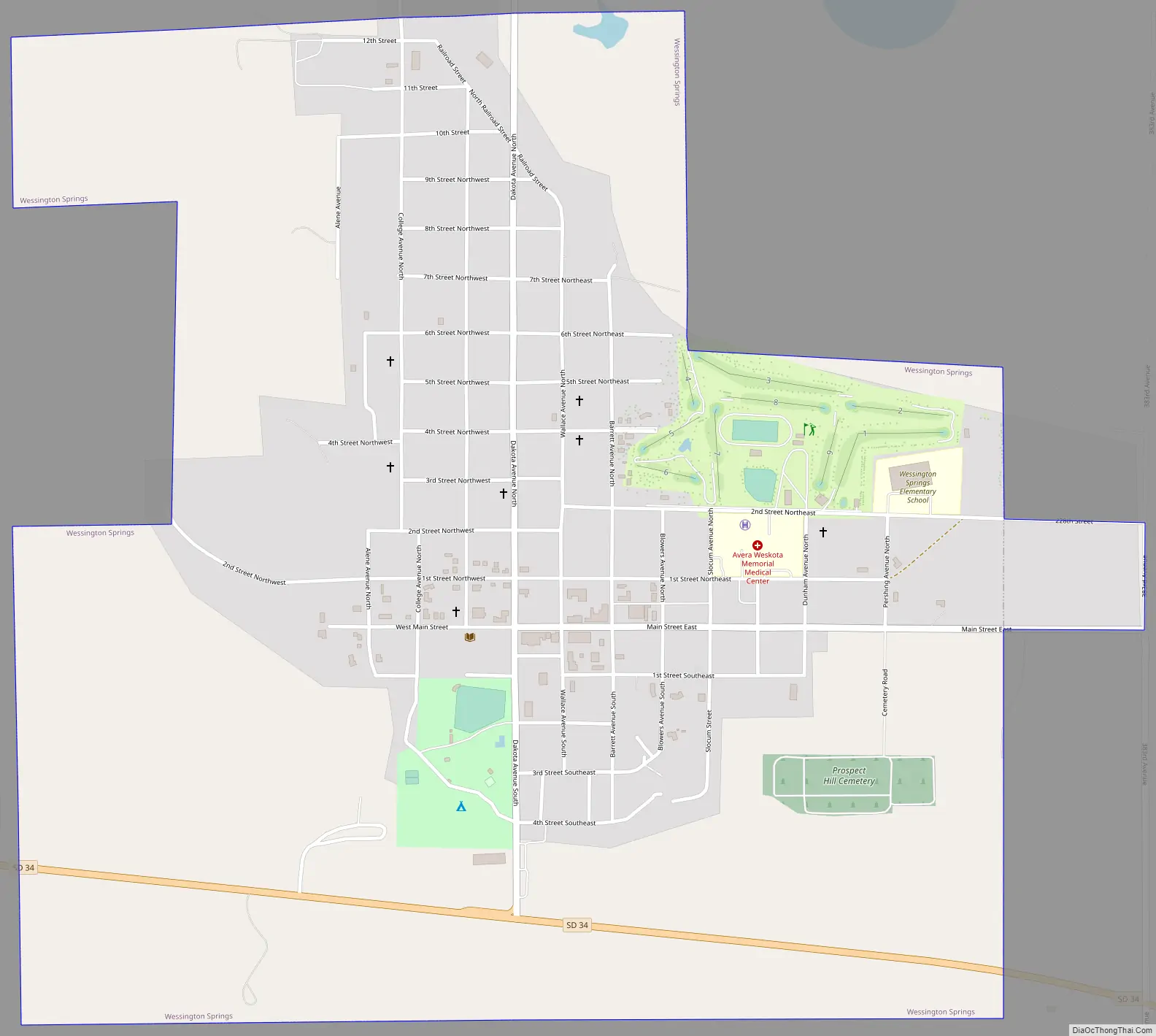
Wessington Springs Road Map
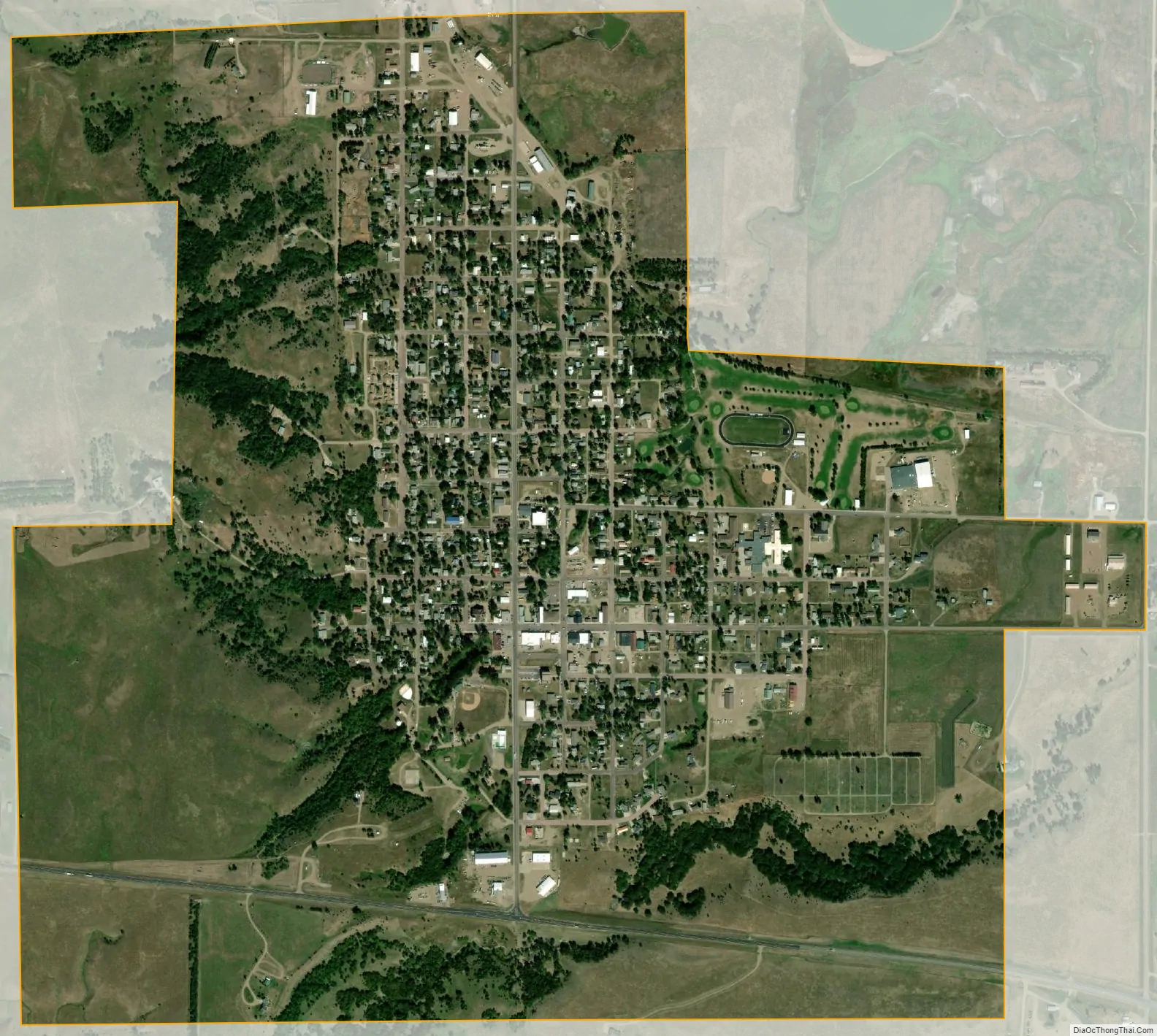
Wessington Springs city Satellite Map
Geography
Wessington Springs is located at 44°4′55″N 98°34′13″W / 44.08194°N 98.57028°W / 44.08194; -98.57028 (44.081842, -98.570244). According to the United States Census Bureau, the city has a total area of 1.77 square miles (4.58 km), all land.
Wessington Springs has been assigned the ZIP code 57382 and the FIPS place code 70220.
Climate
See also
Map of South Dakota State and its subdivision:- Aurora
- Beadle
- Bennett
- Bon Homme
- Brookings
- Brown
- Brule
- Buffalo
- Butte
- Campbell
- Charles Mix
- Clark
- Clay
- Codington
- Corson
- Custer
- Davison
- Day
- Deuel
- Dewey
- Douglas
- Edmunds
- Fall River
- Faulk
- Grant
- Gregory
- Haakon
- Hamlin
- Hand
- Hanson
- Harding
- Hughes
- Hutchinson
- Hyde
- Jackson
- Jerauld
- Jones
- Kingsbury
- Lake
- Lawrence
- Lincoln
- Lyman
- Marshall
- McCook
- McPherson
- Meade
- Mellette
- Miner
- Minnehaha
- Moody
- Pennington
- Perkins
- Potter
- Roberts
- Sanborn
- Shannon
- Spink
- Stanley
- Sully
- Todd
- Tripp
- Turner
- Union
- Walworth
- Yankton
- Ziebach
- Alabama
- Alaska
- Arizona
- Arkansas
- California
- Colorado
- Connecticut
- Delaware
- District of Columbia
- Florida
- Georgia
- Hawaii
- Idaho
- Illinois
- Indiana
- Iowa
- Kansas
- Kentucky
- Louisiana
- Maine
- Maryland
- Massachusetts
- Michigan
- Minnesota
- Mississippi
- Missouri
- Montana
- Nebraska
- Nevada
- New Hampshire
- New Jersey
- New Mexico
- New York
- North Carolina
- North Dakota
- Ohio
- Oklahoma
- Oregon
- Pennsylvania
- Rhode Island
- South Carolina
- South Dakota
- Tennessee
- Texas
- Utah
- Vermont
- Virginia
- Washington
- West Virginia
- Wisconsin
- Wyoming