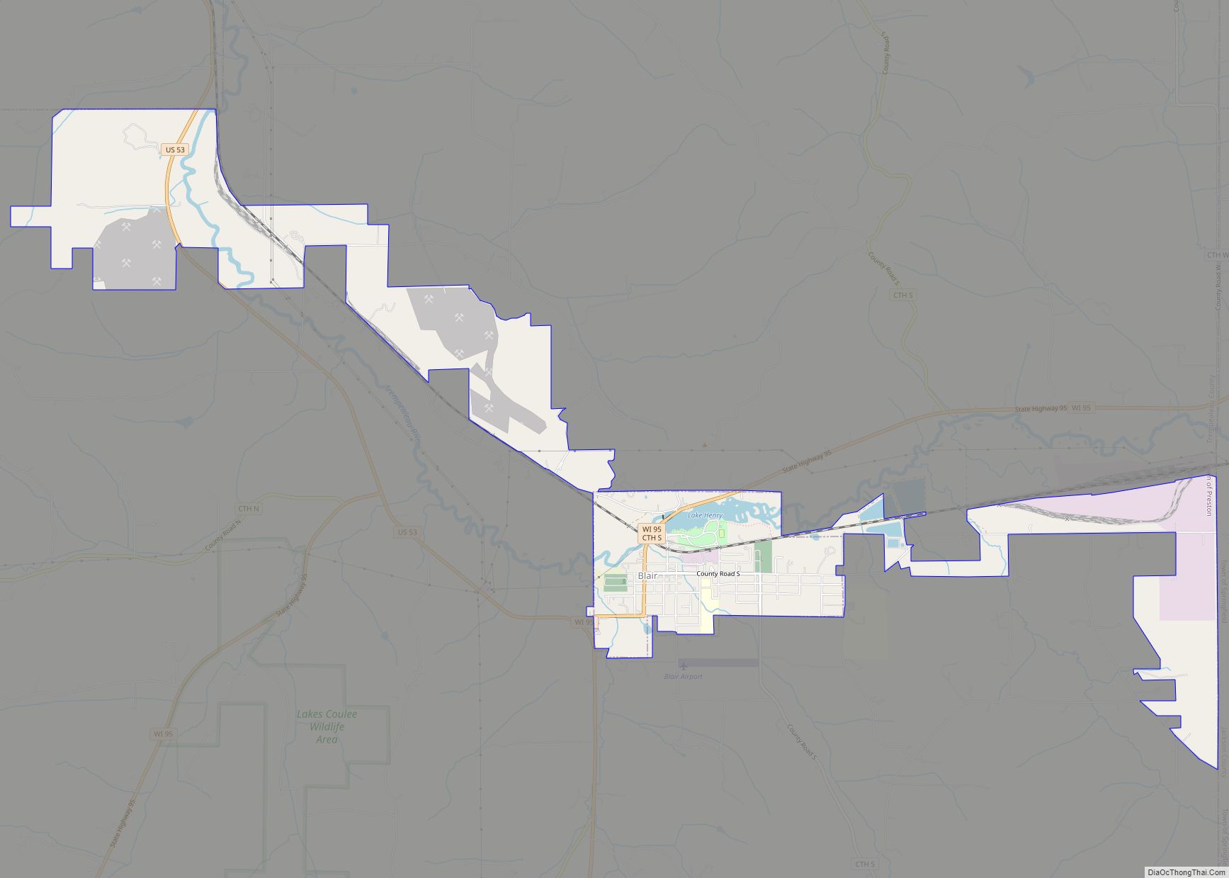
Blair is a city in Trempealeau County, Wisconsin, along the Trempealeau River. The population was 1,366 at the 2010 census.
Blair is on the former Green Bay and Western Railroad, which ran down the Trempealeau River valley to Winona, Minnesota.
| Name: | Blair city |
|---|---|
| LSAD Code: | 25 |
| LSAD Description: | city (suffix) |
| State: | Wisconsin |
| County: | Trempealeau County |
| Elevation: | 853 ft (260 m) |
| Total Area: | 4.39 sq mi (11.36 km²) |
| Land Area: | 4.30 sq mi (11.14 km²) |
| Water Area: | 0.09 sq mi (0.22 km²) |
| Total Population: | 1,366 |
| Population Density: | 312.88/sq mi (120.80/km²) |
| Area code: | 608 |
| FIPS code: | 5508075 |
| GNISfeature ID: | 1561910 |
| Website: | cityofblair.org |
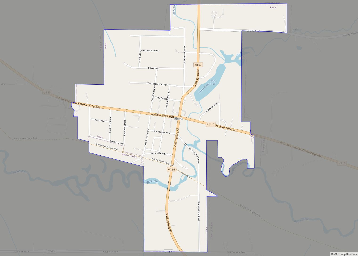
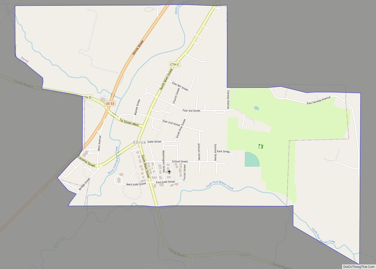
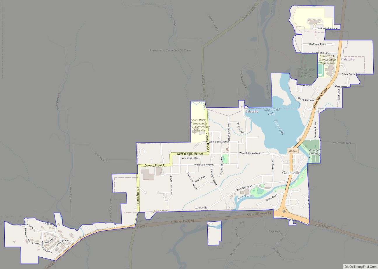
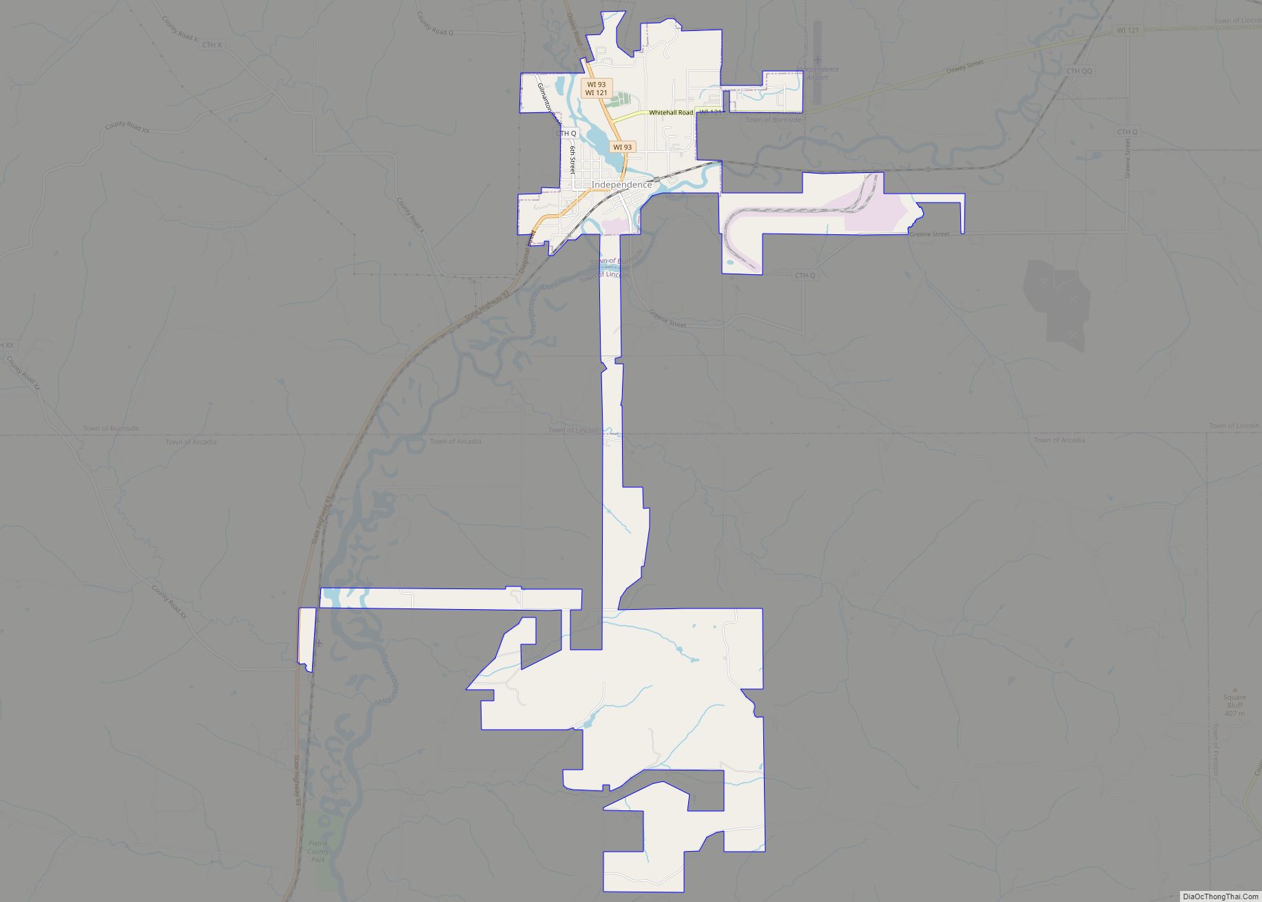
Online Interactive Map
Click on ![]() to view map in "full screen" mode.
to view map in "full screen" mode.
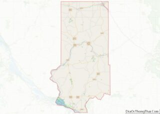
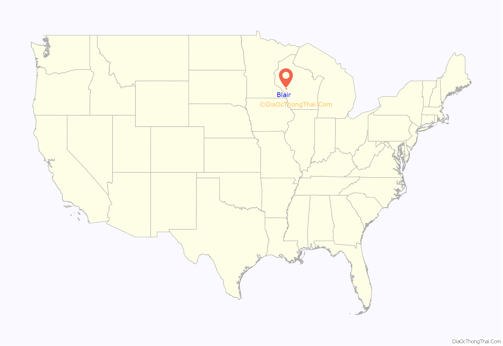
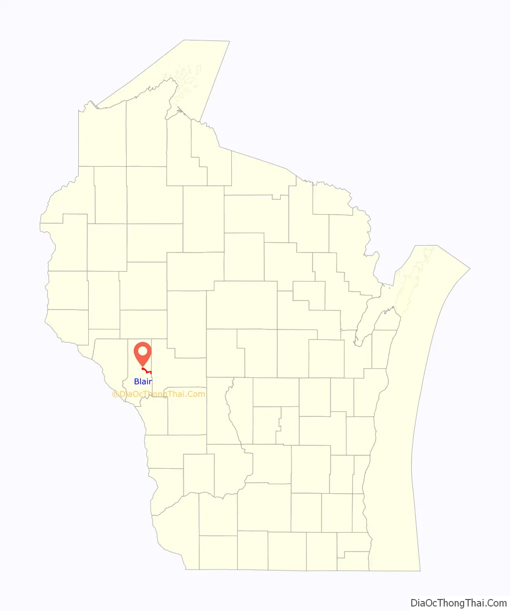
Blair location map. Where is Blair city?
History
The city was first settled during the 1850s. The majority of the city’s population are descended from Norwegian settlers, with a smaller group descended from German settlers. The city’s Norwegian heritage is represented by annual lefse and lutefisk suppers at the churches and a love of polka music. A lefse company is located in Blair.
The city’s name was changed from Porterville in 1873 when the Green Bay and Western Railroad was routed through the city. The new name of Blair came from one of the railroad’s chief investors, John Insley Blair. At one time, during the heyday of railroads, a branch line connected the GB&W with the nearby village of Ettrick, although it was later abandoned. The railroad continues to operate, although under a different name.
The city has avoided the fate of some small towns in the Midwest which slowly lost population due to young people leaving for jobs elsewhere. The population of Blair nearly doubled in the years between 1950 and 2000. During the 1950s and earlier annual floods during the snow melt were often experienced, but better farming techniques now make flooding rare. More recently, a number of Amish farming families have settled in the area and their horse-drawn carriages are sometimes seen on the roads.
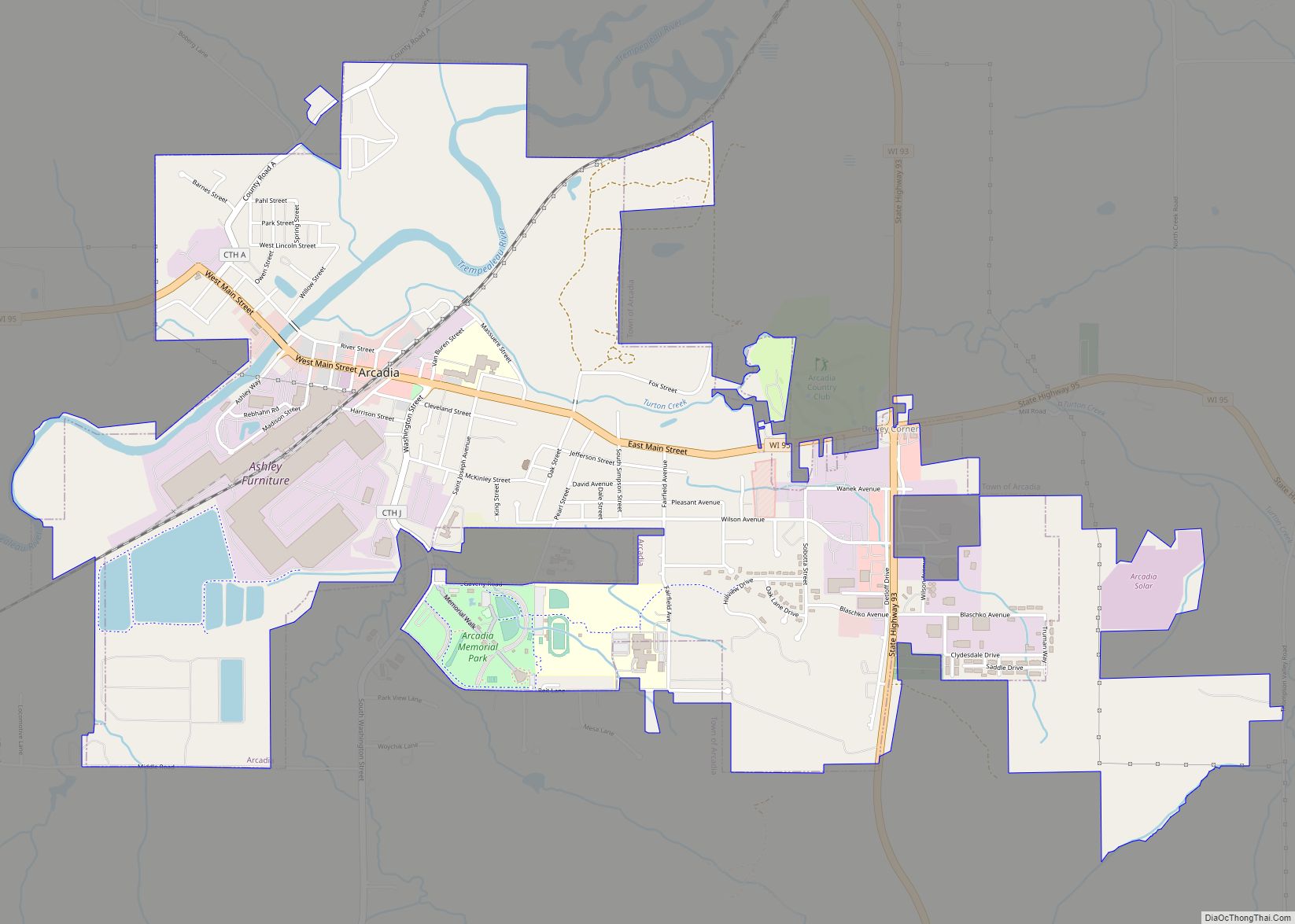
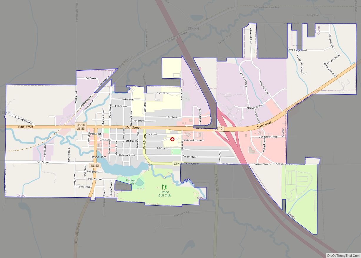
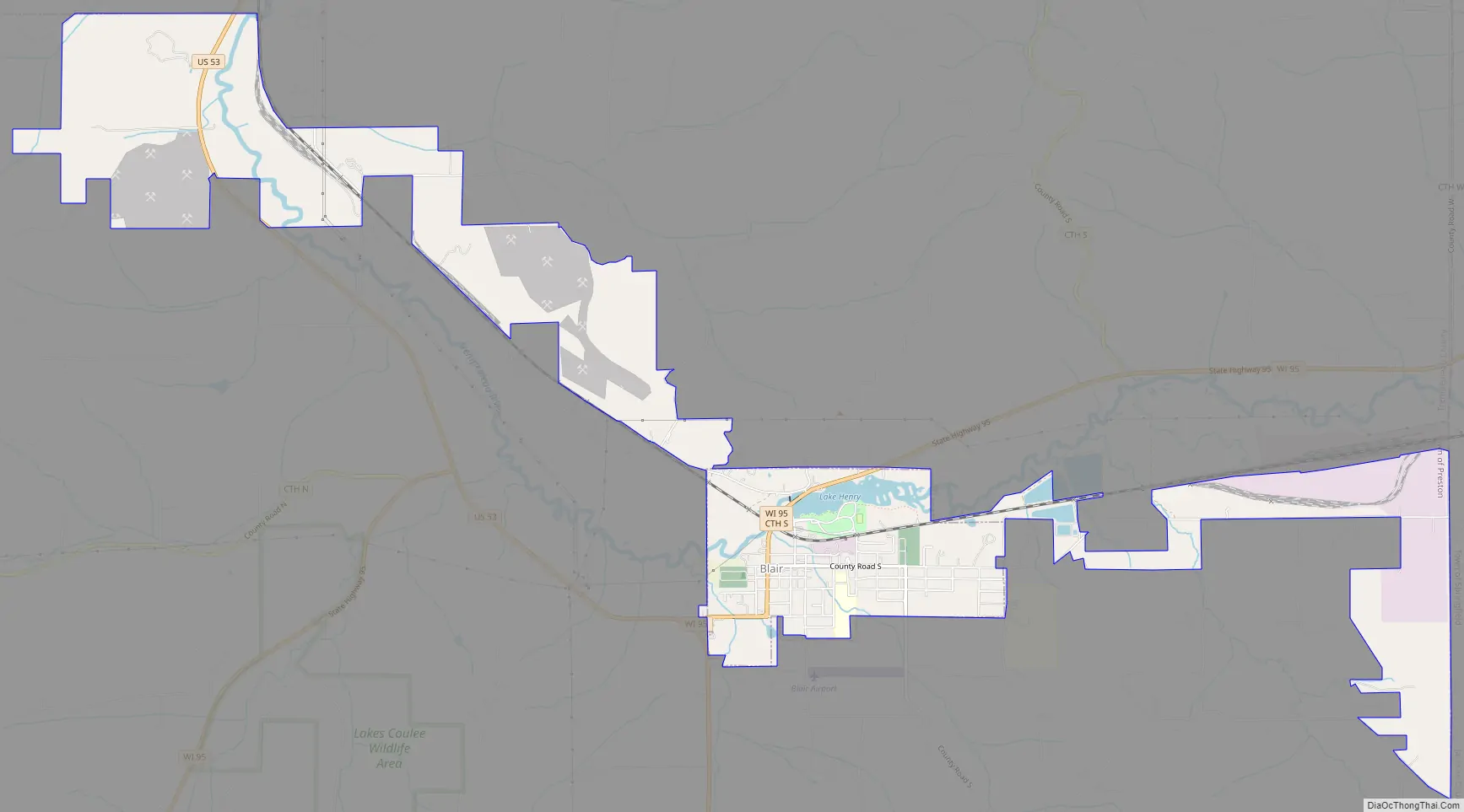
Blair Road Map
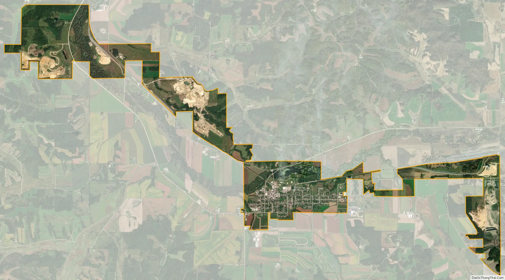
Blair city Satellite Map
Geography
According to the United States Census Bureau, the city has a total area of 1.24 square miles (3.21 km), of which, 1.15 square miles (2.98 km) is land and 0.09 square miles (0.23 km) is water.
Two highways connect to the city: Highway 53, a north-south route, and Highway 95, an east-west route. The closest large cities are Eau Claire to the north and La Crosse to the south. Whitehall, the county seat, is seven miles away. The rural area surrounding Blair is in the Town of Preston. Nearby communities include Taylor, Arcadia, Independence, Hixton, and Galesville.
The Trempealeau River near Blair was dammed to create Lake Henry, named after one of the first settlers.
Blair is in the Driftless Area, which was undisturbed by the last great glacial flow over North America. The area is also known as the Coulee Region, characterized by rolling hills. The forested hills are favored by deer hunters. Pheasants and grouse are also hunted. Local streams are fished for trout, which are stocked.
Climate
The Köppen Climate Classification subtype for this climate is “Dfb” (Warm Summer Continental Climate).
See also
Map of Wisconsin State and its subdivision:- Adams
- Ashland
- Barron
- Bayfield
- Brown
- Buffalo
- Burnett
- Calumet
- Chippewa
- Clark
- Columbia
- Crawford
- Dane
- Dodge
- Door
- Douglas
- Dunn
- Eau Claire
- Florence
- Fond du Lac
- Forest
- Grant
- Green
- Green Lake
- Iowa
- Iron
- Jackson
- Jefferson
- Juneau
- Kenosha
- Kewaunee
- La Crosse
- Lafayette
- Lake Michigan
- Lake Superior
- Langlade
- Lincoln
- Manitowoc
- Marathon
- Marinette
- Marquette
- Menominee
- Milwaukee
- Monroe
- Oconto
- Oneida
- Outagamie
- Ozaukee
- Pepin
- Pierce
- Polk
- Portage
- Price
- Racine
- Richland
- Rock
- Rusk
- Saint Croix
- Sauk
- Sawyer
- Shawano
- Sheboygan
- Taylor
- Trempealeau
- Vernon
- Vilas
- Walworth
- Washburn
- Washington
- Waukesha
- Waupaca
- Waushara
- Winnebago
- Wood
- Alabama
- Alaska
- Arizona
- Arkansas
- California
- Colorado
- Connecticut
- Delaware
- District of Columbia
- Florida
- Georgia
- Hawaii
- Idaho
- Illinois
- Indiana
- Iowa
- Kansas
- Kentucky
- Louisiana
- Maine
- Maryland
- Massachusetts
- Michigan
- Minnesota
- Mississippi
- Missouri
- Montana
- Nebraska
- Nevada
- New Hampshire
- New Jersey
- New Mexico
- New York
- North Carolina
- North Dakota
- Ohio
- Oklahoma
- Oregon
- Pennsylvania
- Rhode Island
- South Carolina
- South Dakota
- Tennessee
- Texas
- Utah
- Vermont
- Virginia
- Washington
- West Virginia
- Wisconsin
- Wyoming