Butler is a village in Waukesha County, Wisconsin, United States. The population was 1,787 at the 2020 census.
| Name: | Butler village |
|---|---|
| LSAD Code: | 47 |
| LSAD Description: | village (suffix) |
| State: | Wisconsin |
| County: | Waukesha County |
| Total Area: | 0.79 sq mi (2.05 km²) |
| Land Area: | 0.78 sq mi (2.02 km²) |
| Water Area: | 0.01 sq mi (0.03 km²) |
| Total Population: | 1,787 |
| Population Density: | 2,302.18/sq mi (888.78/km²) |
| FIPS code: | 5511475 |
| GNISfeature ID: | 1582894 |
| Website: | butlerwi.gov |
Online Interactive Map
Click on ![]() to view map in "full screen" mode.
to view map in "full screen" mode.
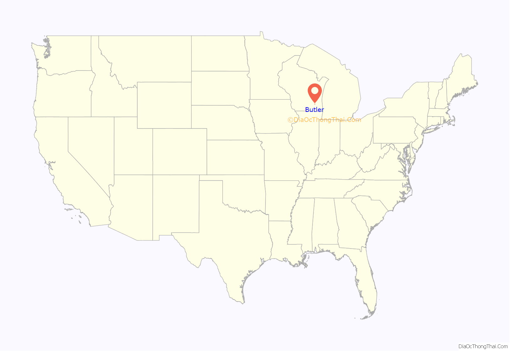
Butler location map. Where is Butler village?
History
The village of Butler exists due to the railroad. It began in the season of fall in 1909, when people from the Milwaukee, Sparta, and North Western Railway (a division of the Chicago and North Western Railway) visited farmers living on the eastern area of 124th Street and bought their land to start railroad yards around the City of Milwaukee to relieve congestion in the downtown rail yards. These railroad yards were called “New Butler”. Butler was probably named for William Butler, a large property owner in the area who had emigrated from England in the mid-1840s. In 1911, the settlement of “New Butler” was started within Waukesha County, Wisconsin. This community was started by railroad workers and their families and was incorporated with 200 people on May 5, 1913 from what land that was previously parts of the towns of Brookfield and Menomonee. The village grew as more railroad activities started, and allowed real estate speculators to buy parcels of additional land for development. In 1926 the “New” was removed from the name of the village.
Butler Road Map
Butler city Satellite Map
Geography
Butler is located at 43°6′26″N 88°4′8″W / 43.10722°N 88.06889°W / 43.10722; -88.06889 (43.107310, −88.068963).
According to the United States Census Bureau, the village has a total area of 0.79 square miles (2.05 km), of which, 0.78 square miles (2.02 km) of it is land and 0.01 square miles (0.03 km) is water.
See also
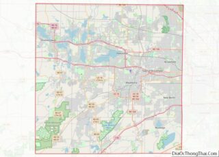
Map of Wisconsin State and its subdivision:- Adams
- Ashland
- Barron
- Bayfield
- Brown
- Buffalo
- Burnett
- Calumet
- Chippewa
- Clark
- Columbia
- Crawford
- Dane
- Dodge
- Door
- Douglas
- Dunn
- Eau Claire
- Florence
- Fond du Lac
- Forest
- Grant
- Green
- Green Lake
- Iowa
- Iron
- Jackson
- Jefferson
- Juneau
- Kenosha
- Kewaunee
- La Crosse
- Lafayette
- Lake Michigan
- Lake Superior
- Langlade
- Lincoln
- Manitowoc
- Marathon
- Marinette
- Marquette
- Menominee
- Milwaukee
- Monroe
- Oconto
- Oneida
- Outagamie
- Ozaukee
- Pepin
- Pierce
- Polk
- Portage
- Price
- Racine
- Richland
- Rock
- Rusk
- Saint Croix
- Sauk
- Sawyer
- Shawano
- Sheboygan
- Taylor
- Trempealeau
- Vernon
- Vilas
- Walworth
- Washburn
- Washington
- Waukesha
- Waupaca
- Waushara
- Winnebago
- Wood
- Alabama
- Alaska
- Arizona
- Arkansas
- California
- Colorado
- Connecticut
- Delaware
- District of Columbia
- Florida
- Georgia
- Hawaii
- Idaho
- Illinois
- Indiana
- Iowa
- Kansas
- Kentucky
- Louisiana
- Maine
- Maryland
- Massachusetts
- Michigan
- Minnesota
- Mississippi
- Missouri
- Montana
- Nebraska
- Nevada
- New Hampshire
- New Jersey
- New Mexico
- New York
- North Carolina
- North Dakota
- Ohio
- Oklahoma
- Oregon
- Pennsylvania
- Rhode Island
- South Carolina
- South Dakota
- Tennessee
- Texas
- Utah
- Vermont
- Virginia
- Washington
- West Virginia
- Wisconsin
- Wyoming
