Merton is a town in Waukesha County, Wisconsin, United States; before Wisconsin statehood, it was called Warren. The population was 8,277 at the 2020 census. The town surrounds the villages of Chenequa and Merton. The unincorporated communities of Camp Whitcomb, Monches, and North Lake are in the town and the unincorporated community of Stone Bank is partially in the town. The pioneer Swedish-American settlement of New Upsala was also at one time located within Merton.
| Name: | Merton village |
|---|---|
| LSAD Code: | 47 |
| LSAD Description: | village (suffix) |
| State: | Wisconsin |
| County: | Waukesha County |
| Total Area: | 28.3 sq mi (73.2 km²) |
| Land Area: | 25.8 sq mi (66.7 km²) |
| Water Area: | 2.5 sq mi (6.5 km²) |
| Total Population: | 8,277 |
| Population Density: | 290/sq mi (110/km²) |
| FIPS code: | 5551375 |
Online Interactive Map
Click on ![]() to view map in "full screen" mode.
to view map in "full screen" mode.
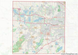
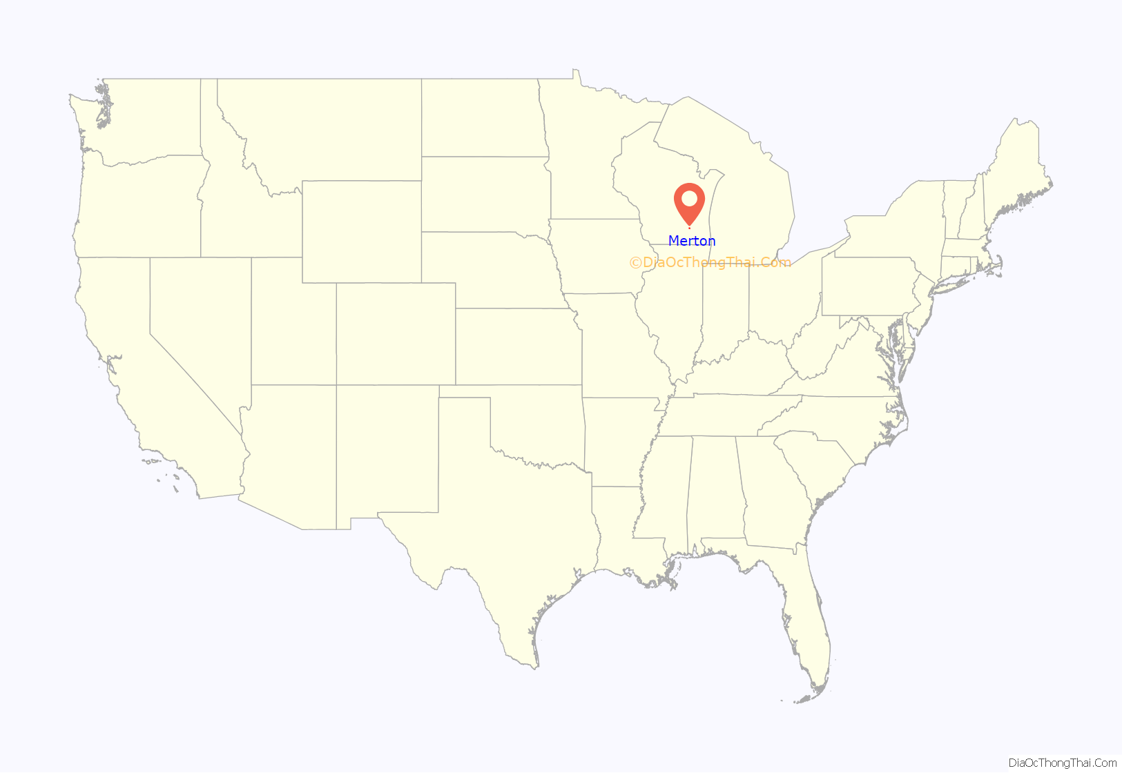
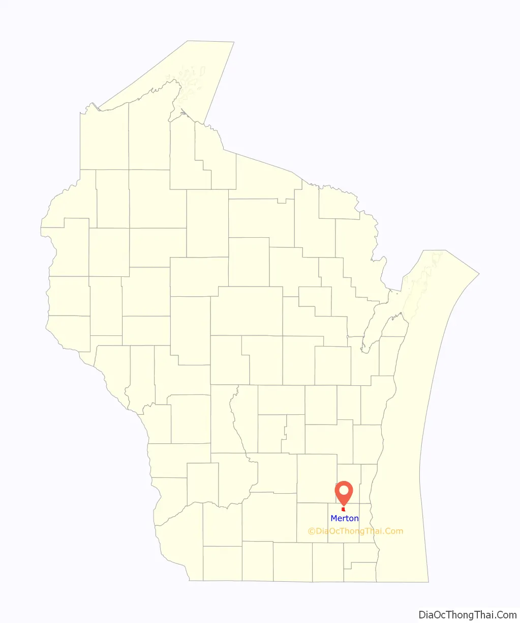
Merton location map. Where is Merton village?
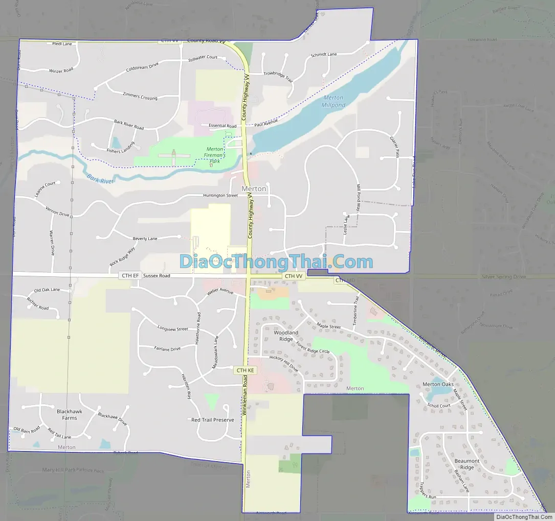
Merton Road Map
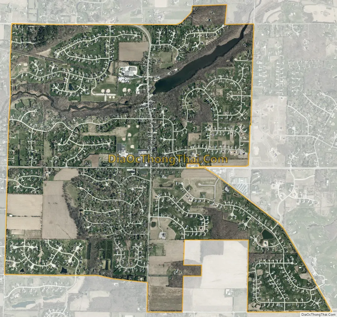
Merton city Satellite Map
Geography
According to the United States Census Bureau, the town has a total area of 28.3 square miles (73.2 km) of which 25.7 square miles (66.7 km) is land and 2.5 square miles (6.5 km) (8.88%) is water. Located in the Lake Country area of Waukesha County.
See also
Map of Wisconsin State and its subdivision:- Adams
- Ashland
- Barron
- Bayfield
- Brown
- Buffalo
- Burnett
- Calumet
- Chippewa
- Clark
- Columbia
- Crawford
- Dane
- Dodge
- Door
- Douglas
- Dunn
- Eau Claire
- Florence
- Fond du Lac
- Forest
- Grant
- Green
- Green Lake
- Iowa
- Iron
- Jackson
- Jefferson
- Juneau
- Kenosha
- Kewaunee
- La Crosse
- Lafayette
- Lake Michigan
- Lake Superior
- Langlade
- Lincoln
- Manitowoc
- Marathon
- Marinette
- Marquette
- Menominee
- Milwaukee
- Monroe
- Oconto
- Oneida
- Outagamie
- Ozaukee
- Pepin
- Pierce
- Polk
- Portage
- Price
- Racine
- Richland
- Rock
- Rusk
- Saint Croix
- Sauk
- Sawyer
- Shawano
- Sheboygan
- Taylor
- Trempealeau
- Vernon
- Vilas
- Walworth
- Washburn
- Washington
- Waukesha
- Waupaca
- Waushara
- Winnebago
- Wood
- Alabama
- Alaska
- Arizona
- Arkansas
- California
- Colorado
- Connecticut
- Delaware
- District of Columbia
- Florida
- Georgia
- Hawaii
- Idaho
- Illinois
- Indiana
- Iowa
- Kansas
- Kentucky
- Louisiana
- Maine
- Maryland
- Massachusetts
- Michigan
- Minnesota
- Mississippi
- Missouri
- Montana
- Nebraska
- Nevada
- New Hampshire
- New Jersey
- New Mexico
- New York
- North Carolina
- North Dakota
- Ohio
- Oklahoma
- Oregon
- Pennsylvania
- Rhode Island
- South Carolina
- South Dakota
- Tennessee
- Texas
- Utah
- Vermont
- Virginia
- Washington
- West Virginia
- Wisconsin
- Wyoming