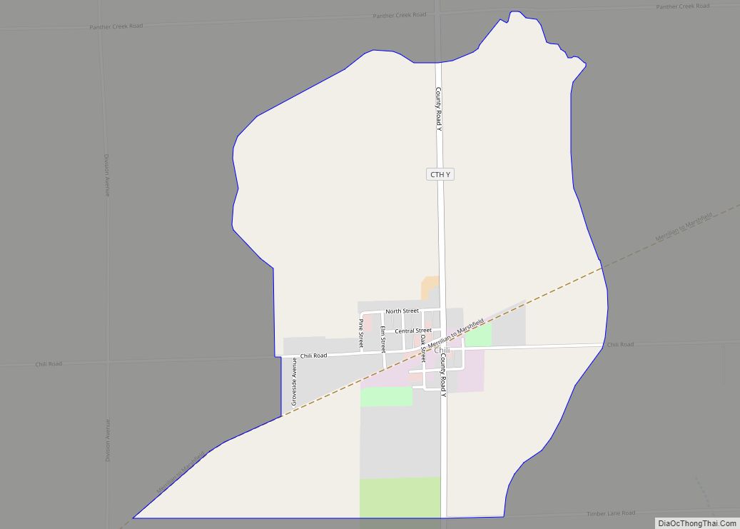
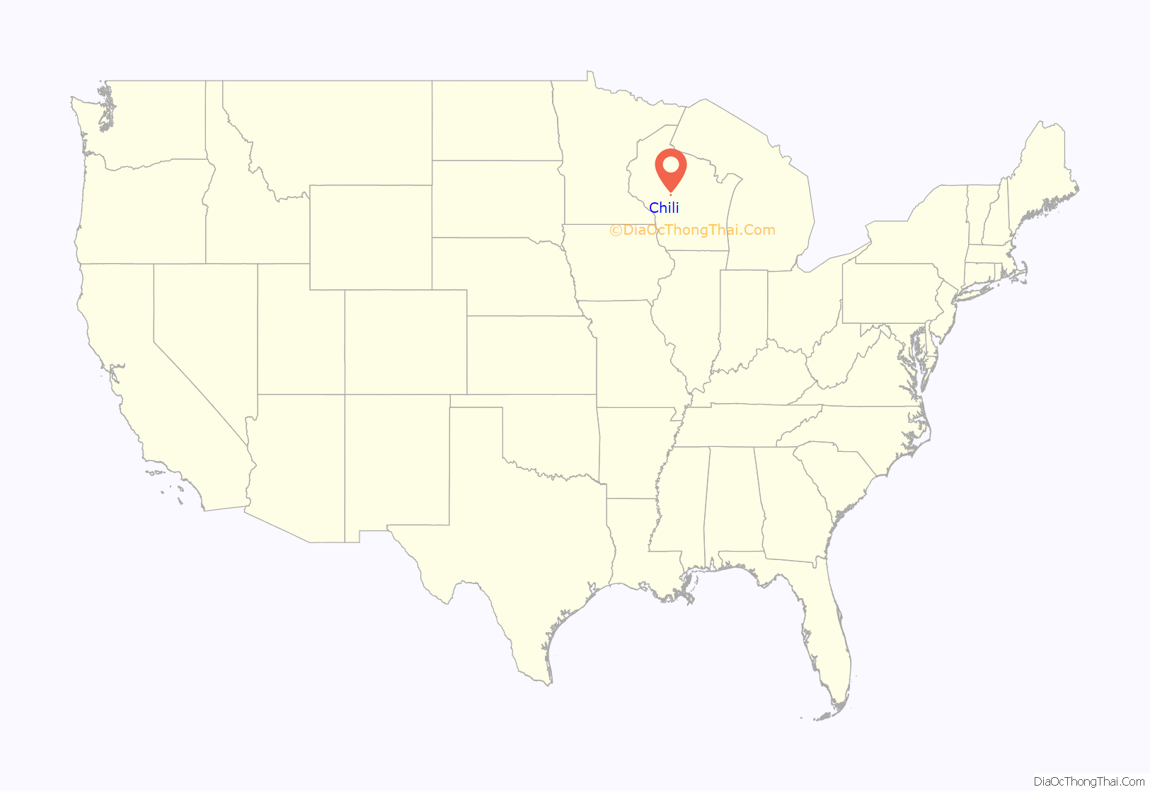
Chili is an unincorporated census-designated place in the Town of Fremont in Clark County, Wisconsin, United States. Chili is west-southwest of Marshfield. Chili has a post office with ZIP code 54420. As of the 2010 census, its population was 226.
| Name: | Chili CDP |
|---|---|
| LSAD Code: | 57 |
| LSAD Description: | CDP (suffix) |
| State: | Wisconsin |
| County: | Clark County |
| Elevation: | 1,234 ft (376 m) |
| Total Area: | 1.301 sq mi (3.37 km²) |
| Land Area: | 1.287 sq mi (3.33 km²) |
| Water Area: | 0.014 sq mi (0.04 km²) |
| Total Population: | 226 |
| Population Density: | 170/sq mi (67/km²) |
| ZIP code: | 54420 |
| Area code: | 715 & 534 |
| FIPS code: | 5514450 |
| GNISfeature ID: | 1563021 |
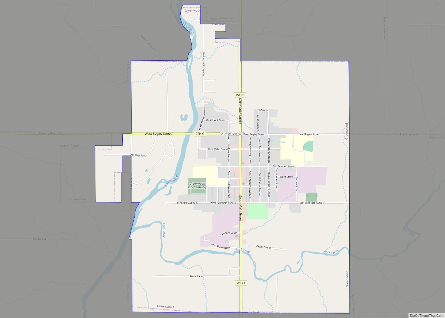
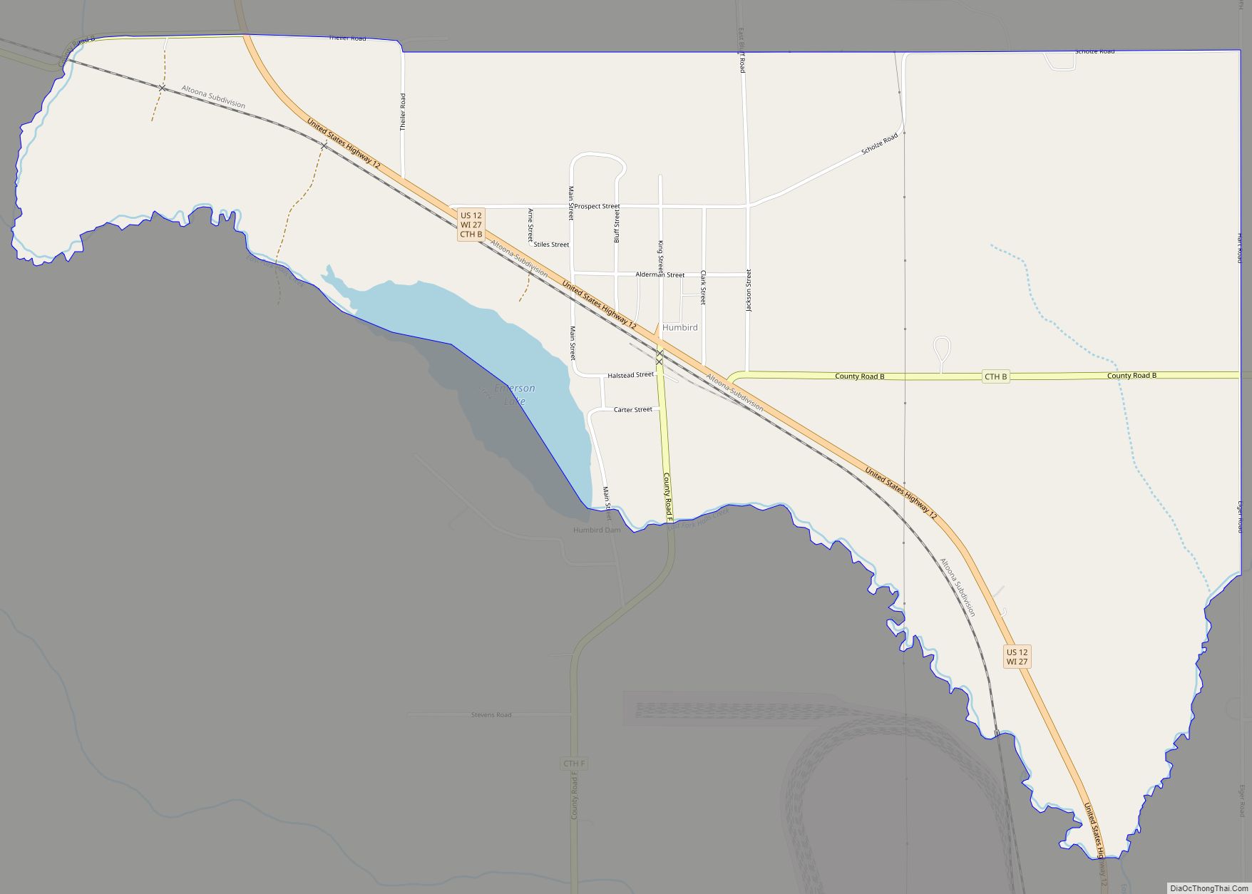
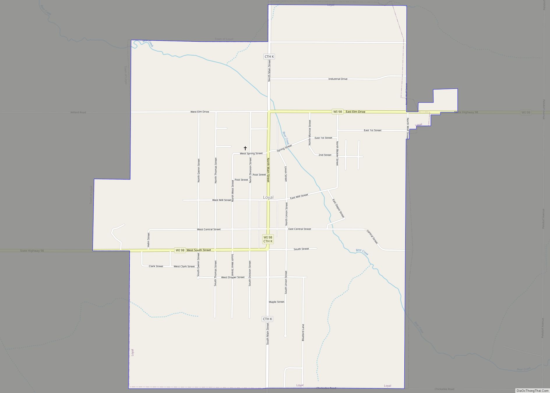
Online Interactive Map
Click on ![]() to view map in "full screen" mode.
to view map in "full screen" mode.
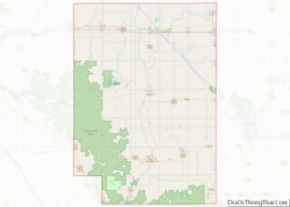
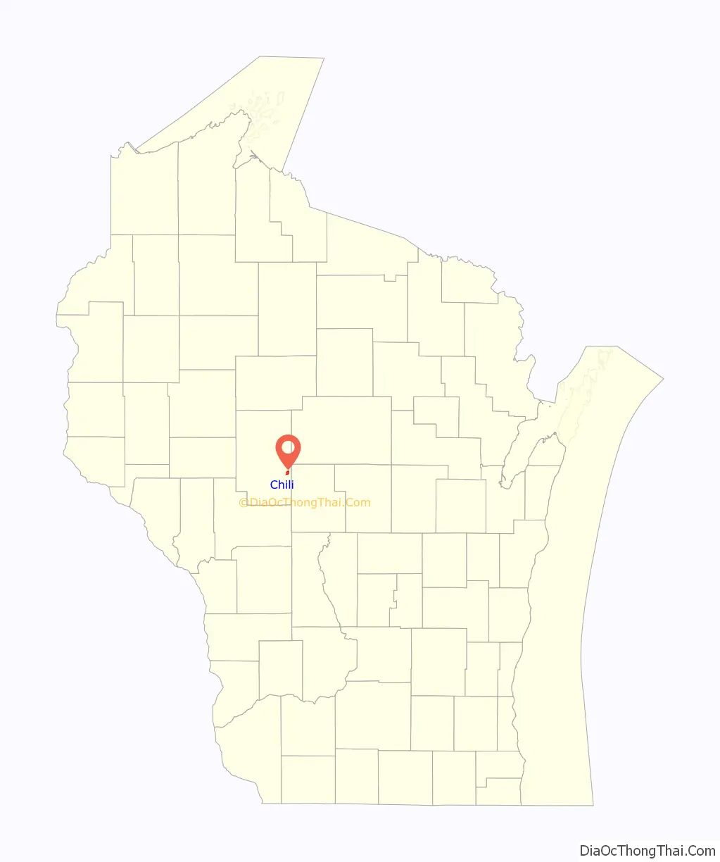
Chili location map. Where is Chili CDP?
History
Around the year 1880 the Chicago and North Western Railway built through this area in south-east Clark County to take care of local sawmills. There was a sawmill about a mile east of where the railroad had put in a siding called Cedarhurst. Another such sawmill was built at the present-day CDP of Chili, and grew to be a rather extensive operation. One blistering, cold day during the winter of 1881, the railroad officials came here for the purpose of choosing a name for the then-hamlet. It was so wintry cold they did not want to step out of the train, it was then that one of them is supposed to have said, “Let’s call this stop Chili because it is really chilly here.” On another account, the community is also said to be named after the country Chile, in South America.
A post office called Chili has been in operation since 1892.
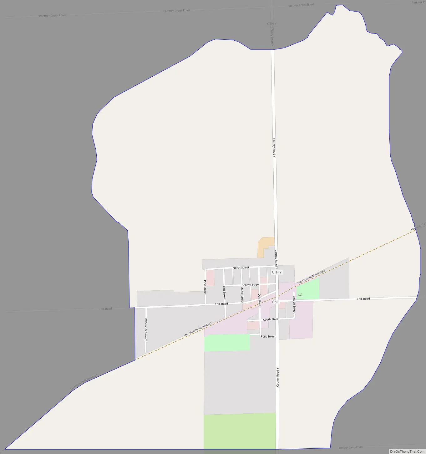
Chili Road Map
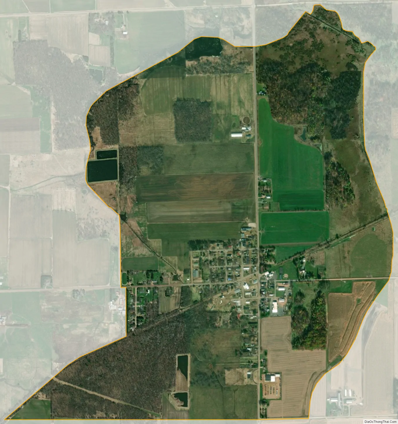
Chili city Satellite Map
See also
Map of Wisconsin State and its subdivision:- Adams
- Ashland
- Barron
- Bayfield
- Brown
- Buffalo
- Burnett
- Calumet
- Chippewa
- Clark
- Columbia
- Crawford
- Dane
- Dodge
- Door
- Douglas
- Dunn
- Eau Claire
- Florence
- Fond du Lac
- Forest
- Grant
- Green
- Green Lake
- Iowa
- Iron
- Jackson
- Jefferson
- Juneau
- Kenosha
- Kewaunee
- La Crosse
- Lafayette
- Lake Michigan
- Lake Superior
- Langlade
- Lincoln
- Manitowoc
- Marathon
- Marinette
- Marquette
- Menominee
- Milwaukee
- Monroe
- Oconto
- Oneida
- Outagamie
- Ozaukee
- Pepin
- Pierce
- Polk
- Portage
- Price
- Racine
- Richland
- Rock
- Rusk
- Saint Croix
- Sauk
- Sawyer
- Shawano
- Sheboygan
- Taylor
- Trempealeau
- Vernon
- Vilas
- Walworth
- Washburn
- Washington
- Waukesha
- Waupaca
- Waushara
- Winnebago
- Wood
- Alabama
- Alaska
- Arizona
- Arkansas
- California
- Colorado
- Connecticut
- Delaware
- District of Columbia
- Florida
- Georgia
- Hawaii
- Idaho
- Illinois
- Indiana
- Iowa
- Kansas
- Kentucky
- Louisiana
- Maine
- Maryland
- Massachusetts
- Michigan
- Minnesota
- Mississippi
- Missouri
- Montana
- Nebraska
- Nevada
- New Hampshire
- New Jersey
- New Mexico
- New York
- North Carolina
- North Dakota
- Ohio
- Oklahoma
- Oregon
- Pennsylvania
- Rhode Island
- South Carolina
- South Dakota
- Tennessee
- Texas
- Utah
- Vermont
- Virginia
- Washington
- West Virginia
- Wisconsin
- Wyoming