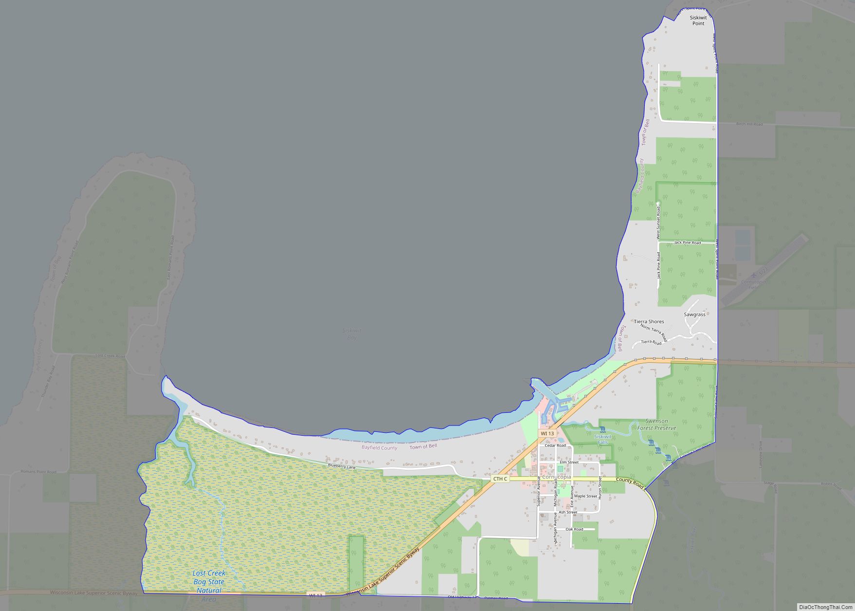
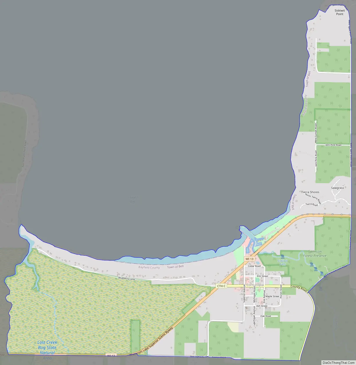
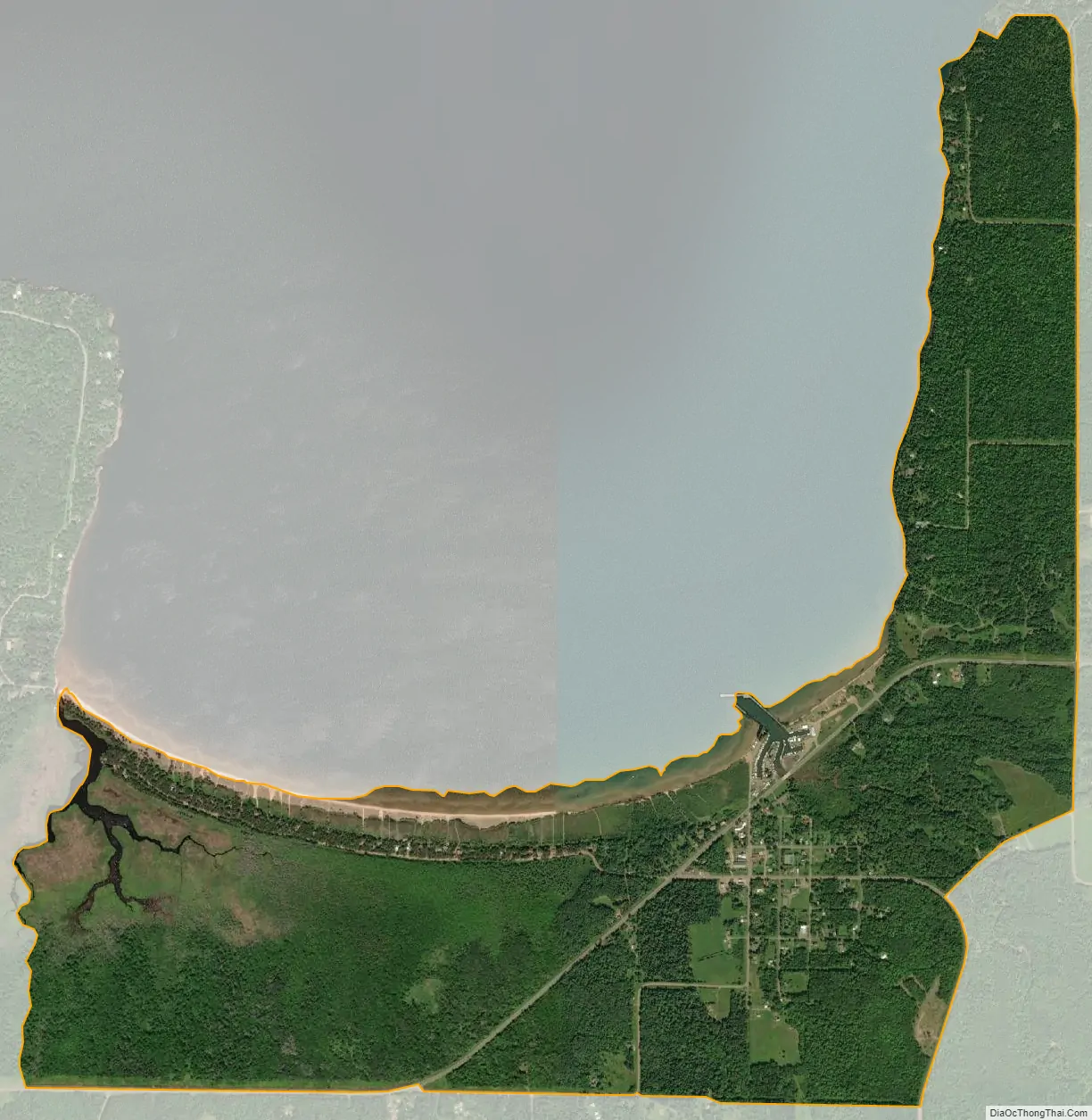
Cornucopia is an unincorporated census-designated place in the town of Bell in northern Bayfield County, Wisconsin, United States. It is situated on Lake Superior at the northern end of the Bayfield Peninsula. It is along Wisconsin Highway 13 and County Highway C. As of the 2010 census, its population was 98. The community borders the lake at Siskiwit Bay, between Roman’s Point and Mawikwe (formerly Squaw) Point. It is near a mainland portion of the Apostle Islands National Lakeshore, which features the Mawikwe Bay Sea Caves.
Most residents of the Town of Bell with Cornucopia mailing addresses are considered residents of Cornucopia.
| Name: | Cornucopia CDP |
|---|---|
| LSAD Code: | 57 |
| LSAD Description: | CDP (suffix) |
| State: | Wisconsin |
| County: | Bayfield County |
| Elevation: | 623 ft (190 m) |
| Total Area: | 2.264 sq mi (5.86 km²) |
| Land Area: | 2.264 sq mi (5.86 km²) |
| Water Area: | 0 sq mi (0 km²) |
| Total Population: | 98 |
| Population Density: | 43/sq mi (17/km²) |
| ZIP code: | 54827 |
| Area code: | 715 and 534 |
| FIPS code: | 5517150 |
| GNISfeature ID: | 1579043 |
Online Interactive Map
Click on ![]() to view map in "full screen" mode.
to view map in "full screen" mode.
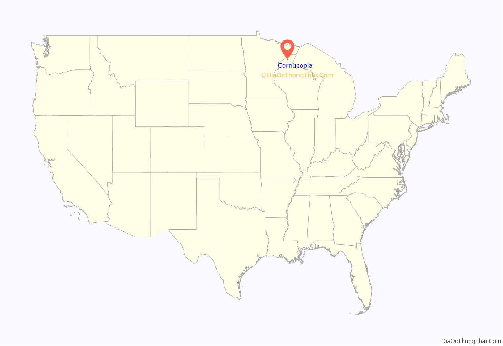
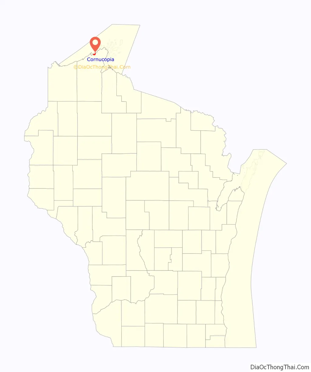
Cornucopia location map. Where is Cornucopia CDP?
History
The Ojibwe used the Siskiwit Bay area as a temporary camp and a stopover on the way to La Pointe. “Siskiwit” comes from an Ojibwe word for a subspecies of Lake trout known in English as a “fat trout”. A historical marker at the Cornucopia beach tells of the Tragedy of the Siskiwit, an Ojibwe battle on that site with a band of Meskwaki that lead to several deaths and the kidnapping of a chief’s son.
The first white settlers in the Siskiwit Bay area were loggers who came at the close of the nineteenth century. Remnants of this period include abandoned railroad pilings in Siskiwit Lake and a legend of stolen gold on Gold Hill at the southeastern edge of the community.
The first farmers were “Russians” who came to the Town of Bell from the Austrian Empire via Chicago. They were not Great Russians but Carpatho-Russians or Rusyns, an ethnic group found in the mountainous borderlands of Poland, Slovakia, Ukraine, and, Romania. Rusyn surnames found in Cornucopia include Kaseno, Celinsky, Sveda, Roman, and Pristash.
Commercial fishing for lake trout, whitefish, and freshwater herring has traditionally operated out of Cornucopia’s harbor. The Jones, Ehlers, Johnson, and Ivanow families kept the fishing industry going during the twentieth century. Today only the Halvorson family engages in commercial fishing out of Cornucopia.
In 1903, T.J. Stevenson and Albert Wescott, two land speculators from Iowa established a post office and gave the village the name “Cornucopia” for its abundance of resources. A centennial celebration in 2003 recognized this event.
After World War II, Cornucopia’s natural environment led tourism to replace logging, farming, and fishing as the dominant industry of the community. Today, most working-age residents are engaged in trades, service, or seasonal employment.
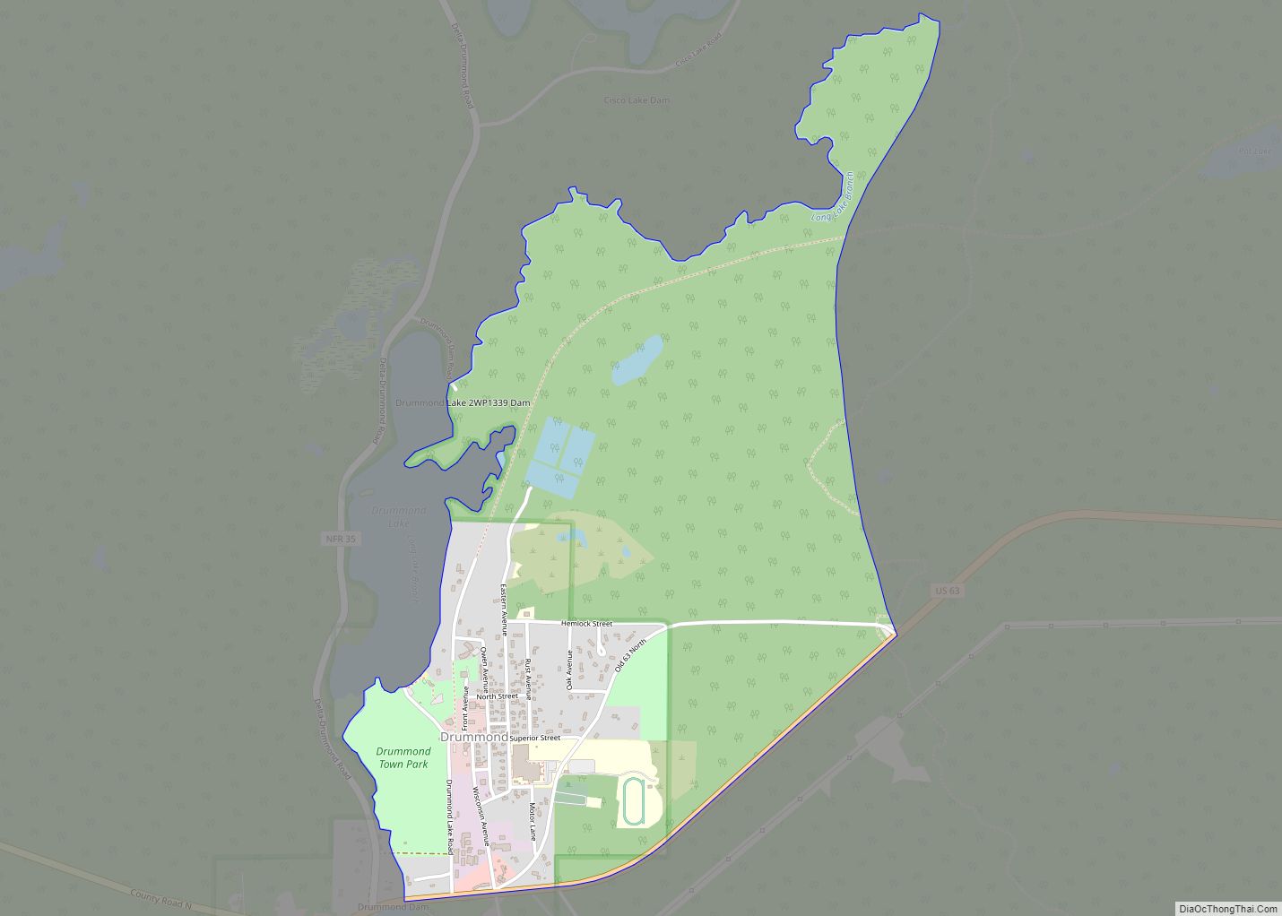
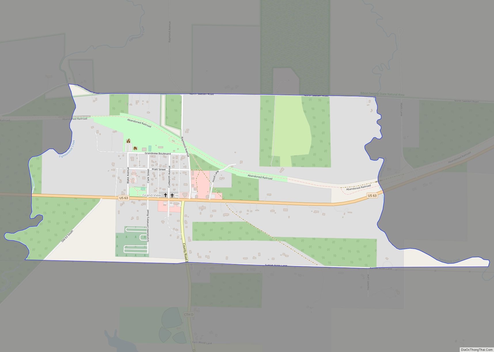
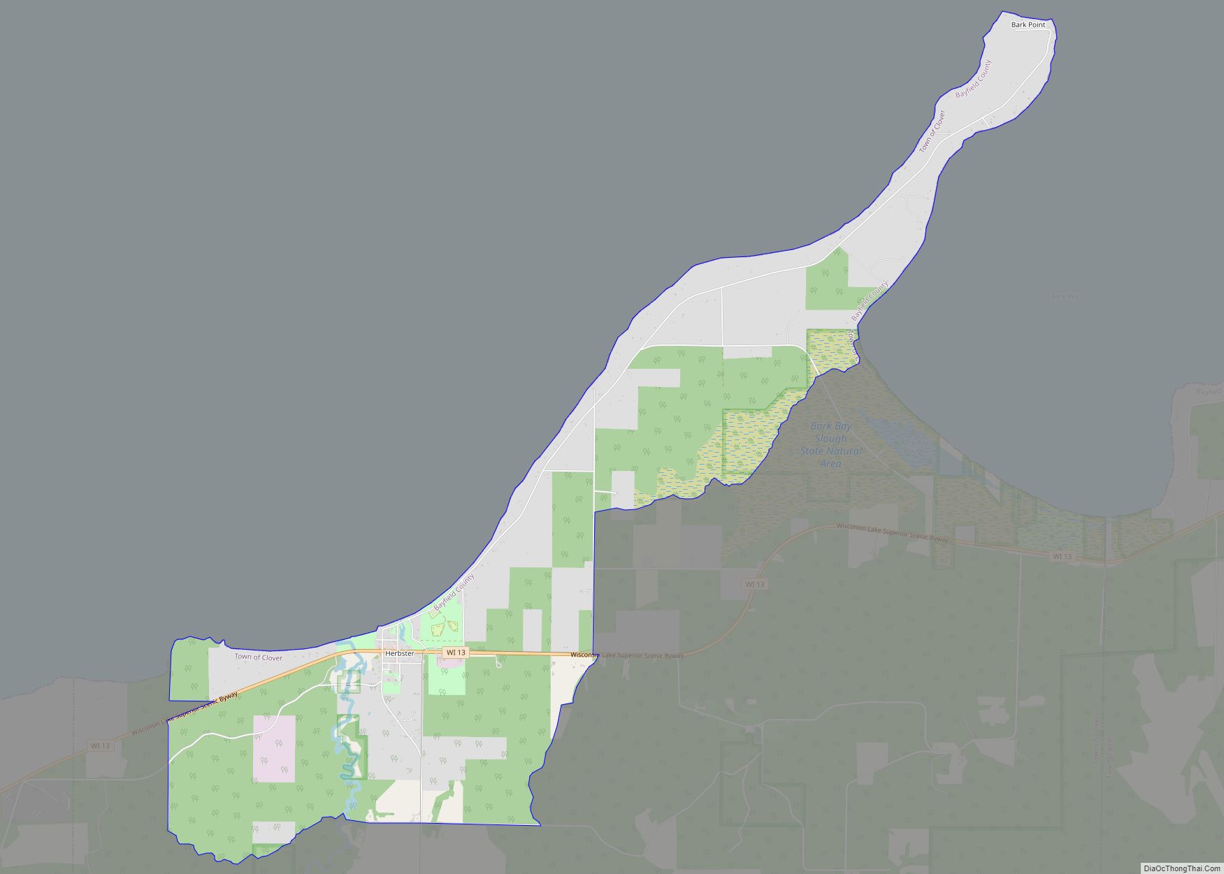
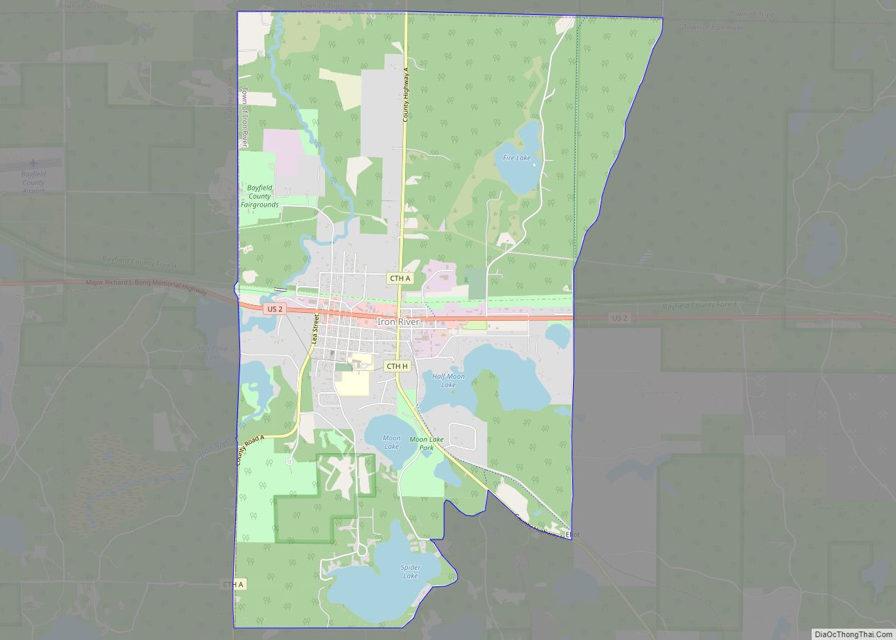
Cornucopia Road Map
Cornucopia city Satellite Map
Geography
Cornucopia has an area of 2.264 square miles (5.86 km), all of it land.
See also
Map of Wisconsin State and its subdivision:- Adams
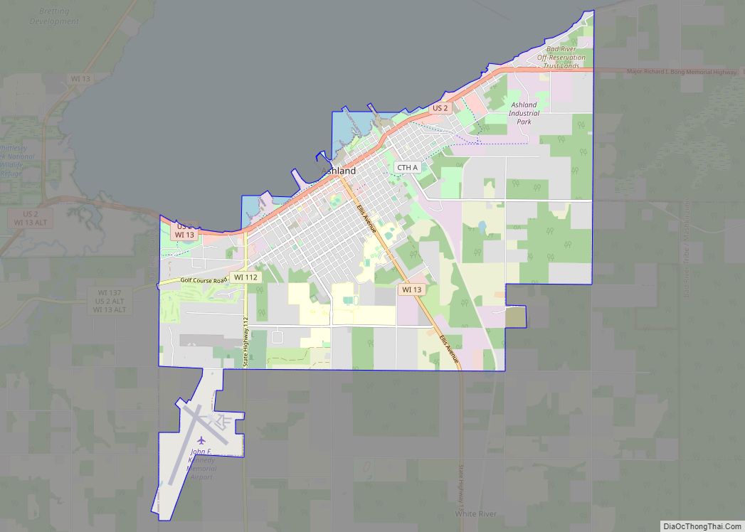
- Ashland
- Barron
- Bayfield
- Brown
- Buffalo
- Burnett
- Calumet
- Chippewa
- Clark
- Columbia
- Crawford
- Dane
- Dodge
- Door
- Douglas
- Dunn
- Eau Claire
- Florence
- Fond du Lac
- Forest
- Grant
- Green
- Green Lake
- Iowa
- Iron
- Jackson
- Jefferson
- Juneau
- Kenosha
- Kewaunee
- La Crosse
- Lafayette
- Lake Michigan
- Lake Superior
- Langlade
- Lincoln
- Manitowoc
- Marathon
- Marinette
- Marquette
- Menominee
- Milwaukee
- Monroe
- Oconto
- Oneida
- Outagamie
- Ozaukee
- Pepin
- Pierce
- Polk
- Portage
- Price
- Racine
- Richland
- Rock
- Rusk
- Saint Croix
- Sauk
- Sawyer
- Shawano
- Sheboygan
- Taylor
- Trempealeau
- Vernon
- Vilas
- Walworth
- Washburn
- Washington
- Waukesha
- Waupaca
- Waushara
- Winnebago
- Wood
- Alabama
- Alaska
- Arizona
- Arkansas
- California
- Colorado
- Connecticut
- Delaware
- District of Columbia
- Florida
- Georgia
- Hawaii
- Idaho
- Illinois
- Indiana
- Iowa
- Kansas
- Kentucky
- Louisiana
- Maine
- Maryland
- Massachusetts
- Michigan
- Minnesota
- Mississippi
- Missouri
- Montana
- Nebraska
- Nevada
- New Hampshire
- New Jersey
- New Mexico
- New York
- North Carolina
- North Dakota
- Ohio
- Oklahoma
- Oregon
- Pennsylvania
- Rhode Island
- South Carolina
- South Dakota
- Tennessee
- Texas
- Utah
- Vermont
- Virginia
- Washington
- West Virginia
- Wisconsin
- Wyoming