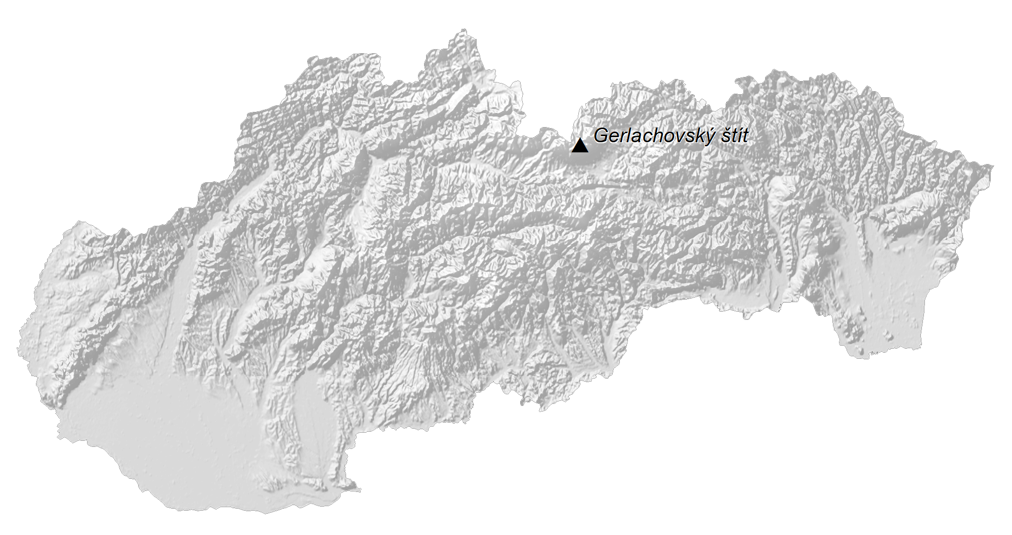
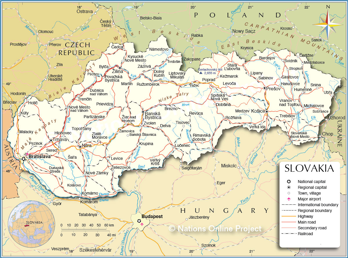
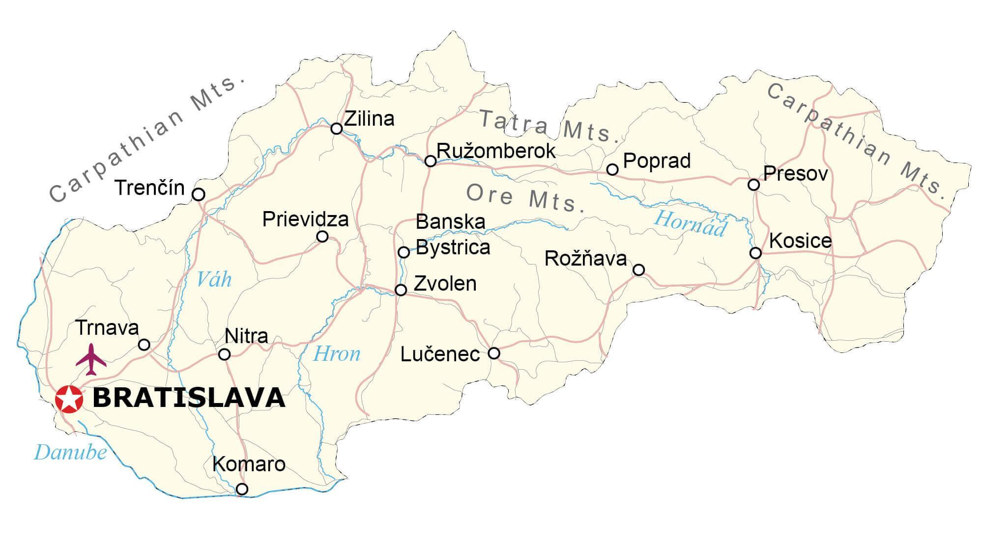
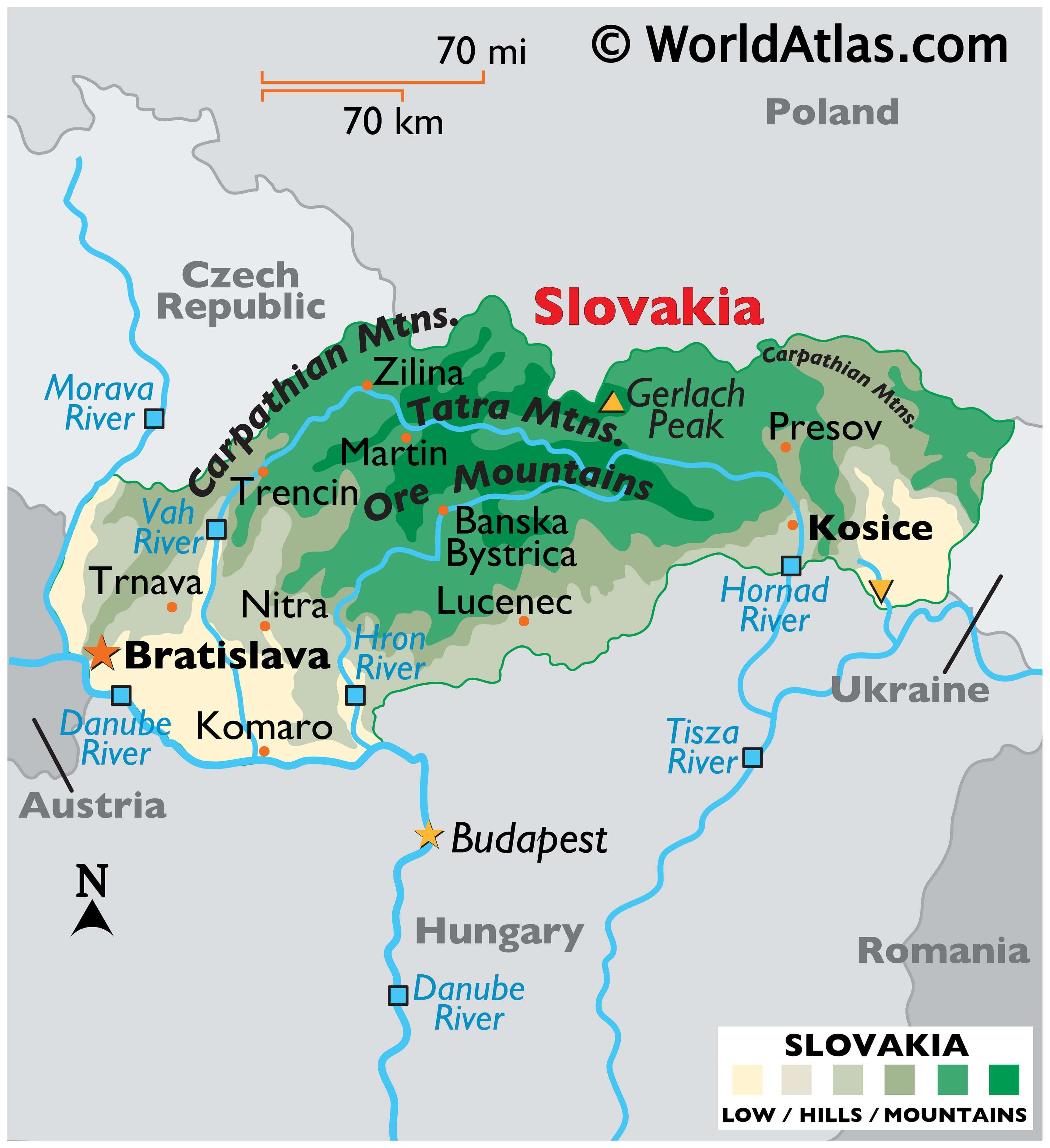
The landlocked sovereign country of Slovakia covers an area of 49,035 km2(18,933 sq mi) in Central Europe. As observed on the physical map of Slovakia, the country has a highly mountainous topography.
Heavily-forested, the rugged Ore Mountains and Tatra Mountains dominate the central regions of Slovakia, while the Carpathian Mountains cover its northern borders with the Czech Republic and Poland.
The tallest peaks are in the Tatra Mountains. The highest point is Gerlach Peak, rising to 8,743 ft. (2,665m). Its position has been marked on the map.
The mountains slope into the fertile lowlands of the Danube River plain as well as to its southeastern border with the Ukraine.
Significant rivers include the Danube, Morava, Hron, Hornad and Vah. The Hron is a 298 km long tributary of the Danube and the second longest river in Slovakia. Its basin covers approximately 11% of Slovakia’s territory.
The lowest point of Slovakia lies near a place where the Bodrog River crosses the border with Hungary, at 308 ft (94m) above sea level. A yellow inverted triangle marks the position of the lowest point on the map.
Slovakia is rich in small natural lakes, as well as reservoirs that were built in order to store water to prevent flooding or to generate electricity.
And Slovakia is the only European country outside of Scandinavia to have a geyser. Located near Kosice, the geyser shoots 1,056 gallons of water 98 feet into the air for 20 minutes once every 32-34 hours.
| Flag: |  |
|---|---|
| Legal Name: | Slovak Republic |
| Capital Value: | Bratislava |
| Largest City: |
Bratislava (434,926) |
| Official languages: | Slovak |
| Demonym(s): | Slovak |
| Government: | Unitary parliamentary republic |
| Legislature: | National Council |
| Total Area: | 49,035 km² |
| Land Area: | 48,105 km² |
| Water Area: | 930 km² |
| Population: | 5,454,073 |
| Density: | 111/km (287.5/sq mi) (88th) |
| GDP: | $105.42 Billion |
| GDP Per Capita: | $19,329.10 |
| Currency Value: | Euros (EUR) |
| Driving side: | right |
| Calling code: | +421 |
| Internet TLD: | .sk and .eu |
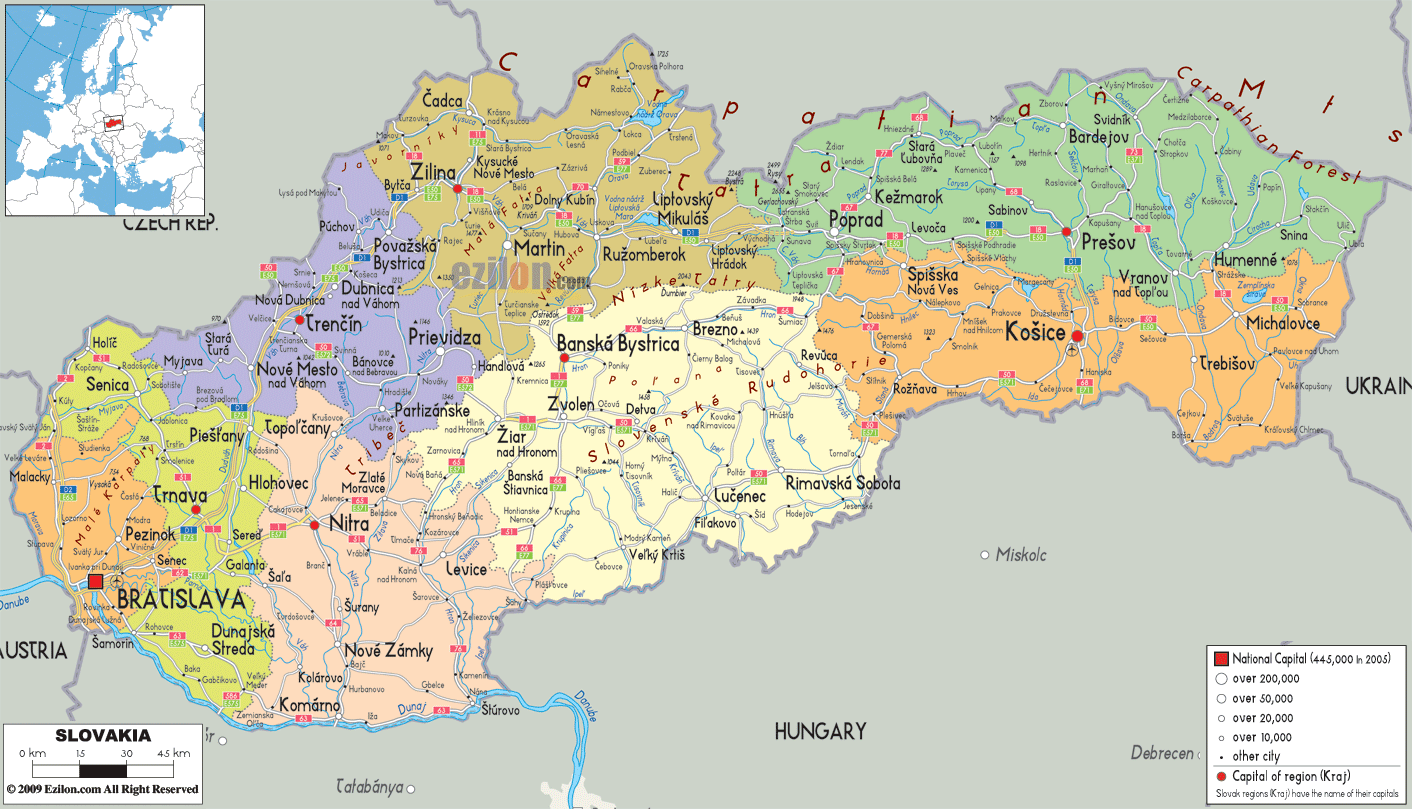
Explore the beauty of Slovakia with this detailed map. From the Eastern Slovak Lowlands to the Tatra Mountains, you’ll be able to get a better understanding of the geography of the country. This map features major cities, rivers, and highways, as well as a satellite and elevation map of Slovakia. Get to know the country better with this interactive map.
Online Interactive Political Map
Click on ![]() to view map in "full screen" mode.
to view map in "full screen" mode.
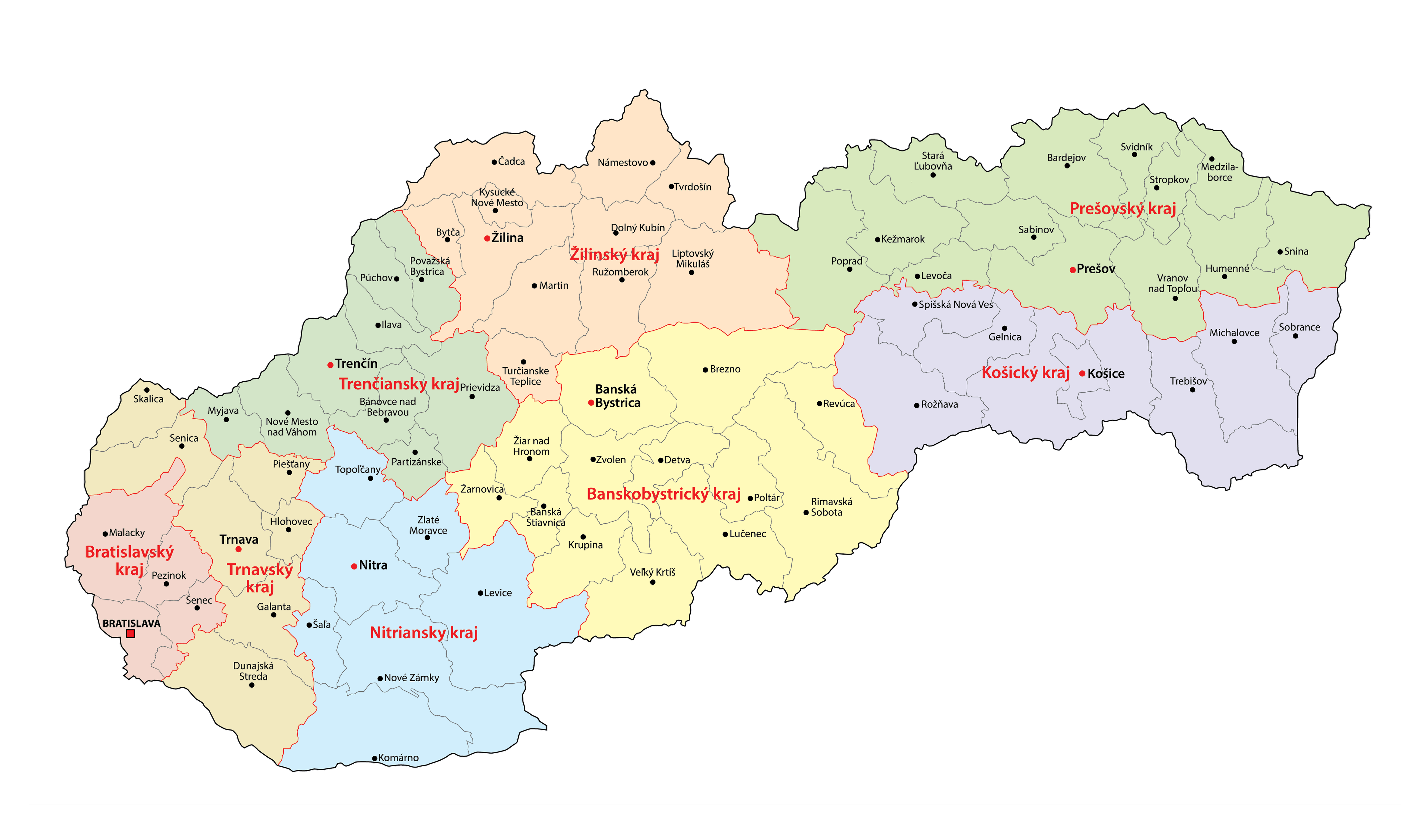
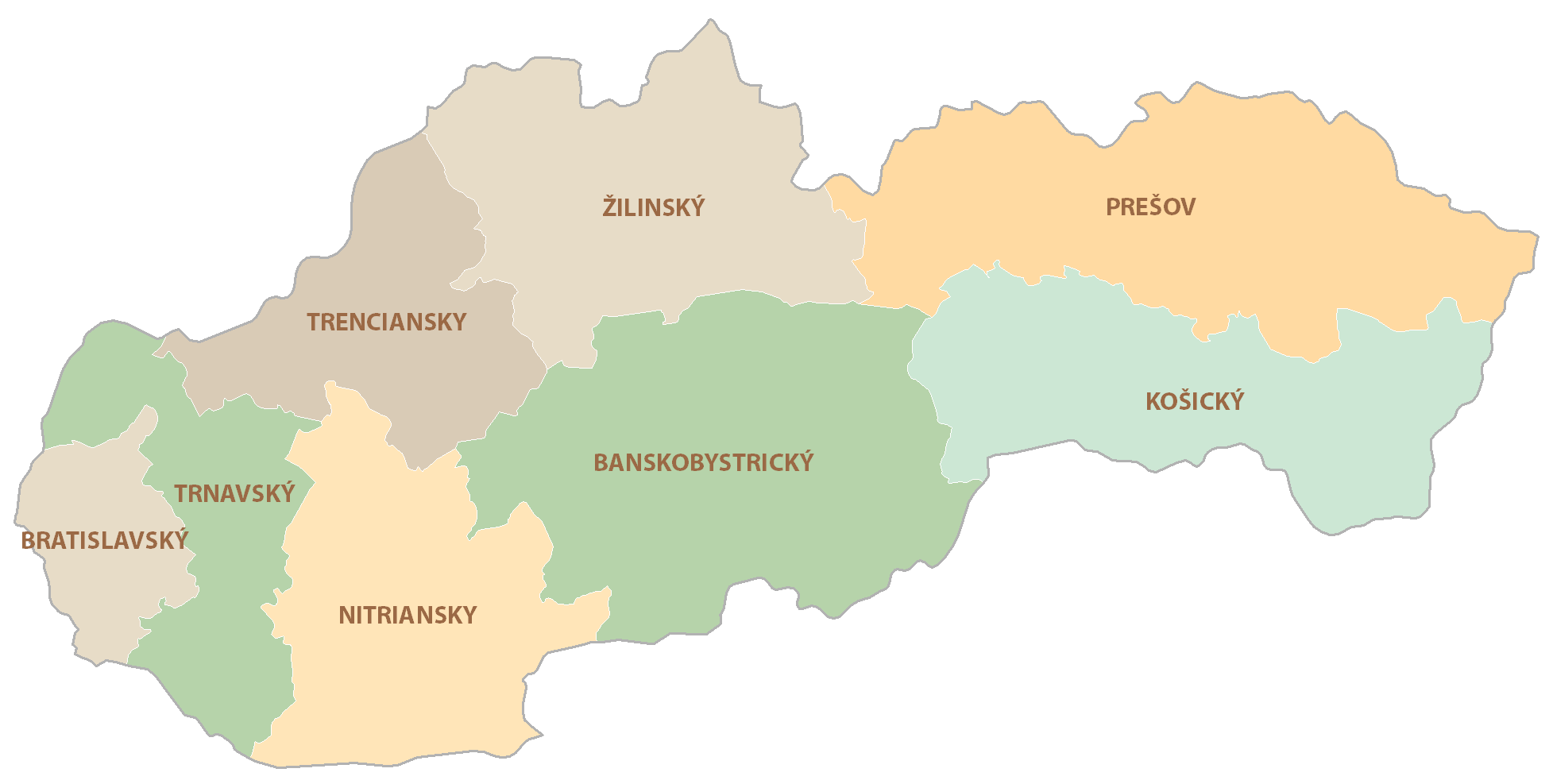
Slovakia (officially, the Slovak Republic) is divided into 8 regions (kraje, sing. kraj). In alphabetical order, these regions are: Banskobystricky (Banska Bystrica), Bratislavsky (Bratislava), Kosicky (Kosice), Nitriansky (Nitra), Presovsky (Presov), Trenciansky (Trencin), Trnavsky (Trnava) and Zilinsky (Zilina). The regions (kraj) are further subdivided into 79 districts (okresy).
Located in the south western part of the country, Bratislava is the national capital and the largest city of Slovakia. Its strategic location at the borders of Austria and Hungary makes it the only national capital that borders two other sovereign Nations. Bratislava is the cultural, administrative and economic center of Slovakia. Kosice is the 2nd largest city of Slovakia.
Location Maps
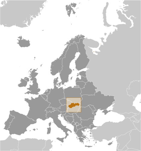
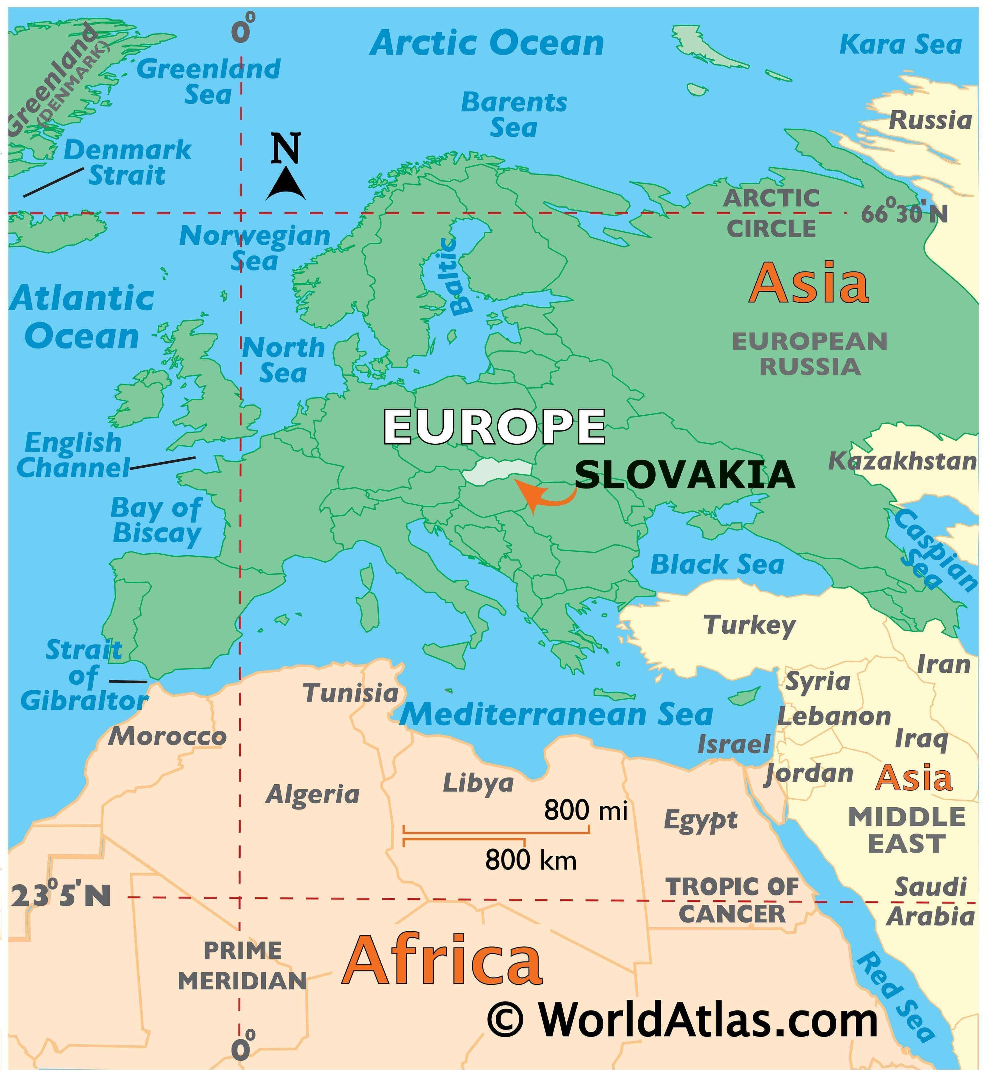
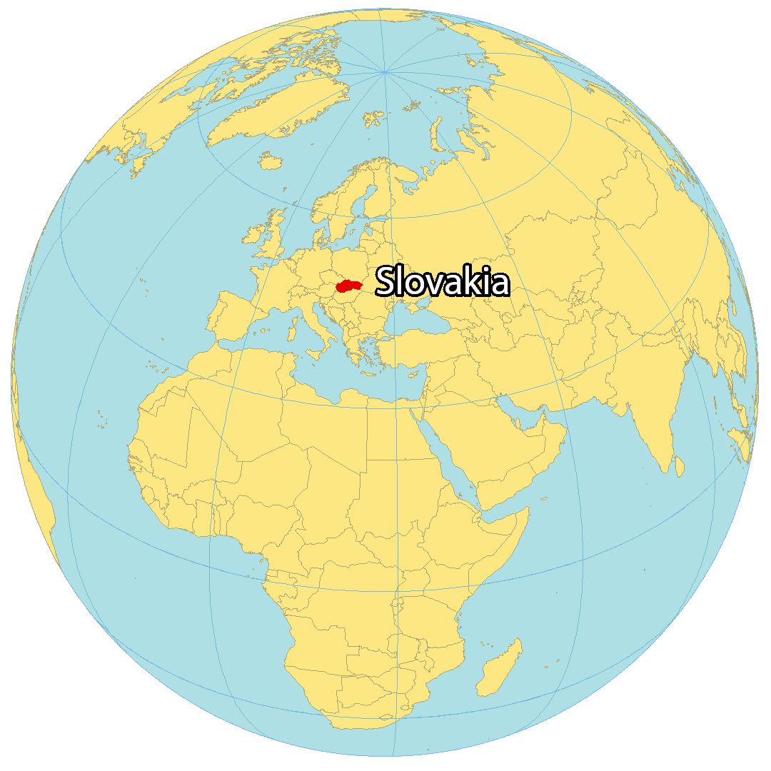
Where is Slovakia?
Slovakia is a landlocked country located in Central Europe. It borders five European countries, including Poland to the north, the Czech Republic to the northwest, Austria to the west, Hungary to the south, and Ukraine to the east. Bratislava is the capital and largest city of Slovakia, which separated from the Czech Republic to form its own country in 1993. The country is known for its caves and mountains, and also has the highest concentration of castles of any other country in the world. The geography of Slovakia is diverse, with the Carpathian Mountains running through the north of the country and the Danube River flowing through the capital city.
High Definition Political Map of Slovakia
Slovakia Administrative Map
Physical Map of Slovakia

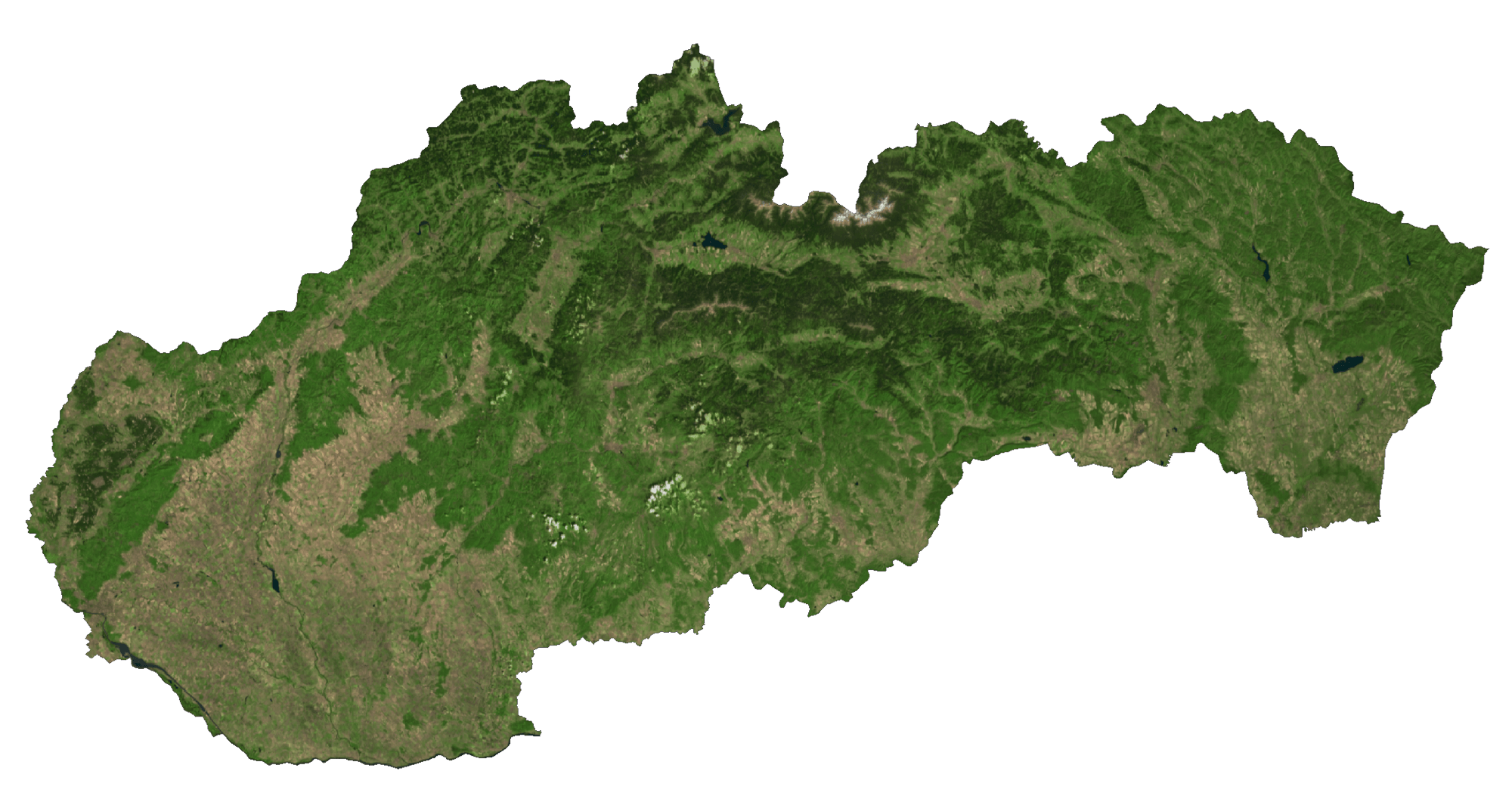
Slovakia Satellite Map
Elevation Map