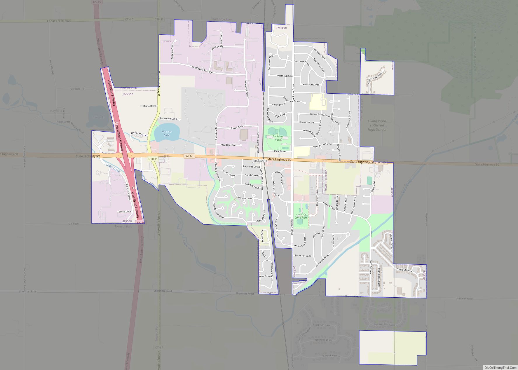
Jackson is a village in Washington County, Wisconsin, United States. The population was 7,185 at the 2020 census. The village is adjacent to the Town of Jackson.
| Name: | Jackson village |
|---|---|
| LSAD Code: | 47 |
| LSAD Description: | village (suffix) |
| State: | Wisconsin |
| County: | Washington County |
| Incorporated: | March 14, 1912; 111 years ago (March 14, 1912) |
| Total Area: | 3.40 sq mi (8.81 km²) |
| Land Area: | 3.38 sq mi (8.75 km²) |
| Water Area: | 0.02 sq mi (0.05 km²) |
| Total Population: | 7,185 |
| Population Density: | 2,130.18/sq mi (822.50/km²) |
| Area code: | 262 |
| FIPS code: | 5537675 |
| GNISfeature ID: | 1583443 |
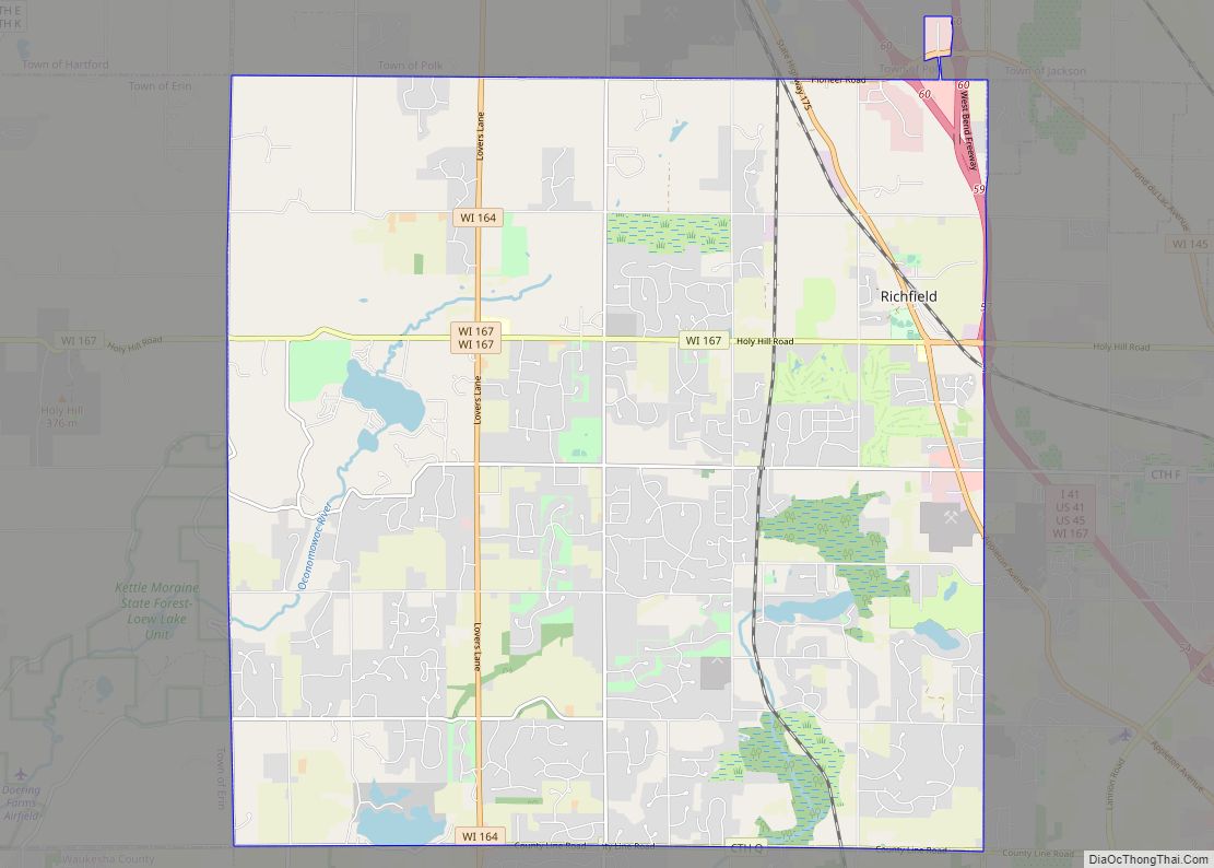
Online Interactive Map
Click on ![]() to view map in "full screen" mode.
to view map in "full screen" mode.
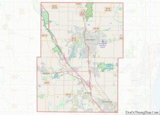
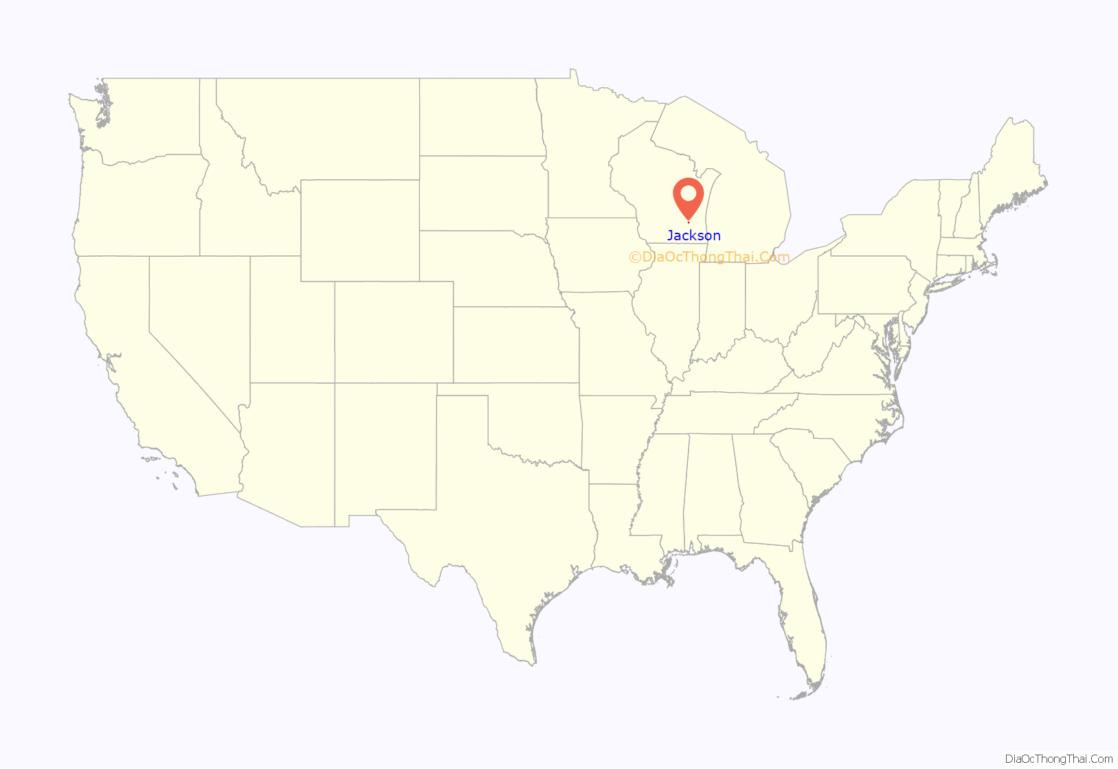
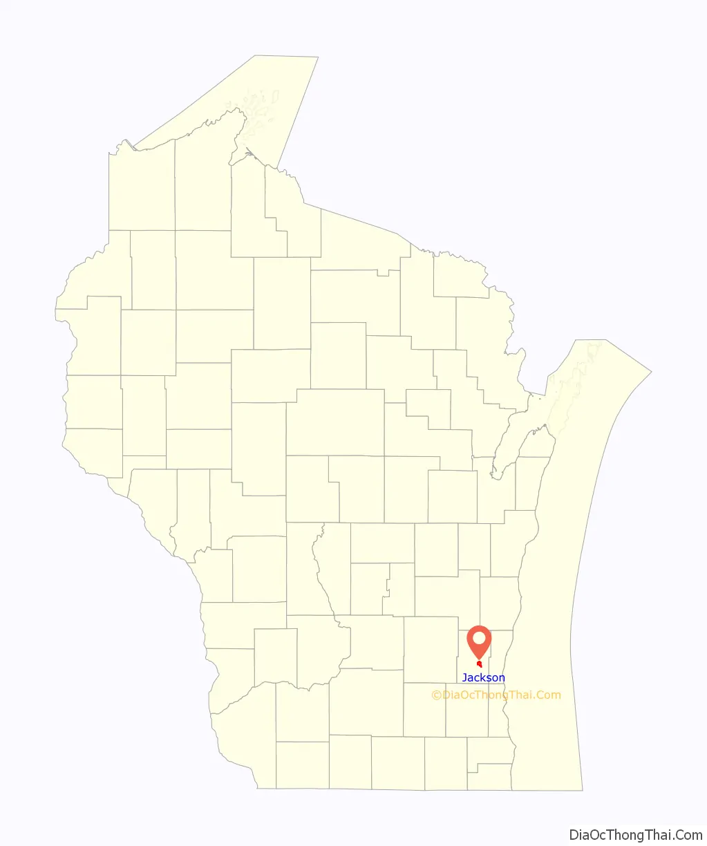
Jackson location map. Where is Jackson village?
History
The first white settlers arrived in the Jackson area in 1843. The Wisconsin territorial legislature created the Town of Jackson on January 21, 1846, naming the settlement for former-president Andrew Jackson, who had died several months earlier.
The settlement that would become the Village of Jackson was originally known as Riceville, after an English misspelling of town founder Franz Reis’s name. In its early years, the settlement’s economy relied heavily on agricultural, and including dairy farming. Some of the earliest businesses in the community were cheese factories and creameries.
In 1872, the Chicago and North Western Railway built a line from Milwaukee to Fond du Lac with a station in Riceville. Reis capitalized on the new source of transportation by building a general store, a grain elevator, and a saloon. Other entrepreneurs followed suit, and a village began to take shape around the railway station.
Riceville incorporated as the Village of Jackson on March 14, 1912.
The village population remained between 300 and 500 people in the early to mid-20th century, before experiencing a population boom in the early 1970s. Between 1970 and 1975, the population more than tripled from 561 to 1,895. As the population continued to grow, the village annexed land from the Town of Jackson for new residential subdivisions and commercial developments. The annexations created tax losses for the town. In 1999, the town and the village created an agreement setting the village’s maximum potential boundaries and outlining how the town would be compensated for future annexations. Jackson was the first community in Wisconsin to create such an agreement.
On July 17, 2012, a petroleum product pipeline spilled an estimated 54,600 gallons of gasoline in the Town of Jackson. Thirty-seven private wells contaminated by the spill were ordered abandoned by the Wisconsin Department of Natural Resources. The West Shore Pipe Line Company, which owned the pipeline, paid the costs to extend water services from the Village of Jackson to a large part of the Town of Jackson.
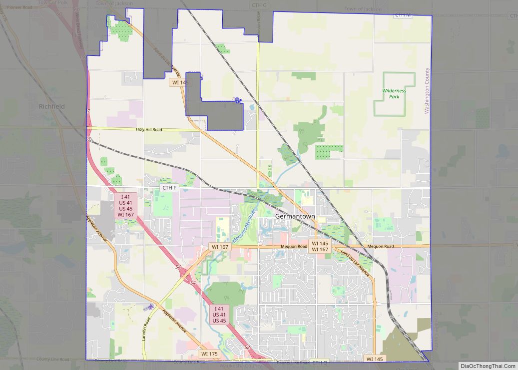
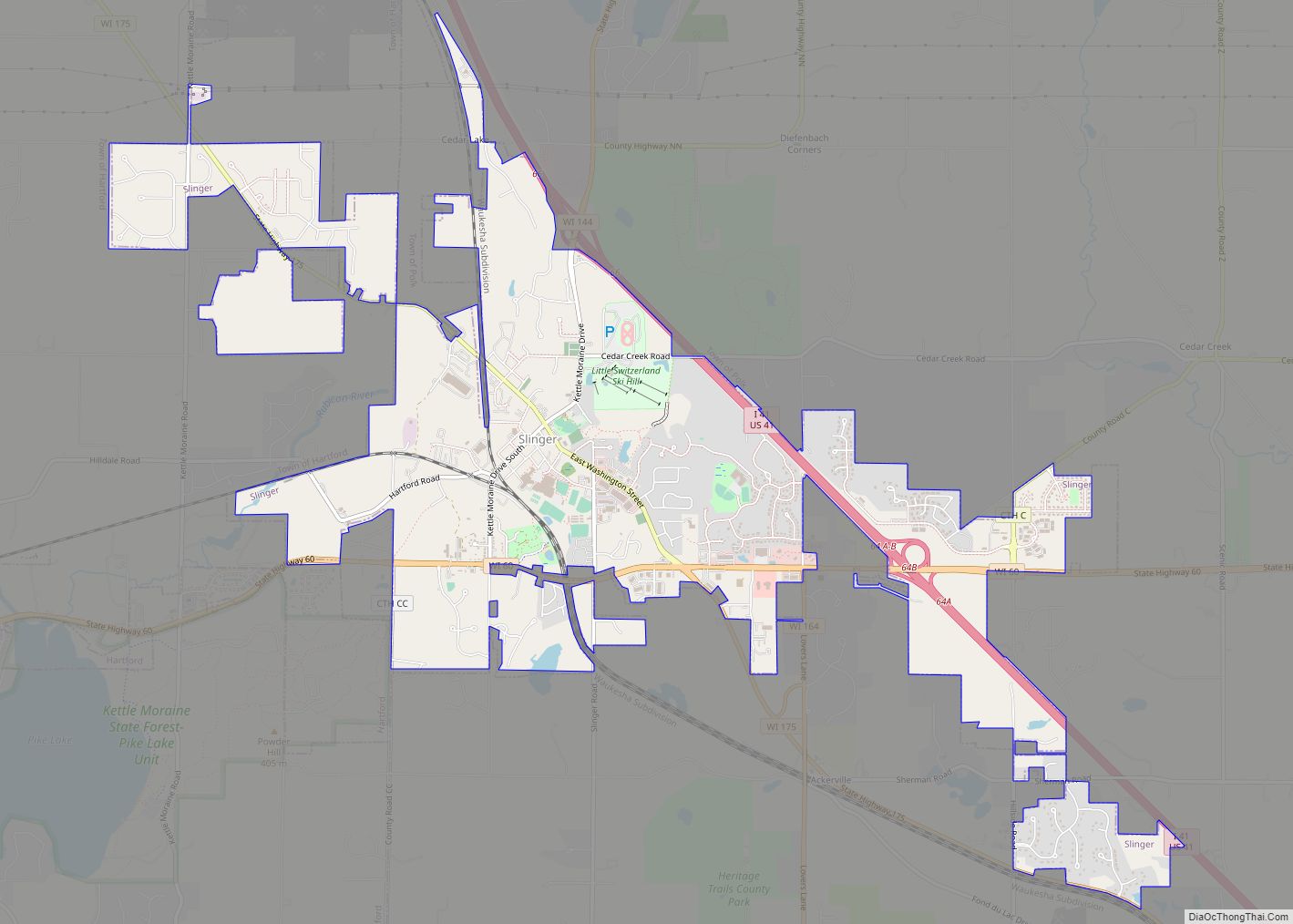
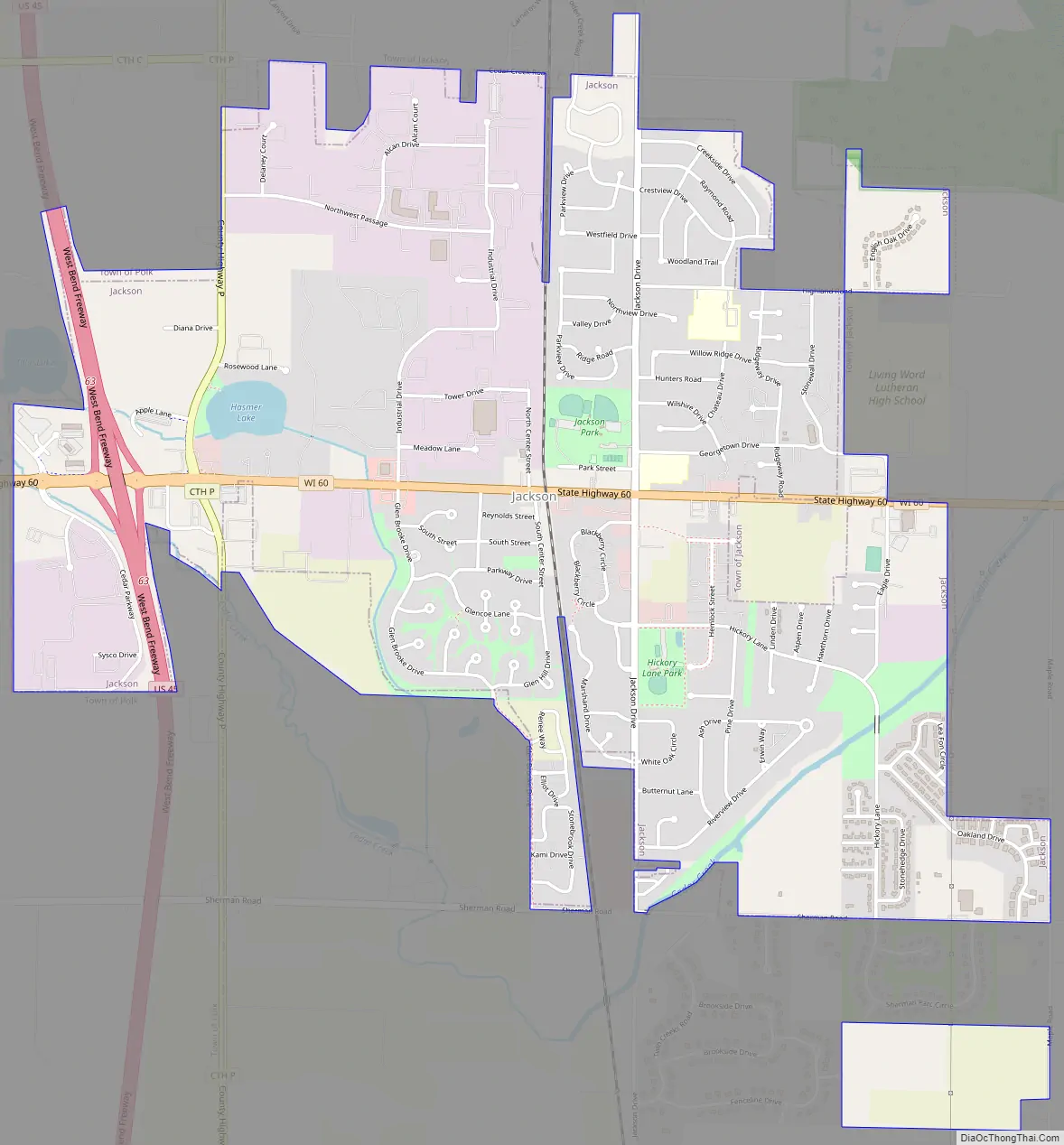
Jackson Road Map
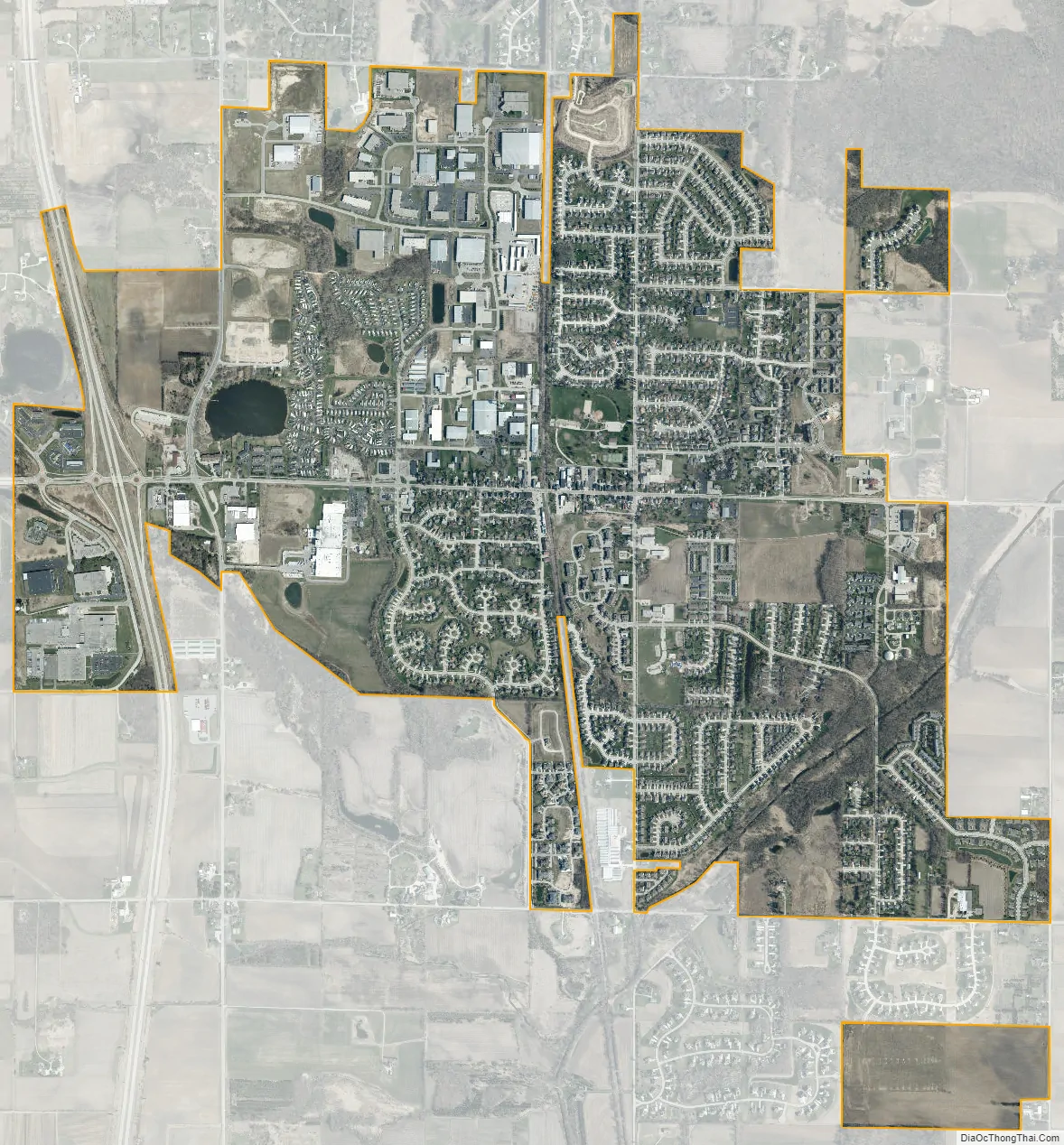
Jackson city Satellite Map
Geography
Cedar Creek, a tributary of the Milwaukee River runs also through the southeastern part of the Village of Jackson. Hasmer Lake is located on the west side of the village, near U.S. Route 45. The 2,312-acre Jackson Marsh Wildlife Area, which is maintained by the Wisconsin Department of Natural Resources, is located in the Town of Jackson, near the village’s eastern boundary.
Jackson is located at 43°19′23″N 88°10′16″W / 43.32306°N 88.17111°W / 43.32306; -88.17111 (43.323188, -88.171273). According to the United States Census Bureau, the village has a total area of 3.07 square miles (7.95 km), of which, 3.05 square miles (7.90 km) of it is land and 0.02 square miles (0.05 km) is water.
See also
Map of Wisconsin State and its subdivision:- Adams
- Ashland
- Barron
- Bayfield
- Brown
- Buffalo
- Burnett
- Calumet
- Chippewa
- Clark
- Columbia
- Crawford
- Dane
- Dodge
- Door
- Douglas
- Dunn
- Eau Claire
- Florence
- Fond du Lac
- Forest
- Grant
- Green
- Green Lake
- Iowa
- Iron
- Jackson
- Jefferson
- Juneau
- Kenosha
- Kewaunee
- La Crosse
- Lafayette
- Lake Michigan
- Lake Superior
- Langlade
- Lincoln
- Manitowoc
- Marathon
- Marinette
- Marquette
- Menominee
- Milwaukee
- Monroe
- Oconto
- Oneida
- Outagamie
- Ozaukee
- Pepin
- Pierce
- Polk
- Portage
- Price
- Racine
- Richland
- Rock
- Rusk
- Saint Croix
- Sauk
- Sawyer
- Shawano
- Sheboygan
- Taylor
- Trempealeau
- Vernon
- Vilas
- Walworth
- Washburn
- Washington
- Waukesha
- Waupaca
- Waushara
- Winnebago
- Wood
- Alabama
- Alaska
- Arizona
- Arkansas
- California
- Colorado
- Connecticut
- Delaware
- District of Columbia
- Florida
- Georgia
- Hawaii
- Idaho
- Illinois
- Indiana
- Iowa
- Kansas
- Kentucky
- Louisiana
- Maine
- Maryland
- Massachusetts
- Michigan
- Minnesota
- Mississippi
- Missouri
- Montana
- Nebraska
- Nevada
- New Hampshire
- New Jersey
- New Mexico
- New York
- North Carolina
- North Dakota
- Ohio
- Oklahoma
- Oregon
- Pennsylvania
- Rhode Island
- South Carolina
- South Dakota
- Tennessee
- Texas
- Utah
- Vermont
- Virginia
- Washington
- West Virginia
- Wisconsin
- Wyoming