Menomonee Falls is a village in Waukesha County, Wisconsin, United States, and is part of the Greater Milwaukee area. The population was 38,527 at the 2020 census, making it the most populous village in Wisconsin. It is the fourth largest community in Waukesha County.
| Name: | Menomonee Falls village |
|---|---|
| LSAD Code: | 47 |
| LSAD Description: | village (suffix) |
| State: | Wisconsin |
| County: | Waukesha County |
| Elevation: | 868 ft (261 m) |
| Total Area: | 33.30 sq mi (86.25 km²) |
| Land Area: | 32.91 sq mi (85.23 km²) |
| Water Area: | 0.39 sq mi (1.02 km²) |
| Total Population: | 38,527 |
| Population Density: | 1,155.12/sq mi (446.00/km²) |
| Area code: | 262 |
| FIPS code: | 5551000 |
| GNISfeature ID: | 1569346 |
| Website: | menomonee-falls.org |
Online Interactive Map
Click on ![]() to view map in "full screen" mode.
to view map in "full screen" mode.
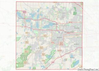
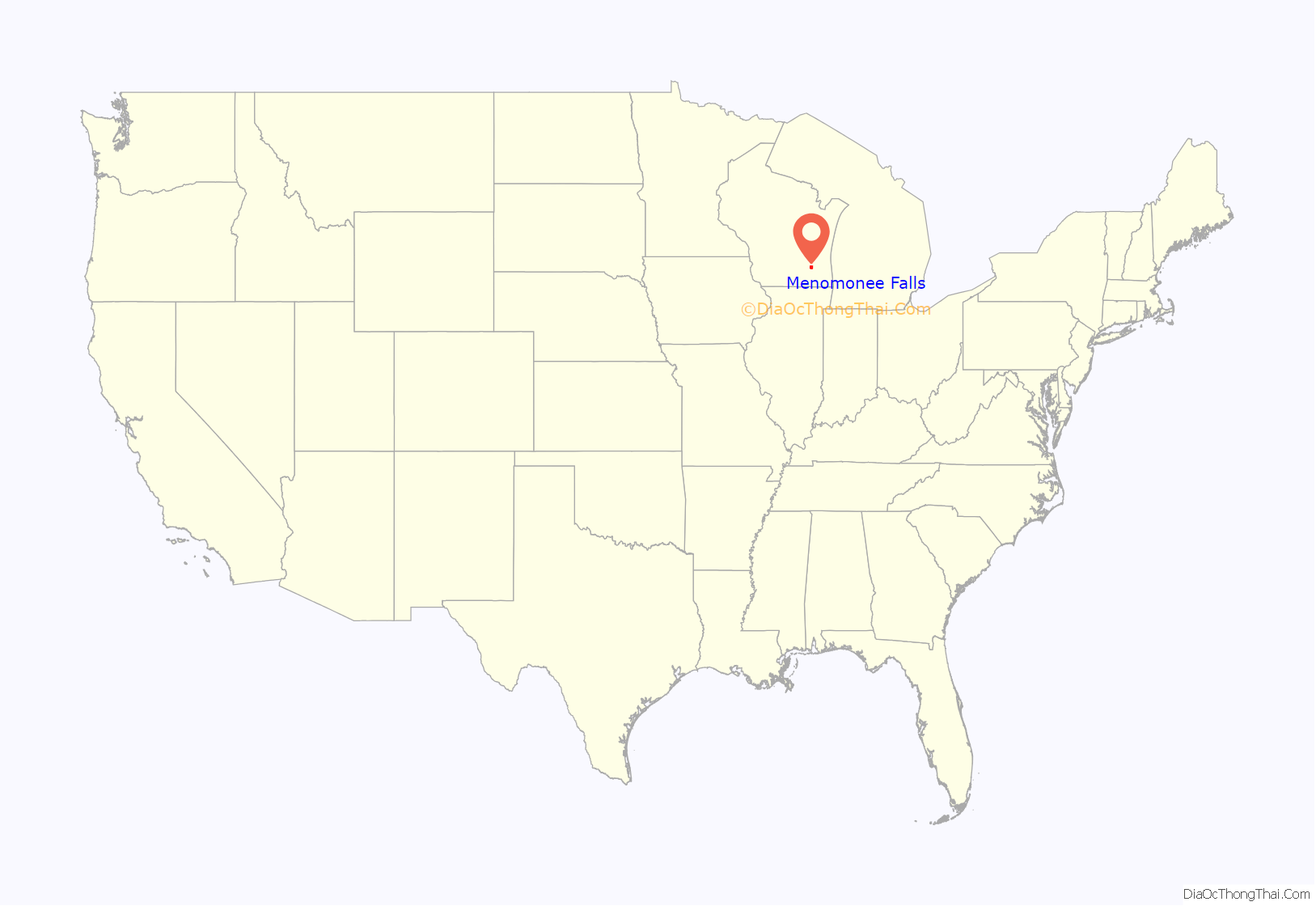
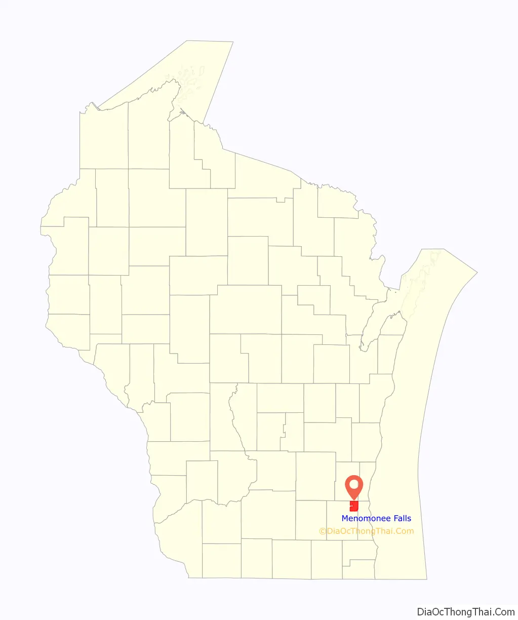
Menomonee Falls location map. Where is Menomonee Falls village?
History
Early 1800s
The area that became Menomonee Falls was first inhabited by Native Americans, including the people of the Menominee and Chippewa tribes. The town of Menomonee was created in December 1839.
Late 1800s
The Menomonee Falls area continued to grow throughout the 1870s. By 1890, the population of the area was 2,480. In 1892, a section of the town of Menomonee was incorporated as the village of Menomonee Falls. In 1894 the first village board was elected and the first village fire department formed. After becoming a village, many important buildings were built, including the village hall/fire station, Menomonee Falls High School, and the Wisconsin Sugar Factory. The Wisconsin Sugar Factory employed as many as 500 laborers and produced up to 15 million pounds of sugar annually.
Early 1900s
The first public telephone service was offered in 1902; a local electricity plant offered a substitute for kerosene lamps by 1907; water mains were installed in the 1910s; and the first sewer lines were laid in 1924. New neighborhoods were developed and the Menomonee Falls Public Library was built. The village’s second bank, the Farmers and Merchants Bank, was established in 1908 by attorney Samuel A. Connell. By 1910, automobiles started being sold in the village, which led to an increase in paved roads. By 1919, Highway 15 connected Menomonee Falls to Milwaukee and Illinois and, by 1922, to Green Bay.
In the early 20th century, a new municipal building was built to house village offices, the fire department, the police department, and a new Menomonee Falls Public Library. A subdivision named Hiawatha Heights added 58 single-family homes with 95% of the home buyers relocating from Milwaukee. By 1940, the population had come to 3,674. Along with all of this, the building of shopping areas had begun, including the Hiawatha Shopping Center, which today can be seen along Appleton Avenue, with Krueger’s Entertainment and Pop’s Custard as the main attractions.
Mid-1900s
In the 1950s, more subdivisions were built, and US 41 was completed. This increased the attractiveness of Menomonee Falls as there was now an easy commute to Milwaukee jobs. In 1958, the village of Menomonee Falls annexed the remainder of the Town of Menomonee, which increased the total area from 2 square miles to 32 square miles and the population from 4,500 to 12,000.
In the 1960s, the school district built six new schools because of population growth in the baby boom era. In 1965, a can manufacturing plant with a capacity of 150 million cans per year was established in the village, owned by Containers, Inc., a joint venture of the Miller Brewing Company and Carnation Company. “By the end of the 1960s, 48 percent of the population in the Village was 19 years old or under.” Both a better park system and better public services were developed. Several full-time police officers were hired, along with full-time firefighters. Shopping centers were developed and major employers established in the village, including Harley-Davidson and Wacker Neuson. Old structures were razed to make way for several new streets.
Late 1900s
Near the end of the 20th century, Menomonee Falls continued to grow in population. Between 1990 and 2010, the population had grown by almost 9,000. New subdivisions and apartments were built in the community. Reports in 2016 state, “As of 2016, the Village had an estimated 36,907 residents and had become an important economic hub of Greater Milwaukee area.” Major business developments include Kohl’s Corporate campus and the Westbrook Corporate Center. A new village hall/municipal center was built and a new Library.
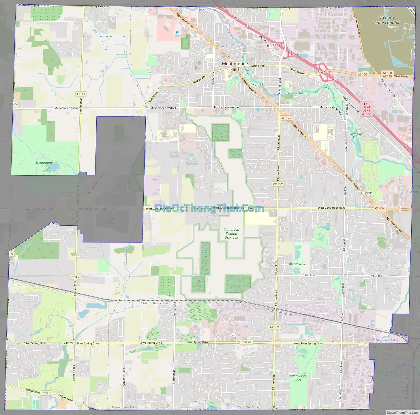
Menomonee Falls Road Map
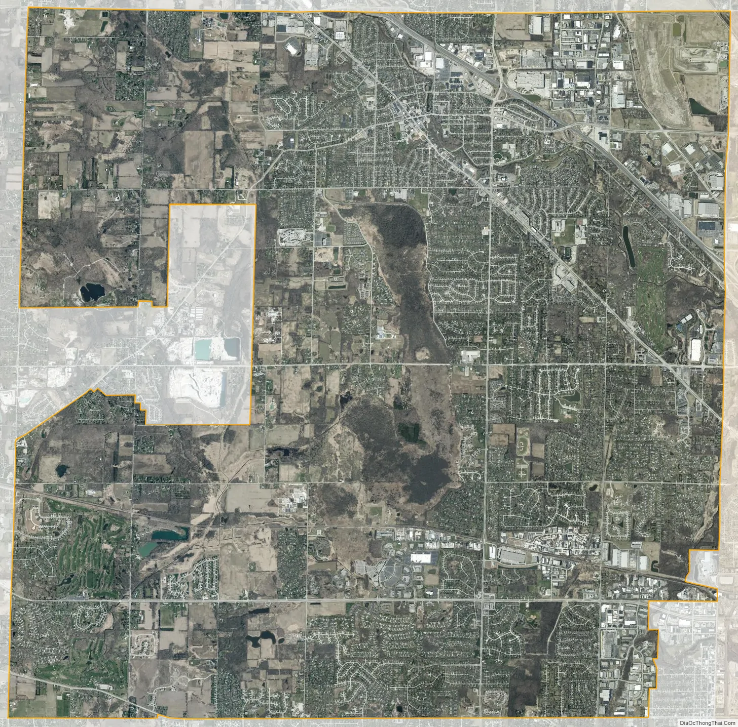
Menomonee Falls city Satellite Map
Geography
According to the United States Census Bureau, the village has a total area of 33.31 square miles (86.27 km), of which, 32.92 square miles (85.26 km) of it is land and 0.39 square miles (1.01 km) is water.
Neighborhoods
Fussville is a neighborhood of Menomonee Falls located at 43°09′06″N 88°04′40″W / 43.15167°N 88.07778°W / 43.15167; -88.07778 (Fussville). Fussville was once a separate unincorporated community; it was annexed by Menomonee Falls sometime between 1950 and 1960.
See also
Map of Wisconsin State and its subdivision:- Adams
- Ashland
- Barron
- Bayfield
- Brown
- Buffalo
- Burnett
- Calumet
- Chippewa
- Clark
- Columbia
- Crawford
- Dane
- Dodge
- Door
- Douglas
- Dunn
- Eau Claire
- Florence
- Fond du Lac
- Forest
- Grant
- Green
- Green Lake
- Iowa
- Iron
- Jackson
- Jefferson
- Juneau
- Kenosha
- Kewaunee
- La Crosse
- Lafayette
- Lake Michigan
- Lake Superior
- Langlade
- Lincoln
- Manitowoc
- Marathon
- Marinette
- Marquette
- Menominee
- Milwaukee
- Monroe
- Oconto
- Oneida
- Outagamie
- Ozaukee
- Pepin
- Pierce
- Polk
- Portage
- Price
- Racine
- Richland
- Rock
- Rusk
- Saint Croix
- Sauk
- Sawyer
- Shawano
- Sheboygan
- Taylor
- Trempealeau
- Vernon
- Vilas
- Walworth
- Washburn
- Washington
- Waukesha
- Waupaca
- Waushara
- Winnebago
- Wood
- Alabama
- Alaska
- Arizona
- Arkansas
- California
- Colorado
- Connecticut
- Delaware
- District of Columbia
- Florida
- Georgia
- Hawaii
- Idaho
- Illinois
- Indiana
- Iowa
- Kansas
- Kentucky
- Louisiana
- Maine
- Maryland
- Massachusetts
- Michigan
- Minnesota
- Mississippi
- Missouri
- Montana
- Nebraska
- Nevada
- New Hampshire
- New Jersey
- New Mexico
- New York
- North Carolina
- North Dakota
- Ohio
- Oklahoma
- Oregon
- Pennsylvania
- Rhode Island
- South Carolina
- South Dakota
- Tennessee
- Texas
- Utah
- Vermont
- Virginia
- Washington
- West Virginia
- Wisconsin
- Wyoming