Mosinee is a city in Marathon County, Wisconsin. It is part of the Wausau, Wisconsin Metropolitan Statistical Area. The population was 4,452 at the time of the 2020 census.
| Name: | Mosinee city |
|---|---|
| LSAD Code: | 25 |
| LSAD Description: | city (suffix) |
| State: | Wisconsin |
| County: | Marathon County |
| Total Area: | 7.21 sq mi (22.59 km²) |
| Land Area: | 7.86 sq mi (20.35 km²) |
| Water Area: | 0.87 sq mi (2.24 km²) |
| Total Population: | 4,452 |
| Population Density: | 518.33/sq mi (200.13/km²) |
| ZIP code: | 54455 |
| Area code: | 715 & 534 |
| FIPS code: | 5554500 |
| Website: | mosinee.wi.us |
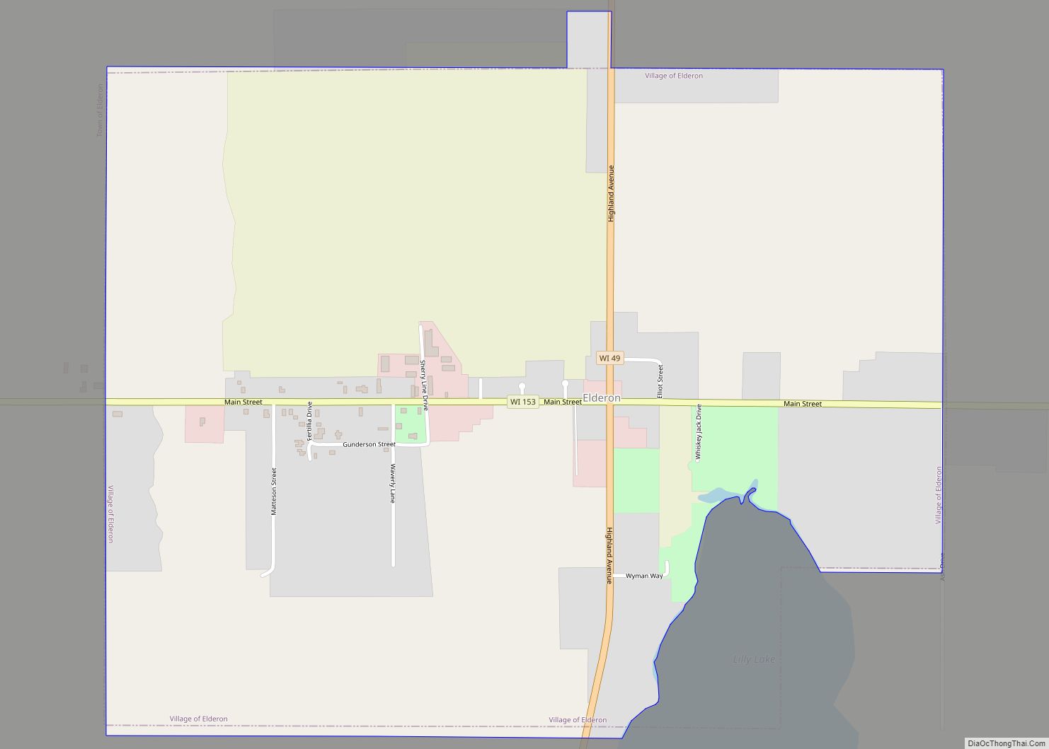
Online Interactive Map
Click on ![]() to view map in "full screen" mode.
to view map in "full screen" mode.
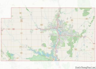
Mosinee location map. Where is Mosinee city?


History
Early history
The traditional inhabitants of the area were the Ojibwe, the Potawatomi and the Menominee. However, the name is the Hochunk Mōsį́nį, the “Cold Country,” from mō, an old form of mą, meaning “earth, ground, land, country”; and sį́nį, “cold.” The Ojibwe ceded the territory to the United States in 1837 when they sold most of their land in what would become Wisconsin, though they were guaranteed the right to continue hunting, fishing, and gathering wild rice on the ceded lands. Similarly, the Potawatomi gave up their land claims in Wisconsin in 1833, and the Menominee ceded territory in this area in the 1836 Treaty of the Cedars. These treaties coincided with the establishment of the first sawmill in the area by a white settler, John L. Moore, in 1836, and enabled white settlement to begin in the area. Lumber quickly became the most important industry and drew other businesses and settlers to the town, which at the time was known as Little Bull Falls. After the closing of Fort Winnebago in 1845, a number of Métis families moved to Little Bull Falls, and in 1857 the town was renamed in honor of an Ojibwe chief from the Wisconsin River Band. Deforestation led to the collapse of the lumber industry in the early 20th century, but it was quickly replaced by the paper industry. In the neighboring Menominee language the town is called Mōsāpnīw, “he dwells alone there”, which is likely a close approximation of the eponymous chief’s name.
Mock Communist invasion
On May 1, 1950, local residents acting as Communist invaders seized control of Mosinee.
The action was a part of an elaborate pageant organized by the Wisconsin Department of the American Legion. The “Communists” dragged Mayor Ralph E. Kronenwetter and Police Chief Carl Gewiss out of their beds. Mayor Kronenwetter surrendered at 10:15 AM in the town’s new “Red Square” with a pistol to his back. The police chief was reported to have resisted and was “liquidated”.
Roadblocks were set up around Mosinee, the library was “purged”, prices of goods were inflated for the duration of the coup, and local restaurants served Russian black bread and potato soup for lunch.
As he arrived at a rally to restore democracy to the community the night of May 1 Mayor Kronenwetter suffered a cerebral hemorrhage and never regained consciousness. He died five days later on May 6, 1950 at age 49. The mayor’s doctor said the excitement and exertion probably contributed to his collapse.
Franklin Baker, commander of the local American Legion post, said, “It was a terrible coincidence.”
Local minister Will La Brew Bennett, 72, who, during the Communist invasion, demonstrated to the media how he would hide his Bible in the church organ if the Communists really invaded and was herded with other residents into a barbed-wire ringed “concentration camp” near “Red Square”, was found dead in his bed hours after the mayor’s death on May 7, 1950.
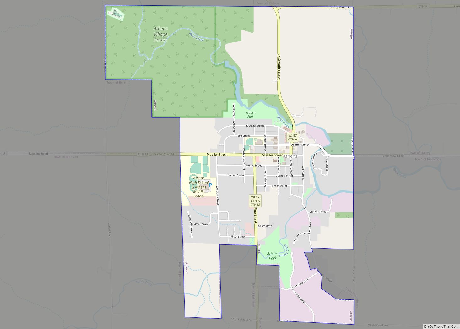
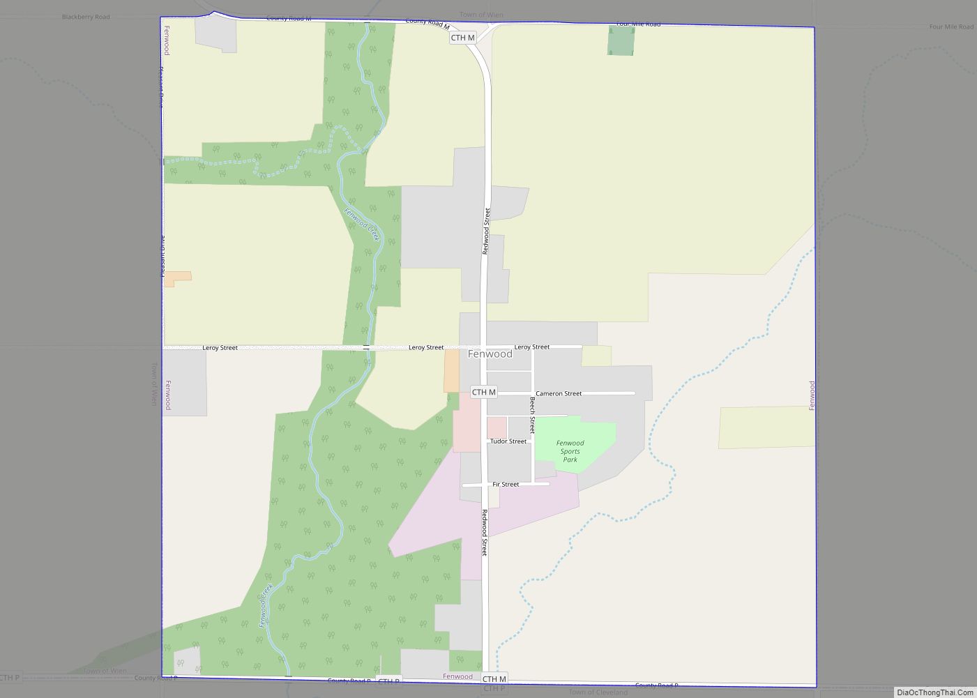
Mosinee Road Map

Mosinee city Satellite Map

Geography
Mosinee is located at 44°47’30” North, 89°42’19” West (44.791709, −89.705301).
According to the United States Census Bureau, the city has a total area of 8.54 square miles (22.12 km), of which, 7.77 square miles (20.12 km) is land and 0.77 square miles (1.99 km) is water.
See also
Map of Wisconsin State and its subdivision:- Adams
- Ashland
- Barron
- Bayfield
- Brown
- Buffalo
- Burnett
- Calumet
- Chippewa
- Clark
- Columbia
- Crawford
- Dane
- Dodge
- Door
- Douglas
- Dunn
- Eau Claire
- Florence
- Fond du Lac
- Forest
- Grant
- Green
- Green Lake
- Iowa
- Iron
- Jackson
- Jefferson
- Juneau
- Kenosha
- Kewaunee
- La Crosse
- Lafayette
- Lake Michigan
- Lake Superior
- Langlade
- Lincoln
- Manitowoc
- Marathon
- Marinette
- Marquette
- Menominee
- Milwaukee
- Monroe
- Oconto
- Oneida
- Outagamie
- Ozaukee
- Pepin
- Pierce
- Polk
- Portage
- Price
- Racine
- Richland
- Rock
- Rusk
- Saint Croix
- Sauk
- Sawyer
- Shawano
- Sheboygan
- Taylor
- Trempealeau
- Vernon
- Vilas
- Walworth
- Washburn
- Washington
- Waukesha
- Waupaca
- Waushara
- Winnebago
- Wood
- Alabama
- Alaska
- Arizona
- Arkansas
- California
- Colorado
- Connecticut
- Delaware
- District of Columbia
- Florida
- Georgia
- Hawaii
- Idaho
- Illinois
- Indiana
- Iowa
- Kansas
- Kentucky
- Louisiana
- Maine
- Maryland
- Massachusetts
- Michigan
- Minnesota
- Mississippi
- Missouri
- Montana
- Nebraska
- Nevada
- New Hampshire
- New Jersey
- New Mexico
- New York
- North Carolina
- North Dakota
- Ohio
- Oklahoma
- Oregon
- Pennsylvania
- Rhode Island
- South Carolina
- South Dakota
- Tennessee
- Texas
- Utah
- Vermont
- Virginia
- Washington
- West Virginia
- Wisconsin
- Wyoming