Two Rivers is a city in Manitowoc County, Wisconsin, United States. The population was 11,712 at the 2010 census. It is the birthplace of the ice cream sundae (though other cities, such as Ithaca, New York, make the same claim). The city’s advertising slogan is “Catch our friendly waves” as it is located along Lake Michigan.
| Name: | Two Rivers city |
|---|---|
| LSAD Code: | 25 |
| LSAD Description: | city (suffix) |
| State: | Wisconsin |
| County: | Manitowoc County |
| Total Area: | 6.49 sq mi (16.82 km²) |
| Land Area: | 6.04 sq mi (15.66 km²) |
| Water Area: | 0.45 sq mi (1.17 km²) |
| Total Population: | 11,712 |
| Population Density: | 1,826.77/sq mi (705.26/km²) |
| ZIP code: | 54241 |
| Area code: | 920 |
| FIPS code: | 5581325 |
| Website: | www.two-rivers.org |
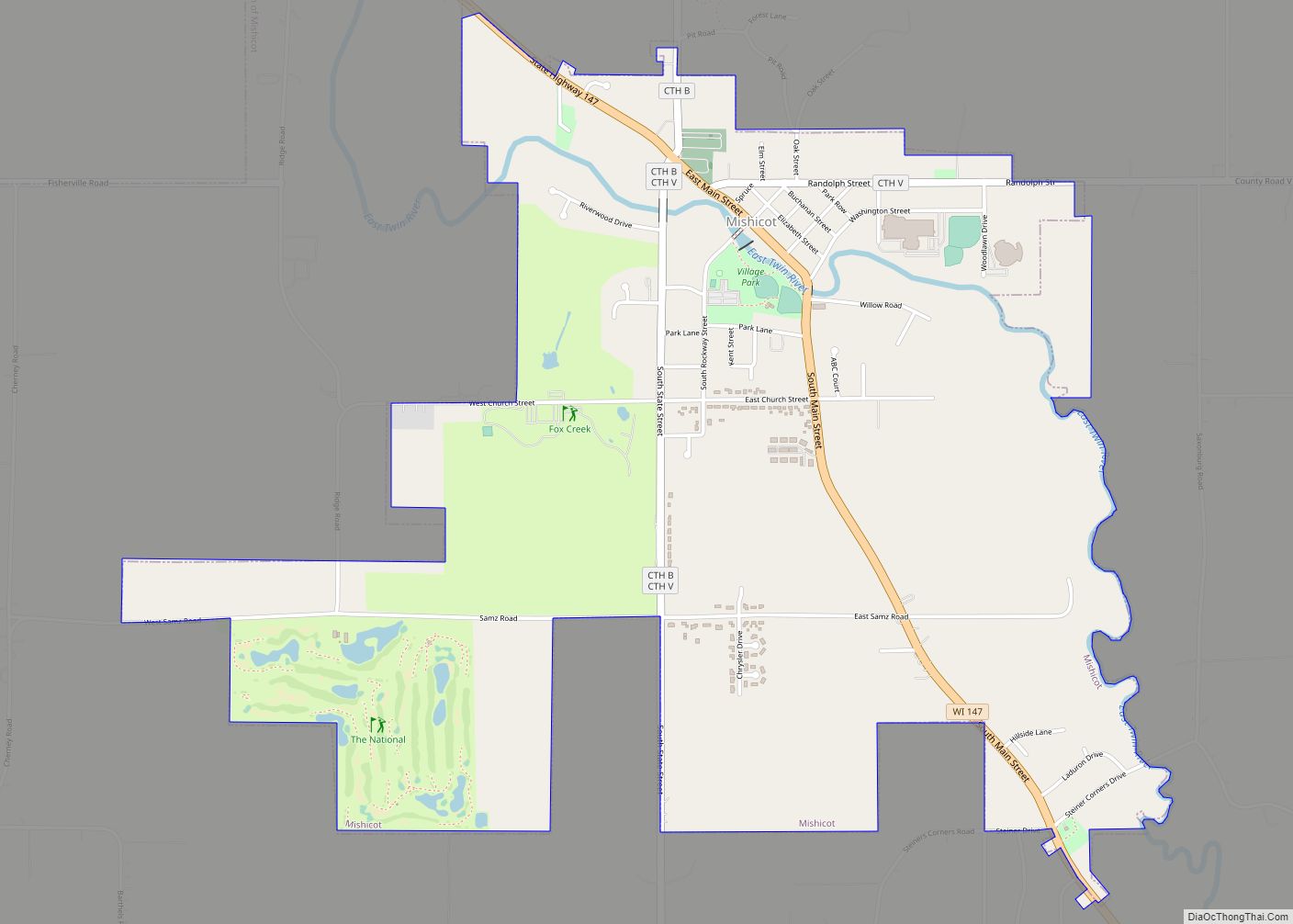
Online Interactive Map
Click on ![]() to view map in "full screen" mode.
to view map in "full screen" mode.
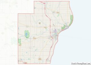
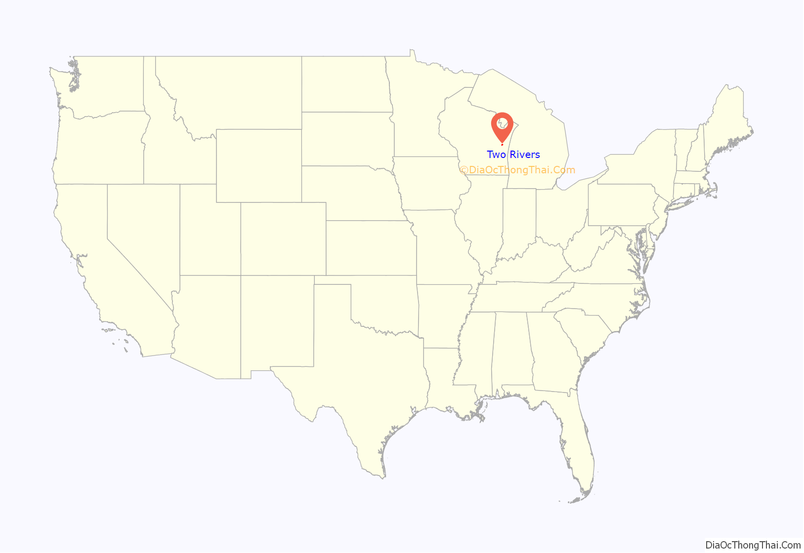
Two Rivers location map. Where is Two Rivers city?
History
A post office called Two Rivers has been in operation since 1848. The city was named from its location at the confluence of the Mishicot and Neshota rivers, now known as the East Twin and West Twin Rivers, respectively.
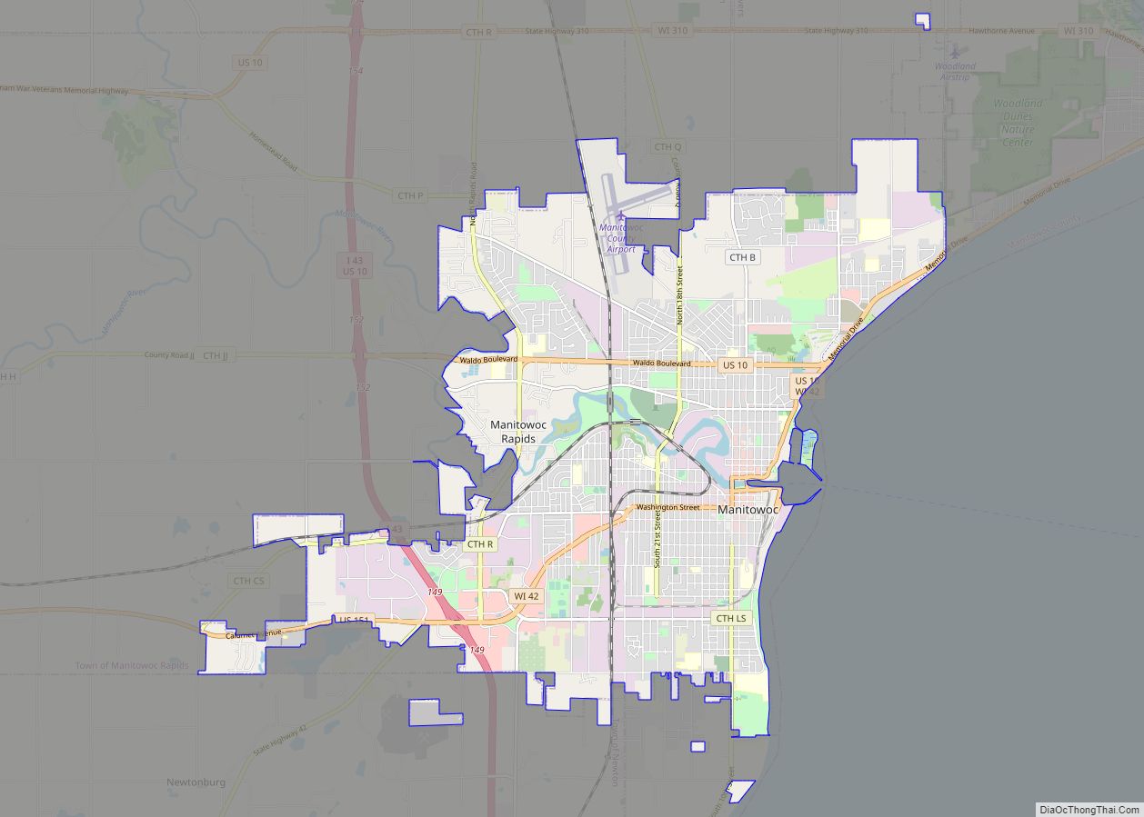
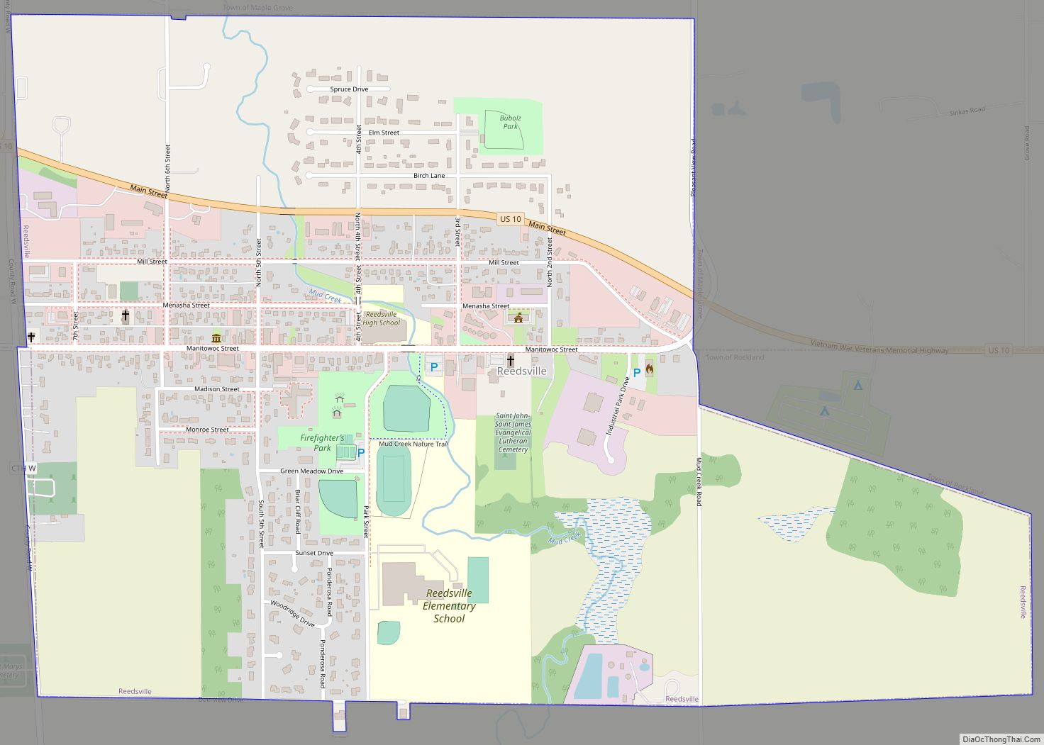
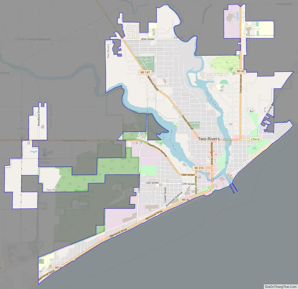
Two Rivers Road Map
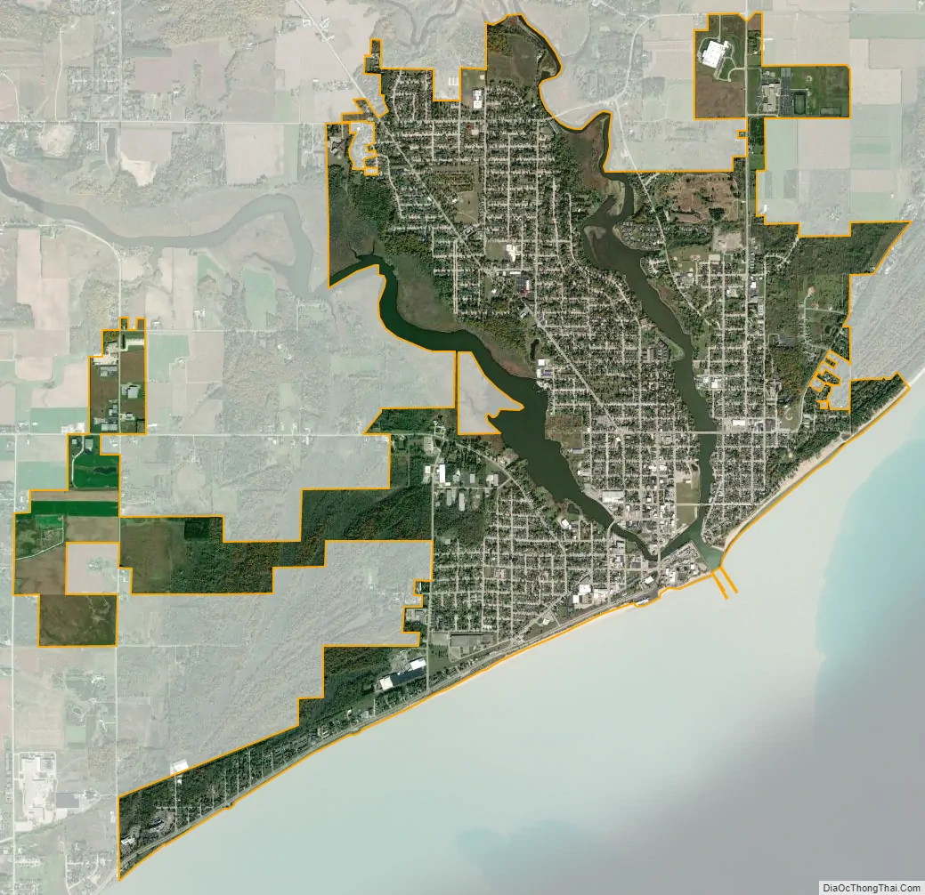
Two Rivers city Satellite Map
Geography
Two Rivers derives its name from the East Twin River and the West Twin River which meet in the city less than a mile from their outflows at Lake Michigan. Two Rivers is located at 44°9′17″N 87°34′35″W / 44.15472°N 87.57639°W / 44.15472; -87.57639 (44.154928, −87.57642).
According to the United States Census Bureau, the city has a total area of 6.49 square miles (16.81 km), of which, 6.09 square miles (15.77 km) is land and 0.40 square miles (1.04 km) is water.
Highways
- WIS 42 Northbound travels to Kewaunee and Sturgeon Bay. South it continues into Manitowoc.
- WIS 147 connects with Mishicot and Green Bay via I-43 northbound.
- WIS 310 connects with US 10 and I-43 towards Appleton westbound.
Climate
Two Rivers, Wisconsin lies within the humid continental climate zone, modified by its close proximity to Lake Michigan. This gives the city more moderate temperatures and lesser extremes compared to its inland counterparts. The lake influence also gives Two Rivers a greater seasonal lag than places farther away from the lakeshore, with warmer Septembers and cooler Marches than the rest of the state; for instance, September, with a mean temperature of 60 °F (16 °C) is only 1 degree Fahrenheit cooler than June’s 61 °F (16 °C), whereas Oshkosh, Wisconsin, a few tens of miles inland at a similar latitude, has a September that is 8 degrees Fahrenheit cooler than June.
The Köppen classification for the town is Dfb, often described as a cool summer humid continental climate, characterized by the coldest month’s mean being below −3 °C (27 °F), the persistent snowpack line, and with 4 or more months above 10 °C (50 °F), but no month above 22 °C (72 °F).
See also
Map of Wisconsin State and its subdivision:- Adams
- Ashland
- Barron
- Bayfield
- Brown
- Buffalo
- Burnett
- Calumet
- Chippewa
- Clark
- Columbia
- Crawford
- Dane
- Dodge
- Door
- Douglas
- Dunn
- Eau Claire
- Florence
- Fond du Lac
- Forest
- Grant
- Green
- Green Lake
- Iowa
- Iron
- Jackson
- Jefferson
- Juneau
- Kenosha
- Kewaunee
- La Crosse
- Lafayette
- Lake Michigan
- Lake Superior
- Langlade
- Lincoln
- Manitowoc
- Marathon
- Marinette
- Marquette
- Menominee
- Milwaukee
- Monroe
- Oconto
- Oneida
- Outagamie
- Ozaukee
- Pepin
- Pierce
- Polk
- Portage
- Price
- Racine
- Richland
- Rock
- Rusk
- Saint Croix
- Sauk
- Sawyer
- Shawano
- Sheboygan
- Taylor
- Trempealeau
- Vernon
- Vilas
- Walworth
- Washburn
- Washington
- Waukesha
- Waupaca
- Waushara
- Winnebago
- Wood
- Alabama
- Alaska
- Arizona
- Arkansas
- California
- Colorado
- Connecticut
- Delaware
- District of Columbia
- Florida
- Georgia
- Hawaii
- Idaho
- Illinois
- Indiana
- Iowa
- Kansas
- Kentucky
- Louisiana
- Maine
- Maryland
- Massachusetts
- Michigan
- Minnesota
- Mississippi
- Missouri
- Montana
- Nebraska
- Nevada
- New Hampshire
- New Jersey
- New Mexico
- New York
- North Carolina
- North Dakota
- Ohio
- Oklahoma
- Oregon
- Pennsylvania
- Rhode Island
- South Carolina
- South Dakota
- Tennessee
- Texas
- Utah
- Vermont
- Virginia
- Washington
- West Virginia
- Wisconsin
- Wyoming