Babbie is a town in Covington County, Alabama, United States. At the 2020 census, the population was 625. It incorporated in 1957.
| Name: | Babbie town |
|---|---|
| LSAD Code: | 43 |
| LSAD Description: | town (suffix) |
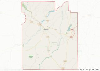
| State: | Alabama |
| County: | Covington County |
| Elevation: | 259 ft (79 m) |
| Total Area: | 11.59 sq mi (30.01 km²) |
| Land Area: | 11.47 sq mi (29.71 km²) |
| Water Area: | 0.12 sq mi (0.30 km²) |
| Total Population: | 625 |
| Population Density: | 54.49/sq mi (21.04/km²) |
| FIPS code: | 0103556 |
| GNISfeature ID: | 0113321 |
Online Interactive Map
Click on ![]() to view map in "full screen" mode.
to view map in "full screen" mode.
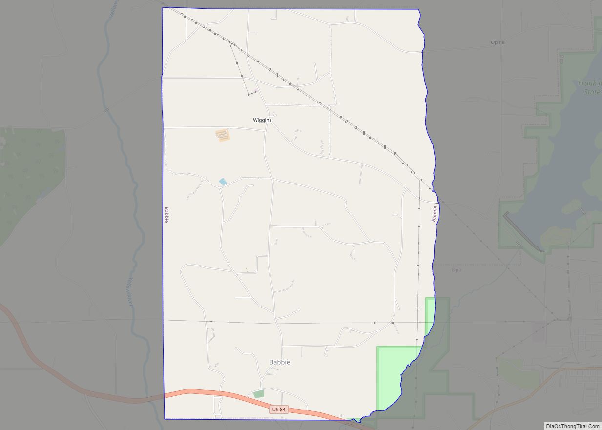
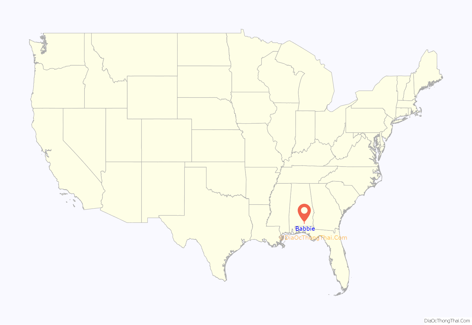
Babbie location map. Where is Babbie town?
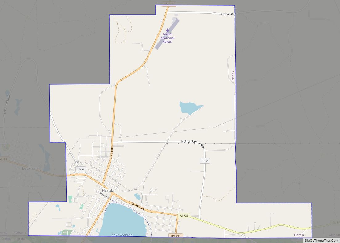
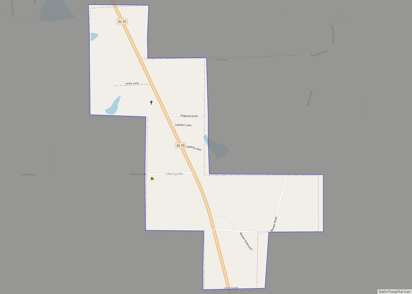
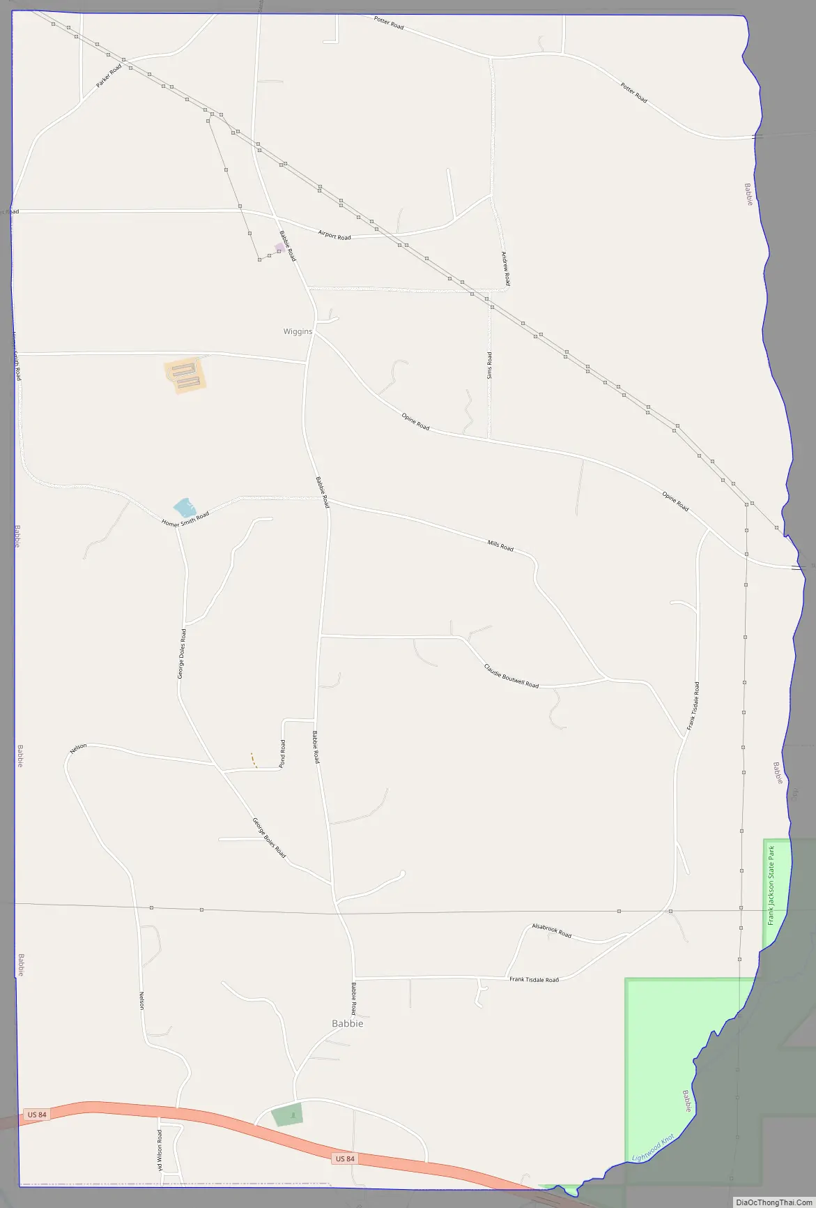
Babbie Road Map
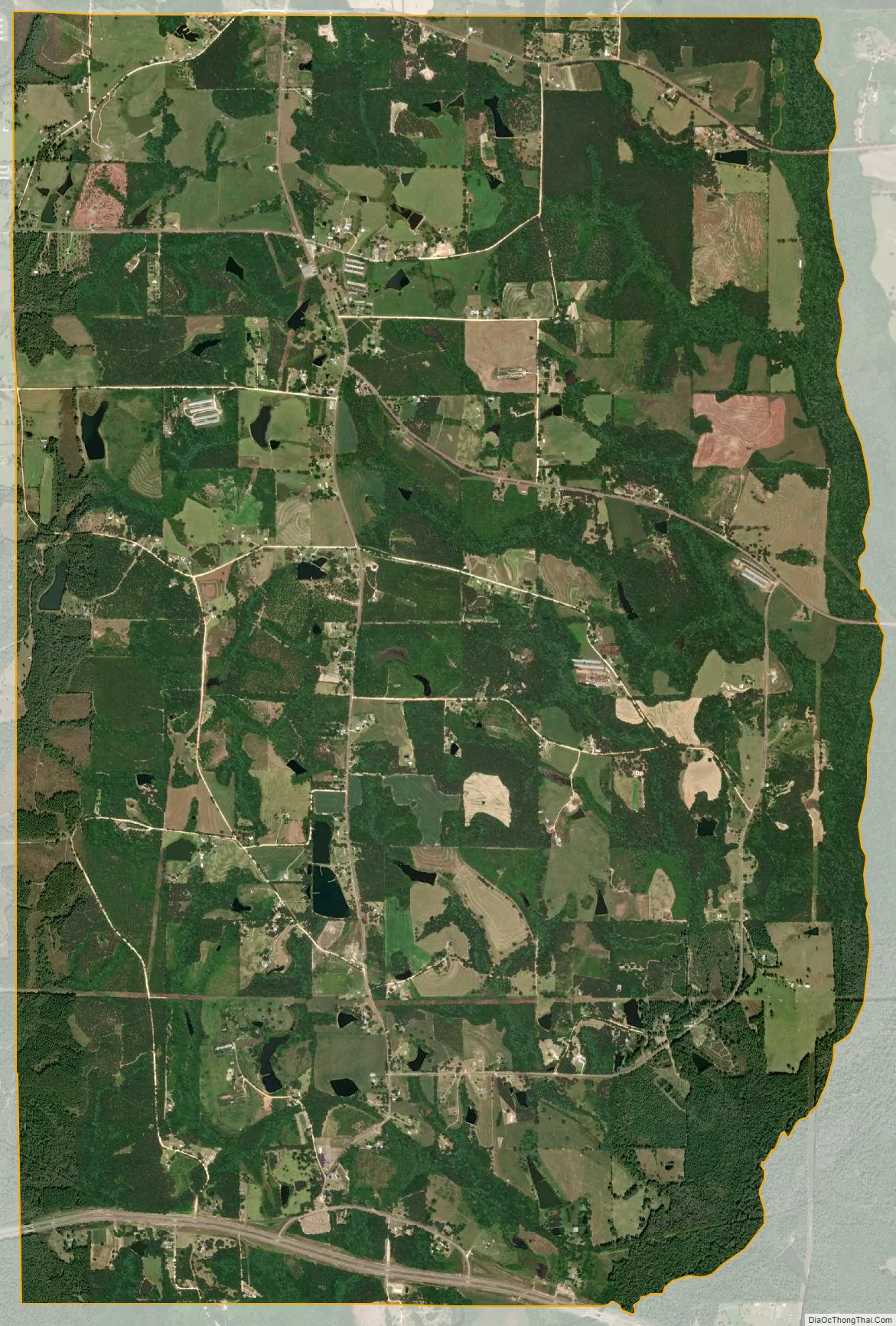
Babbie city Satellite Map
Geography
Babbie is located in eastern Covington County at 31°18′2″N 86°19′9″W / 31.30056°N 86.31917°W / 31.30056; -86.31917 (31.300460, -86.319293). It is bordered to the east by the city of Opp.
According to the U.S. Census Bureau, the town has a total area of 11.6 square miles (30.0 km), of which 11.5 square miles (29.7 km) is land and 0.12 square miles (0.3 km), or 1.01%, is water.
See also
Map of Alabama State and its subdivision:- Autauga
- Baldwin
- Barbour
- Bibb
- Blount
- Bullock
- Butler
- Calhoun
- Chambers
- Cherokee
- Chilton
- Choctaw
- Clarke
- Clay
- Cleburne
- Coffee
- Colbert
- Conecuh
- Coosa
- Covington
- Crenshaw
- Cullman
- Dale
- Dallas
- De Kalb
- Elmore
- Escambia
- Etowah
- Fayette
- Franklin
- Geneva
- Greene
- Hale
- Henry
- Houston
- Jackson
- Jefferson
- Lamar
- Lauderdale
- Lawrence
- Lee
- Limestone
- Lowndes
- Macon
- Madison
- Marengo
- Marion
- Marshall
- Mobile
- Monroe
- Montgomery
- Morgan
- Perry
- Pickens
- Pike
- Randolph
- Russell
- Saint Clair
- Shelby
- Sumter
- Talladega
- Tallapoosa
- Tuscaloosa
- Walker
- Washington
- Wilcox
- Winston
- Alabama
- Alaska
- Arizona
- Arkansas
- California
- Colorado
- Connecticut
- Delaware
- District of Columbia
- Florida
- Georgia
- Hawaii
- Idaho
- Illinois
- Indiana
- Iowa
- Kansas
- Kentucky
- Louisiana
- Maine
- Maryland
- Massachusetts
- Michigan
- Minnesota
- Mississippi
- Missouri
- Montana
- Nebraska
- Nevada
- New Hampshire
- New Jersey
- New Mexico
- New York
- North Carolina
- North Dakota
- Ohio
- Oklahoma
- Oregon
- Pennsylvania
- Rhode Island
- South Carolina
- South Dakota
- Tennessee
- Texas
- Utah
- Vermont
- Virginia
- Washington
- West Virginia
- Wisconsin
- Wyoming