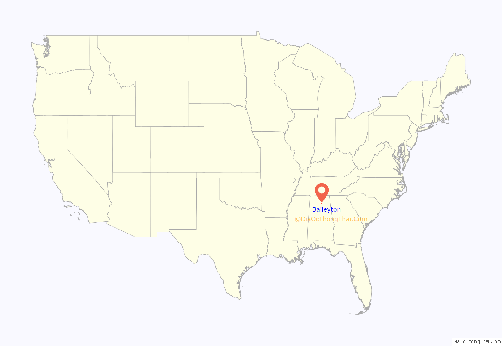
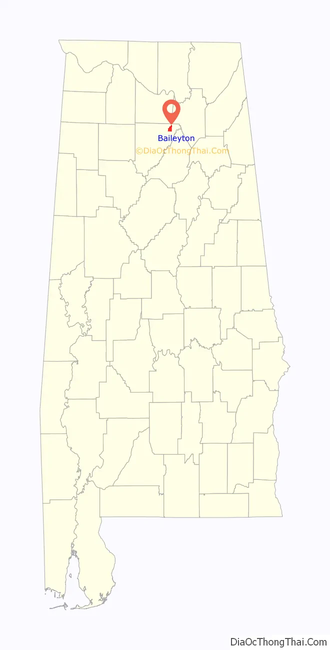
Baileyton is a town in Cullman County, Alabama, United States. At the 2020 census, the population was 649.
The town’s mayor is Johnny Dyar.
| Name: | Baileyton town |
|---|---|
| LSAD Code: | 43 |
| LSAD Description: | town (suffix) |
| State: | Alabama |
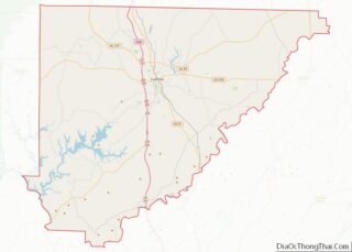
| County: | Cullman County |
| Elevation: | 984 ft (300 m) |
| Total Area: | 5.31 sq mi (13.77 km²) |
| Land Area: | 5.25 sq mi (13.61 km²) |
| Water Area: | 0.06 sq mi (0.16 km²) |
| Total Population: | 649 |
| Population Density: | 123.50/sq mi (47.68/km²) |
| ZIP code: | 35019 |
| Area code: | 256 |
| FIPS code: | 0103676 |
| GNISfeature ID: | 0113366 |
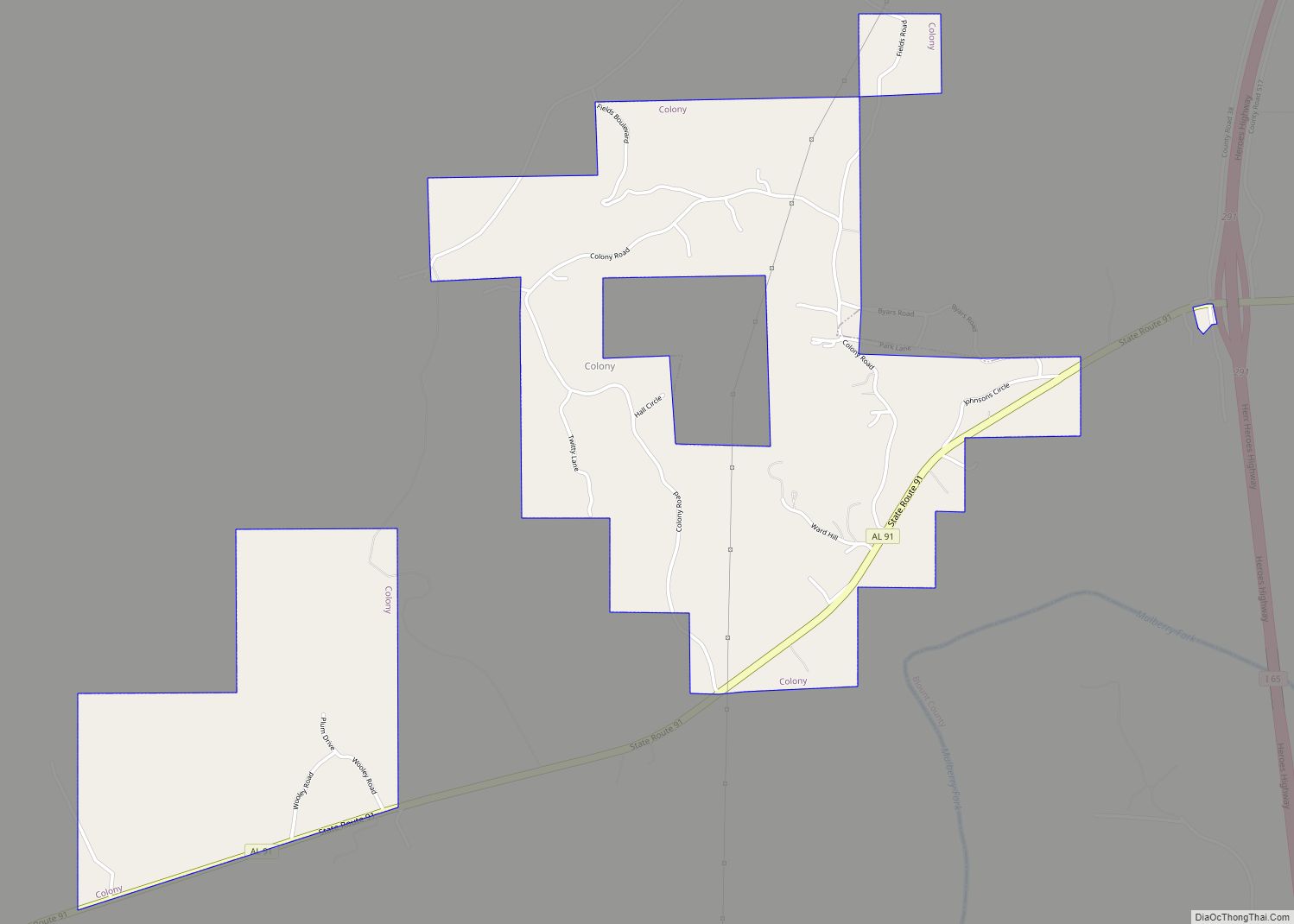
Online Interactive Map
Click on ![]() to view map in "full screen" mode.
to view map in "full screen" mode.
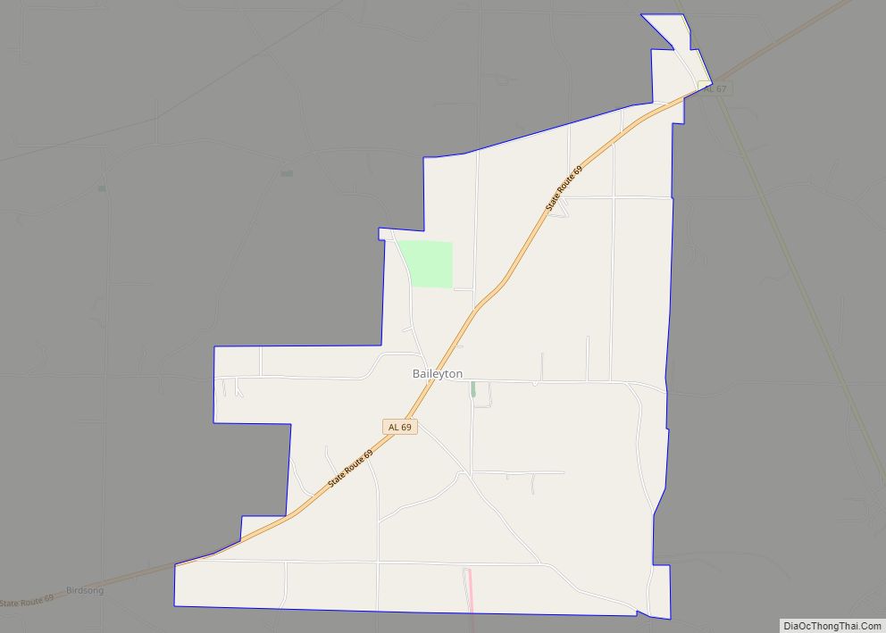
Baileyton location map. Where is Baileyton town?
History
Baileyton was settled in 1870 by Robert Bailey, a farmer from Georgia. A post office was established in Baileyton in 1883. The town was incorporated in 1973.
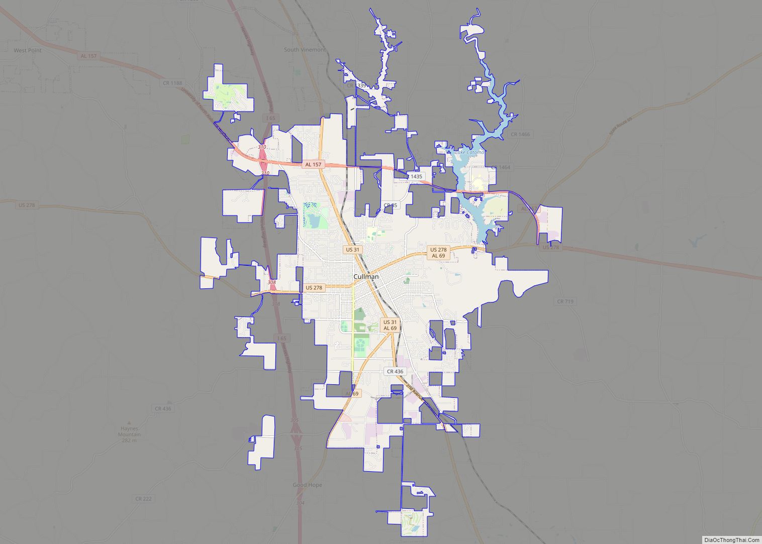
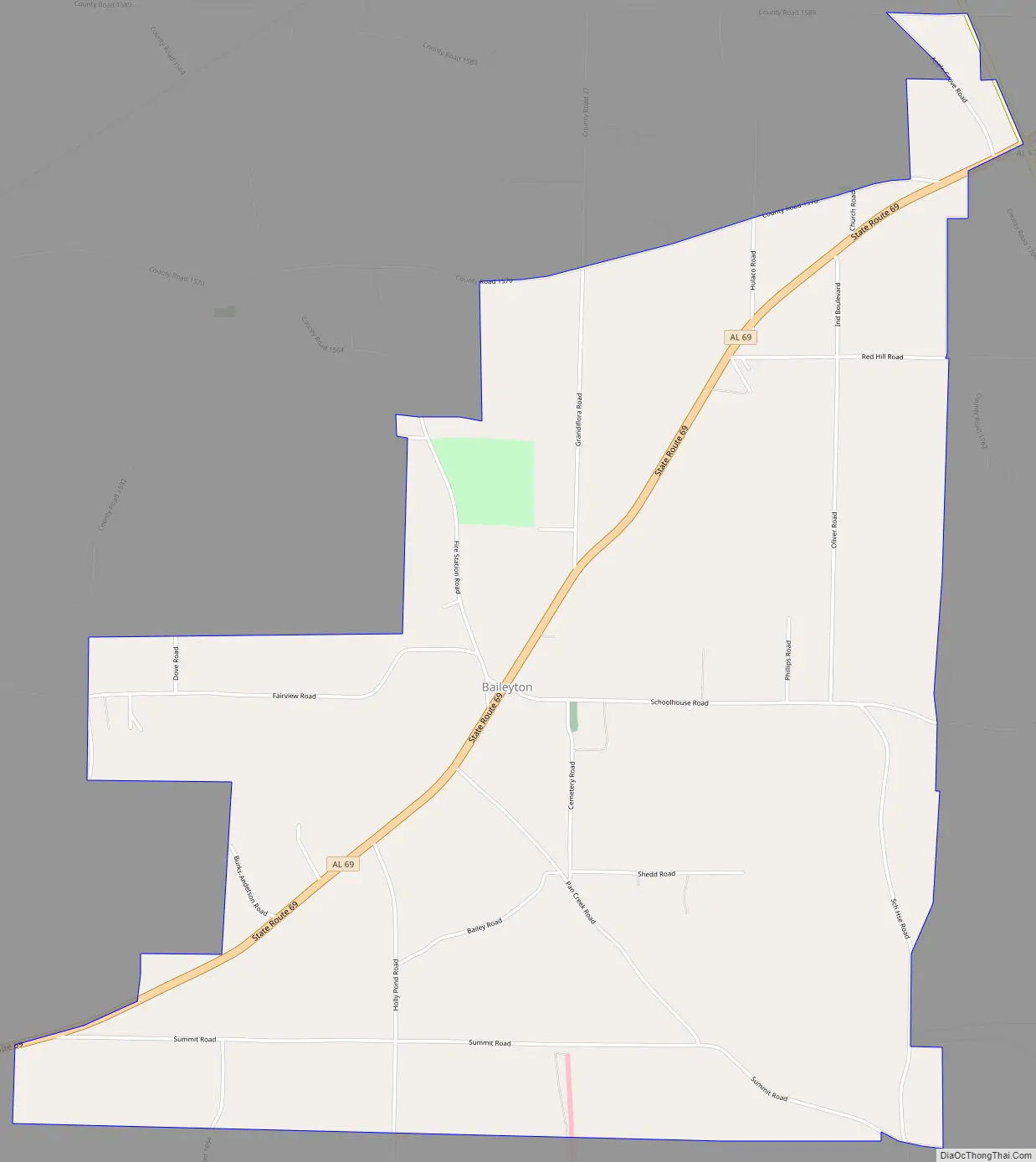
Baileyton Road Map
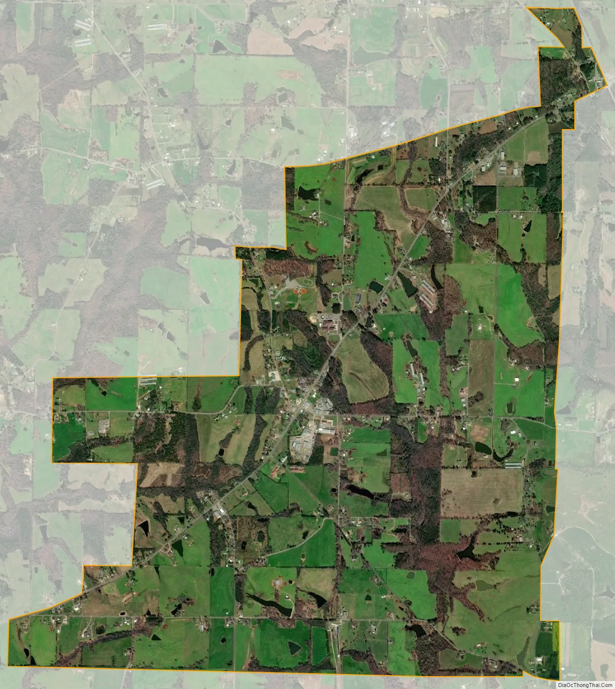
Baileyton city Satellite Map
Geography
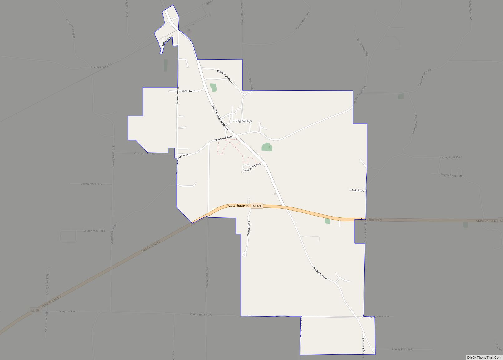
Baileyton is located in northeastern Cullman County at 34°16′2″N 86°36′11″W / 34.26722°N 86.60306°W / 34.26722; -86.60306 (34.267139, -86.603018). The town lies northeast of the city of Cullman along State Route 69, with its municipal boundary reaching northeastward to State Route 67. The town of Fairview lies just to the west along SR 69, and the Joppa community lies opposite SR 67 to the northeast.
According to the U.S. Census Bureau, the town has a total area of 5.3 square miles (13.8 km), of which 5.3 square miles (13.6 km) is land and 0.04 square miles (0.1 km), or 1.06%, is water.
See also
Map of Alabama State and its subdivision:- Autauga
- Baldwin
- Barbour
- Bibb
- Blount
- Bullock
- Butler
- Calhoun
- Chambers
- Cherokee
- Chilton
- Choctaw
- Clarke
- Clay
- Cleburne
- Coffee
- Colbert
- Conecuh
- Coosa
- Covington
- Crenshaw
- Cullman
- Dale
- Dallas
- De Kalb
- Elmore
- Escambia
- Etowah
- Fayette
- Franklin
- Geneva
- Greene
- Hale
- Henry
- Houston
- Jackson
- Jefferson
- Lamar
- Lauderdale
- Lawrence
- Lee
- Limestone
- Lowndes
- Macon
- Madison
- Marengo
- Marion
- Marshall
- Mobile
- Monroe
- Montgomery
- Morgan
- Perry
- Pickens
- Pike
- Randolph
- Russell
- Saint Clair
- Shelby
- Sumter
- Talladega
- Tallapoosa
- Tuscaloosa
- Walker
- Washington
- Wilcox
- Winston
- Alabama
- Alaska
- Arizona
- Arkansas
- California
- Colorado
- Connecticut
- Delaware
- District of Columbia
- Florida
- Georgia
- Hawaii
- Idaho
- Illinois
- Indiana
- Iowa
- Kansas
- Kentucky
- Louisiana
- Maine
- Maryland
- Massachusetts
- Michigan
- Minnesota
- Mississippi
- Missouri
- Montana
- Nebraska
- Nevada
- New Hampshire
- New Jersey
- New Mexico
- New York
- North Carolina
- North Dakota
- Ohio
- Oklahoma
- Oregon
- Pennsylvania
- Rhode Island
- South Carolina
- South Dakota
- Tennessee
- Texas
- Utah
- Vermont
- Virginia
- Washington
- West Virginia
- Wisconsin
- Wyoming