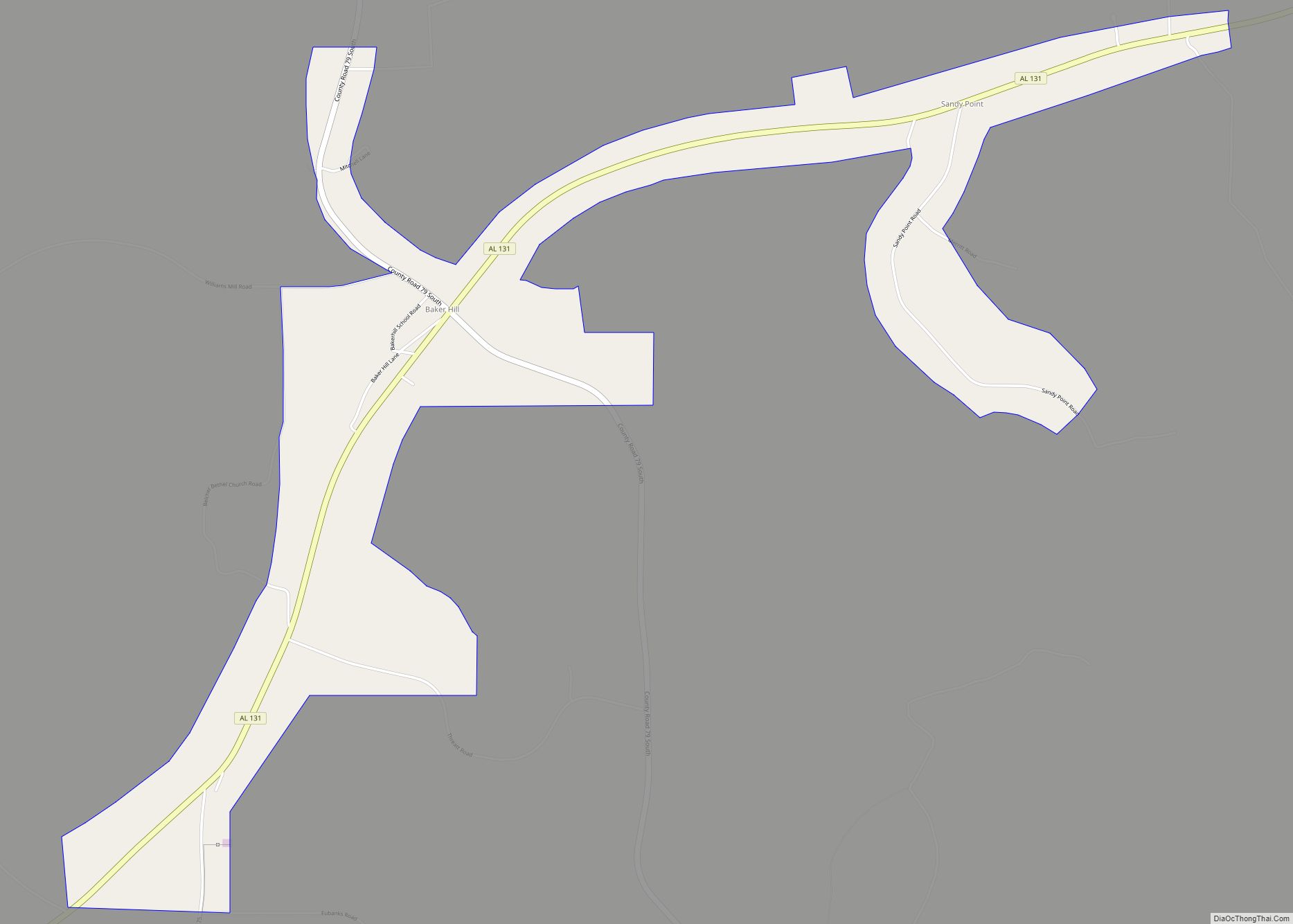
Bakerhill or Baker Hill is a town in Barbour County, Alabama, United States, near Eufaula. According to the 2010 U.S. Census, the town had a population of 279. Although it existed as an unincorporated village since before 1860, the town was officially incorporated in 1997.
| Name: | Bakerhill town |
|---|---|
| LSAD Code: | 43 |
| LSAD Description: | town (suffix) |
| State: | Alabama |
| County: | Barbour County |
| Elevation: | 535 ft (163 m) |
| Total Area: | 2.75 sq mi (7.13 km²) |
| Land Area: | 2.75 sq mi (7.13 km²) |
| Water Area: | 0.00 sq mi (0.00 km²) |
| Total Population: | 211 |
| Population Density: | 76.70/sq mi (29.61/km²) |
| Area code: | 334 |
| FIPS code: | 0103724 |
| GNISfeature ID: | 154970 |
Online Interactive Map
Click on ![]() to view map in "full screen" mode.
to view map in "full screen" mode.
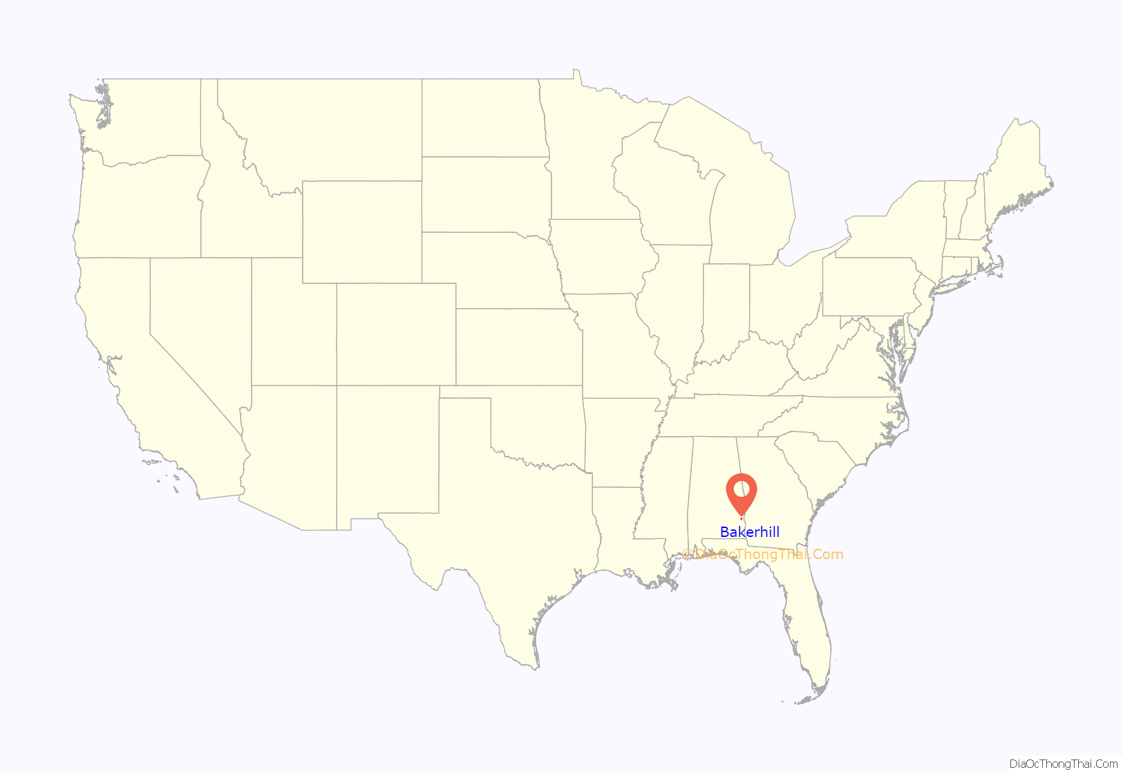
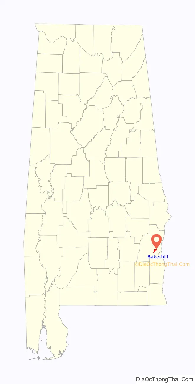
Bakerhill location map. Where is Bakerhill town?
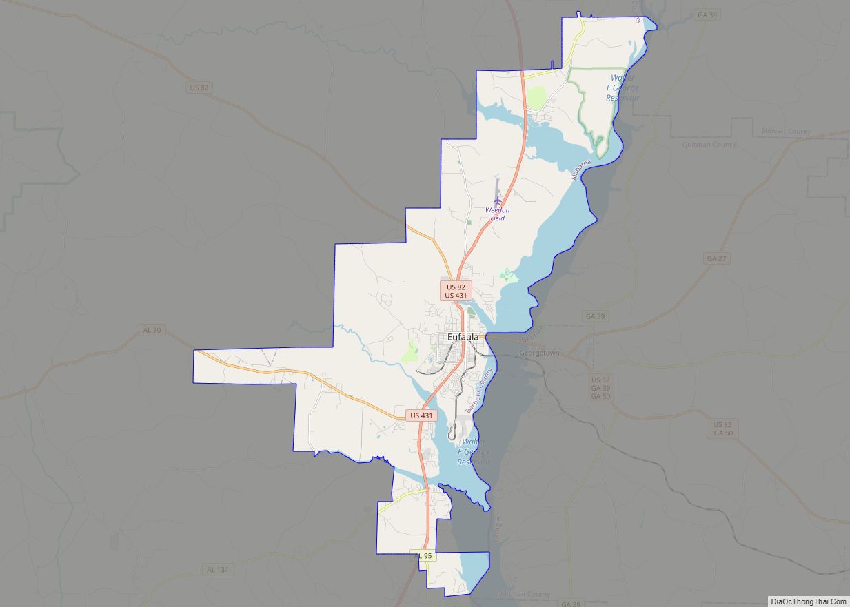
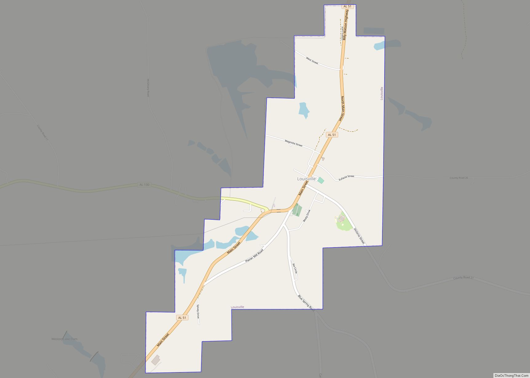
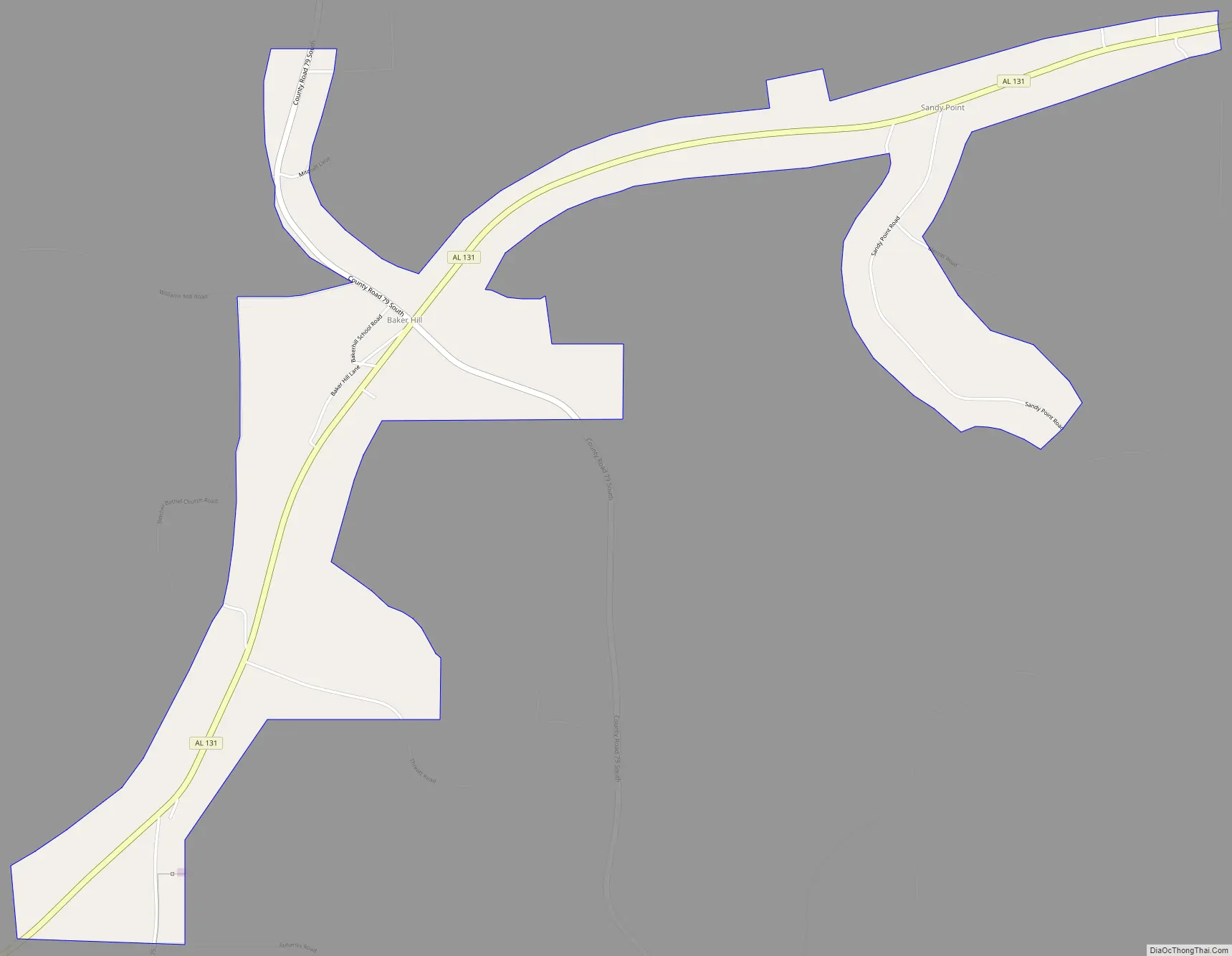
Bakerhill Road Map
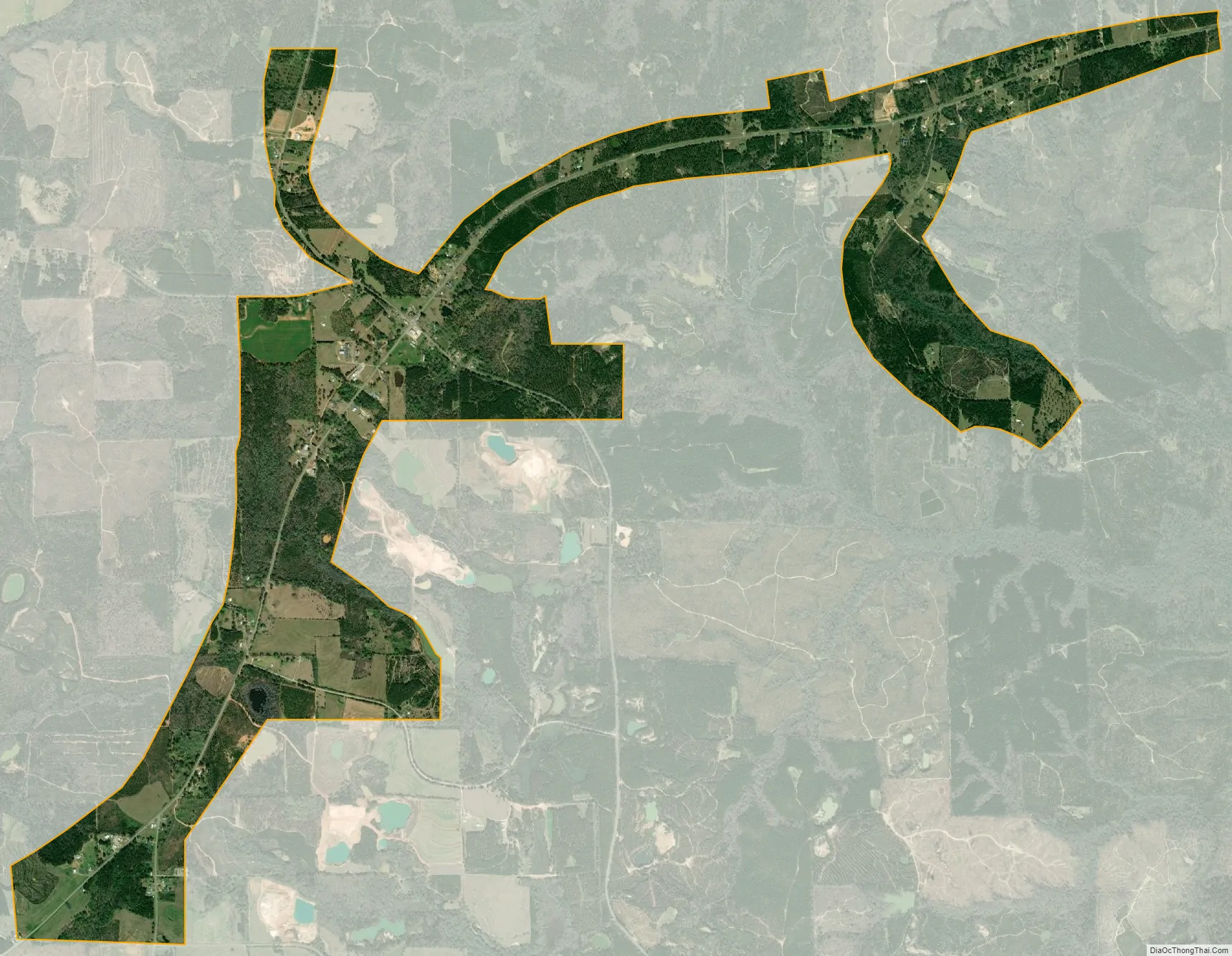
Bakerhill city Satellite Map
Geography
Bakerhill is located at 31.88 degrees north, 85.15 degrees west (31.88495, -85.15390).
The surrounding countryside is mostly rolling hills covered in mostly in pine forest. Small-scale logging, as well as bauxite mining and minor livestock raising activities account for most of the local area’s business activities. The town also, as of 2009, includes two gas stations as well as a grill & bar and a small, family owned and operated deer processing business. There is also a small feed mill.
The soil is mostly reddish clay and sand. Numerous Native American artifacts have been discovered there.
See also
Map of Alabama State and its subdivision:- Autauga
- Baldwin
- Barbour
- Bibb
- Blount
- Bullock
- Butler
- Calhoun
- Chambers
- Cherokee
- Chilton
- Choctaw
- Clarke
- Clay
- Cleburne
- Coffee
- Colbert
- Conecuh
- Coosa
- Covington
- Crenshaw
- Cullman
- Dale
- Dallas
- De Kalb
- Elmore
- Escambia
- Etowah
- Fayette
- Franklin
- Geneva
- Greene
- Hale
- Henry
- Houston
- Jackson
- Jefferson
- Lamar
- Lauderdale
- Lawrence
- Lee
- Limestone
- Lowndes
- Macon
- Madison
- Marengo
- Marion
- Marshall
- Mobile
- Monroe
- Montgomery
- Morgan
- Perry
- Pickens
- Pike
- Randolph
- Russell
- Saint Clair
- Shelby
- Sumter
- Talladega
- Tallapoosa
- Tuscaloosa
- Walker
- Washington
- Wilcox
- Winston
- Alabama
- Alaska
- Arizona
- Arkansas
- California
- Colorado
- Connecticut
- Delaware
- District of Columbia
- Florida
- Georgia
- Hawaii
- Idaho
- Illinois
- Indiana
- Iowa
- Kansas
- Kentucky
- Louisiana
- Maine
- Maryland
- Massachusetts
- Michigan
- Minnesota
- Mississippi
- Missouri
- Montana
- Nebraska
- Nevada
- New Hampshire
- New Jersey
- New Mexico
- New York
- North Carolina
- North Dakota
- Ohio
- Oklahoma
- Oregon
- Pennsylvania
- Rhode Island
- South Carolina
- South Dakota
- Tennessee
- Texas
- Utah
- Vermont
- Virginia
- Washington
- West Virginia
- Wisconsin
- Wyoming