Bayou La Batre (/ˌbaɪ.oʊ lə ˈbætri/ or locally /ˌbaɪlə ˈbætri/) is a city in Mobile County, Alabama, United States. It is part of the Mobile metropolitan area. As of the 2020 census, the population was 2,204, down from 2,558 at the 2010 census.
Bayou La Batre is a fishing village with a seafood-processing harbor for fishing boats and shrimp boats. The local chamber of commerce has described the city as the “Seafood Capitol of Alabama” for packaging seafood from hundreds of fishing boats.
Bayou La Batre was founded in 1786, when French-born Joseph Bouzage (or Bosarge) [1733-1795] was awarded a 1,259-acre (509 ha) Spanish land grant on the West Bank of the bayou (see history below). The modern city of Bayou La Batre was incorporated in 1955.
On August 29, 2005, the area was devastated by Hurricane Katrina, which produced the largest storm surge ever recorded in the area, reaching nearly 16 ft (5 m) and pushing many shrimp boats and the cargo ship M/V Caribbean Clipper onto shore.
| Name: | Bayou La Batre city |
|---|---|
| LSAD Code: | 25 |
| LSAD Description: | city (suffix) |
| State: | Alabama |
| County: | Mobile County |
| Elevation: | 10 ft (3 m) |
| Total Area: | 7.63 sq mi (19.77 km²) |
| Land Area: | 7.49 sq mi (19.40 km²) |
| Water Area: | 0.14 sq mi (0.37 km²) |
| Total Population: | 2,204 |
| Population Density: | 294.26/sq mi (113.62/km²) |
| ZIP code: | 36509 |
| Area code: | 251 |
| FIPS code: | 0104684 |
| GNISfeature ID: | 2403828 |
| Website: | cityofbayoulabatre.com |
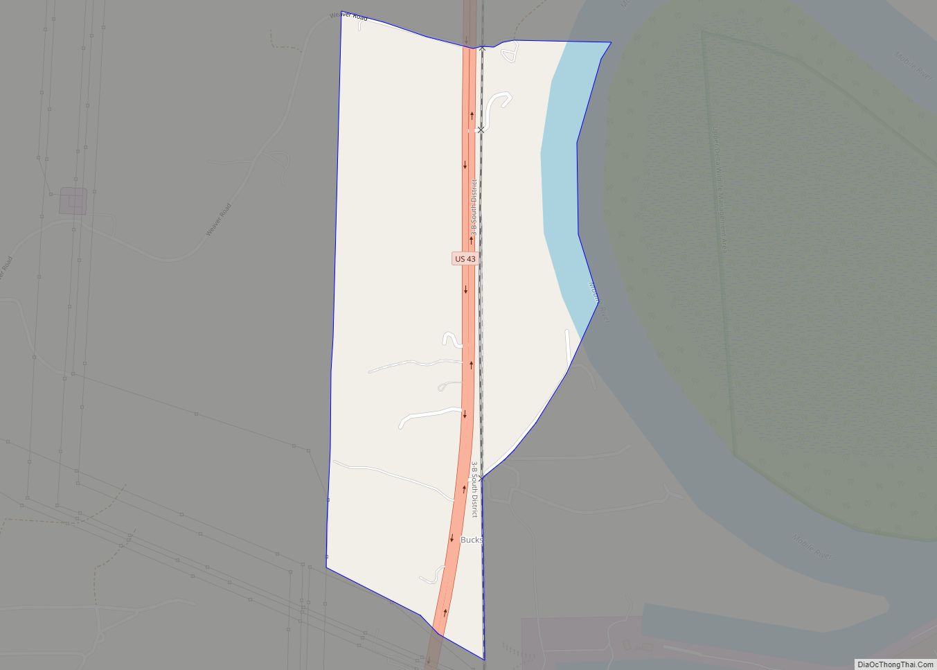
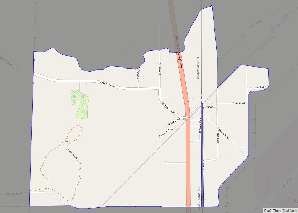
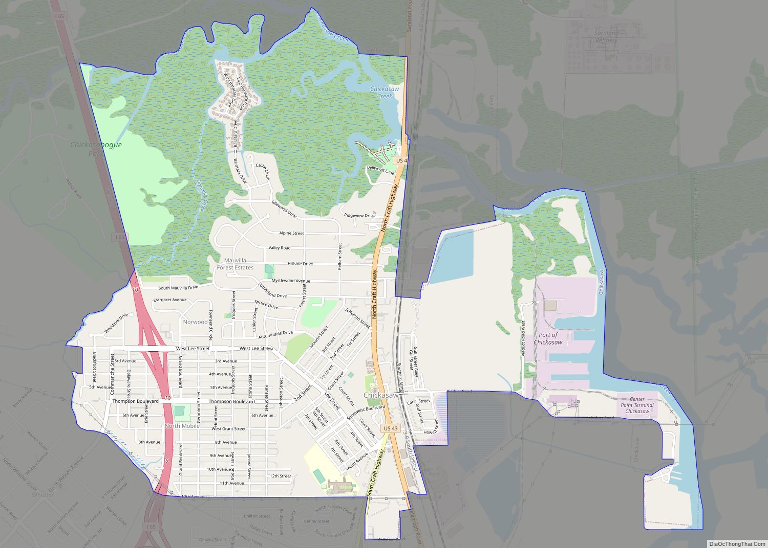
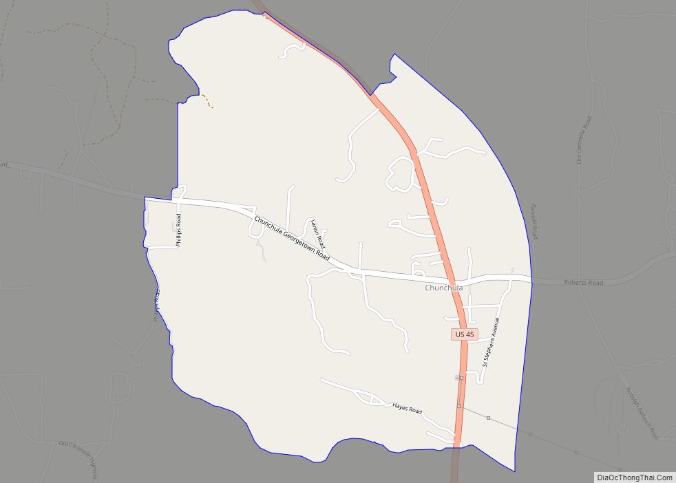
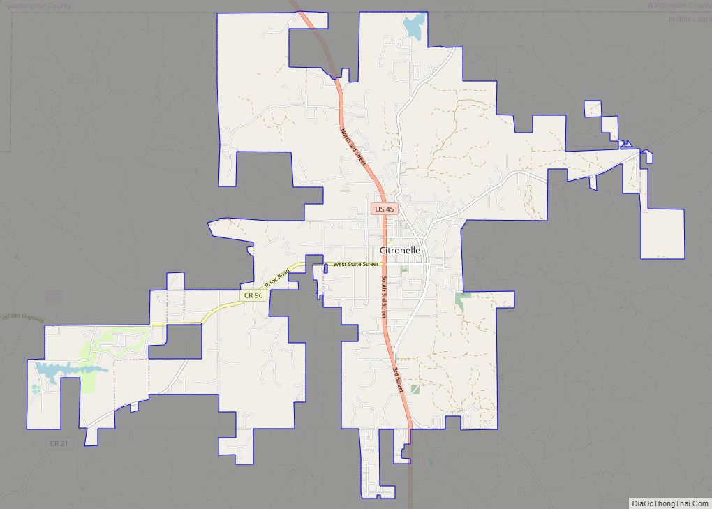
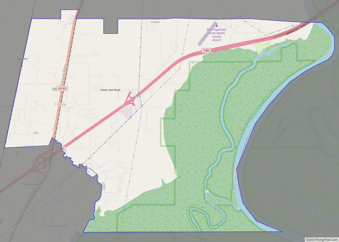
Online Interactive Map
Click on ![]() to view map in "full screen" mode.
to view map in "full screen" mode.
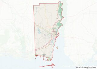
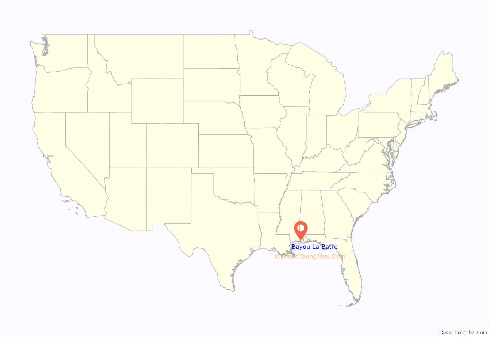
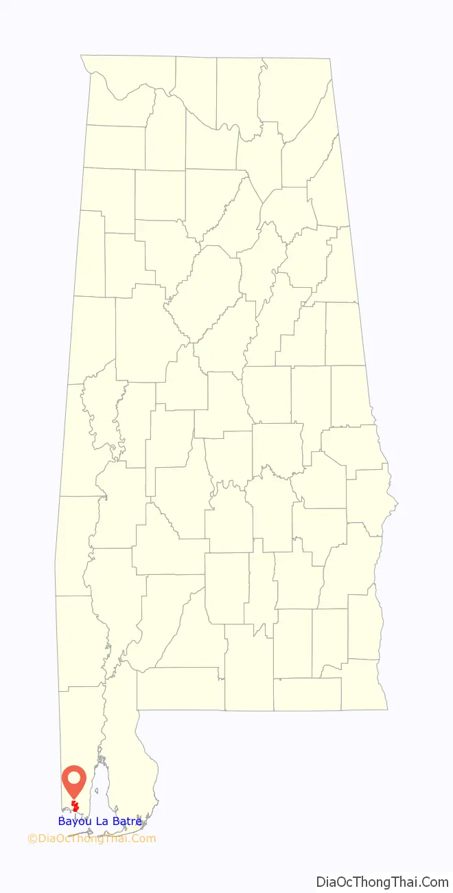
Bayou La Batre location map. Where is Bayou La Batre city?
History
As part of the French settlement of the Gulf Coast, the bayou was originally called “Riviere D’Erbane” and acquired the present name from the French-maintained battery of artillery on the west bank (“bayou of the battery”). Bayou La Batre was the first permanent settlement on the south Mobile County mainland and was founded in 1786, when Joseph Bouzage (Bosarge) [1733-95] moved into the area and was awarded a 1,259-acre (509 ha) Spanish land grant on the bayou’s west bank.
Born in Poitiers, France, Joseph Bouzage came to the Gulf Coast circa 1760, married Catherine Louise Baudreau (Boudreau) on June 5, 1762, and was the father of seven children, including one son, Jean Baptiste.
Hurricane Katrina
On August 29, 2005, the area was devastated by Hurricane Katrina, with a local storm surge of nearly 16-foot (5 m) and higher waves that engulfed Bayou La Batre and pushed over 23 shrimp boats and the cargo ship M/V Caribbean Clipper onto shore. The captain rode out Katrina on the 179-foot (55 m) cargo ship, owned by Caribbean Shipping Inc., and the ship was returned to sea six months later, using a large crane.
On September 7, the Hurricane Katrina Update for libraries affected by the storm indicated that the Bayou La Batre Public Library (then known as Mose Hudson Tapia Public Library) had been destroyed.
Students from the Alba Middle School documented the destruction through a series of photos that were exhibited at various venues in Alabama and the Chicago, Illinois region. Some of these were published in a book titled Eyes of the Storm: A Community Survives after Katrina (ISBN 978-0-9789362-0-4).
Immediately following the hurricane a group of high school students from Sierra High School in Truckee, California adopted the city of Bayou La Batre. They sent roughly $15,000, supplies, and 15 students to help rebuild homes. Students gathered donations, sold raffle tickets, and filled their school’s gym with supplies from bedding and clothes to basic household items. The school also set up a pen pal program with the students of the nearby school in Bayou La Batre.
In October 2005, seven weeks after Hurricane Katrina, Bayou La Batre was adopted by the city of Santa Monica, California (see: “Santa Monica Pier”) to assist in clean-up activities. The Santa Monica City Council approved loaning Bayou La Batre 18 vehicles, including six pickups, two trucks with large cranes, utility vehicles with smaller cranes, a dump truck, street sweepers, a riding lawnmower, and six chainsaws. The equipment was used to help remove debris and fishing boats from downtown; however, the larger shrimp boats that were washed into the surrounding woods by the flood waters remain there today.
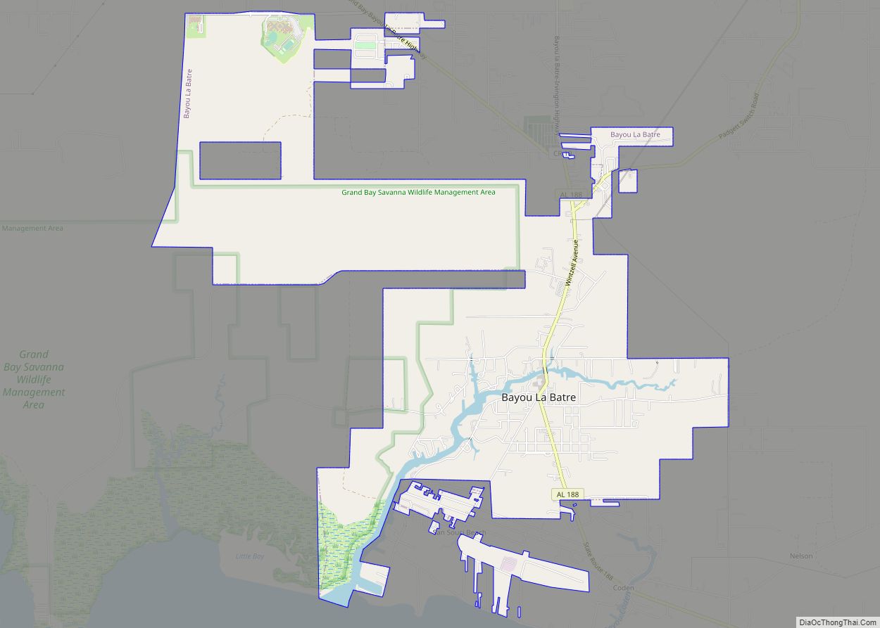
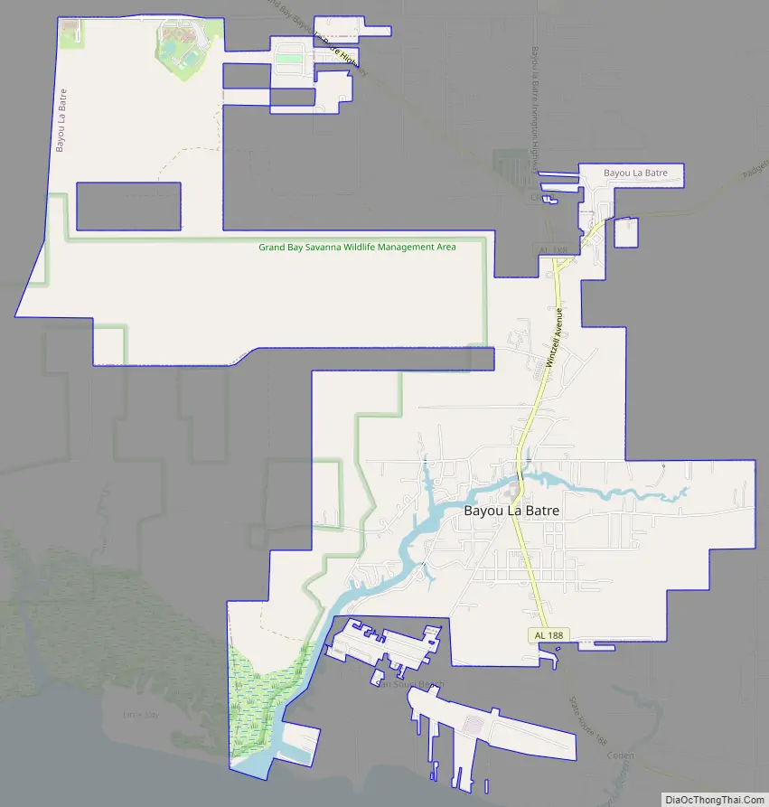
Bayou La Batre Road Map
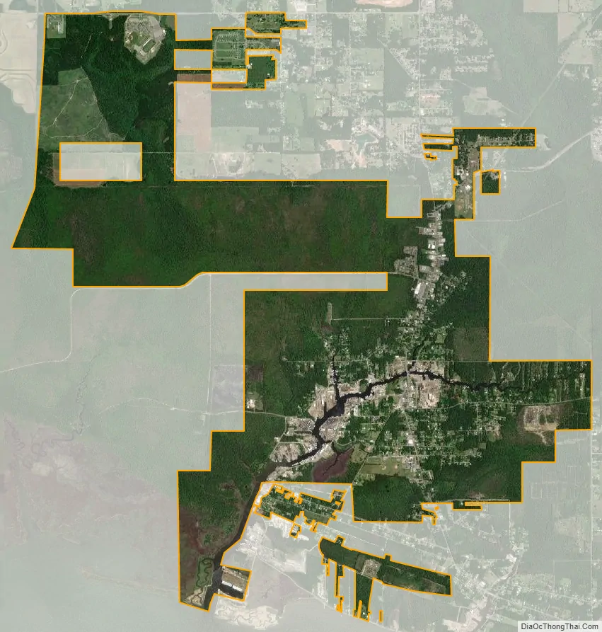
Bayou La Batre city Satellite Map
Geography
Bayou La Batre is located in southern Mobile County at 30°24′12″N 88°14′53″W / 30.40333°N 88.24806°W / 30.40333; -88.24806 (30.403253, -88.248117). The waterway Bayou La Batre passes through the center of the city and leads southwest 2 miles (3 km) to Portersville Bay, an arm of Mississippi Sound in the Gulf of Mexico.
The city is 27 miles (43 km) by road south-southwest of Mobile and 12 miles (19 km) east of the Mississippi border. According to the U.S. Census Bureau, the city has a total area of 7.6 square miles (19.7 km),of which 7.5 square miles (19.4 km) are land and 0.1 square miles (0.3 km), or 1.87%, are water.
Climate
The climate in this area is characterized by hot, humid summers and generally mild to cool winters. According to the Köppen Climate Classification system, Bayou La Batre has a humid subtropical climate, abbreviated “Cfa” on climate maps.
See also
Map of Alabama State and its subdivision:- Autauga
- Baldwin
- Barbour
- Bibb
- Blount
- Bullock
- Butler
- Calhoun
- Chambers
- Cherokee
- Chilton
- Choctaw
- Clarke
- Clay
- Cleburne
- Coffee
- Colbert
- Conecuh
- Coosa
- Covington
- Crenshaw
- Cullman
- Dale
- Dallas
- De Kalb
- Elmore
- Escambia
- Etowah
- Fayette
- Franklin
- Geneva
- Greene
- Hale
- Henry
- Houston
- Jackson
- Jefferson
- Lamar
- Lauderdale
- Lawrence
- Lee
- Limestone
- Lowndes
- Macon
- Madison
- Marengo
- Marion
- Marshall
- Mobile
- Monroe
- Montgomery
- Morgan
- Perry
- Pickens
- Pike
- Randolph
- Russell
- Saint Clair
- Shelby
- Sumter
- Talladega
- Tallapoosa
- Tuscaloosa
- Walker
- Washington
- Wilcox
- Winston
- Alabama
- Alaska
- Arizona
- Arkansas
- California
- Colorado
- Connecticut
- Delaware
- District of Columbia
- Florida
- Georgia
- Hawaii
- Idaho
- Illinois
- Indiana
- Iowa
- Kansas
- Kentucky
- Louisiana
- Maine
- Maryland
- Massachusetts
- Michigan
- Minnesota
- Mississippi
- Missouri
- Montana
- Nebraska
- Nevada
- New Hampshire
- New Jersey
- New Mexico
- New York
- North Carolina
- North Dakota
- Ohio
- Oklahoma
- Oregon
- Pennsylvania
- Rhode Island
- South Carolina
- South Dakota
- Tennessee
- Texas
- Utah
- Vermont
- Virginia
- Washington
- West Virginia
- Wisconsin
- Wyoming