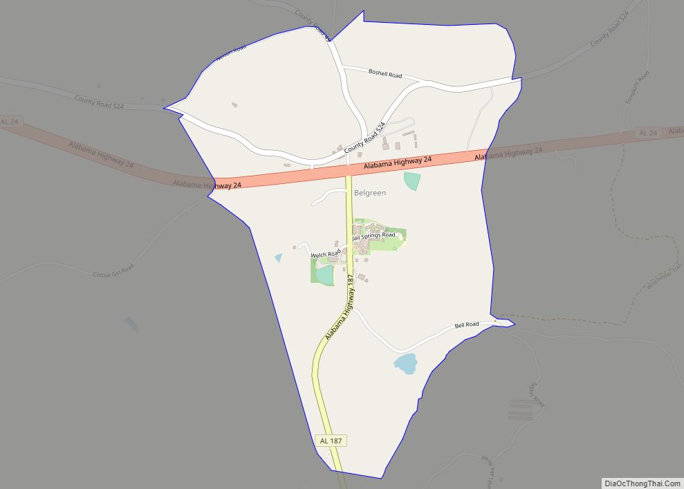
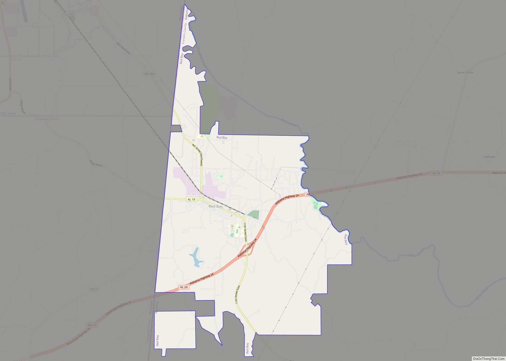
Belgreen is a census-designated place and unincorporated community in Franklin County, Alabama, United States, located nine miles west of Russellville and around 17 miles east of Red Bay on Alabama Highway 24. As of the 2010 census, its population was 129. Belgreen is a small district, composed of a condensed area of residency, the school, a small gas station, car wash, and a new Dollar General.
| Name: | Belgreen CDP |
|---|---|
| LSAD Code: | 57 |
| LSAD Description: | CDP (suffix) |
| State: | Alabama |
| County: | Franklin County |
| Elevation: | 807 ft (246 m) |
| Total Area: | 1.23 sq mi (3.20 km²) |
| Land Area: | 1.23 sq mi (3.18 km²) |
| Water Area: | 0.01 sq mi (0.02 km²) |
| Total Population: | 170 |
| Population Density: | 138.44/sq mi (53.45/km²) |
| ZIP code: | 35653 |
| Area code: | 256 |
| FIPS code: | 0105140 |
| GNISfeature ID: | 0154979 |
Online Interactive Map
Click on ![]() to view map in "full screen" mode.
to view map in "full screen" mode.
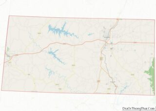
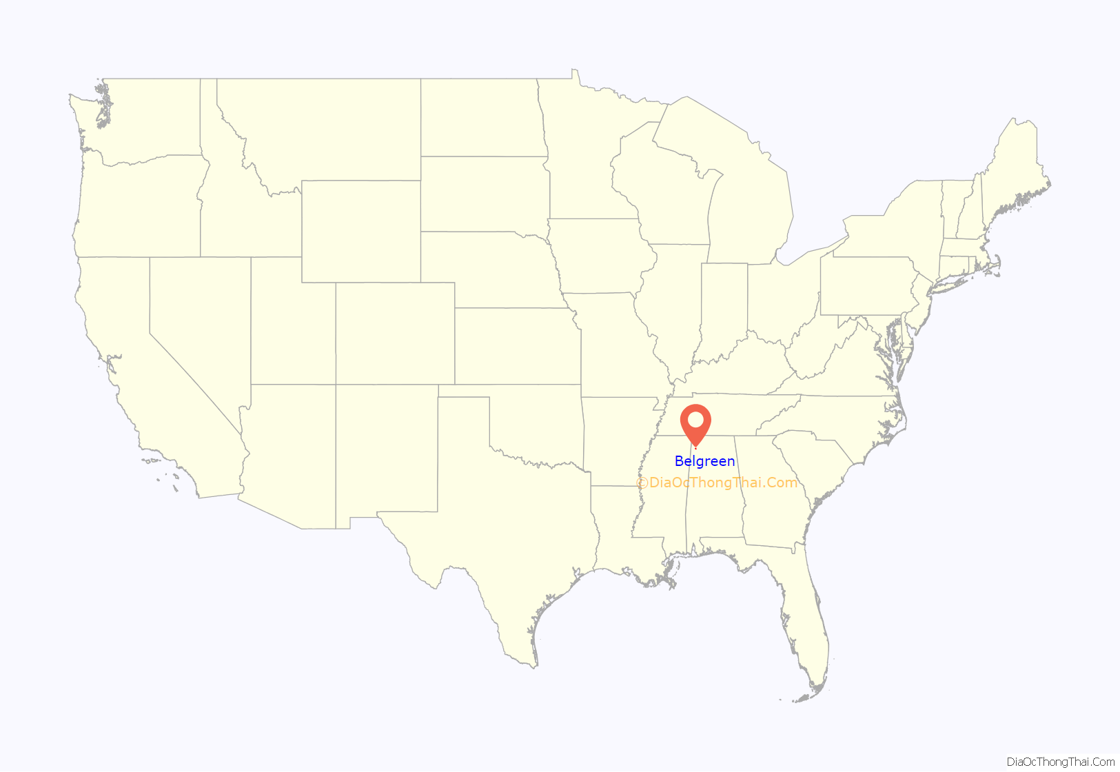
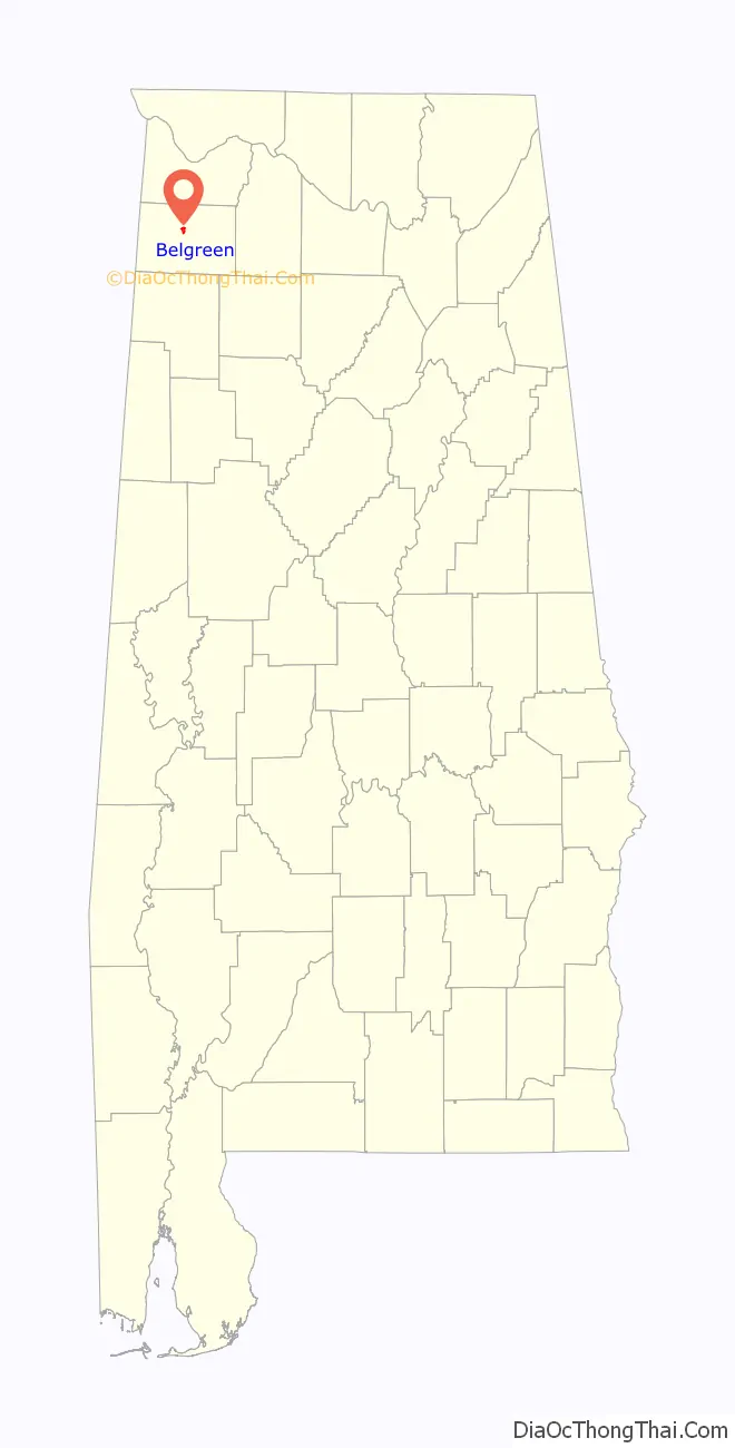
Belgreen location map. Where is Belgreen CDP?
History
Belgreen was the county seat of Franklin County between 1878 and 1891. A post office was established in 1879, but it was later closed. The Franklin County Career Technical Center is now located on the site where the county courthouse and jail once stood. Due to this, the road between the Career Technical Center and the Science Hall of Belgreen High School is named Jail Springs Road. The courthouse and jail existed on this site after the county seat was moved from Frankfort, which is approximately seven miles north of Belgreen. The courthouse complex existed on the current grounds of the Career Technical Center until it burned and was eventually moved to Russellville.
Another interesting note is that the building that now exists as part of the After-School program at Belgreen High School was once a canning plant, one of the many businesses that once existed in Belgreen. Other businesses also included a second gas station and country store at the beginning of Highway 49, as well as a barber shop at the four-way intersection.
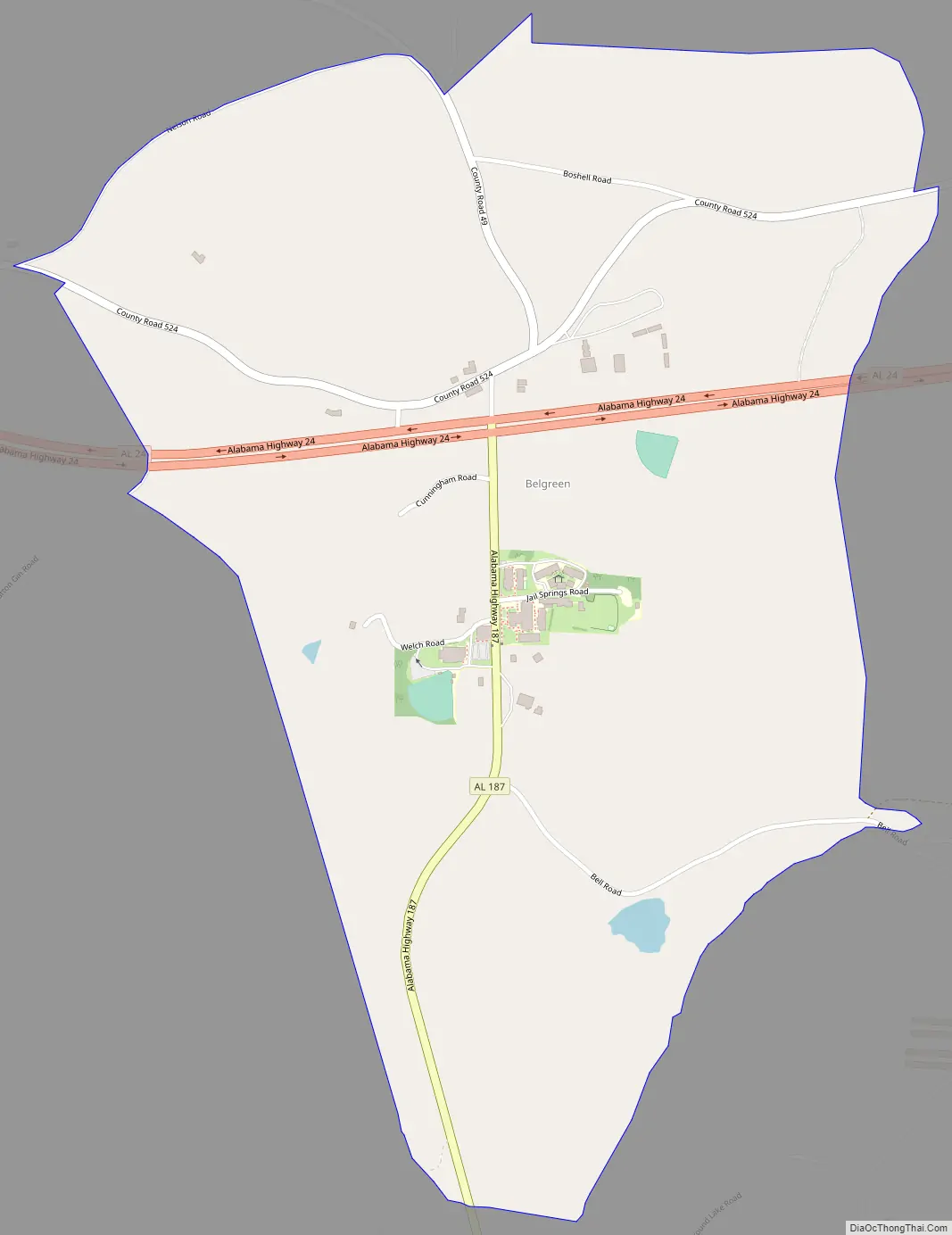
Belgreen Road Map
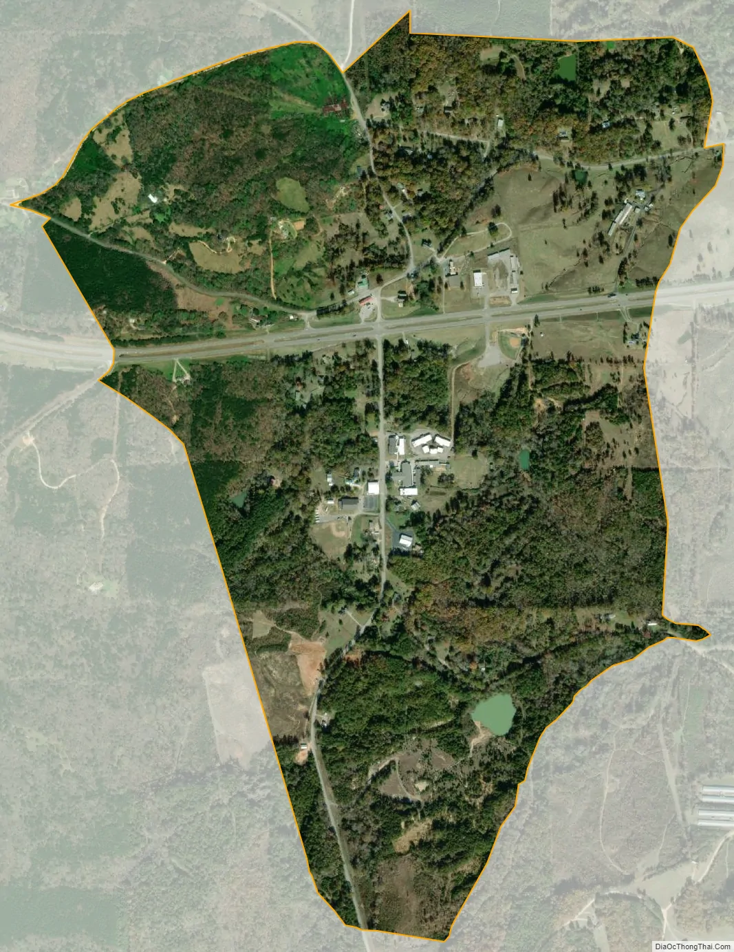
Belgreen city Satellite Map
See also
Map of Alabama State and its subdivision:- Autauga
- Baldwin
- Barbour
- Bibb
- Blount
- Bullock
- Butler
- Calhoun
- Chambers
- Cherokee
- Chilton
- Choctaw
- Clarke
- Clay
- Cleburne
- Coffee
- Colbert
- Conecuh
- Coosa
- Covington
- Crenshaw
- Cullman
- Dale
- Dallas
- De Kalb
- Elmore
- Escambia
- Etowah
- Fayette
- Franklin
- Geneva
- Greene
- Hale
- Henry
- Houston
- Jackson
- Jefferson
- Lamar
- Lauderdale
- Lawrence
- Lee
- Limestone
- Lowndes
- Macon
- Madison
- Marengo
- Marion
- Marshall
- Mobile
- Monroe
- Montgomery
- Morgan
- Perry
- Pickens
- Pike
- Randolph
- Russell
- Saint Clair
- Shelby
- Sumter
- Talladega
- Tallapoosa
- Tuscaloosa
- Walker
- Washington
- Wilcox
- Winston
- Alabama
- Alaska
- Arizona
- Arkansas
- California
- Colorado
- Connecticut
- Delaware
- District of Columbia
- Florida
- Georgia
- Hawaii
- Idaho
- Illinois
- Indiana
- Iowa
- Kansas
- Kentucky
- Louisiana
- Maine
- Maryland
- Massachusetts
- Michigan
- Minnesota
- Mississippi
- Missouri
- Montana
- Nebraska
- Nevada
- New Hampshire
- New Jersey
- New Mexico
- New York
- North Carolina
- North Dakota
- Ohio
- Oklahoma
- Oregon
- Pennsylvania
- Rhode Island
- South Carolina
- South Dakota
- Tennessee
- Texas
- Utah
- Vermont
- Virginia
- Washington
- West Virginia
- Wisconsin
- Wyoming