Russellville is a city in Franklin County in the U.S. state of Alabama. At the 2020 census, the population of the city was 10,855, up from 9,830 at the 2010 census. The city is the county seat of Franklin County.
| Name: | Russellville city |
|---|---|
| LSAD Code: | 25 |
| LSAD Description: | city (suffix) |
| State: | Alabama |
| County: | Franklin County |
| Incorporated: | November 27, 1819 |
| Elevation: | 764 ft (233 m) |
| Total Area: | 13.52 sq mi (35.00 km²) |
| Land Area: | 13.41 sq mi (34.73 km²) |
| Water Area: | 0.11 sq mi (0.27 km²) |
| Total Population: | 10,855 |
| Population Density: | 809.47/sq mi (312.55/km²) |
| ZIP code: | 35653-35654 |
| Area code: | 256 |
| FIPS code: | 0167056 |
| GNISfeature ID: | 0126047 |
| Website: | www.russellvilleal.org |
Online Interactive Map
Click on ![]() to view map in "full screen" mode.
to view map in "full screen" mode.
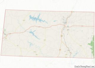
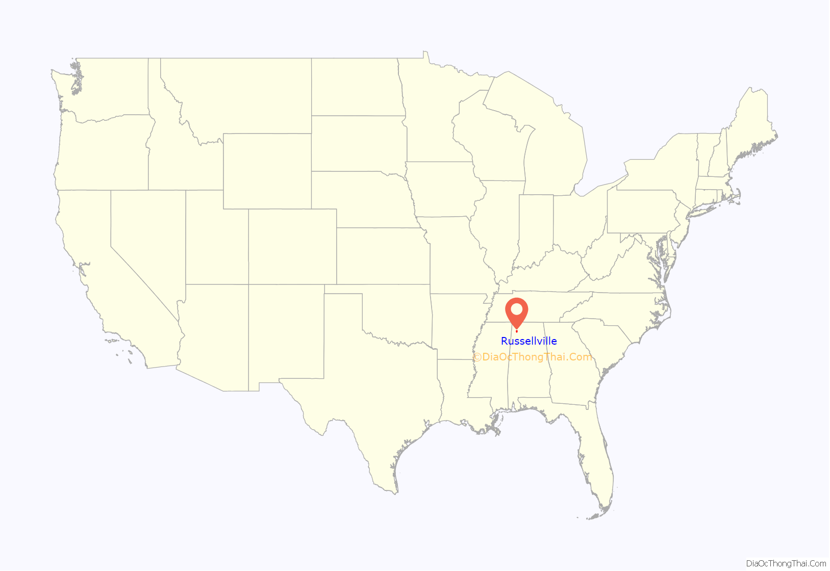
Russellville location map. Where is Russellville city?

History
After the War of 1812, the U.S. government appropriated money to improve a route from Nashville to New Orleans. It was named Jackson’s Military Road after Andrew Jackson, and it passed through what became Russellville. (Present-day Jackson Avenue and Jackson Highway, U.S. Route 43, follow portions of the original road.)
Russellville is named after Major William Russell, an early settler in the area who helped in the construction of Jackson’s Military Road. The town grew at this road’s intersection with the Gaines Trace.
Russellville was incorporated on November 27, 1819.
Russellville served as the first county seat from 1818-1849 before it was removed to Frankfort (which served from 1849-1879). After the fire at the courthouse in the third county seat of Belgreen in 1890, the seat was returned to Russellville in 1891.
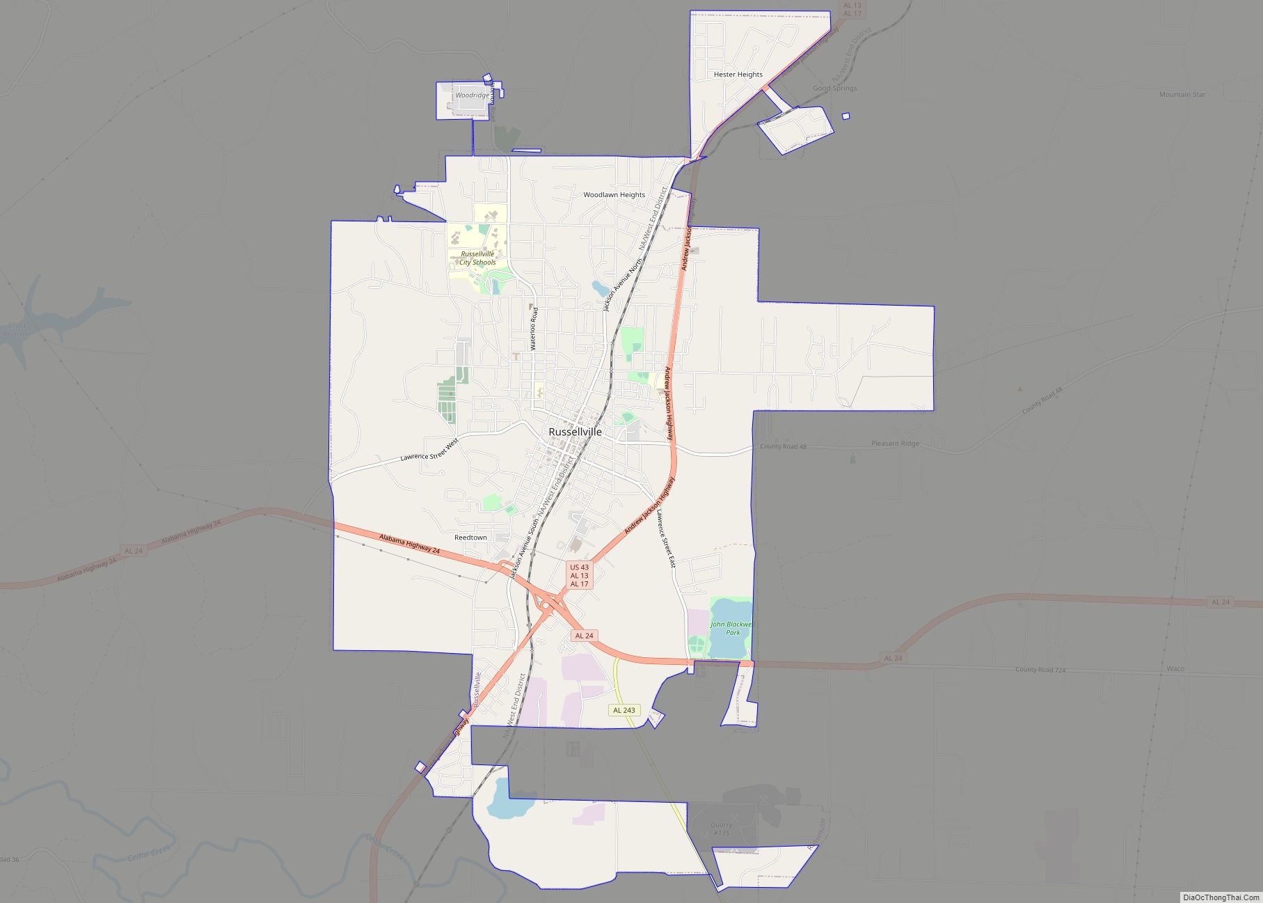
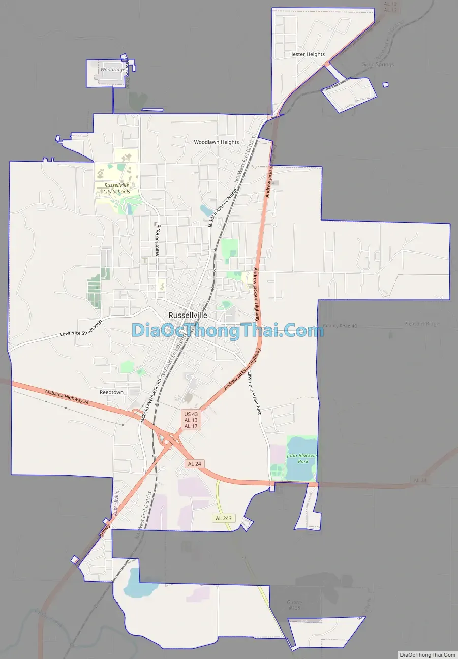
Russellville Road Map
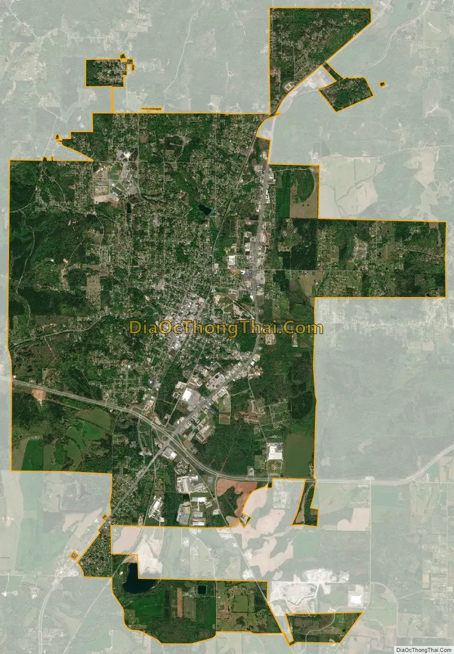
Russellville city Satellite Map
Geography
Russellville is located in northeastern Franklin County. U.S. Route 43 passes through the eastern side of the city, leading north 18 miles (29 km) to Muscle Shoals on the Tennessee River and southwest 31 miles (50 km) to Hamilton. Alabama State Route 24 passes through the south side of the city, leading east 47 miles (76 km) to Decatur on the Tennessee River and west 26 miles (42 km) to Red Bay at the Mississippi border.
According to the U.S. Census Bureau, Russellville has a total area of 13.5 square miles (35.0 km), of which 13.4 square miles (34.7 km) is land and 0.1 square miles (0.3 km), or 0.79%, is water.
Climate
See also
Map of Alabama State and its subdivision:- Autauga
- Baldwin
- Barbour
- Bibb
- Blount
- Bullock
- Butler
- Calhoun
- Chambers
- Cherokee
- Chilton
- Choctaw
- Clarke
- Clay
- Cleburne
- Coffee
- Colbert
- Conecuh
- Coosa
- Covington
- Crenshaw
- Cullman
- Dale
- Dallas
- De Kalb
- Elmore
- Escambia
- Etowah
- Fayette
- Franklin
- Geneva
- Greene
- Hale
- Henry
- Houston
- Jackson
- Jefferson
- Lamar
- Lauderdale
- Lawrence
- Lee
- Limestone
- Lowndes
- Macon
- Madison
- Marengo
- Marion
- Marshall
- Mobile
- Monroe
- Montgomery
- Morgan
- Perry
- Pickens
- Pike
- Randolph
- Russell
- Saint Clair
- Shelby
- Sumter
- Talladega
- Tallapoosa
- Tuscaloosa
- Walker
- Washington
- Wilcox
- Winston
- Alabama
- Alaska
- Arizona
- Arkansas
- California
- Colorado
- Connecticut
- Delaware
- District of Columbia
- Florida
- Georgia
- Hawaii
- Idaho
- Illinois
- Indiana
- Iowa
- Kansas
- Kentucky
- Louisiana
- Maine
- Maryland
- Massachusetts
- Michigan
- Minnesota
- Mississippi
- Missouri
- Montana
- Nebraska
- Nevada
- New Hampshire
- New Jersey
- New Mexico
- New York
- North Carolina
- North Dakota
- Ohio
- Oklahoma
- Oregon
- Pennsylvania
- Rhode Island
- South Carolina
- South Dakota
- Tennessee
- Texas
- Utah
- Vermont
- Virginia
- Washington
- West Virginia
- Wisconsin
- Wyoming