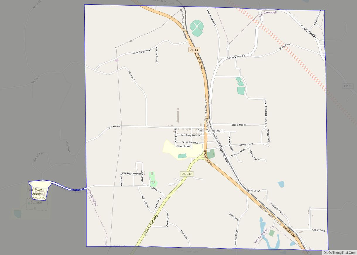
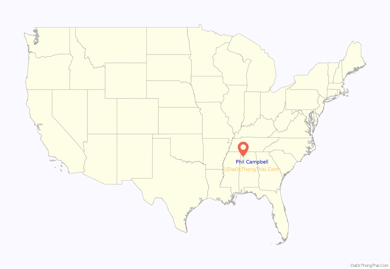
Phil Campbell is a town in Franklin County, Alabama, United States. At the 2020 census, the population was 992. It is one of two towns in Alabama to have the first and last name of an individual; the other is Susan Moore.
| Name: | Phil Campbell town |
|---|---|
| LSAD Code: | 43 |
| LSAD Description: | town (suffix) |
| State: | Alabama |
| County: | Franklin County |
| Elevation: | 1,040 ft (320 m) |
| Total Area: | 4.32 sq mi (11.20 km²) |
| Land Area: | 4.31 sq mi (11.16 km²) |
| Water Area: | 0.01 sq mi (0.04 km²) |
| Total Population: | 992 |
| Population Density: | 230.16/sq mi (88.87/km²) |
| ZIP code: | 35581 |
| Area code: | 205, 659 |
| FIPS code: | 0159496 |
| GNISfeature ID: | 0124673 |
| Website: | philcampbellal.com |
Online Interactive Map
Click on ![]() to view map in "full screen" mode.
to view map in "full screen" mode.
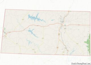
Phil Campbell location map. Where is Phil Campbell town?
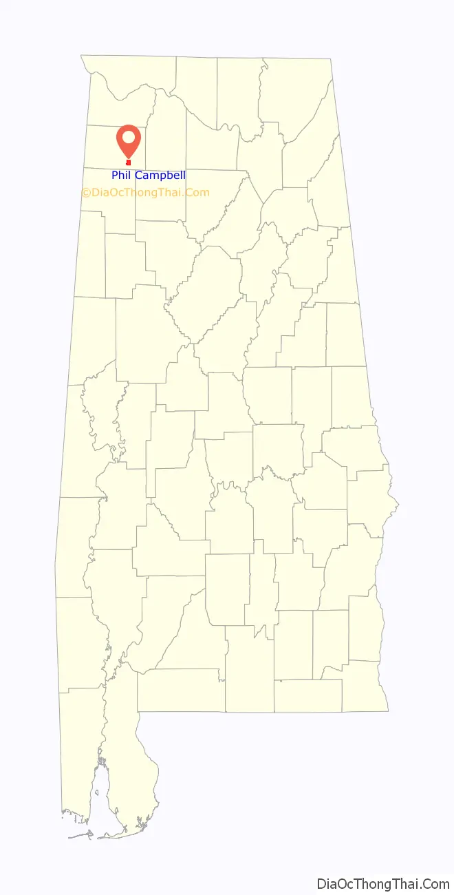
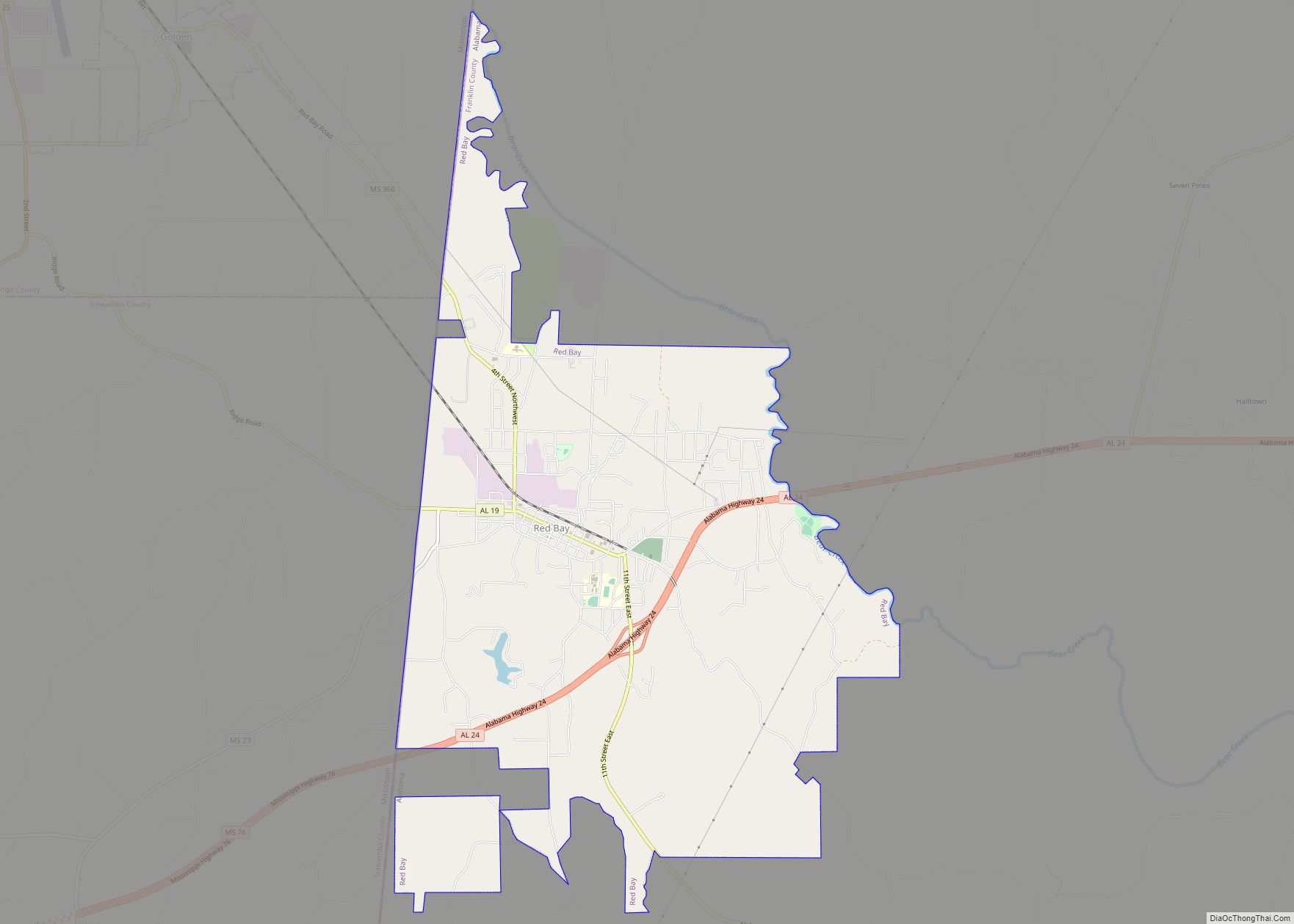
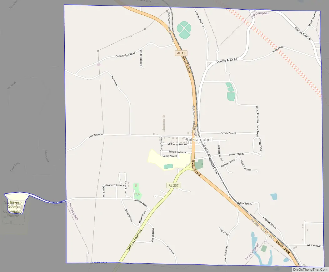
Phil Campbell Road Map
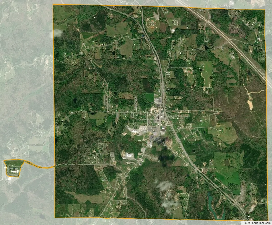
Phil Campbell city Satellite Map
Geography
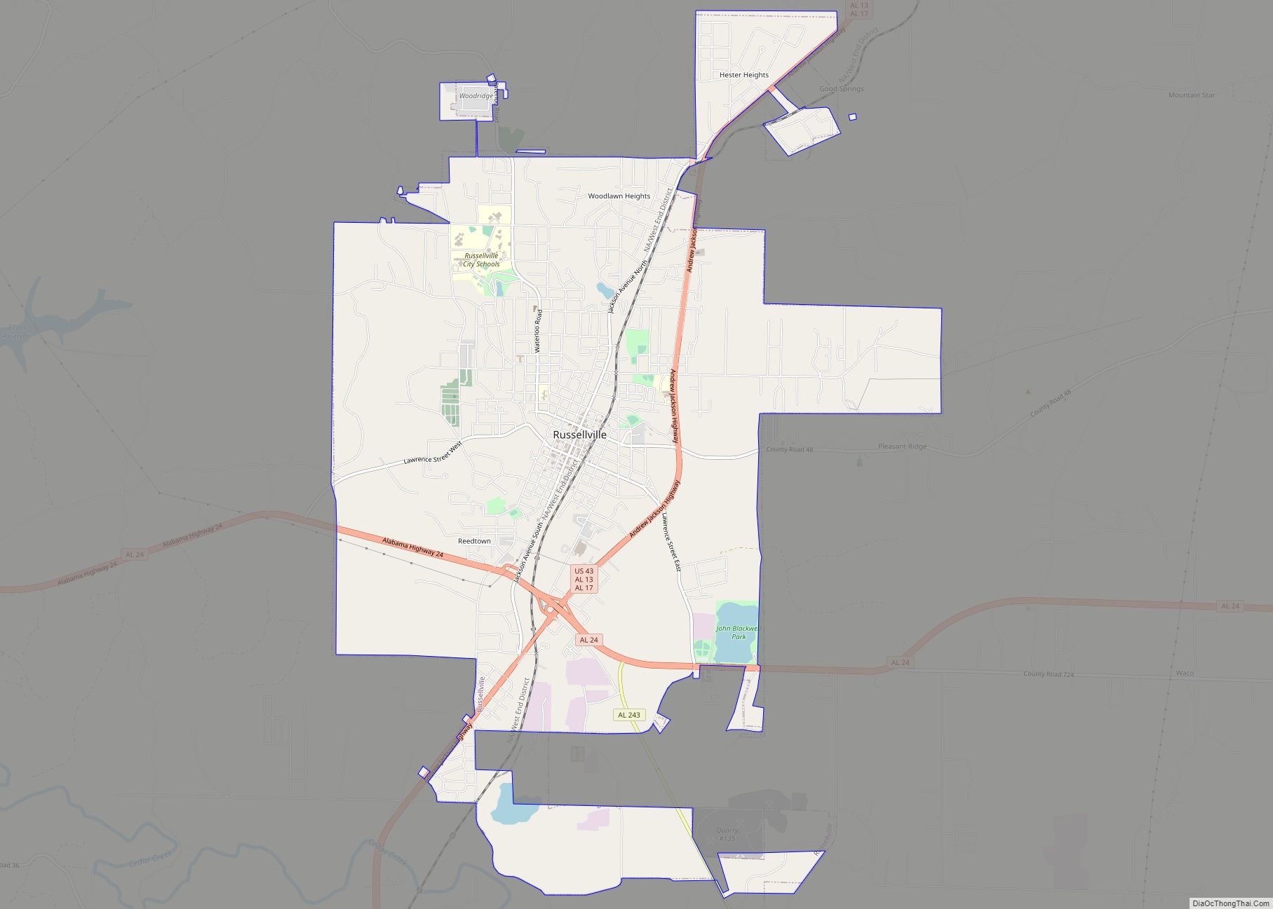
Phil Campbell is located in southeastern Franklin County at 34°21′05″N 87°42′27″W / 34.351505°N 87.707414°W / 34.351505; -87.707414. Alabama State Route 13 passes through the town, leading north 12 miles (19 km) to Russellville and south 12 miles (19 km) to Haleyville.
According to the U.S. Census Bureau, the town of Phil Campbell has a total area of 4.1 square miles (10.6 km), of which 0.02 square miles (0.04 km), or 0.37%, is water.
See also
Map of Alabama State and its subdivision:- Autauga
- Baldwin
- Barbour
- Bibb
- Blount
- Bullock
- Butler
- Calhoun
- Chambers
- Cherokee
- Chilton
- Choctaw
- Clarke
- Clay
- Cleburne
- Coffee
- Colbert
- Conecuh
- Coosa
- Covington
- Crenshaw
- Cullman
- Dale
- Dallas
- De Kalb
- Elmore
- Escambia
- Etowah
- Fayette
- Franklin
- Geneva
- Greene
- Hale
- Henry
- Houston
- Jackson
- Jefferson
- Lamar
- Lauderdale
- Lawrence
- Lee
- Limestone
- Lowndes
- Macon
- Madison
- Marengo
- Marion
- Marshall
- Mobile
- Monroe
- Montgomery
- Morgan
- Perry
- Pickens
- Pike
- Randolph
- Russell
- Saint Clair
- Shelby
- Sumter
- Talladega
- Tallapoosa
- Tuscaloosa
- Walker
- Washington
- Wilcox
- Winston
- Alabama
- Alaska
- Arizona
- Arkansas
- California
- Colorado
- Connecticut
- Delaware
- District of Columbia
- Florida
- Georgia
- Hawaii
- Idaho
- Illinois
- Indiana
- Iowa
- Kansas
- Kentucky
- Louisiana
- Maine
- Maryland
- Massachusetts
- Michigan
- Minnesota
- Mississippi
- Missouri
- Montana
- Nebraska
- Nevada
- New Hampshire
- New Jersey
- New Mexico
- New York
- North Carolina
- North Dakota
- Ohio
- Oklahoma
- Oregon
- Pennsylvania
- Rhode Island
- South Carolina
- South Dakota
- Tennessee
- Texas
- Utah
- Vermont
- Virginia
- Washington
- West Virginia
- Wisconsin
- Wyoming