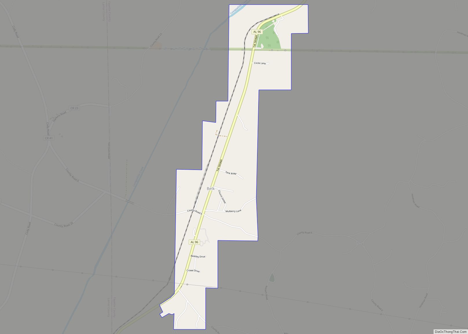
Belk is a town in Fayette County, Alabama, United States. Its citizens voted to incorporate in January 1969. At the 2020 census, the population was 186.
| Name: | Belk town |
|---|---|
| LSAD Code: | 43 |
| LSAD Description: | town (suffix) |
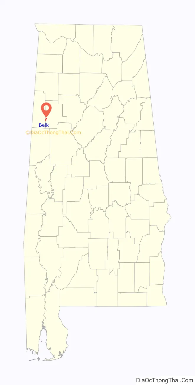
| State: | Alabama |
| County: | Fayette County |
| Elevation: | 315 ft (96 m) |
| Total Area: | 1.39 sq mi (3.59 km²) |
| Land Area: | 1.39 sq mi (3.59 km²) |
| Water Area: | 0.00 sq mi (0.00 km²) |
| Total Population: | 186 |
| Population Density: | 134.20/sq mi (51.81/km²) |
| ZIP code: | 35545 |
| FIPS code: | 0105164 |
| GNISfeature ID: | 0113846 |
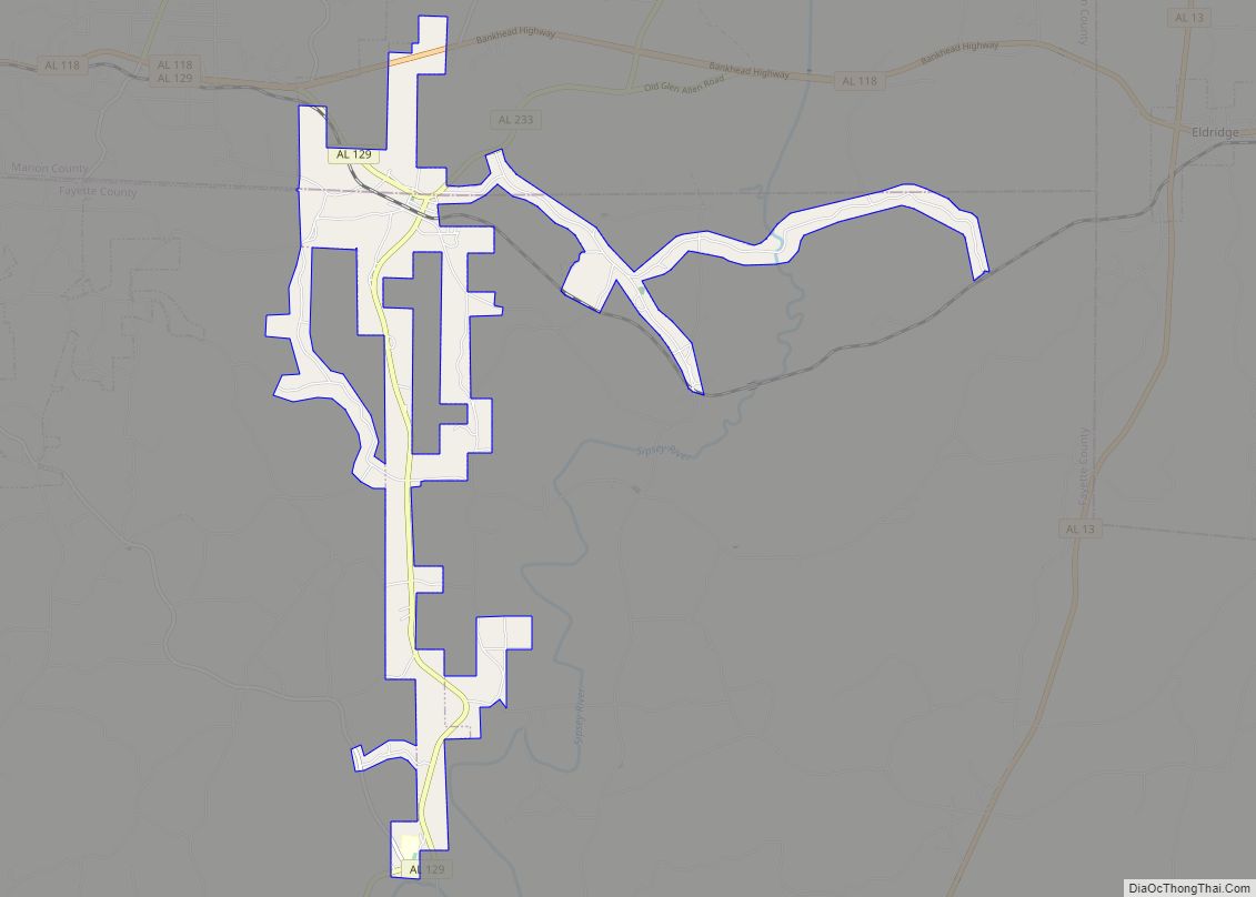
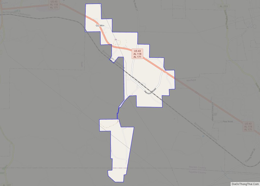
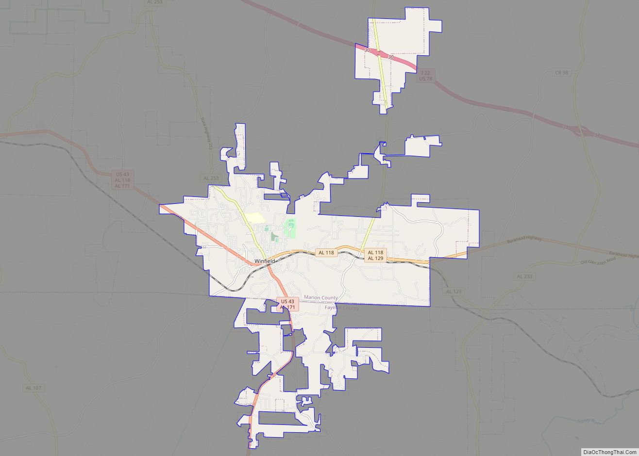
Online Interactive Map
Click on ![]() to view map in "full screen" mode.
to view map in "full screen" mode.
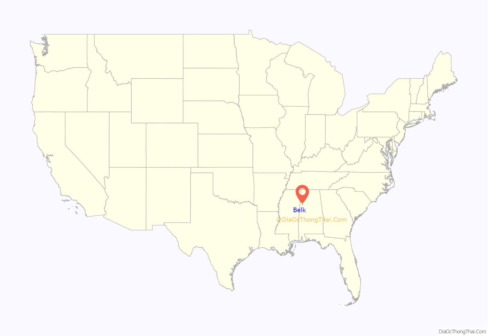
Belk location map. Where is Belk town?
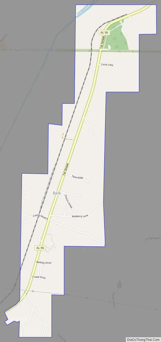
Belk Road Map
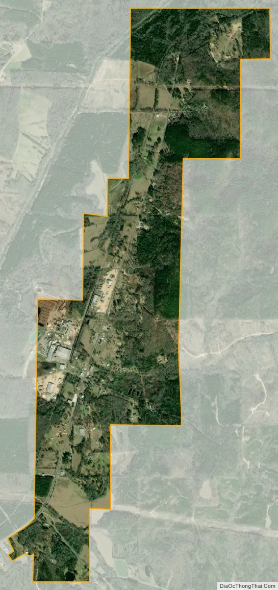
Belk city Satellite Map
Geography
Belk is located in western Fayette County at 33°38′45″N 87°55′51″W / 33.64583°N 87.93083°W / 33.64583; -87.93083 (33.645856, -87.930934). It is on the east side of the valley of Luxapalilla Creek, a southwest-flowing tributary of the Tombigbee River. Alabama State Route 96 runs through the town, leading northeast 7 miles (11 km) to Fayette, the county seat, and southwest 12 miles (19 km) to Millport. Columbus, Mississippi, is 34 miles (55 km) to the southwest.
According to the U.S. Census Bureau, Belk has a total area of 1.4 square miles (3.6 km), all land.
See also
Map of Alabama State and its subdivision:- Autauga
- Baldwin
- Barbour
- Bibb
- Blount
- Bullock
- Butler
- Calhoun
- Chambers
- Cherokee
- Chilton
- Choctaw
- Clarke
- Clay
- Cleburne
- Coffee
- Colbert
- Conecuh
- Coosa
- Covington
- Crenshaw
- Cullman
- Dale
- Dallas
- De Kalb
- Elmore
- Escambia
- Etowah
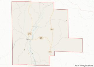
- Fayette
- Franklin
- Geneva
- Greene
- Hale
- Henry
- Houston
- Jackson
- Jefferson
- Lamar
- Lauderdale
- Lawrence
- Lee
- Limestone
- Lowndes
- Macon
- Madison
- Marengo
- Marion
- Marshall
- Mobile
- Monroe
- Montgomery
- Morgan
- Perry
- Pickens
- Pike
- Randolph
- Russell
- Saint Clair
- Shelby
- Sumter
- Talladega
- Tallapoosa
- Tuscaloosa
- Walker
- Washington
- Wilcox
- Winston
- Alabama
- Alaska
- Arizona
- Arkansas
- California
- Colorado
- Connecticut
- Delaware
- District of Columbia
- Florida
- Georgia
- Hawaii
- Idaho
- Illinois
- Indiana
- Iowa
- Kansas
- Kentucky
- Louisiana
- Maine
- Maryland
- Massachusetts
- Michigan
- Minnesota
- Mississippi
- Missouri
- Montana
- Nebraska
- Nevada
- New Hampshire
- New Jersey
- New Mexico
- New York
- North Carolina
- North Dakota
- Ohio
- Oklahoma
- Oregon
- Pennsylvania
- Rhode Island
- South Carolina
- South Dakota
- Tennessee
- Texas
- Utah
- Vermont
- Virginia
- Washington
- West Virginia
- Wisconsin
- Wyoming