Berry is a town in Fayette County, Alabama, United States. At the 2010 census the population was 1,148, down from 1,238 at the 2000 census.
| Name: | Berry town |
|---|---|
| LSAD Code: | 43 |
| LSAD Description: | town (suffix) |
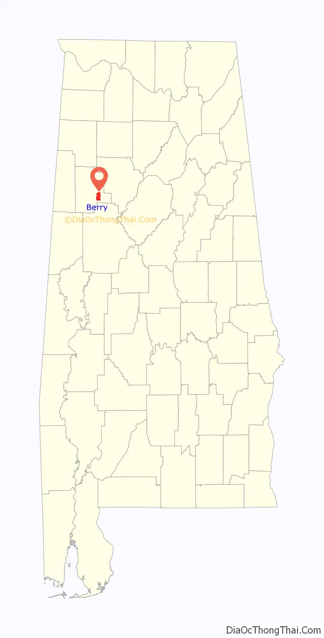
| State: | Alabama |
| County: | Fayette County |
| Elevation: | 463 ft (141 m) |
| Total Area: | 10.77 sq mi (27.90 km²) |
| Land Area: | 10.77 sq mi (27.88 km²) |
| Water Area: | 0.01 sq mi (0.02 km²) |
| Total Population: | 1,216 |
| Population Density: | 112.95/sq mi (43.61/km²) |
| ZIP code: | 35546 |
| FIPS code: | 0105932 |
| GNISfeature ID: | 0113954 |
| Website: | townofberryalabama.org |
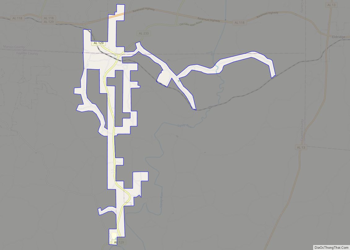
Online Interactive Map
Click on ![]() to view map in "full screen" mode.
to view map in "full screen" mode.
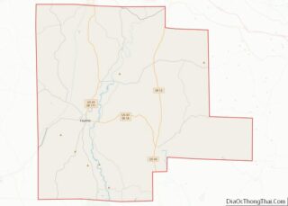
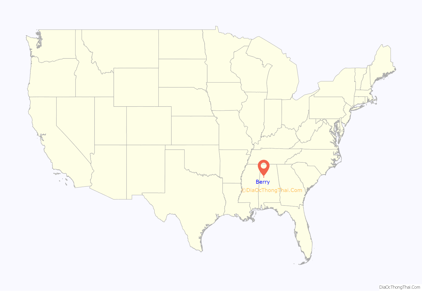
Berry location map. Where is Berry town?
History
The town was named for Thompson Berry, a local landowner. The town incorporated in 1883 as “Berry Station”. However, the first elections were not held until 1899 and the town did not appear on the U.S. Census until 1900. In the 1920s, it shortened its name to Berry. On April 27, 2011, the town was struck twice by tornadoes.
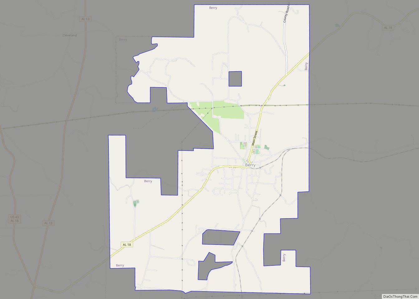
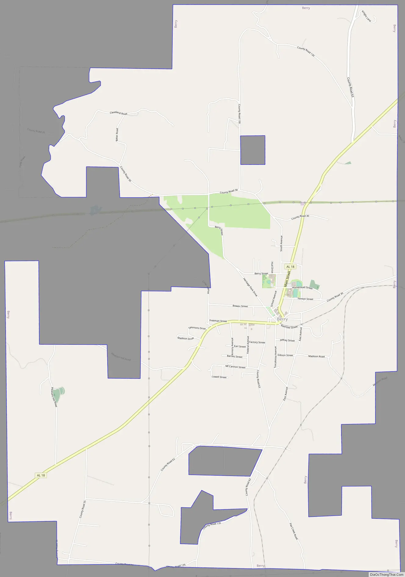
Berry Road Map
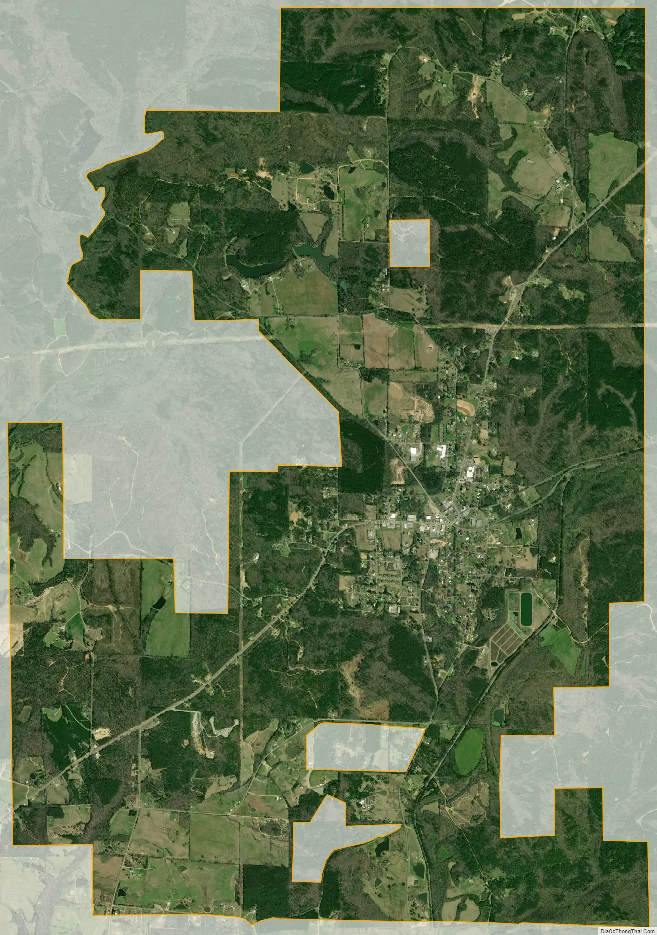
Berry city Satellite Map
Geography
Berry is located in southeastern Fayette County at 33°39′28″N 87°36′22″W / 33.65778°N 87.60611°W / 33.65778; -87.60611 (33.657836, -87.606084). Alabama State Route 18 runs through the town, leading west 17 miles (27 km) to Fayette, the county seat, and east 16 miles (26 km) to Oakman.
According to the U.S. Census Bureau, the town has a total area of 10.8 square miles (27.9 km), of which 0.006 square miles (0.015 km), or 0.05%, is water. The town lies between the North River and its tributary, Cedar Creek. It is part of the watershed of the Black Warrior River, the principal tributary of the Tombigbee River.
See also
Map of Alabama State and its subdivision:- Autauga
- Baldwin
- Barbour
- Bibb
- Blount
- Bullock
- Butler
- Calhoun
- Chambers
- Cherokee
- Chilton
- Choctaw
- Clarke
- Clay
- Cleburne
- Coffee
- Colbert
- Conecuh
- Coosa
- Covington
- Crenshaw
- Cullman
- Dale
- Dallas
- De Kalb
- Elmore
- Escambia
- Etowah
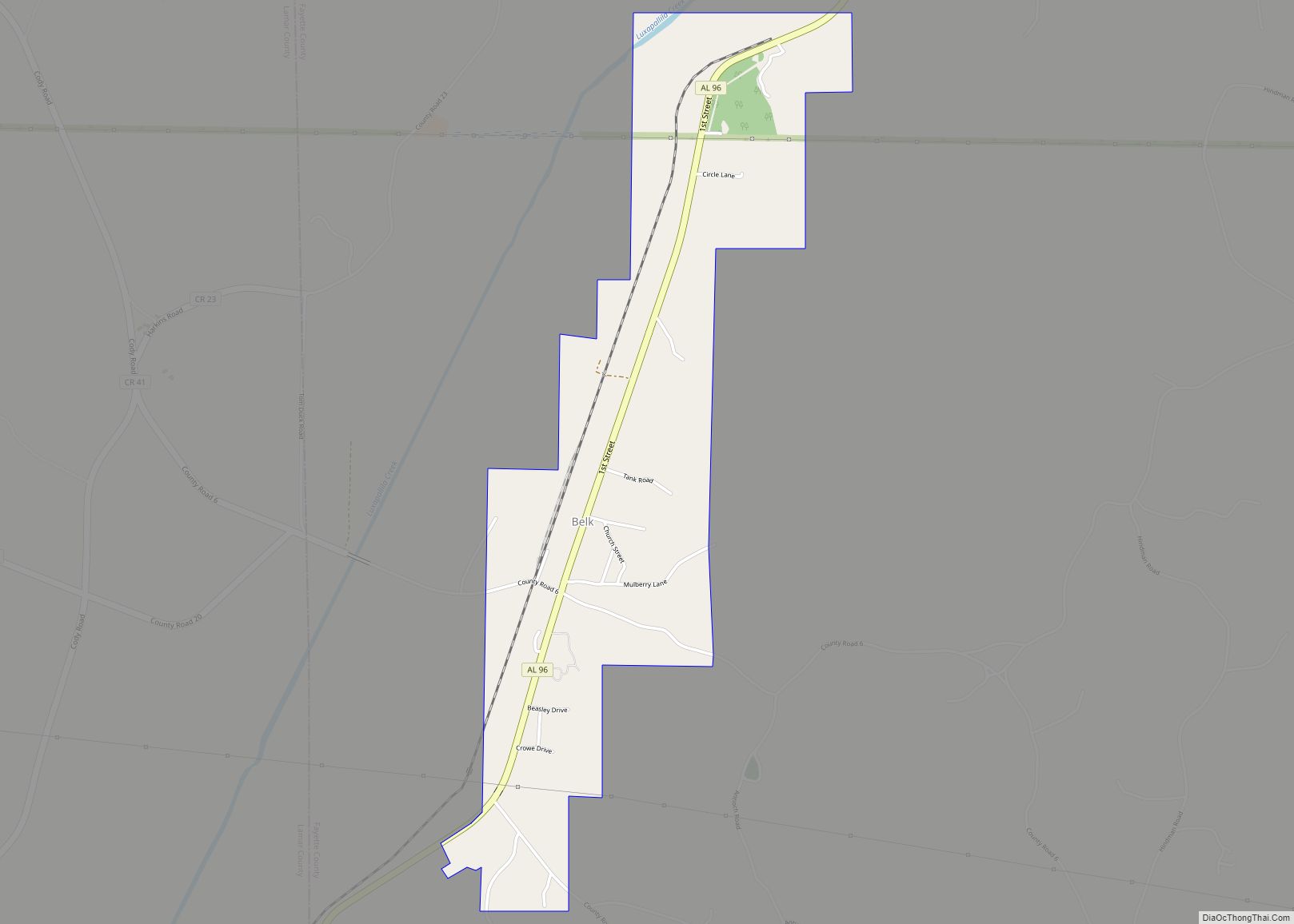
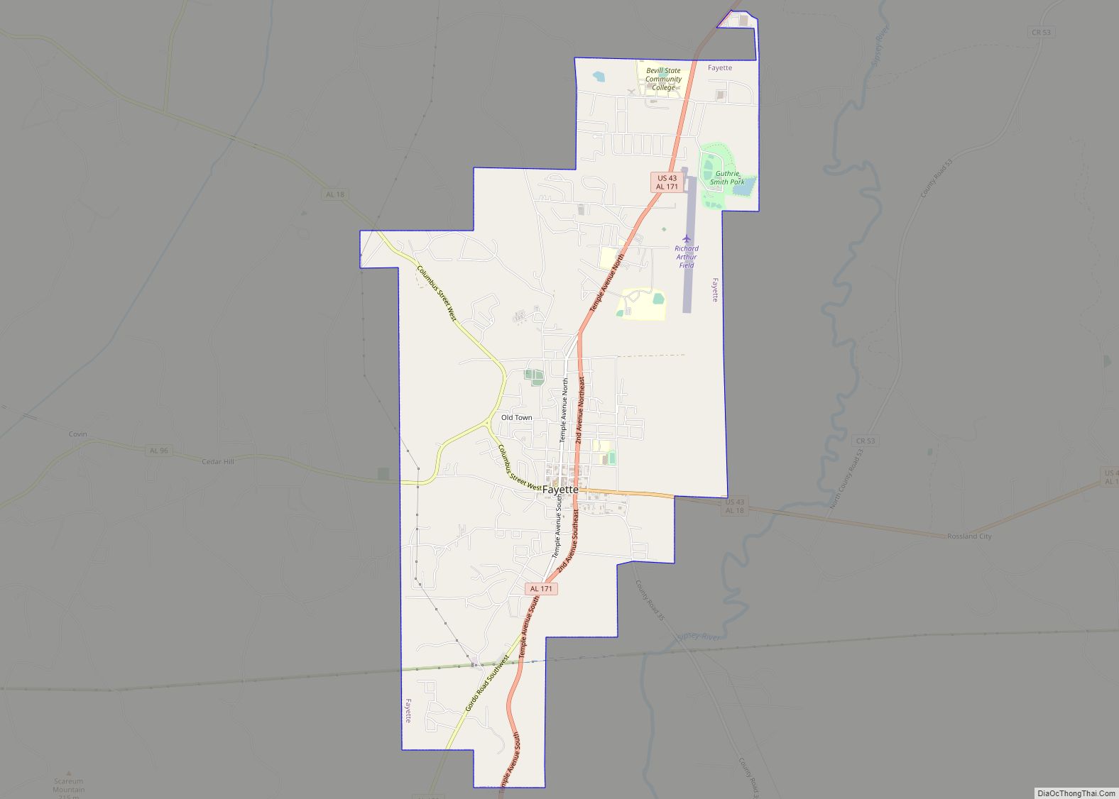
- Fayette
- Franklin
- Geneva
- Greene
- Hale
- Henry
- Houston
- Jackson
- Jefferson
- Lamar
- Lauderdale
- Lawrence
- Lee
- Limestone
- Lowndes
- Macon
- Madison
- Marengo
- Marion
- Marshall
- Mobile
- Monroe
- Montgomery
- Morgan
- Perry
- Pickens
- Pike
- Randolph
- Russell
- Saint Clair
- Shelby
- Sumter
- Talladega
- Tallapoosa
- Tuscaloosa
- Walker
- Washington
- Wilcox
- Winston
- Alabama
- Alaska
- Arizona
- Arkansas
- California
- Colorado
- Connecticut
- Delaware
- District of Columbia
- Florida
- Georgia
- Hawaii
- Idaho
- Illinois
- Indiana
- Iowa
- Kansas
- Kentucky
- Louisiana
- Maine
- Maryland
- Massachusetts
- Michigan
- Minnesota
- Mississippi
- Missouri
- Montana
- Nebraska
- Nevada
- New Hampshire
- New Jersey
- New Mexico
- New York
- North Carolina
- North Dakota
- Ohio
- Oklahoma
- Oregon
- Pennsylvania
- Rhode Island
- South Carolina
- South Dakota
- Tennessee
- Texas
- Utah
- Vermont
- Virginia
- Washington
- West Virginia
- Wisconsin
- Wyoming