Carlton is an census-designated place in Clarke County, Alabama, United States. As of the 2010 census, its population was 65. It was formerly known as Hal’s Lake. The Isaac Nettles Gravestones are located in Carlton in the Mount Nebo Baptist Church Cemetery. They are listed on the National Register of Historic Places. There was one convenience store in Carlton until 2009.
| Name: | Carlton CDP |
|---|---|
| LSAD Code: | 57 |
| LSAD Description: | CDP (suffix) |
| State: | Alabama |
| County: | Clarke County |
| Elevation: | 171 ft (52 m) |
| Total Area: | 4.52 sq mi (11.72 km²) |
| Land Area: | 4.52 sq mi (11.71 km²) |
| Water Area: | 0.01 sq mi (0.01 km²) |
| Total Population: | 46 |
| Population Density: | 10.18/sq mi (3.93/km²) |
| ZIP code: | 36515 |
| Area code: | 251 |
| FIPS code: | 0112112 |
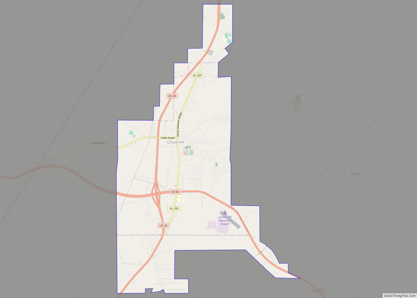
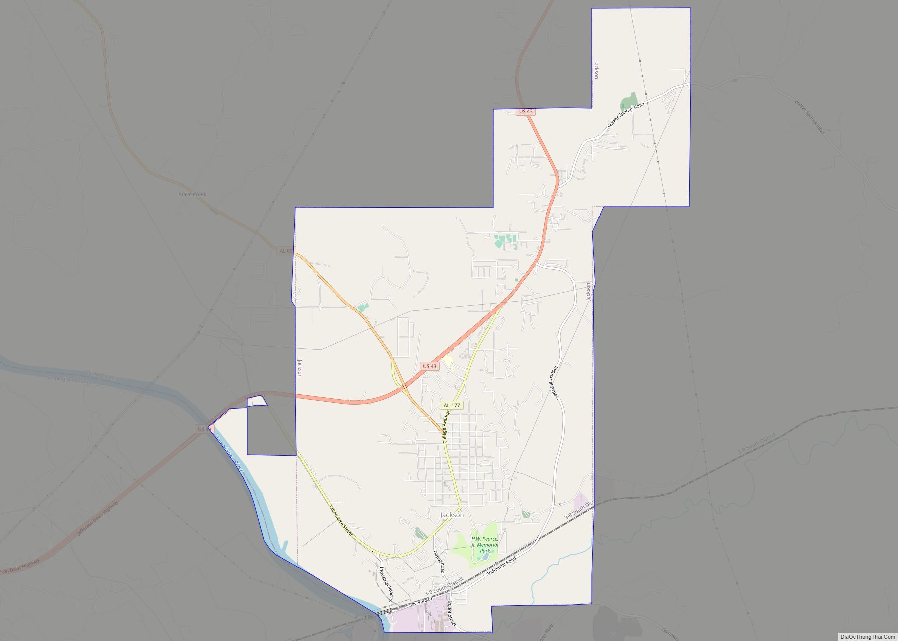
Online Interactive Map
Click on ![]() to view map in "full screen" mode.
to view map in "full screen" mode.
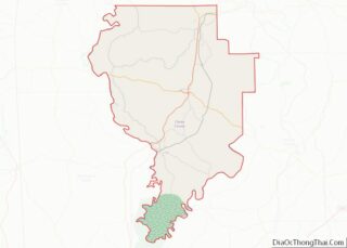
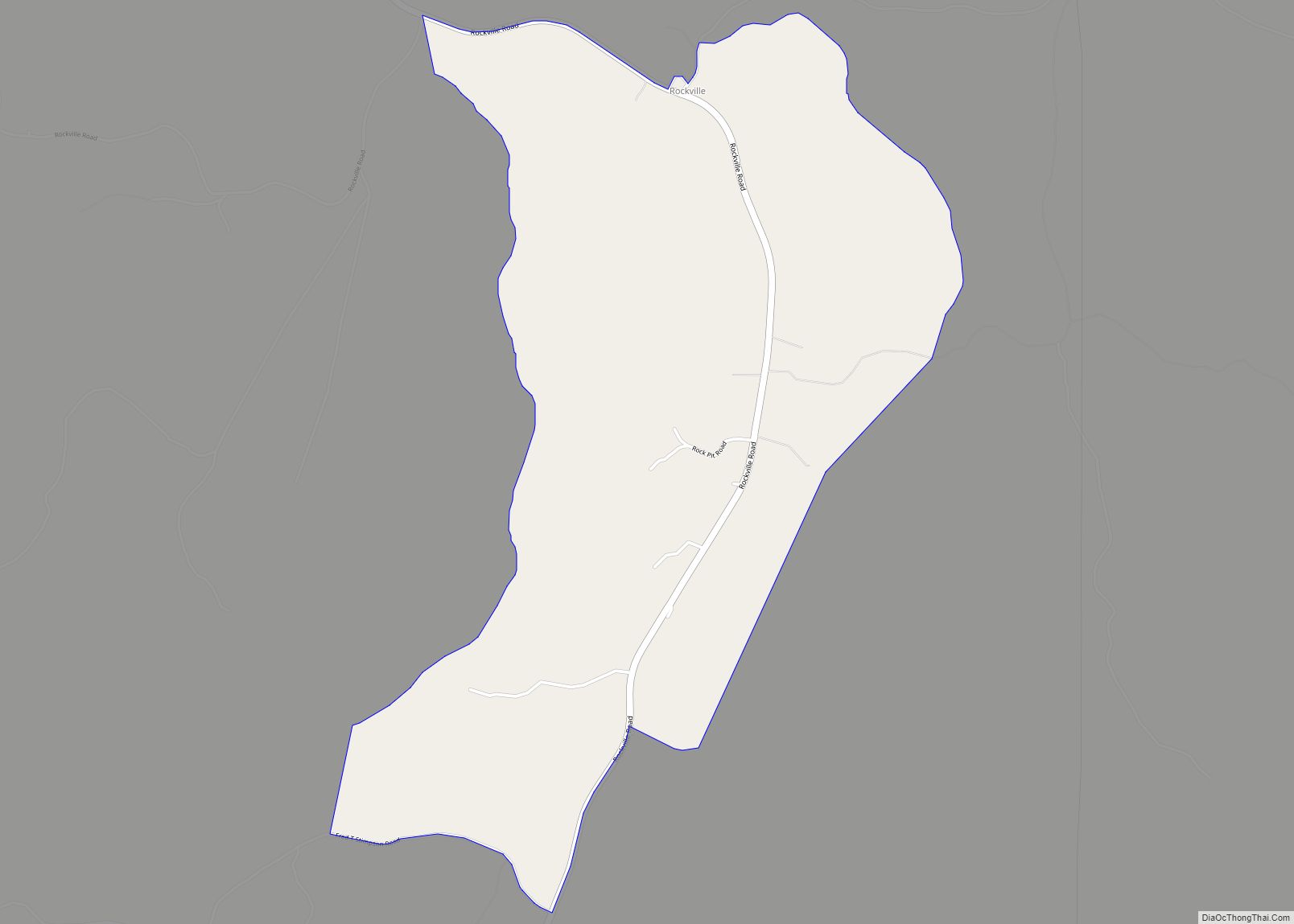
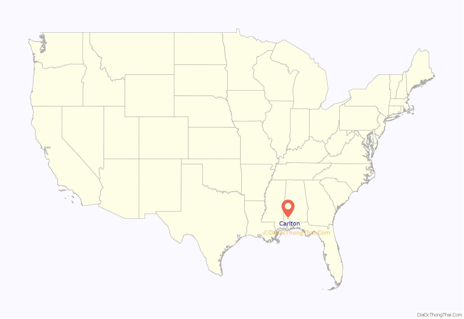
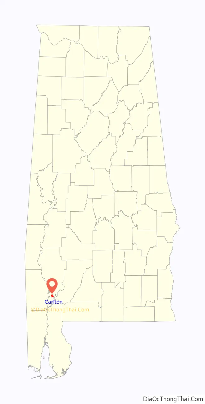
Carlton location map. Where is Carlton CDP?
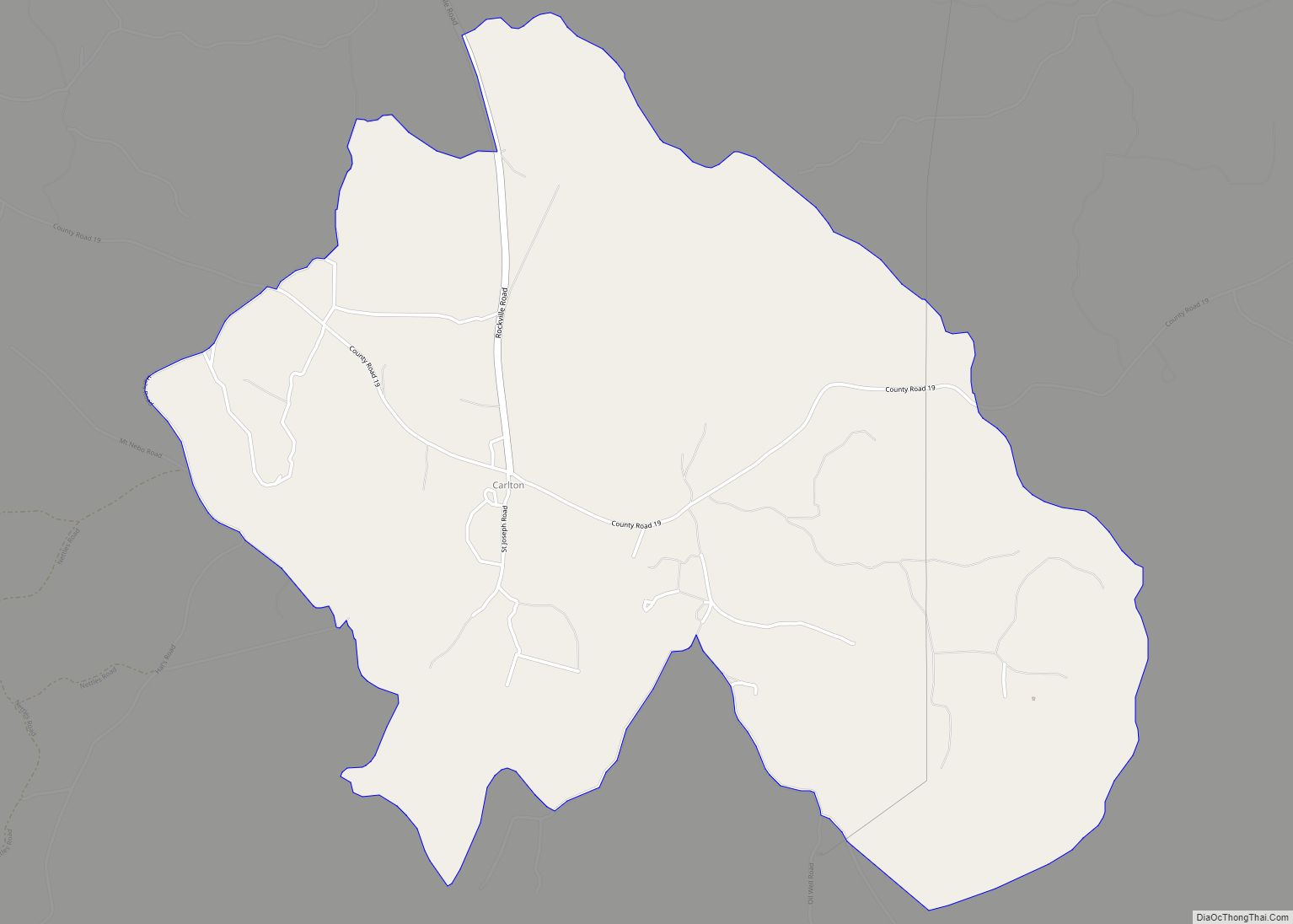
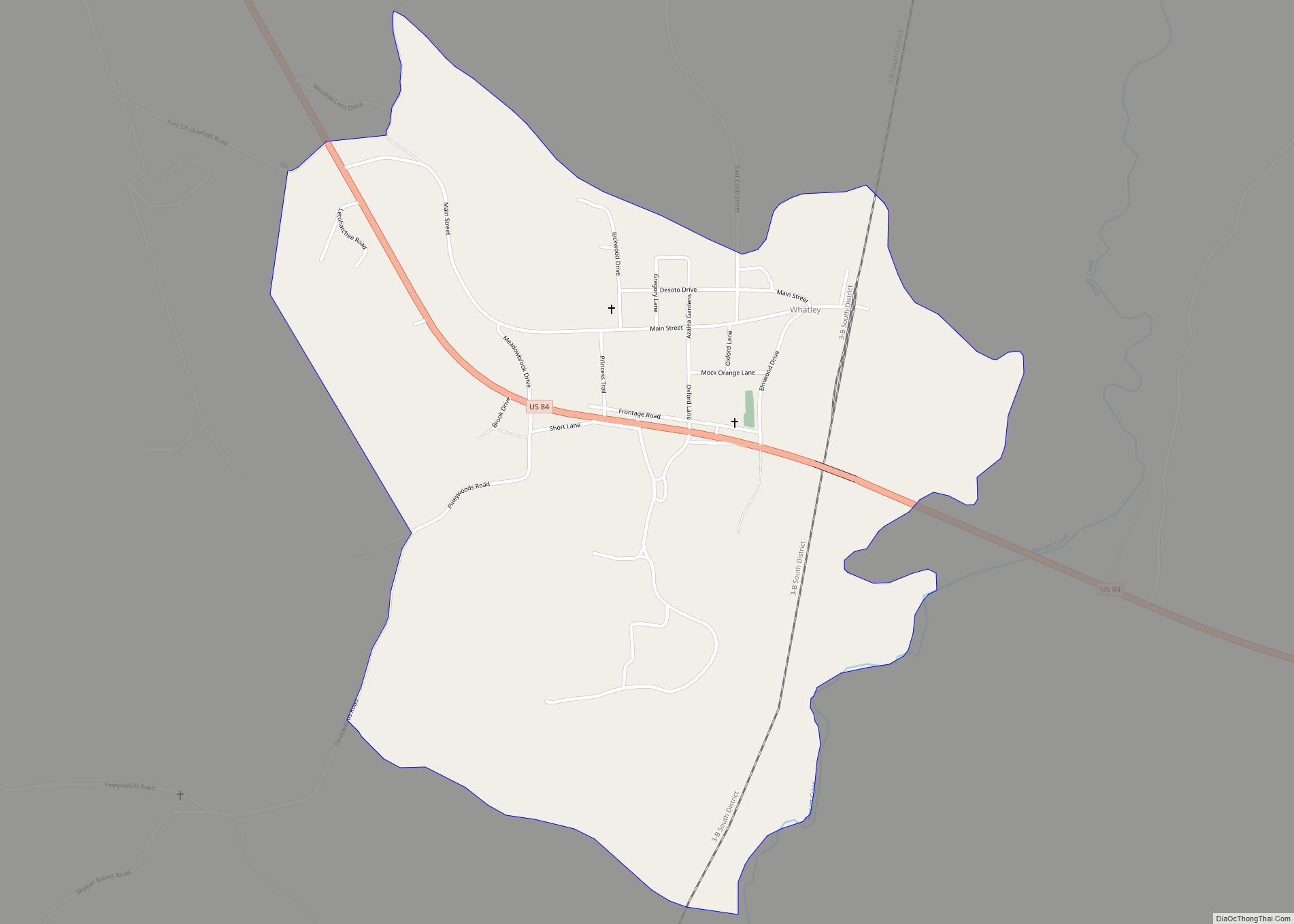
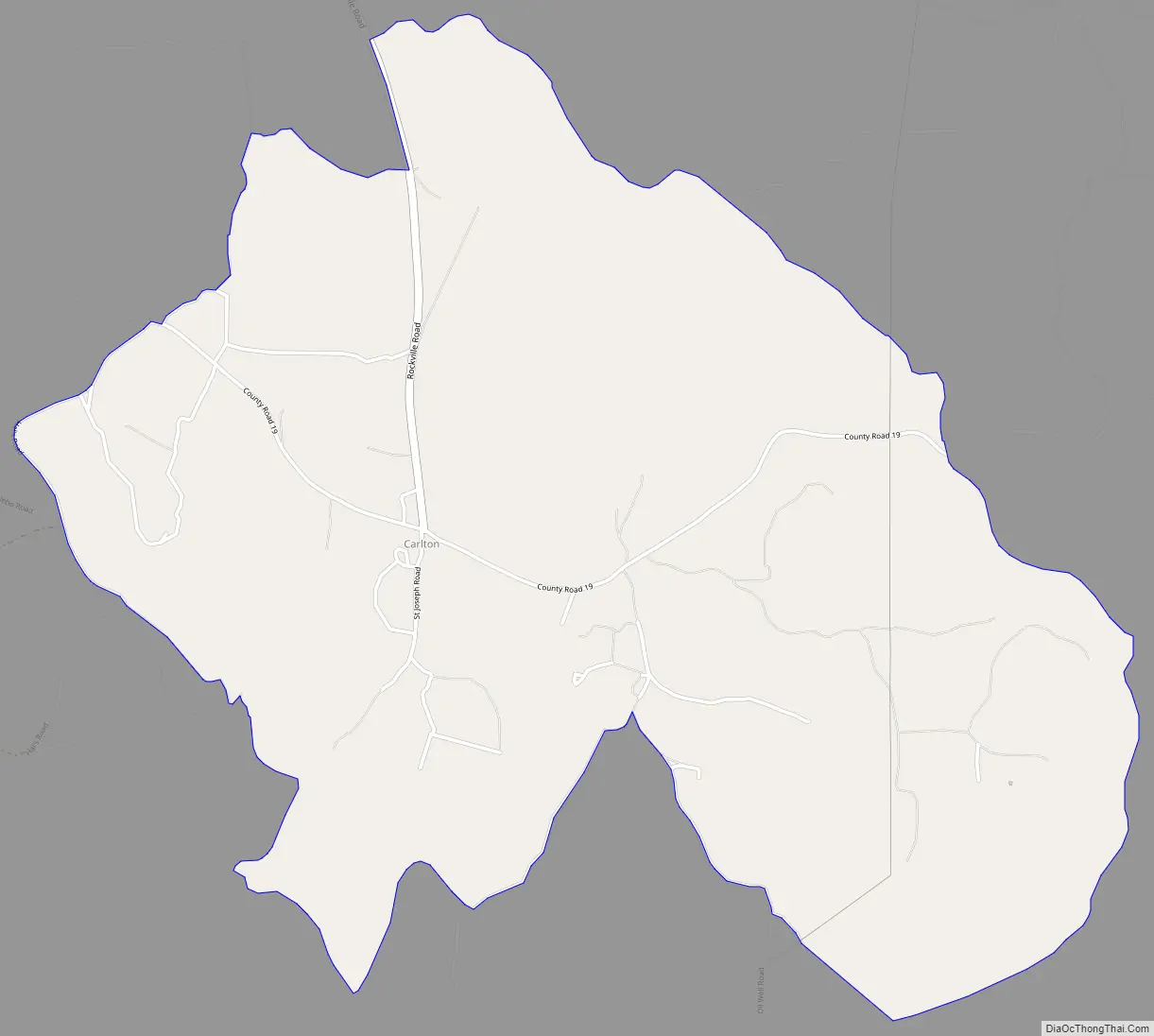
Carlton Road Map
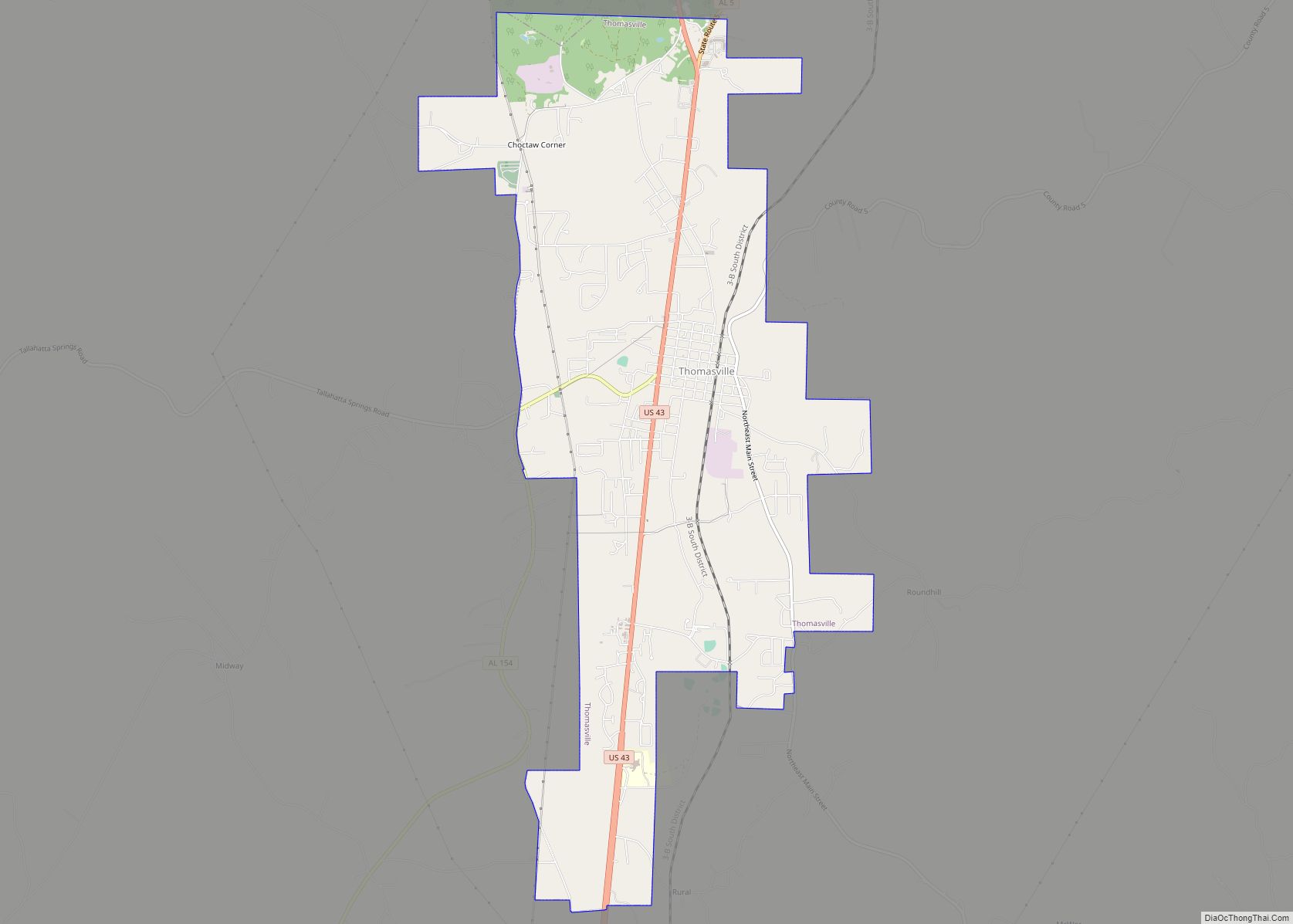
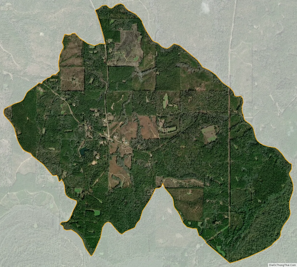
Carlton city Satellite Map
Geography
Carlton is located in southern Clarke County at 31°20′35″N 87°50′46″W / 31.343°N 87.846°W / 31.343; -87.846Coordinates: 31°20′35″N 87°50′46″W / 31.343°N 87.846°W / 31.343; -87.846 and has an elevation of 171 feet (52 m).
See also
Map of Alabama State and its subdivision:- Autauga
- Baldwin
- Barbour
- Bibb
- Blount
- Bullock
- Butler
- Calhoun
- Chambers
- Cherokee
- Chilton
- Choctaw
- Clarke
- Clay
- Cleburne
- Coffee
- Colbert
- Conecuh
- Coosa
- Covington
- Crenshaw
- Cullman
- Dale
- Dallas
- De Kalb
- Elmore
- Escambia
- Etowah
- Fayette
- Franklin
- Geneva
- Greene
- Hale
- Henry
- Houston
- Jackson
- Jefferson
- Lamar
- Lauderdale
- Lawrence
- Lee
- Limestone
- Lowndes
- Macon
- Madison
- Marengo
- Marion
- Marshall
- Mobile
- Monroe
- Montgomery
- Morgan
- Perry
- Pickens
- Pike
- Randolph
- Russell
- Saint Clair
- Shelby
- Sumter
- Talladega
- Tallapoosa
- Tuscaloosa
- Walker
- Washington
- Wilcox
- Winston
- Alabama
- Alaska
- Arizona
- Arkansas
- California
- Colorado
- Connecticut
- Delaware
- District of Columbia
- Florida
- Georgia
- Hawaii
- Idaho
- Illinois
- Indiana
- Iowa
- Kansas
- Kentucky
- Louisiana
- Maine
- Maryland
- Massachusetts
- Michigan
- Minnesota
- Mississippi
- Missouri
- Montana
- Nebraska
- Nevada
- New Hampshire
- New Jersey
- New Mexico
- New York
- North Carolina
- North Dakota
- Ohio
- Oklahoma
- Oregon
- Pennsylvania
- Rhode Island
- South Carolina
- South Dakota
- Tennessee
- Texas
- Utah
- Vermont
- Virginia
- Washington
- West Virginia
- Wisconsin
- Wyoming