Citronelle is a city on the northern border of Mobile County, Alabama, United States. At the 2020 census, the population was 3,946. It is included in the Mobile metropolitan statistical area and is about 34 miles (55 km) north of Mobile.
| Name: | Citronelle city |
|---|---|
| LSAD Code: | 25 |
| LSAD Description: | city (suffix) |
| State: | Alabama |
| County: | Mobile County |
| Elevation: | 312 ft (95 m) |
| Total Area: | 26.12 sq mi (67.65 km²) |
| Land Area: | 25.84 sq mi (66.94 km²) |
| Water Area: | 0.28 sq mi (0.71 km²) |
| Total Population: | 3,946 |
| Population Density: | 152.68/sq mi (58.95/km²) |
| ZIP code: | 36522 |
| Area code: | 251 |
| FIPS code: | 0115064 |
| GNISfeature ID: | 0116155 |
| Website: | www.cityofcitronelle.com |
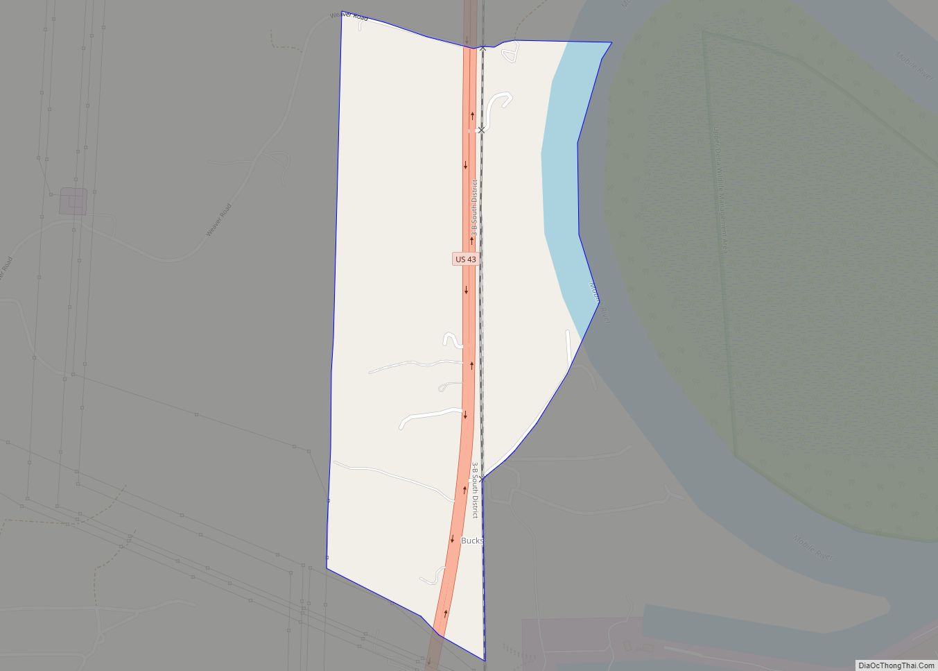
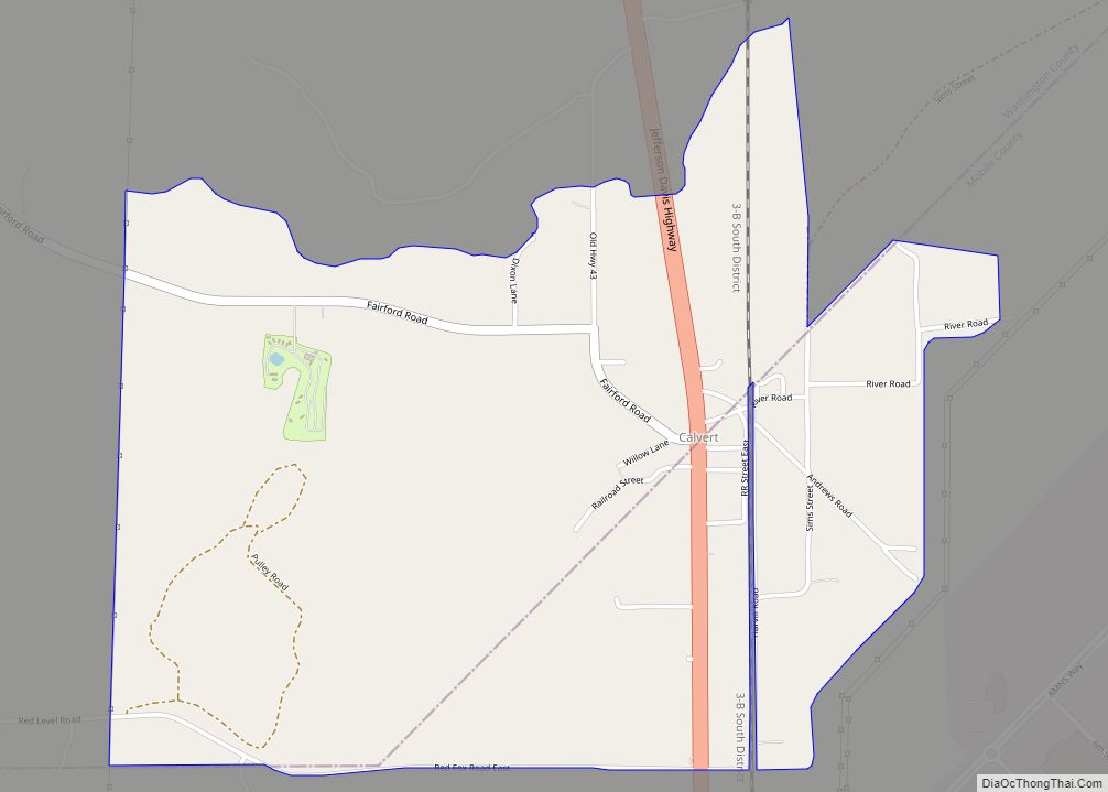
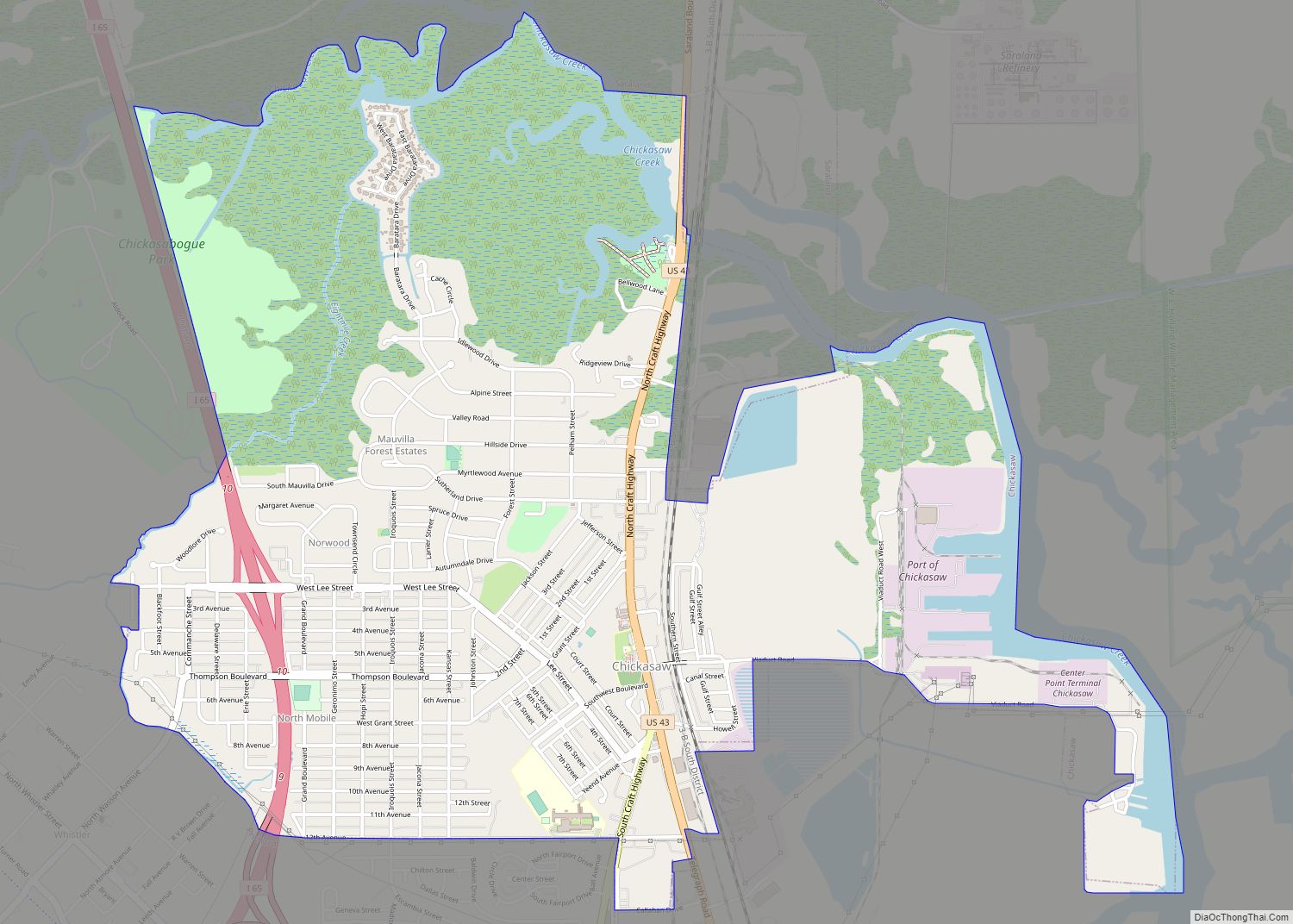
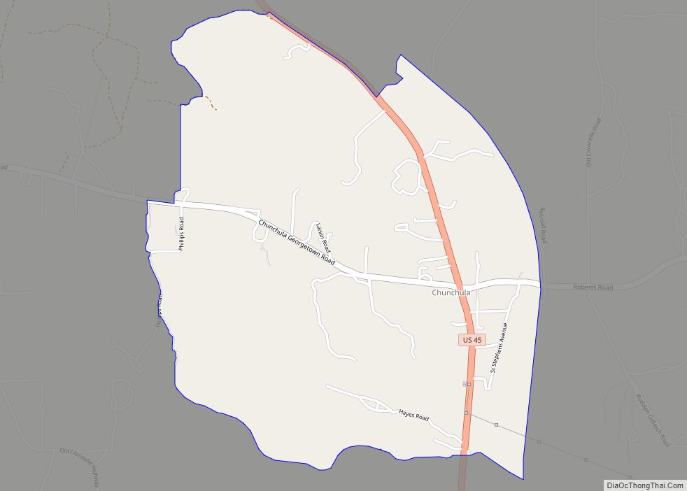
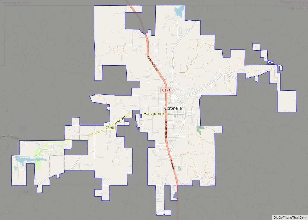
Online Interactive Map
Click on ![]() to view map in "full screen" mode.
to view map in "full screen" mode.
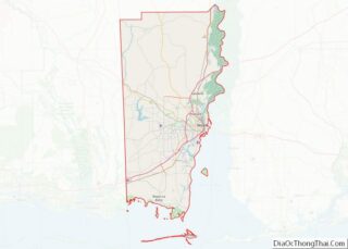
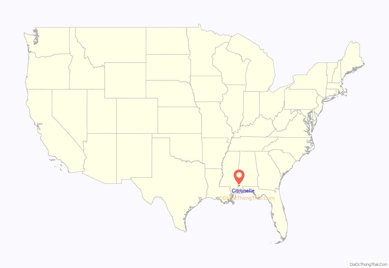
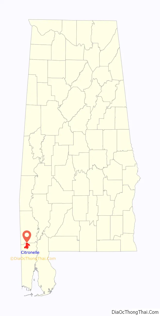
Citronelle location map. Where is Citronelle city?
History
The area was inhabited by indigenous peoples for thousands of years. By the time of European contact, the historic Choctaw and Creek people hunted in the area.
The first known European explorers of this area were French in the 18th century. They learned that the land had healing herbs and mineral springs. The area was settled in 1811 and established as a jurisdiction (incorporated) in 1892. The name “Citronelle” is French and is derived from the citronella plant. In the late 19th century, the town became a popular resort destination because of the climate, herbs, and healing waters. Many hotels were built to accommodate the surge of visitors.
On May 4, 1865, one of the last significant Confederate armies was surrendered by Lieutenant General Richard Taylor under the “Surrender Oak”. This was the third in the series of five major surrenders of armies that ended the war. The two previous surrenders occurred at Appomattox Court House, Virginia, between Confederate General Robert E. Lee and US General Ulysses S. Grant; and the second and largest at Bennett Place near Durham, North Carolina between US General William T. Sherman and Confederate General Joseph E. Johnston.
A living history/reenactment of the surrender occurs each year in Citronelle. The historic “Surrender Oak” no longer stands, as it was destroyed by a hurricane in 1902.
In 1955, oil was discovered in the area. Today Citronelle is known as the oil capital of Alabama.
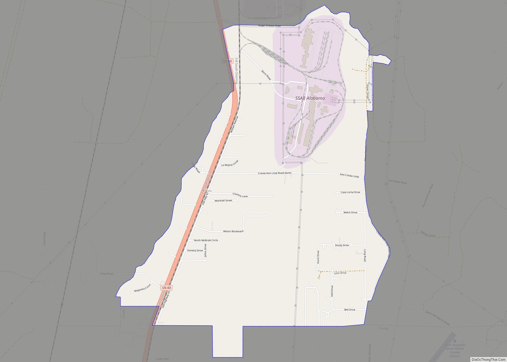
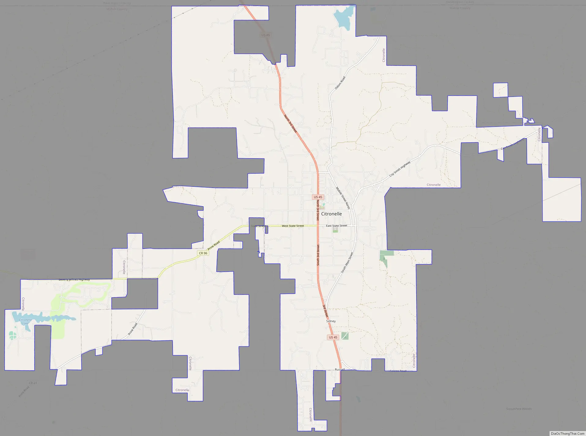
Citronelle Road Map
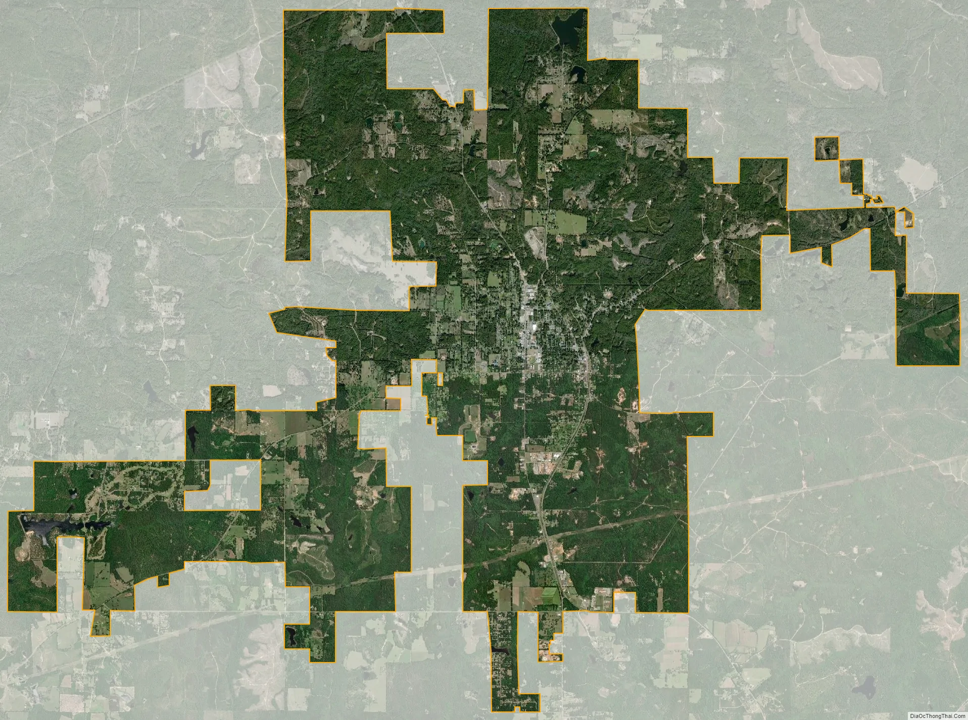
Citronelle city Satellite Map
Geography
Citronelle is located in northern Mobile County at 31°05′34″N 88°14′40″W / 31.092653°N 88.244315°W / 31.092653; -88.244315. The northern border of the city is at the Washington County line. U.S. Route 45 runs from north to south through the city, to the west of the downtown area. Via US 45, downtown Mobile is 34 miles (55 km) to the south, and State Line, Mississippi is 30 miles (48 km) to the northwest.
According to the U.S. Census Bureau, the city of Citronelle has a total area of 26.1 square miles (68 km), of which 25.8 square miles (67 km) are land and 0.3 square miles (0.78 km), or 1.06%, are water.
See also
Map of Alabama State and its subdivision:- Autauga
- Baldwin
- Barbour
- Bibb
- Blount
- Bullock
- Butler
- Calhoun
- Chambers
- Cherokee
- Chilton
- Choctaw
- Clarke
- Clay
- Cleburne
- Coffee
- Colbert
- Conecuh
- Coosa
- Covington
- Crenshaw
- Cullman
- Dale
- Dallas
- De Kalb
- Elmore
- Escambia
- Etowah
- Fayette
- Franklin
- Geneva
- Greene
- Hale
- Henry
- Houston
- Jackson
- Jefferson
- Lamar
- Lauderdale
- Lawrence
- Lee
- Limestone
- Lowndes
- Macon
- Madison
- Marengo
- Marion
- Marshall
- Mobile
- Monroe
- Montgomery
- Morgan
- Perry
- Pickens
- Pike
- Randolph
- Russell
- Saint Clair
- Shelby
- Sumter
- Talladega
- Tallapoosa
- Tuscaloosa
- Walker
- Washington
- Wilcox
- Winston
- Alabama
- Alaska
- Arizona
- Arkansas
- California
- Colorado
- Connecticut
- Delaware
- District of Columbia
- Florida
- Georgia
- Hawaii
- Idaho
- Illinois
- Indiana
- Iowa
- Kansas
- Kentucky
- Louisiana
- Maine
- Maryland
- Massachusetts
- Michigan
- Minnesota
- Mississippi
- Missouri
- Montana
- Nebraska
- Nevada
- New Hampshire
- New Jersey
- New Mexico
- New York
- North Carolina
- North Dakota
- Ohio
- Oklahoma
- Oregon
- Pennsylvania
- Rhode Island
- South Carolina
- South Dakota
- Tennessee
- Texas
- Utah
- Vermont
- Virginia
- Washington
- West Virginia
- Wisconsin
- Wyoming