Coffeeville is a town in Clarke County, Alabama, United States. At the 2020 census, the population was 263.
| Name: | Coffeeville town |
|---|---|
| LSAD Code: | 43 |
| LSAD Description: | town (suffix) |
| State: | Alabama |
| County: | Clarke County |
| Elevation: | 174 ft (53 m) |
| Total Area: | 4.52 sq mi (11.71 km²) |
| Land Area: | 4.52 sq mi (11.71 km²) |
| Water Area: | 0.00 sq mi (0.00 km²) |
| Total Population: | 263 |
| Population Density: | 58.19/sq mi (22.47/km²) |
| ZIP code: | 36524 |
| Area code: | 251 |
| FIPS code: | 0116264 |
| GNISfeature ID: | 0116356 |
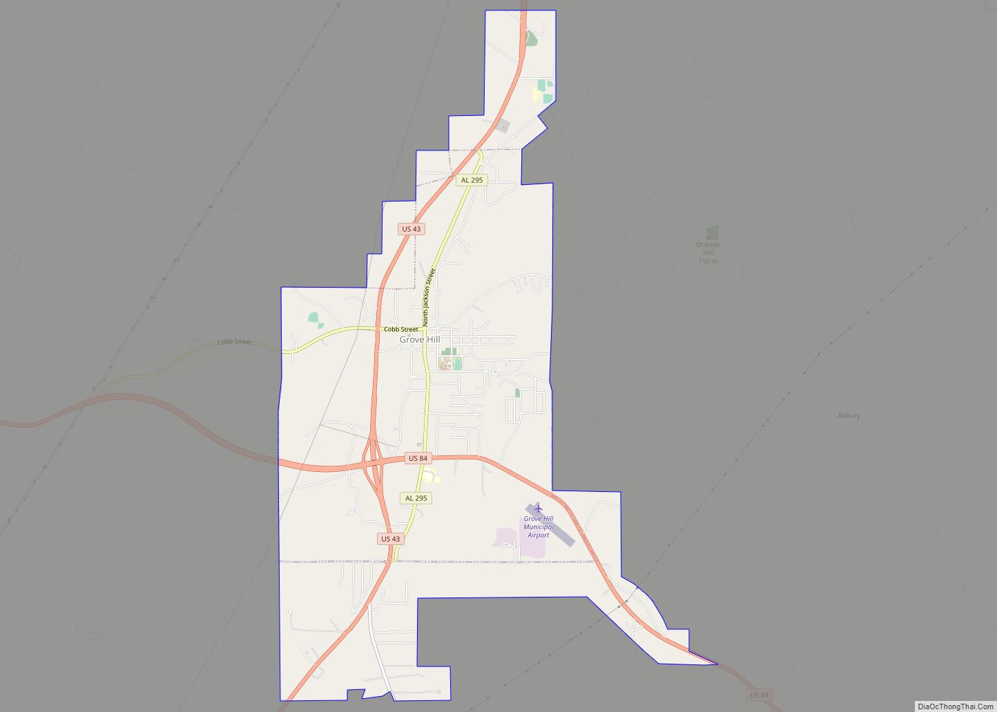
Online Interactive Map
Click on ![]() to view map in "full screen" mode.
to view map in "full screen" mode.
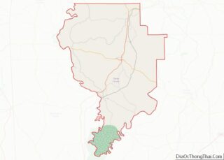
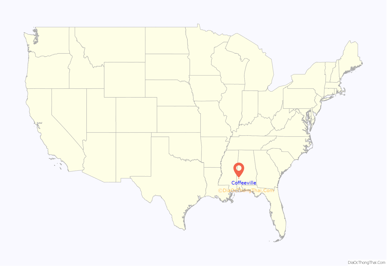
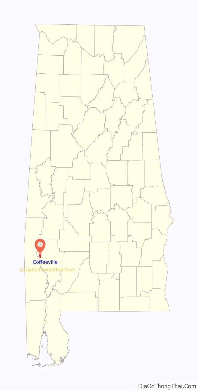
Coffeeville location map. Where is Coffeeville town?
History
The town of Coffeeville was incorporated in 1817.
In 1892, Coffeeville was the site for a violent confrontation around economic and racial divides that later became known as the Mitcham War.
In 1939, racial violence in Coffeeville was brought to the attention of President Franklin D. Roosevelt after a near-lynching in which the mayor of Coffeeville was complicit.
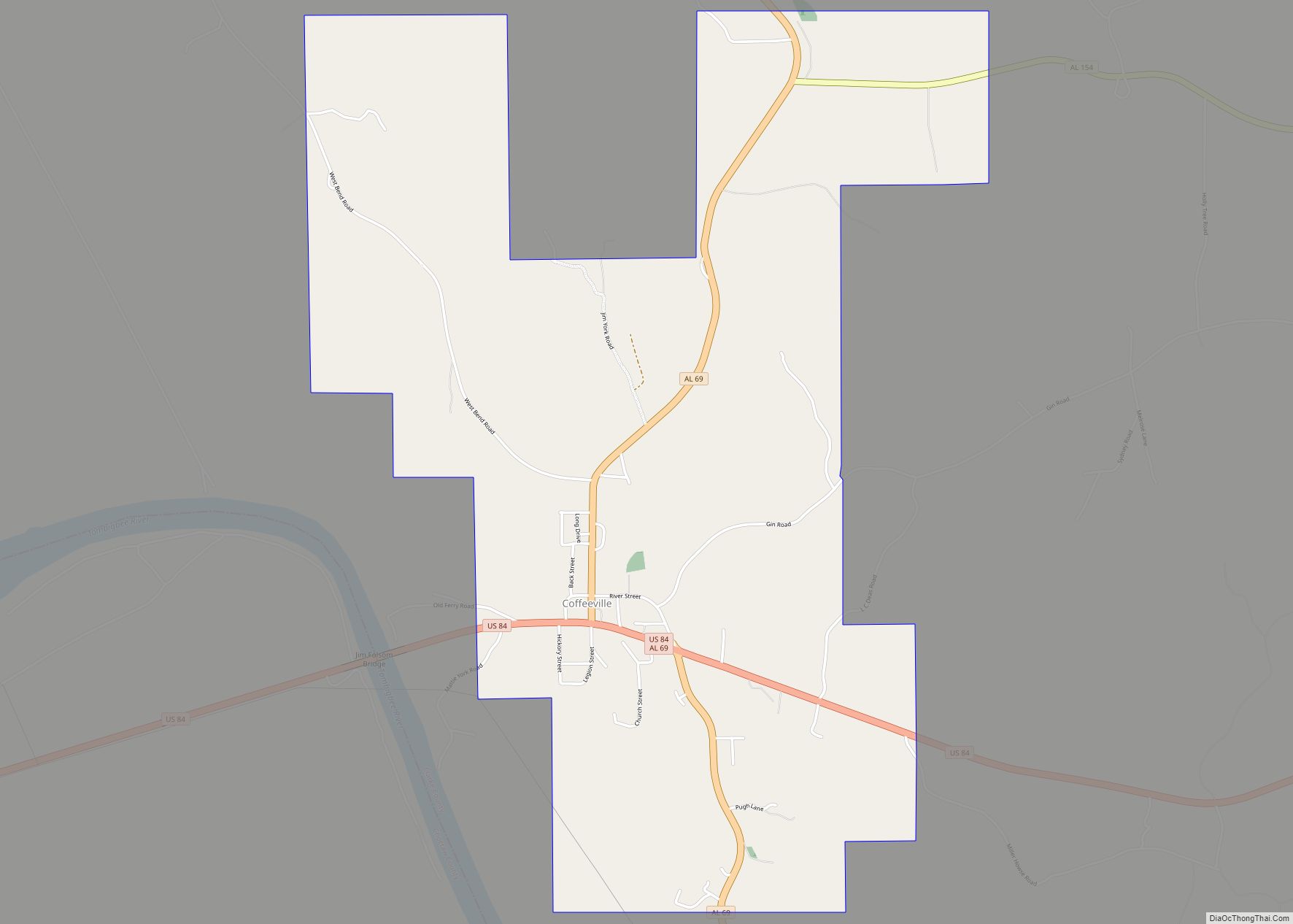
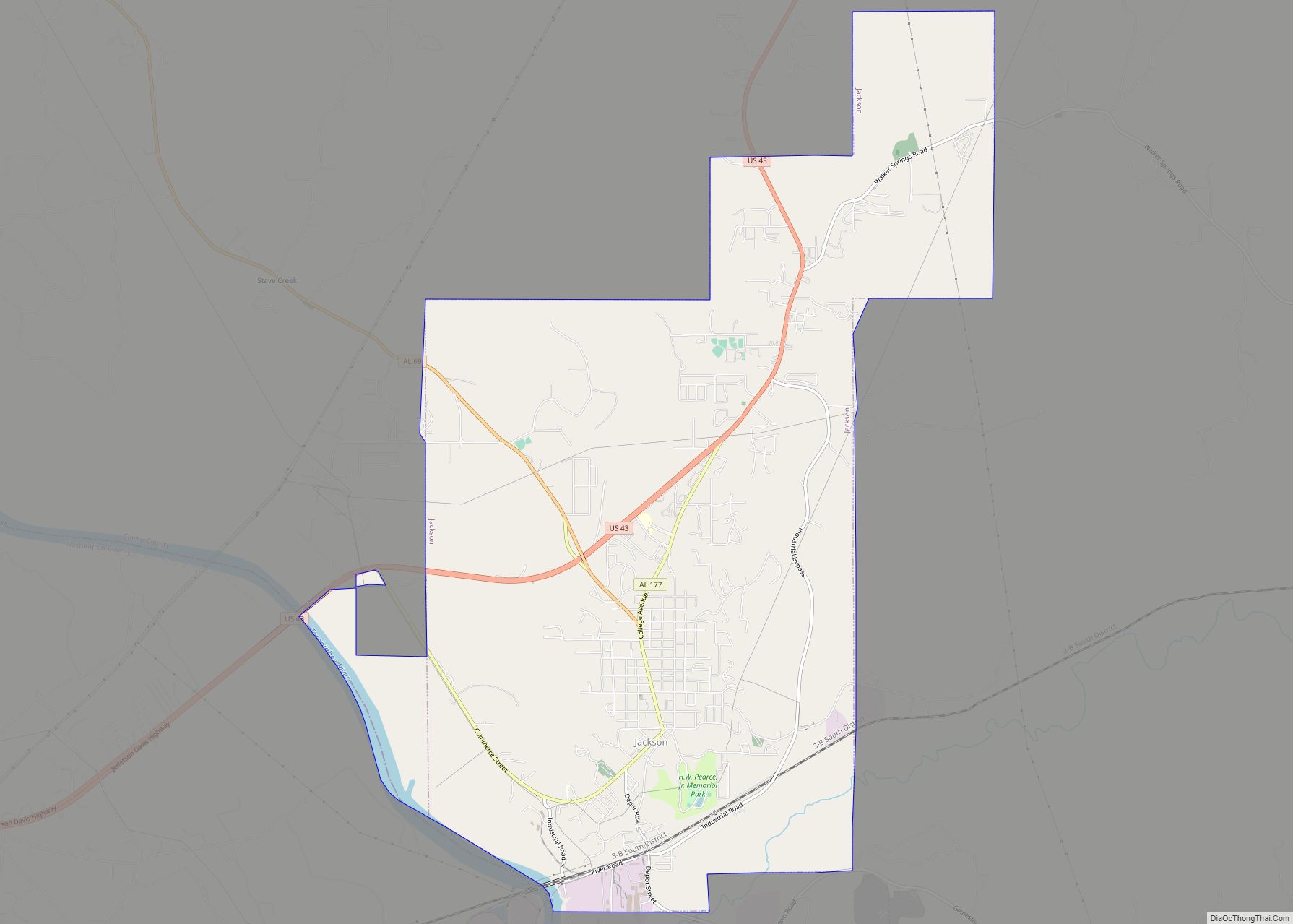
Coffeeville Road Map
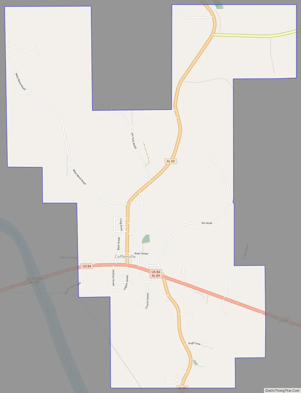
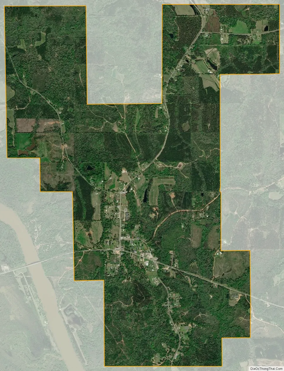
Coffeeville city Satellite Map
Geography
Coffeeville is located in northwestern Clarke County at 31°45’40.543″ North, 88°5’20.940″ West (31.761262, -88.089150), on high ground on the east side of the Tombigbee River.
According to the U.S. Census Bureau, the town has a total area of 4.5 square miles (11.7 km), all land.
See also
Map of Alabama State and its subdivision:- Autauga
- Baldwin
- Barbour
- Bibb
- Blount
- Bullock
- Butler
- Calhoun
- Chambers
- Cherokee
- Chilton
- Choctaw
- Clarke
- Clay
- Cleburne
- Coffee
- Colbert
- Conecuh
- Coosa
- Covington
- Crenshaw
- Cullman
- Dale
- Dallas
- De Kalb
- Elmore
- Escambia
- Etowah
- Fayette
- Franklin
- Geneva
- Greene
- Hale
- Henry
- Houston
- Jackson
- Jefferson
- Lamar
- Lauderdale
- Lawrence
- Lee
- Limestone
- Lowndes
- Macon
- Madison
- Marengo
- Marion
- Marshall
- Mobile
- Monroe
- Montgomery
- Morgan
- Perry
- Pickens
- Pike
- Randolph
- Russell
- Saint Clair
- Shelby
- Sumter
- Talladega
- Tallapoosa
- Tuscaloosa
- Walker
- Washington
- Wilcox
- Winston
- Alabama
- Alaska
- Arizona
- Arkansas
- California
- Colorado
- Connecticut
- Delaware
- District of Columbia
- Florida
- Georgia
- Hawaii
- Idaho
- Illinois
- Indiana
- Iowa
- Kansas
- Kentucky
- Louisiana
- Maine
- Maryland
- Massachusetts
- Michigan
- Minnesota
- Mississippi
- Missouri
- Montana
- Nebraska
- Nevada
- New Hampshire
- New Jersey
- New Mexico
- New York
- North Carolina
- North Dakota
- Ohio
- Oklahoma
- Oregon
- Pennsylvania
- Rhode Island
- South Carolina
- South Dakota
- Tennessee
- Texas
- Utah
- Vermont
- Virginia
- Washington
- West Virginia
- Wisconsin
- Wyoming