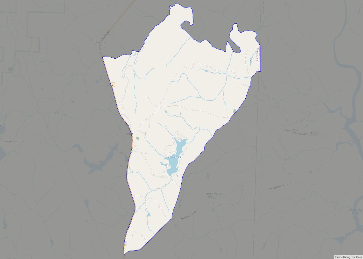
Delta is a census-designated place and unincorporated community in Clay County, Alabama, United States. Its population was 260 as of the 2020 census.
| Name: | Delta CDP |
|---|---|
| LSAD Code: | 57 |
| LSAD Description: | CDP (suffix) |
| State: | Alabama |
| County: | Clay County |
| Elevation: | 1,109 ft (338 m) |
| Total Area: | 7.89 sq mi (20.44 km²) |
| Land Area: | 7.79 sq mi (20.17 km²) |
| Water Area: | 0.10 sq mi (0.27 km²) |
| Total Population: | 260 |
| Population Density: | 33.39/sq mi (12.89/km²) |
| Area code: | 256 & 938 |
| FIPS code: | 0120272 |
| GNISfeature ID: | 159494 |
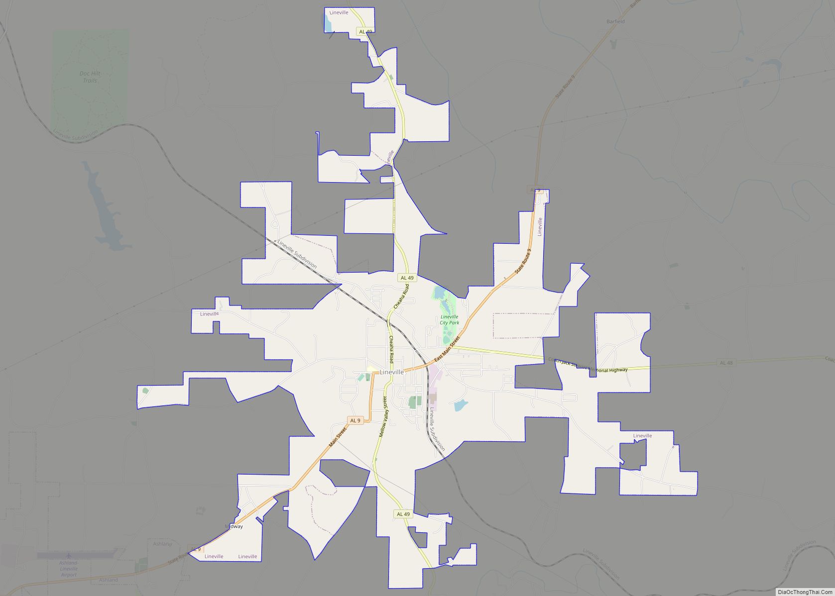
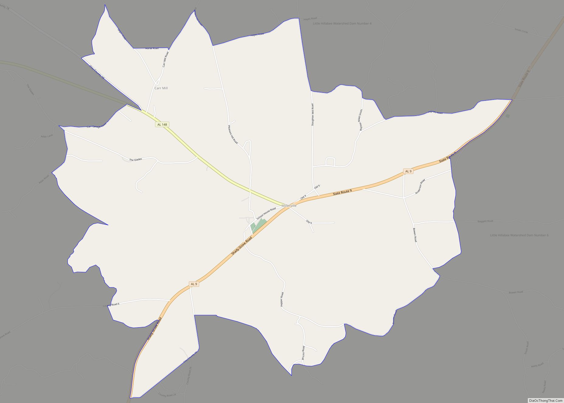
Online Interactive Map
Click on ![]() to view map in "full screen" mode.
to view map in "full screen" mode.
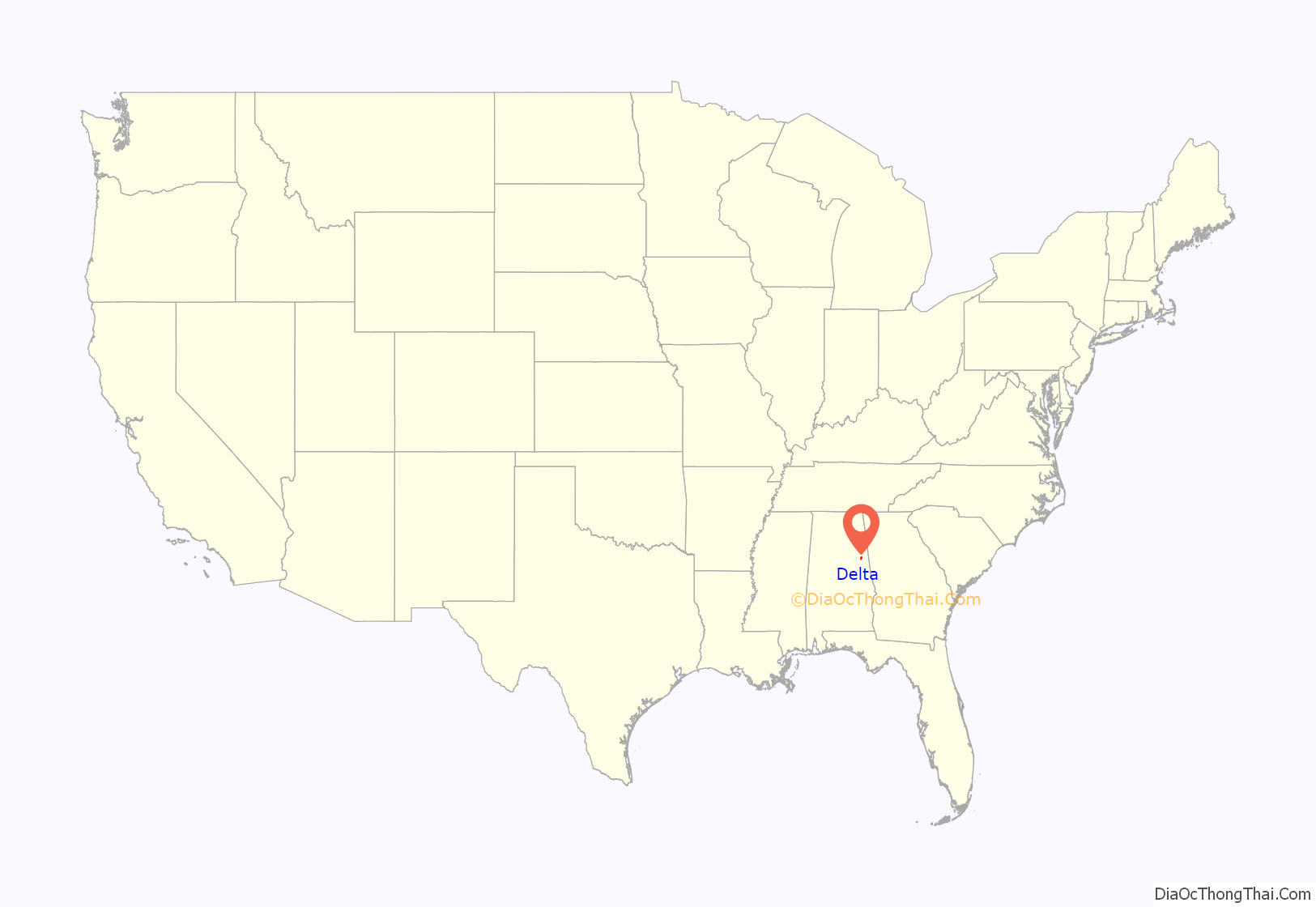
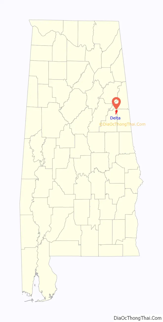
Delta location map. Where is Delta CDP?
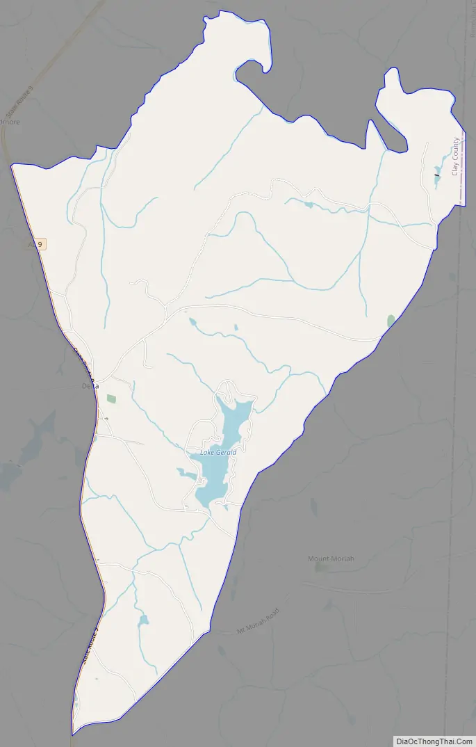
Delta Road Map
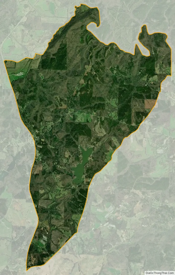
Delta city Satellite Map
Geography
Climate
The climate in Delta is characterized by hot, humid summers and generally mild to cool winters. According to the Köppen Climate Classification system, this area has a humid subtropical climate, abbreviated “Cfa” on climate maps.
See also
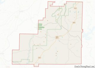
Map of Alabama State and its subdivision:- Autauga
- Baldwin
- Barbour
- Bibb
- Blount
- Bullock
- Butler
- Calhoun
- Chambers
- Cherokee
- Chilton
- Choctaw
- Clarke
- Clay
- Cleburne
- Coffee
- Colbert
- Conecuh
- Coosa
- Covington
- Crenshaw
- Cullman
- Dale
- Dallas
- De Kalb
- Elmore
- Escambia
- Etowah
- Fayette
- Franklin
- Geneva
- Greene
- Hale
- Henry
- Houston
- Jackson
- Jefferson
- Lamar
- Lauderdale
- Lawrence
- Lee
- Limestone
- Lowndes
- Macon
- Madison
- Marengo
- Marion
- Marshall
- Mobile
- Monroe
- Montgomery
- Morgan
- Perry
- Pickens
- Pike
- Randolph
- Russell
- Saint Clair
- Shelby
- Sumter
- Talladega
- Tallapoosa
- Tuscaloosa
- Walker
- Washington
- Wilcox
- Winston
- Alabama
- Alaska
- Arizona
- Arkansas
- California
- Colorado
- Connecticut
- Delaware
- District of Columbia
- Florida
- Georgia
- Hawaii
- Idaho
- Illinois
- Indiana
- Iowa
- Kansas
- Kentucky
- Louisiana
- Maine
- Maryland
- Massachusetts
- Michigan
- Minnesota
- Mississippi
- Missouri
- Montana
- Nebraska
- Nevada
- New Hampshire
- New Jersey
- New Mexico
- New York
- North Carolina
- North Dakota
- Ohio
- Oklahoma
- Oregon
- Pennsylvania
- Rhode Island
- South Carolina
- South Dakota
- Tennessee
- Texas
- Utah
- Vermont
- Virginia
- Washington
- West Virginia
- Wisconsin
- Wyoming