Fairview is a town in Cullman County, Alabama, United States. At the 2010 census the population was 446, down from 522 in 2000. It incorporated in 1968.
| Name: | Fairview town |
|---|---|
| LSAD Code: | 43 |
| LSAD Description: | town (suffix) |
| State: | Alabama |
| County: | Cullman County |
| Elevation: | 938 ft (286 m) |
| Total Area: | 1.98 sq mi (5.13 km²) |
| Land Area: | 1.97 sq mi (5.09 km²) |
| Water Area: | 0.01 sq mi (0.03 km²) |
| Total Population: | 543 |
| Population Density: | 276.05/sq mi (106.61/km²) |
| FIPS code: | 0125384 |
| GNISfeature ID: | 0118132 |
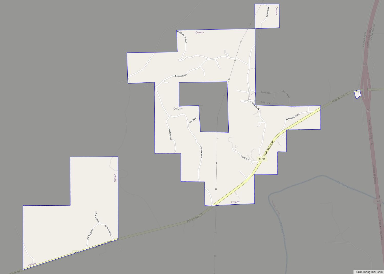
Online Interactive Map
Click on ![]() to view map in "full screen" mode.
to view map in "full screen" mode.
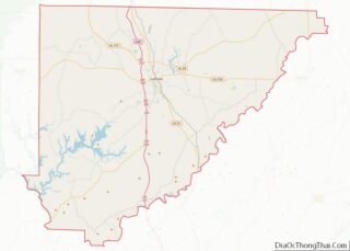
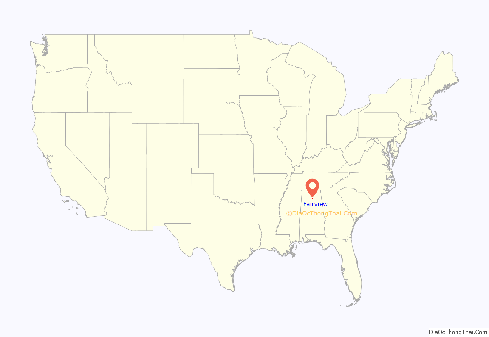
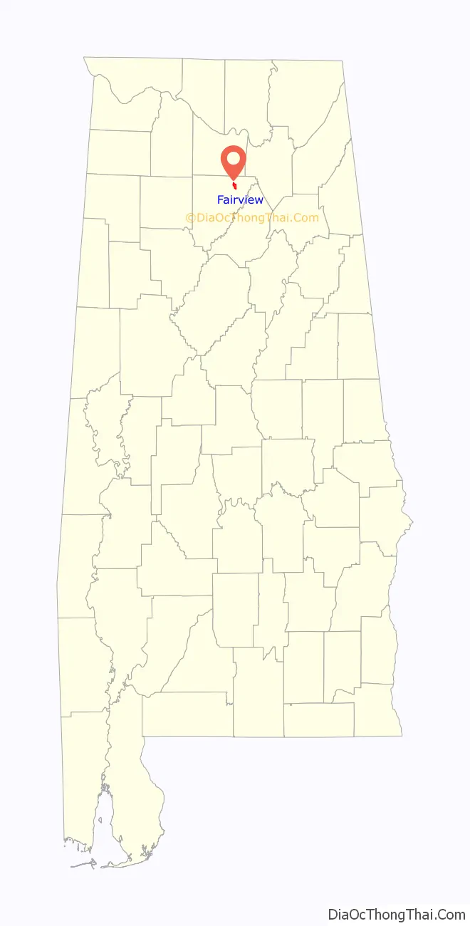
Fairview location map. Where is Fairview town?
History
Settled in the 1840s, what is now Fairview was originally known as “Lawrence Chapel.” The town began using its current name, after a local Methodist church, in the 1890s. By the early 1900s, the town was home to several mills and a popular resort hotel. The first high school was completed in 1923.
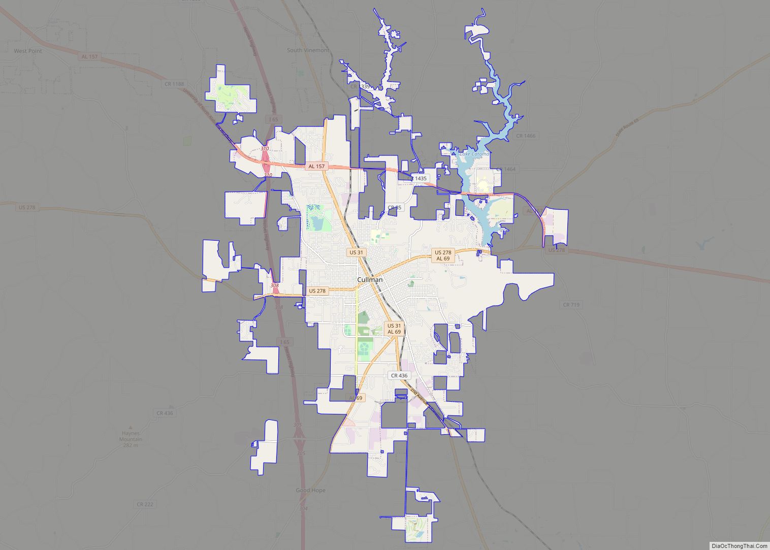
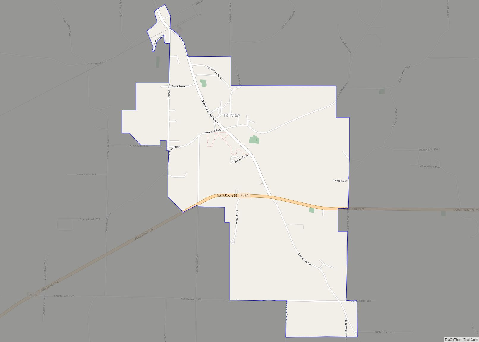
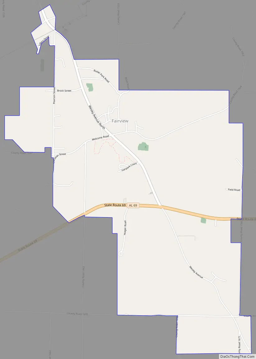
Fairview Road Map
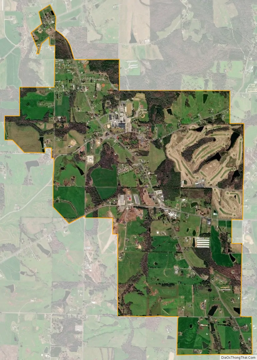
Fairview city Satellite Map
Geography
Fairview is located in northeastern Cullman County at 34°14′55″N 86°41′16″W / 34.24861°N 86.68778°W / 34.24861; -86.68778 (34.248717, -86.687761). It lies along State Route 69 between Cullman to the west and Arab to the east.
According to the U.S. Census Bureau, the town has a total area of 2.7 square miles (7.1 km), of which 0.015 square miles (0.04 km), or 0.57%, is water.
See also
Map of Alabama State and its subdivision:- Autauga
- Baldwin
- Barbour
- Bibb
- Blount
- Bullock
- Butler
- Calhoun
- Chambers
- Cherokee
- Chilton
- Choctaw
- Clarke
- Clay
- Cleburne
- Coffee
- Colbert
- Conecuh
- Coosa
- Covington
- Crenshaw
- Cullman
- Dale
- Dallas
- De Kalb
- Elmore
- Escambia
- Etowah
- Fayette
- Franklin
- Geneva
- Greene
- Hale
- Henry
- Houston
- Jackson
- Jefferson
- Lamar
- Lauderdale
- Lawrence
- Lee
- Limestone
- Lowndes
- Macon
- Madison
- Marengo
- Marion
- Marshall
- Mobile
- Monroe
- Montgomery
- Morgan
- Perry
- Pickens
- Pike
- Randolph
- Russell
- Saint Clair
- Shelby
- Sumter
- Talladega
- Tallapoosa
- Tuscaloosa
- Walker
- Washington
- Wilcox
- Winston
- Alabama
- Alaska
- Arizona
- Arkansas
- California
- Colorado
- Connecticut
- Delaware
- District of Columbia
- Florida
- Georgia
- Hawaii
- Idaho
- Illinois
- Indiana
- Iowa
- Kansas
- Kentucky
- Louisiana
- Maine
- Maryland
- Massachusetts
- Michigan
- Minnesota
- Mississippi
- Missouri
- Montana
- Nebraska
- Nevada
- New Hampshire
- New Jersey
- New Mexico
- New York
- North Carolina
- North Dakota
- Ohio
- Oklahoma
- Oregon
- Pennsylvania
- Rhode Island
- South Carolina
- South Dakota
- Tennessee
- Texas
- Utah
- Vermont
- Virginia
- Washington
- West Virginia
- Wisconsin
- Wyoming