Fayette is a city and the county seat of Fayette County, Alabama, United States. The population was 4,619 at the 2010 census, down from 4,922 at the 2000 census.
| Name: | Fayette city |
|---|---|
| LSAD Code: | 25 |
| LSAD Description: | city (suffix) |
| State: | Alabama |
| County: | Fayette County |
| Elevation: | 371 ft (113 m) |
| Total Area: | 8.63 sq mi (22.36 km²) |
| Land Area: | 8.55 sq mi (22.14 km²) |
| Water Area: | 0.08 sq mi (0.21 km²) |
| Total Population: | 4,285 |
| Population Density: | 501.17/sq mi (193.51/km²) |
| ZIP code: | 35555 |
| Area code: | 205, 659 |
| FIPS code: | 0125840 |
| GNISfeature ID: | 0157950 |
| Website: | fayetteal.org |
Online Interactive Map
Click on ![]() to view map in "full screen" mode.
to view map in "full screen" mode.
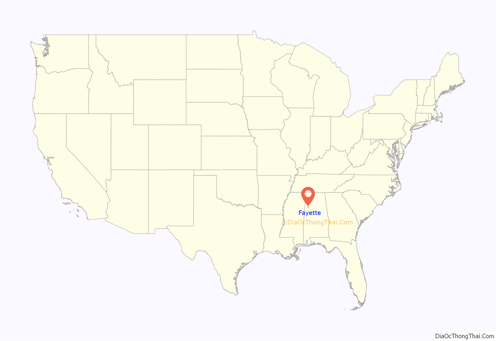
Fayette location map. Where is Fayette city?
History
Originally known as “La Fayette”, it incorporated on January 15, 1821. When Fayette County was created in 1824, the town’s name was officially changed to “Fayette Court House”, though it was also known as “Fayetteville”, which was the name shown on maps and on the U.S. Census in 1880 and 1890. It was officially shortened to “Fayette” in 1898.
In 1928, Victor and Lucy Patterson began manufacturing Golden Eagle Syrup in Fayette. The syrup is still produced locally in a manufacturing facility in downtown Fayette.
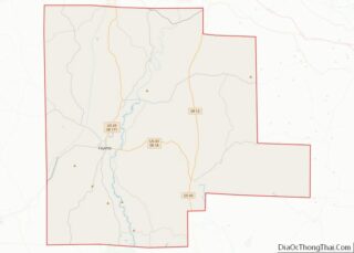
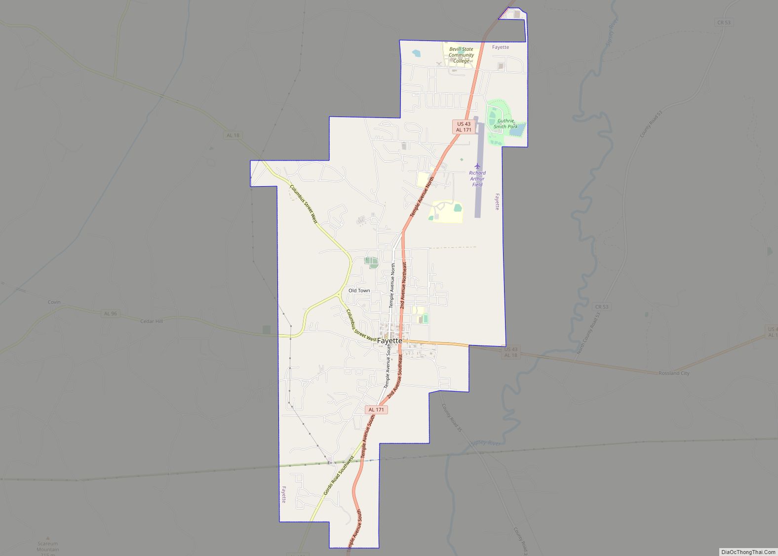
Fayette Road Map
Fayette city Satellite Map
Geography
Fayette is located in west-central Fayette County at 33°41′31″N 87°49′56″W / 33.69194°N 87.83222°W / 33.69194; -87.83222 (33.692068, -87.832358).
According to the U.S. Census Bureau, the city has a total area of 8.6 square miles (22.4 km), of which 8.5 square miles (22.1 km) is land and 0.1 square miles (0.2 km), or 0.95%, is water.
Climate
See also
Map of Alabama State and its subdivision:- Autauga
- Baldwin
- Barbour
- Bibb
- Blount
- Bullock
- Butler
- Calhoun
- Chambers
- Cherokee
- Chilton
- Choctaw
- Clarke
- Clay
- Cleburne
- Coffee
- Colbert
- Conecuh
- Coosa
- Covington
- Crenshaw
- Cullman
- Dale
- Dallas
- De Kalb
- Elmore
- Escambia
- Etowah
- Fayette
- Franklin
- Geneva
- Greene
- Hale
- Henry
- Houston
- Jackson
- Jefferson
- Lamar
- Lauderdale
- Lawrence
- Lee
- Limestone
- Lowndes
- Macon
- Madison
- Marengo
- Marion
- Marshall
- Mobile
- Monroe
- Montgomery
- Morgan
- Perry
- Pickens
- Pike
- Randolph
- Russell
- Saint Clair
- Shelby
- Sumter
- Talladega
- Tallapoosa
- Tuscaloosa
- Walker
- Washington
- Wilcox
- Winston
- Alabama
- Alaska
- Arizona
- Arkansas
- California
- Colorado
- Connecticut
- Delaware
- District of Columbia
- Florida
- Georgia
- Hawaii
- Idaho
- Illinois
- Indiana
- Iowa
- Kansas
- Kentucky
- Louisiana
- Maine
- Maryland
- Massachusetts
- Michigan
- Minnesota
- Mississippi
- Missouri
- Montana
- Nebraska
- Nevada
- New Hampshire
- New Jersey
- New Mexico
- New York
- North Carolina
- North Dakota
- Ohio
- Oklahoma
- Oregon
- Pennsylvania
- Rhode Island
- South Carolina
- South Dakota
- Tennessee
- Texas
- Utah
- Vermont
- Virginia
- Washington
- West Virginia
- Wisconsin
- Wyoming
