Forkland is a town in Greene County, Alabama, United States. At the 2020 census, the population was 445. It was incorporated around 1974.
| Name: | Forkland town |
|---|---|
| LSAD Code: | 43 |
| LSAD Description: | town (suffix) |
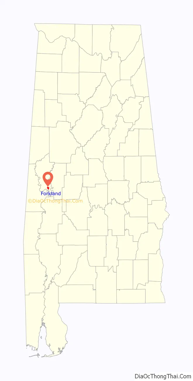
| State: | Alabama |
| County: | Greene County |
| Elevation: | 151 ft (46 m) |
| Total Area: | 3.51 sq mi (9.08 km²) |
| Land Area: | 3.49 sq mi (9.05 km²) |
| Water Area: | 0.01 sq mi (0.03 km²) |
| Total Population: | 445 |
| Population Density: | 127.36/sq mi (49.17/km²) |
| ZIP code: | 36740 |
| Area code: | 334 |
| FIPS code: | 0127376 |
| GNISfeature ID: | 0118505 |
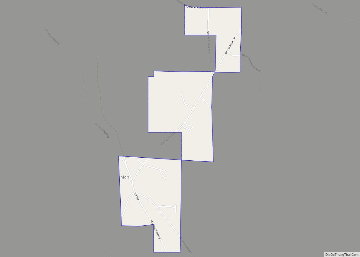
Online Interactive Map
Click on ![]() to view map in "full screen" mode.
to view map in "full screen" mode.
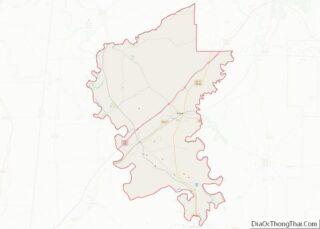
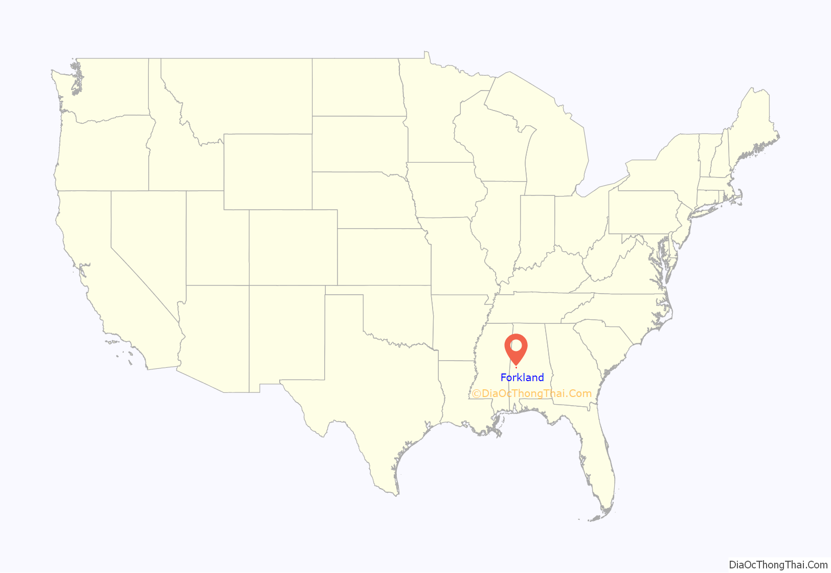
Forkland location map. Where is Forkland town?
History
Forkland has one site on the National Register of Historic Places, St. John’s-In-The-Prairie, built in 1859, and two sites nearby, Rosemount and Thornhill.
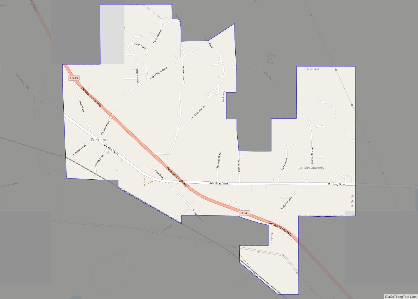
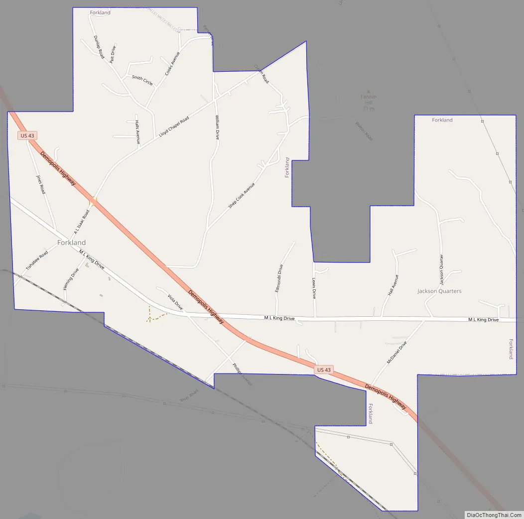
Forkland Road Map
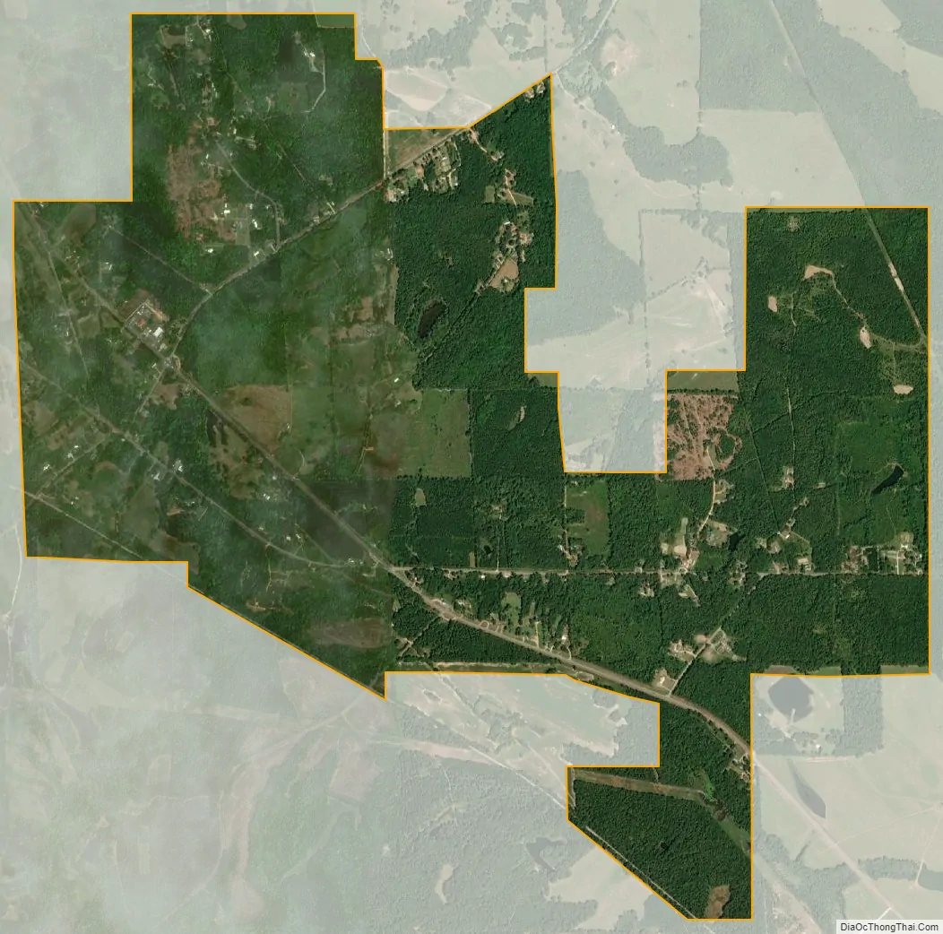
Forkland city Satellite Map
Geography
Forkland is located in southern Greene County at 32°38′52″N 87°52′2″W / 32.64778°N 87.86722°W / 32.64778; -87.86722 (32.647702, -87.867236), between the Black Warrior River 4 miles (6 km) to the east and the Tombigbee River 2 miles (3 km) to the west. The Black Warrior joins the Tombigbee 9 miles (14 km) to the south of Forkland, just north of Demopolis. U.S. Route 43 passes through Forkland, leading north 14 miles (23 km) to Eutaw, the county seat, and south 10 miles (16 km) to Demopolis.
According to the U.S. Census Bureau, Forkland has a total area of 3.5 square miles (9.1 km), of which 0.01 square miles (0.03 km), or 0.32%, is water.
See also
Map of Alabama State and its subdivision:- Autauga
- Baldwin
- Barbour
- Bibb
- Blount
- Bullock
- Butler
- Calhoun
- Chambers
- Cherokee
- Chilton
- Choctaw
- Clarke
- Clay
- Cleburne
- Coffee
- Colbert
- Conecuh
- Coosa
- Covington
- Crenshaw
- Cullman
- Dale
- Dallas
- De Kalb
- Elmore
- Escambia
- Etowah
- Fayette
- Franklin
- Geneva
- Greene
- Hale
- Henry
- Houston
- Jackson
- Jefferson
- Lamar
- Lauderdale
- Lawrence
- Lee
- Limestone
- Lowndes
- Macon
- Madison
- Marengo
- Marion
- Marshall
- Mobile
- Monroe
- Montgomery
- Morgan
- Perry
- Pickens
- Pike
- Randolph
- Russell
- Saint Clair
- Shelby
- Sumter
- Talladega
- Tallapoosa
- Tuscaloosa
- Walker
- Washington
- Wilcox
- Winston
- Alabama
- Alaska
- Arizona
- Arkansas
- California
- Colorado
- Connecticut
- Delaware
- District of Columbia
- Florida
- Georgia
- Hawaii
- Idaho
- Illinois
- Indiana
- Iowa
- Kansas
- Kentucky
- Louisiana
- Maine
- Maryland
- Massachusetts
- Michigan
- Minnesota
- Mississippi
- Missouri
- Montana
- Nebraska
- Nevada
- New Hampshire
- New Jersey
- New Mexico
- New York
- North Carolina
- North Dakota
- Ohio
- Oklahoma
- Oregon
- Pennsylvania
- Rhode Island
- South Carolina
- South Dakota
- Tennessee
- Texas
- Utah
- Vermont
- Virginia
- Washington
- West Virginia
- Wisconsin
- Wyoming