Grove Hill is a town in Clarke County, Alabama, United States. At the 2020 census, the population was 1,818. It is the county seat of Clarke County and home of the Clarke County Museum.
| Name: | Grove Hill town |
|---|---|
| LSAD Code: | 43 |
| LSAD Description: | town (suffix) |
| State: | Alabama |
| County: | Clarke County |
| Elevation: | 505 ft (154 m) |
| Total Area: | 7.60 sq mi (19.68 km²) |
| Land Area: | 7.59 sq mi (19.66 km²) |
| Water Area: | 0.01 sq mi (0.02 km²) |
| Total Population: | 1,818 |
| Population Density: | 239.53/sq mi (92.48/km²) |
| ZIP code: | 36451 |
| Area code: | 251 |
| FIPS code: | 0132080 |
| GNISfeature ID: | 0155087 |
| Website: | grovehillalabama.com |
Online Interactive Map
Click on ![]() to view map in "full screen" mode.
to view map in "full screen" mode.
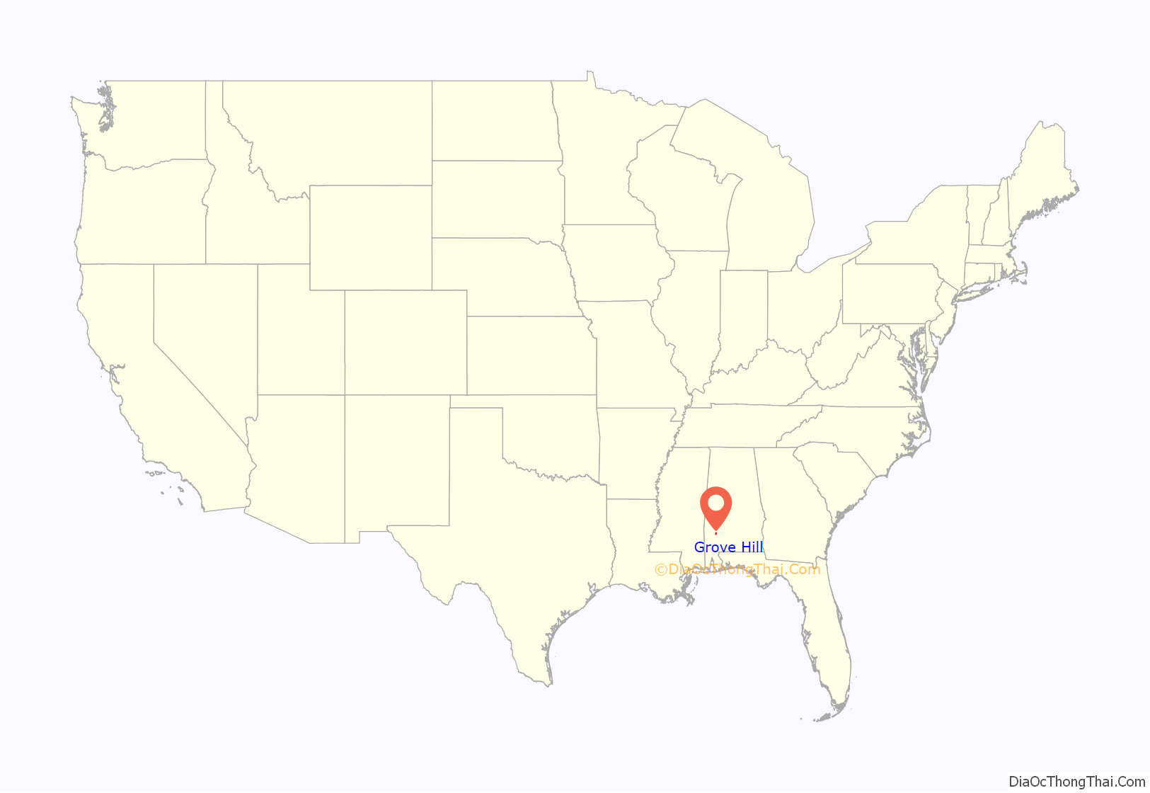
Grove Hill location map. Where is Grove Hill town?
History
The area that is now Grove Hill was originally inhabited by Creek and Choctaw Indians. The county seat of Clarke County was established at what later became Grove Hill in 1832 as the spot was most central to the rest of the county. Known variously as Smithville, then Macon, the name Grove Hill was selected around 1850 for the large grove of oak trees on the plateau. The town was officially incorporated and chartered in 1929. In 1853, a yellow fever epidemic struck the town, killing many residents, almost wiping out the town.
The Grove Hill area has numerous sites on the National Register of Historic Places including the Alston-Cobb House, Bush House, John A. Coate House, Cobb House, Dickinson House, Fort Sinquefield, and the Grove Hill Courthouse Square Historic District.
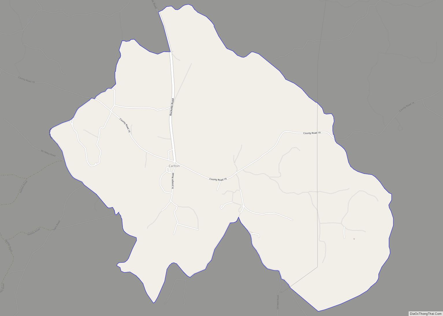
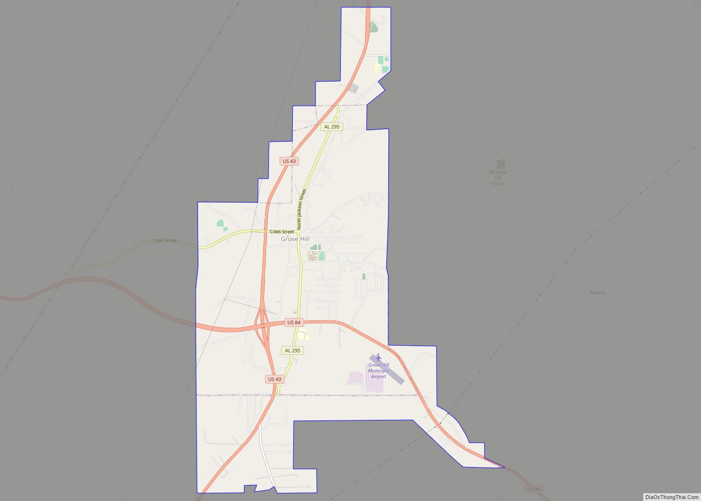
Grove Hill Road Map
Grove Hill city Satellite Map
Geography
According to the U.S. Census Bureau, the town has a total area of 5.0 square miles (13 km), all land.
Climate
According to the Köppen climate classification, Grove Hill has a humid subtropical climate (abbreviated Cfa).
See also
Map of Alabama State and its subdivision:- Autauga
- Baldwin
- Barbour
- Bibb
- Blount
- Bullock
- Butler
- Calhoun
- Chambers
- Cherokee
- Chilton
- Choctaw
- Clarke
- Clay
- Cleburne
- Coffee
- Colbert
- Conecuh
- Coosa
- Covington
- Crenshaw
- Cullman
- Dale
- Dallas
- De Kalb
- Elmore
- Escambia
- Etowah
- Fayette
- Franklin
- Geneva
- Greene
- Hale
- Henry
- Houston
- Jackson
- Jefferson
- Lamar
- Lauderdale
- Lawrence
- Lee
- Limestone
- Lowndes
- Macon
- Madison
- Marengo
- Marion
- Marshall
- Mobile
- Monroe
- Montgomery
- Morgan
- Perry
- Pickens
- Pike
- Randolph
- Russell
- Saint Clair
- Shelby
- Sumter
- Talladega
- Tallapoosa
- Tuscaloosa
- Walker
- Washington
- Wilcox
- Winston
- Alabama
- Alaska
- Arizona
- Arkansas
- California
- Colorado
- Connecticut
- Delaware
- District of Columbia
- Florida
- Georgia
- Hawaii
- Idaho
- Illinois
- Indiana
- Iowa
- Kansas
- Kentucky
- Louisiana
- Maine
- Maryland
- Massachusetts
- Michigan
- Minnesota
- Mississippi
- Missouri
- Montana
- Nebraska
- Nevada
- New Hampshire
- New Jersey
- New Mexico
- New York
- North Carolina
- North Dakota
- Ohio
- Oklahoma
- Oregon
- Pennsylvania
- Rhode Island
- South Carolina
- South Dakota
- Tennessee
- Texas
- Utah
- Vermont
- Virginia
- Washington
- West Virginia
- Wisconsin
- Wyoming
