Hodges is a town in Franklin County, Alabama, United States. At the 2020 census, the population was 265. Hodges was laid out in 1902. It was incorporated in 1913.
| Name: | Hodges town |
|---|---|
| LSAD Code: | 43 |
| LSAD Description: | town (suffix) |
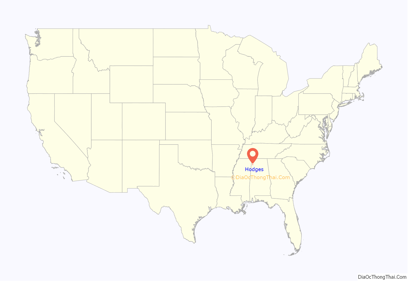
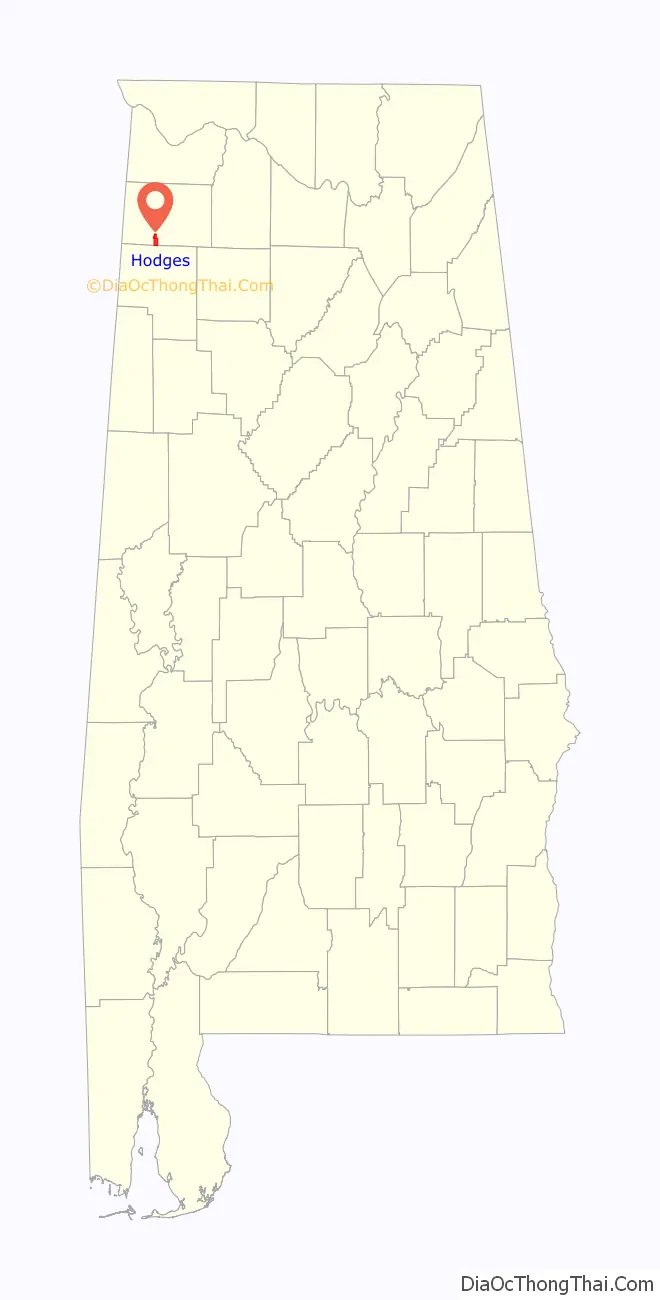
| State: | Alabama |
| County: | Franklin County |
| Elevation: | 863 ft (263 m) |
| Total Area: | 4.13 sq mi (10.71 km²) |
| Land Area: | 4.13 sq mi (10.69 km²) |
| Water Area: | 0.01 sq mi (0.02 km²) |
| Total Population: | 265 |
| Population Density: | 64.21/sq mi (24.79/km²) |
| ZIP code: | 35571 |
| Area code: | 205,256 |
| FIPS code: | 0135200 |
| GNISfeature ID: | 0120172 |
| Website: | hodgesal.com |
Online Interactive Map
Click on ![]() to view map in "full screen" mode.
to view map in "full screen" mode.
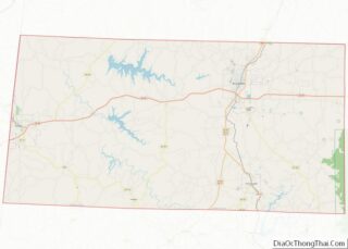
Hodges location map. Where is Hodges town?
History
A community known as “Reid Brake” was established at what is now Hodges in the 1880s. The current town was established in 1907 as a stop along the Illinois Central Railroad and named for a prominent local family. The town incorporated in 1913, and reincorporated in 1919.
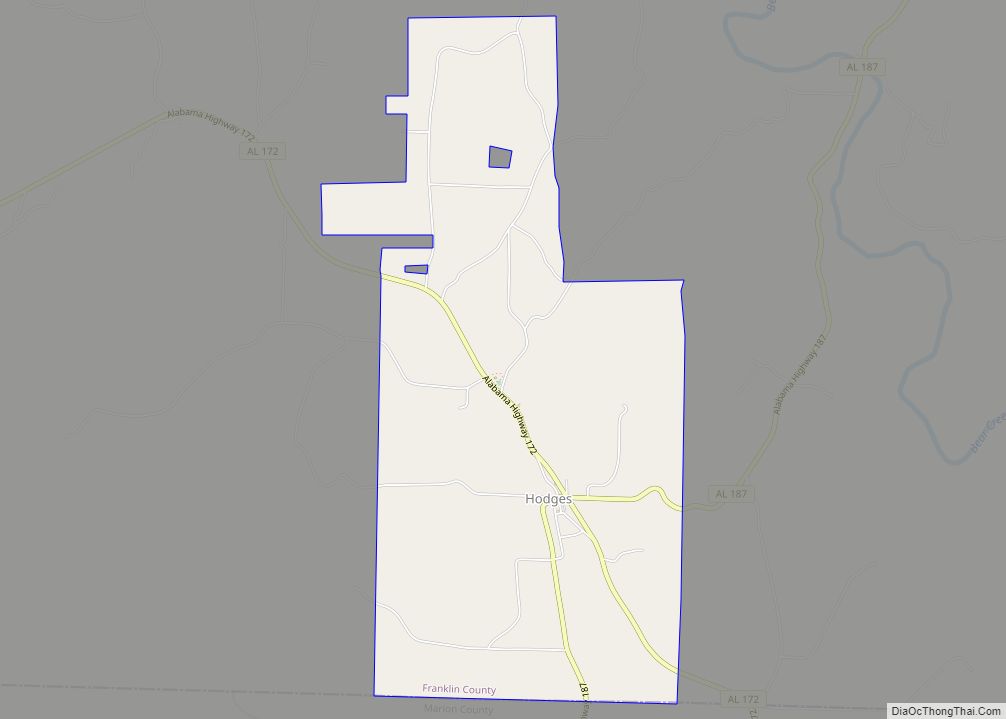
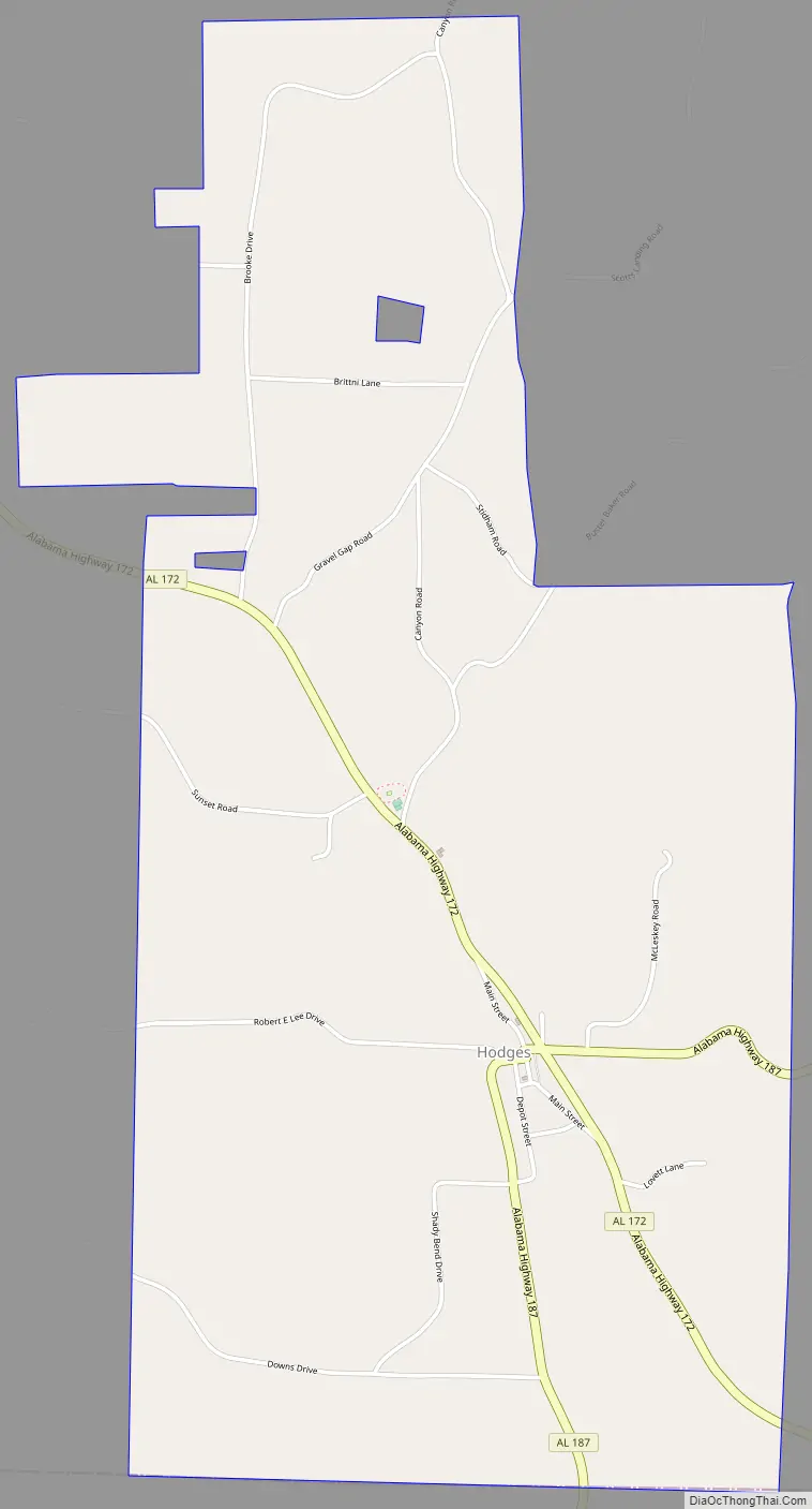
Hodges Road Map
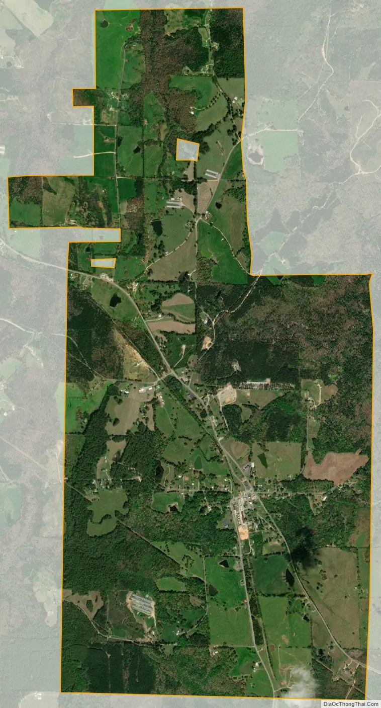
Hodges city Satellite Map
Geography
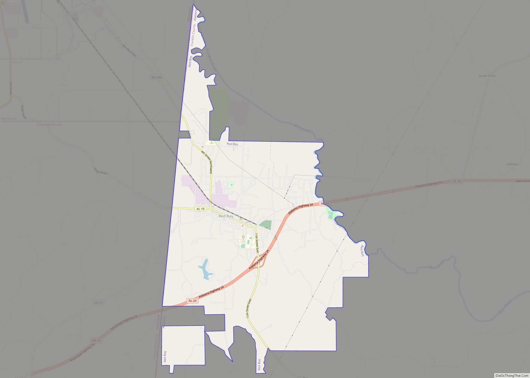
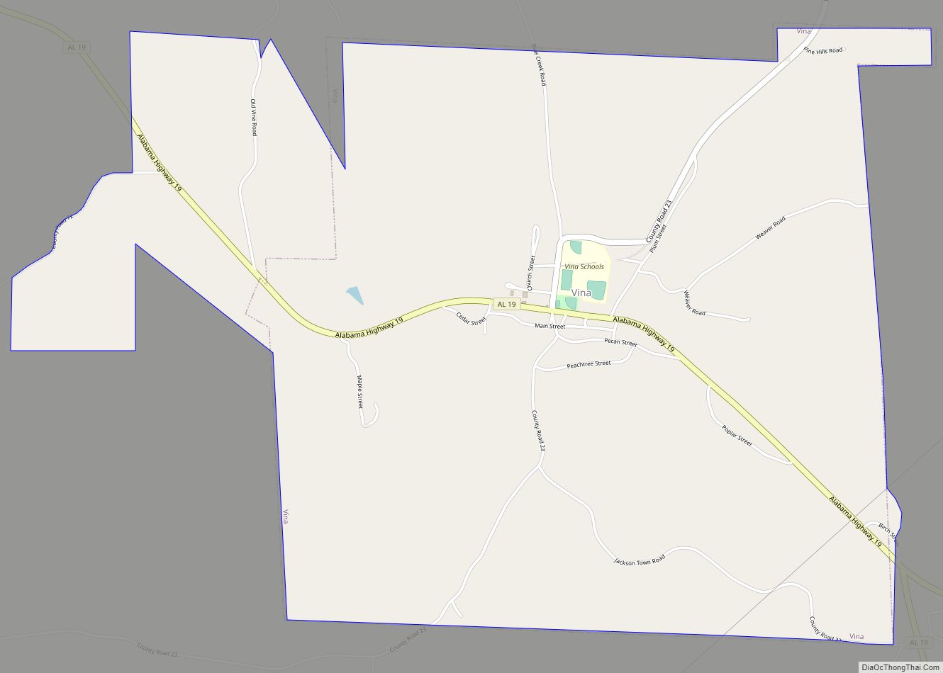
Hodges is located in southern Franklin County at 34°19′49″N 87°55′39″W / 34.33028°N 87.92750°W / 34.33028; -87.92750 (34.330242, -87.927394). The southern border of the town follows the Marion County line. Alabama State Route 172 passes through the town, leading northwest 9 miles (14 km) to Vina and southeast 7 miles (11 km) to Hackleburg. Alabama State Route 187 leads northeast from the center of Hodges 13 miles (21 km) to Belgreen.
According to the U.S. Census Bureau, the town has a total area of 4.1 square miles (10.7 km), of which 0.01 square miles (0.02 km), or 0.15%, is water. The town sits on the Tennessee Valley Divide, with the east side draining to Bear Creek, a north-flowing tributary of the Tennessee River, and the west side draining via Skirum Branch to Bull Mountain Creek, a west-flowing tributary of the Tombigbee River. 2 miles (3 km) north of Hodges is Rock Bridge Canyon Park, on bluffs overlooking Bear Creek.
See also
Map of Alabama State and its subdivision:- Autauga
- Baldwin
- Barbour
- Bibb
- Blount
- Bullock
- Butler
- Calhoun
- Chambers
- Cherokee
- Chilton
- Choctaw
- Clarke
- Clay
- Cleburne
- Coffee
- Colbert
- Conecuh
- Coosa
- Covington
- Crenshaw
- Cullman
- Dale
- Dallas
- De Kalb
- Elmore
- Escambia
- Etowah
- Fayette
- Franklin
- Geneva
- Greene
- Hale
- Henry
- Houston
- Jackson
- Jefferson
- Lamar
- Lauderdale
- Lawrence
- Lee
- Limestone
- Lowndes
- Macon
- Madison
- Marengo
- Marion
- Marshall
- Mobile
- Monroe
- Montgomery
- Morgan
- Perry
- Pickens
- Pike
- Randolph
- Russell
- Saint Clair
- Shelby
- Sumter
- Talladega
- Tallapoosa
- Tuscaloosa
- Walker
- Washington
- Wilcox
- Winston
- Alabama
- Alaska
- Arizona
- Arkansas
- California
- Colorado
- Connecticut
- Delaware
- District of Columbia
- Florida
- Georgia
- Hawaii
- Idaho
- Illinois
- Indiana
- Iowa
- Kansas
- Kentucky
- Louisiana
- Maine
- Maryland
- Massachusetts
- Michigan
- Minnesota
- Mississippi
- Missouri
- Montana
- Nebraska
- Nevada
- New Hampshire
- New Jersey
- New Mexico
- New York
- North Carolina
- North Dakota
- Ohio
- Oklahoma
- Oregon
- Pennsylvania
- Rhode Island
- South Carolina
- South Dakota
- Tennessee
- Texas
- Utah
- Vermont
- Virginia
- Washington
- West Virginia
- Wisconsin
- Wyoming