Holly Pond is a town in Cullman County, Alabama, United States. As of the 2010 census the town’s population was 798. The town was incorporated in 1906.
| Name: | Holly Pond town |
|---|---|
| LSAD Code: | 43 |
| LSAD Description: | town (suffix) |
| State: | Alabama |
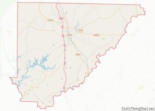
| County: | Cullman County |
| Elevation: | 866 ft (264 m) |
| Total Area: | 3.93 sq mi (10.18 km²) |
| Land Area: | 3.91 sq mi (10.14 km²) |
| Water Area: | 0.02 sq mi (0.04 km²) |
| Total Population: | 851 |
| Population Density: | 217.42/sq mi (83.95/km²) |
| ZIP code: | 35083 |
| Area code: | 256 |
| FIPS code: | 0135560 |
| GNISfeature ID: | 0155103 |
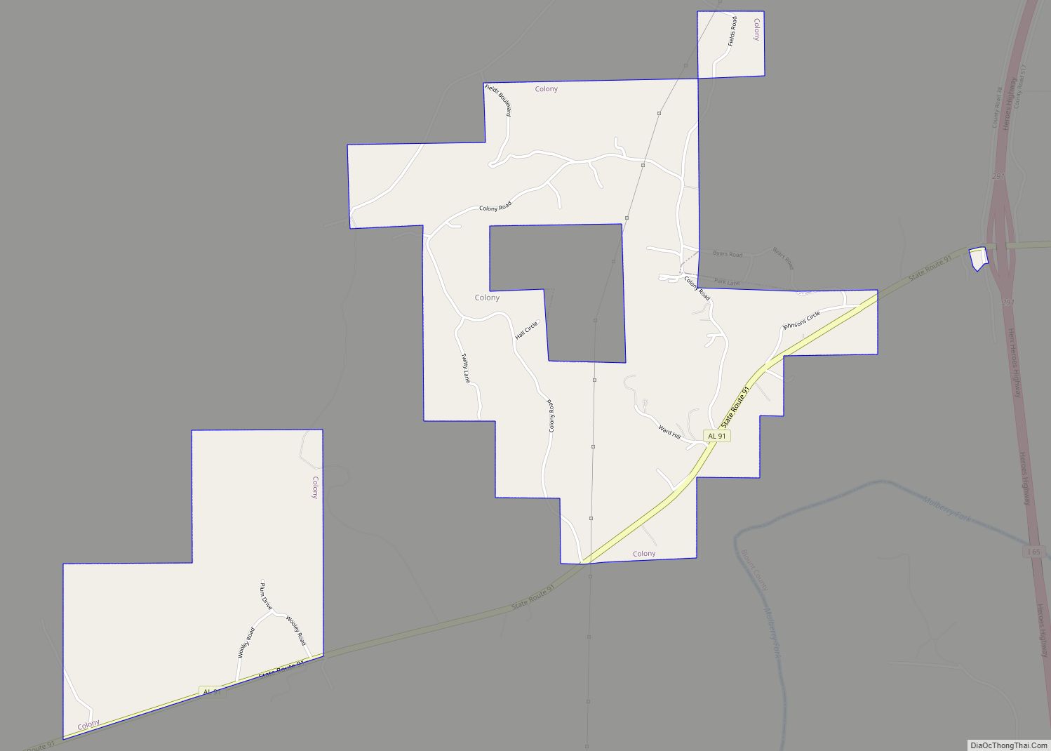
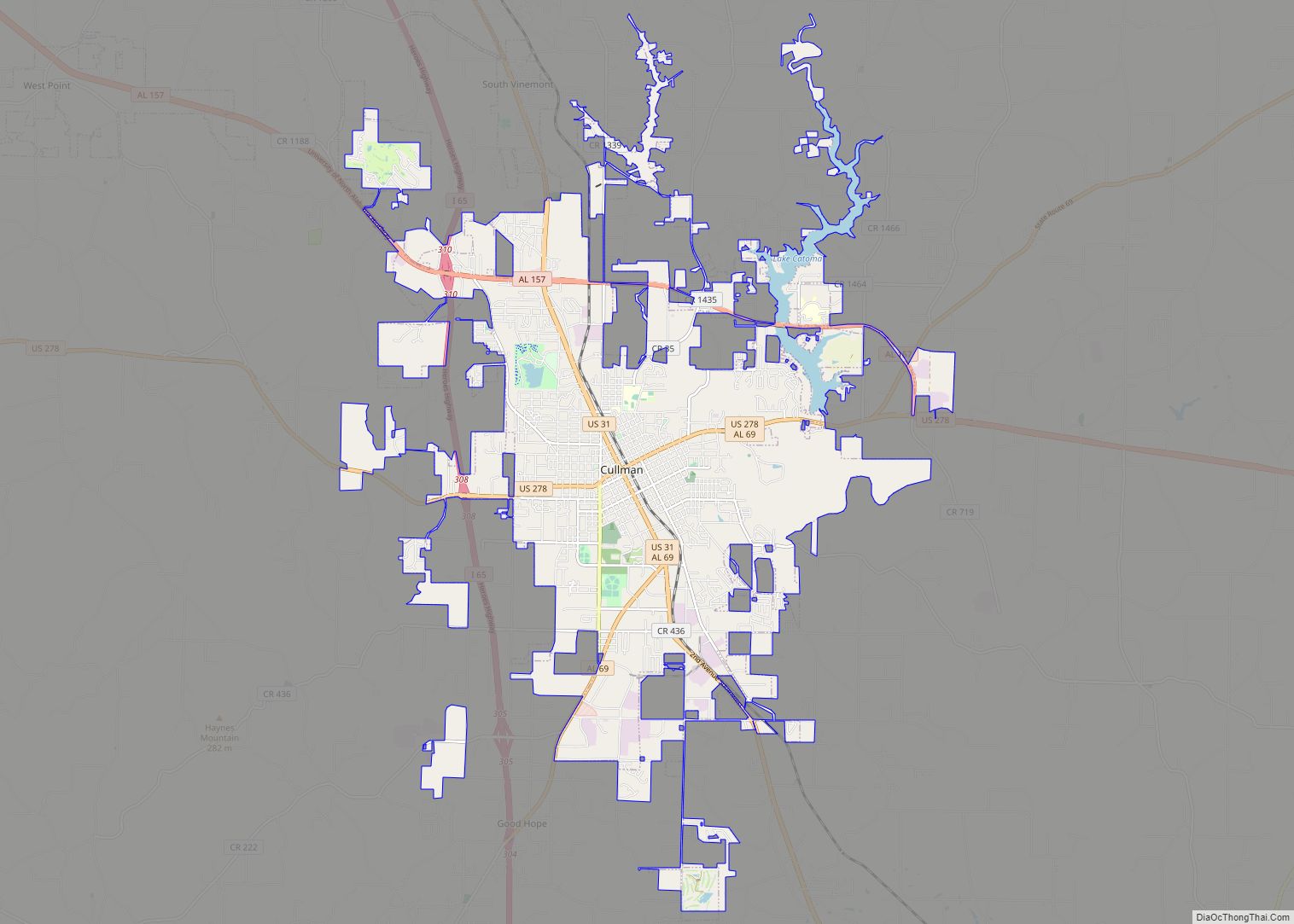
Online Interactive Map
Click on ![]() to view map in "full screen" mode.
to view map in "full screen" mode.
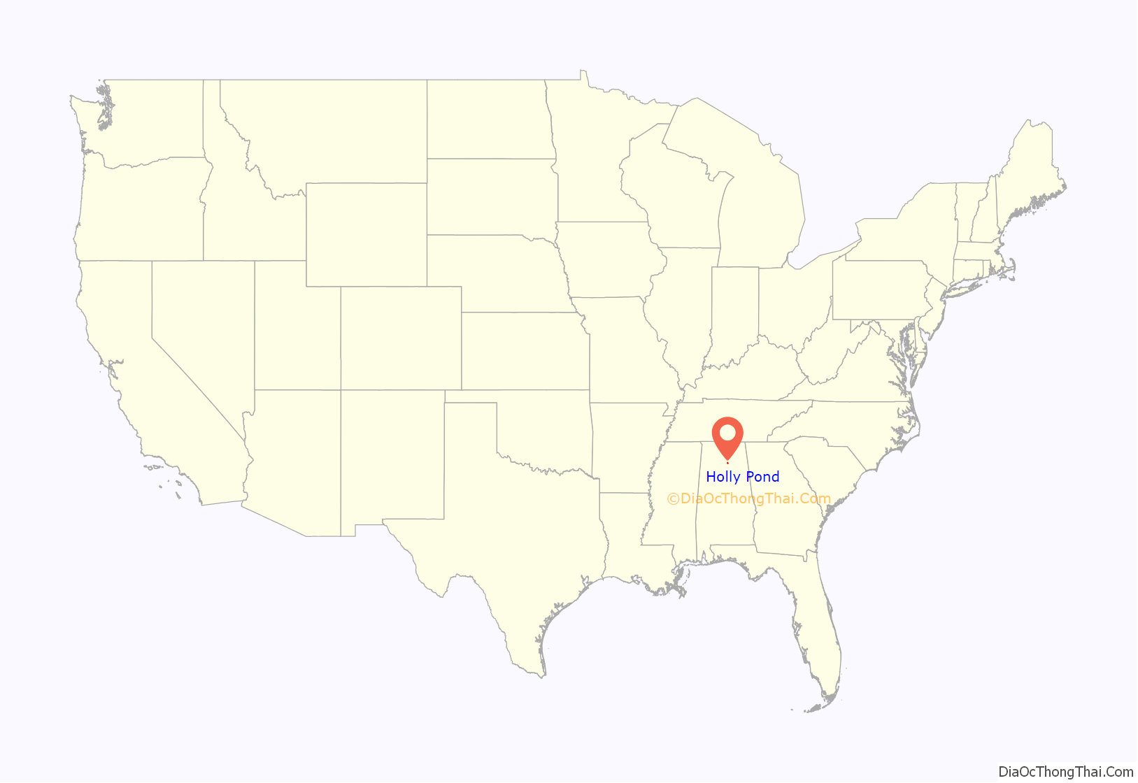
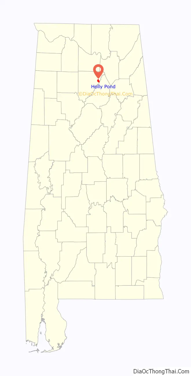
Holly Pond location map. Where is Holly Pond town?
History
Holly Pond was first settled in the 1840s, and gets its name from two natural ponds that were surrounded by holly trees. The community expanded in the 1850s in anticipation of railroad construction, and by 1888 a post office had been established.
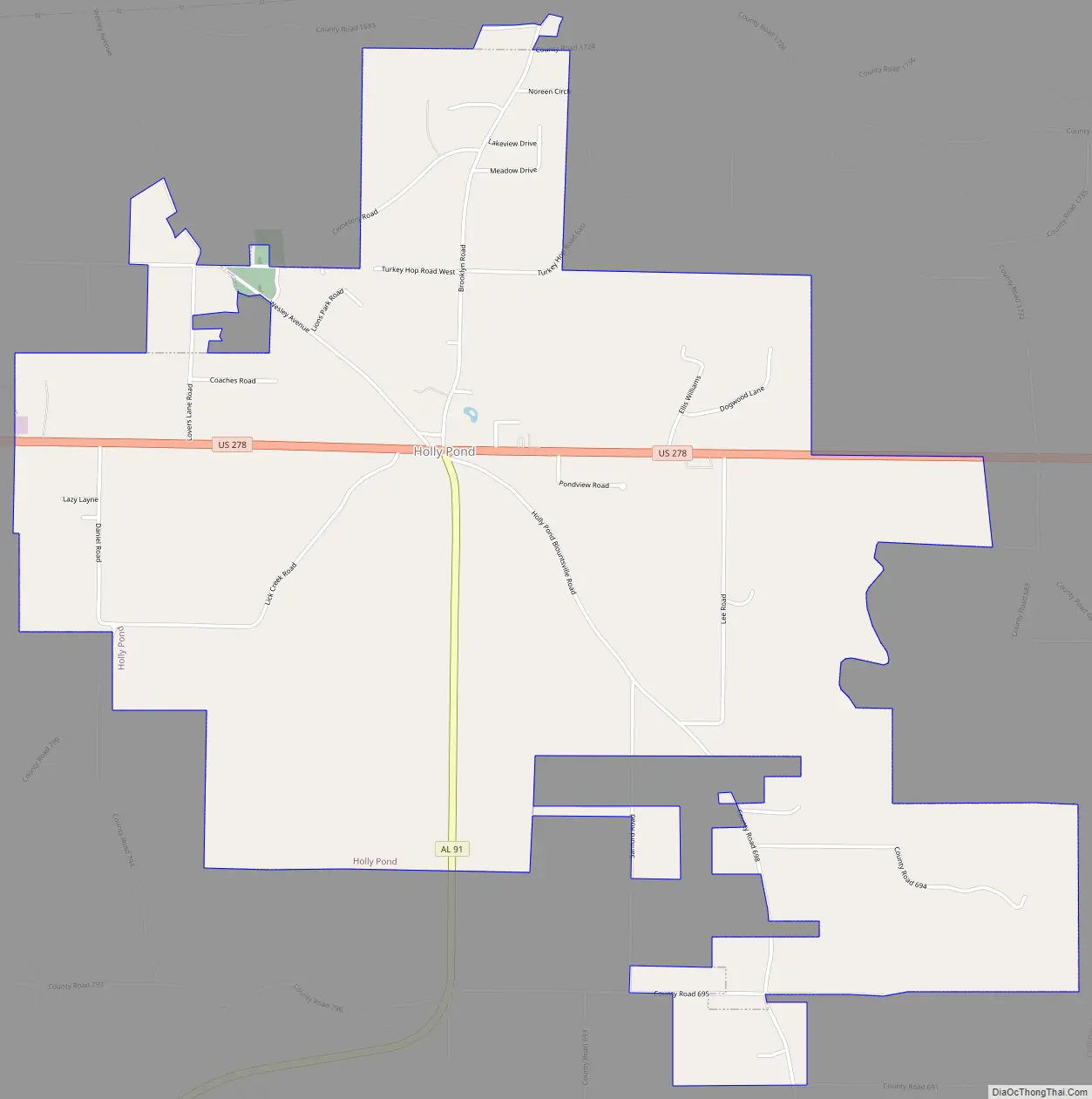
Holly Pond Road Map
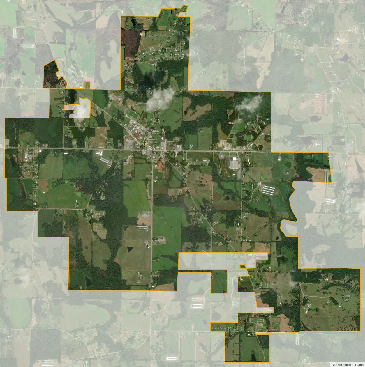
Holly Pond city Satellite Map
Geography
Holly Pond is located in eastern Cullman County at 34°10′29″N 86°37′1″W / 34.17472°N 86.61694°W / 34.17472; -86.61694 (34.174657, -86.617004). The town is concentrated around the intersection of U.S. Route 278 and State Route 91. The elevation at the center of town is approximately 870 feet (270 m) above sea level.
According to the U.S. Census Bureau, the town has a total area of 4.4 square miles (11.5 km), of which 0.019 square miles (0.05 km), or 0.45%, is water.
See also
Map of Alabama State and its subdivision:- Autauga
- Baldwin
- Barbour
- Bibb
- Blount
- Bullock
- Butler
- Calhoun
- Chambers
- Cherokee
- Chilton
- Choctaw
- Clarke
- Clay
- Cleburne
- Coffee
- Colbert
- Conecuh
- Coosa
- Covington
- Crenshaw
- Cullman
- Dale
- Dallas
- De Kalb
- Elmore
- Escambia
- Etowah
- Fayette
- Franklin
- Geneva
- Greene
- Hale
- Henry
- Houston
- Jackson
- Jefferson
- Lamar
- Lauderdale
- Lawrence
- Lee
- Limestone
- Lowndes
- Macon
- Madison
- Marengo
- Marion
- Marshall
- Mobile
- Monroe
- Montgomery
- Morgan
- Perry
- Pickens
- Pike
- Randolph
- Russell
- Saint Clair
- Shelby
- Sumter
- Talladega
- Tallapoosa
- Tuscaloosa
- Walker
- Washington
- Wilcox
- Winston
- Alabama
- Alaska
- Arizona
- Arkansas
- California
- Colorado
- Connecticut
- Delaware
- District of Columbia
- Florida
- Georgia
- Hawaii
- Idaho
- Illinois
- Indiana
- Iowa
- Kansas
- Kentucky
- Louisiana
- Maine
- Maryland
- Massachusetts
- Michigan
- Minnesota
- Mississippi
- Missouri
- Montana
- Nebraska
- Nevada
- New Hampshire
- New Jersey
- New Mexico
- New York
- North Carolina
- North Dakota
- Ohio
- Oklahoma
- Oregon
- Pennsylvania
- Rhode Island
- South Carolina
- South Dakota
- Tennessee
- Texas
- Utah
- Vermont
- Virginia
- Washington
- West Virginia
- Wisconsin
- Wyoming