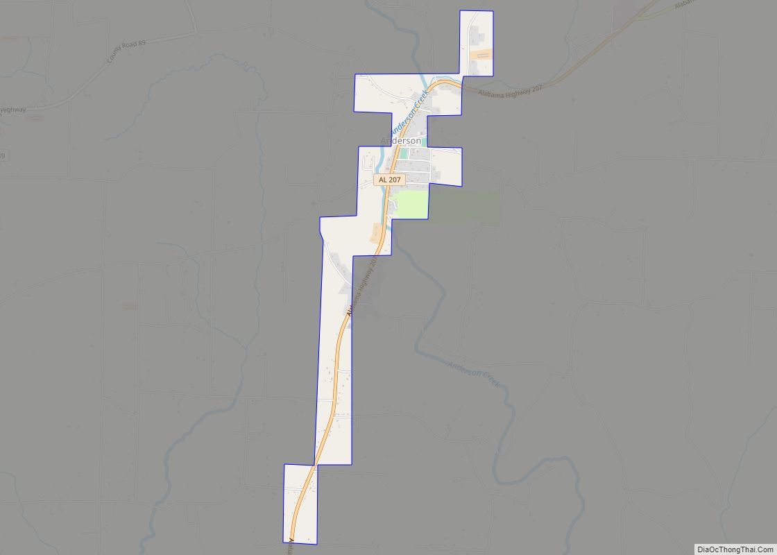
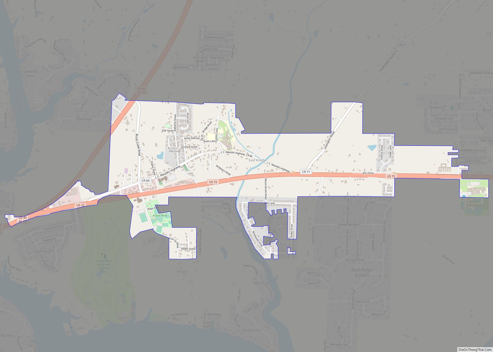
Killen is a town in Lauderdale County, Alabama, United States. It’s part of the Florence – Muscle Shoals Metropolitan Statistical Area known as “The Shoals”. It was incorporated in 1957. As of the 2020 census, the population of the town is 1,034, down from its record high of 1,119 in 2000.
| Name: | Killen town |
|---|---|
| LSAD Code: | 43 |
| LSAD Description: | town (suffix) |
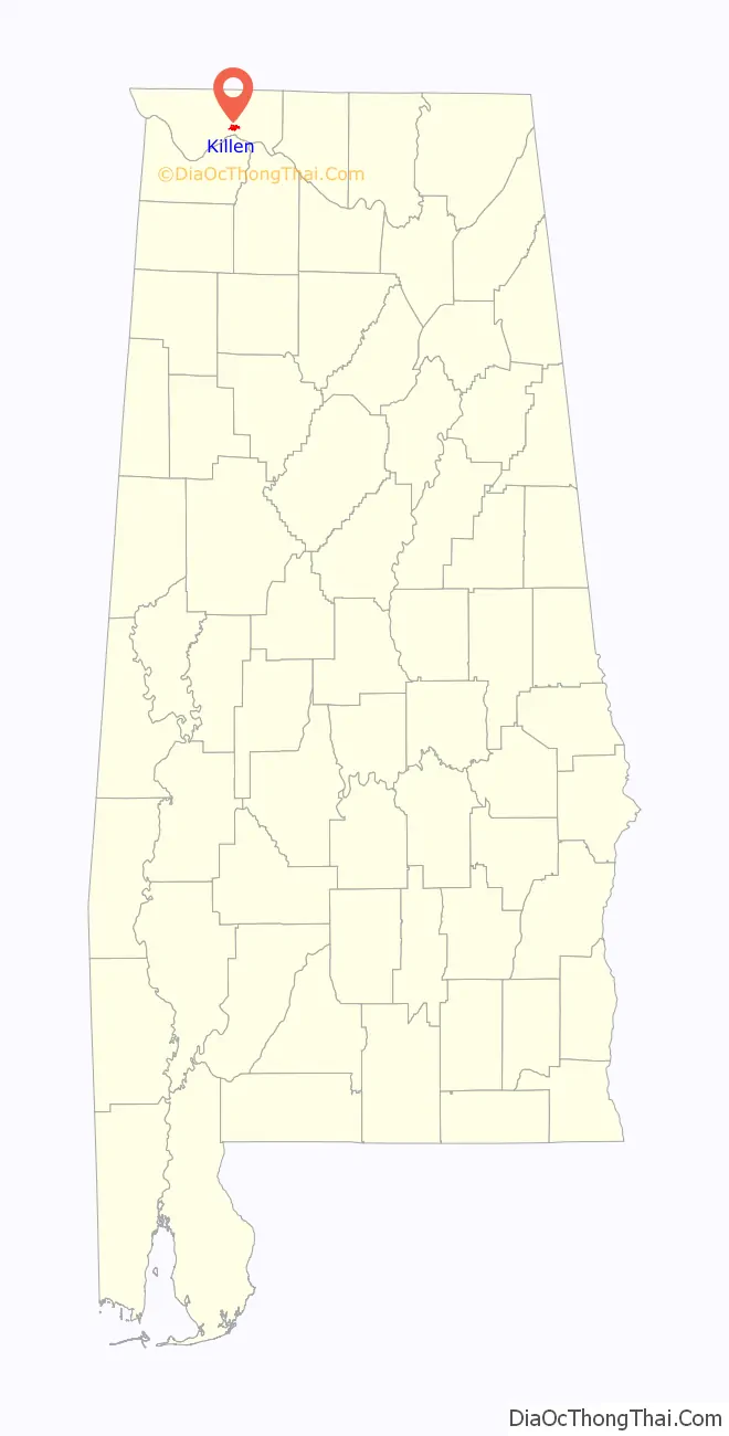
| State: | Alabama |
| County: | Lauderdale County |
| Elevation: | 541 ft (165 m) |
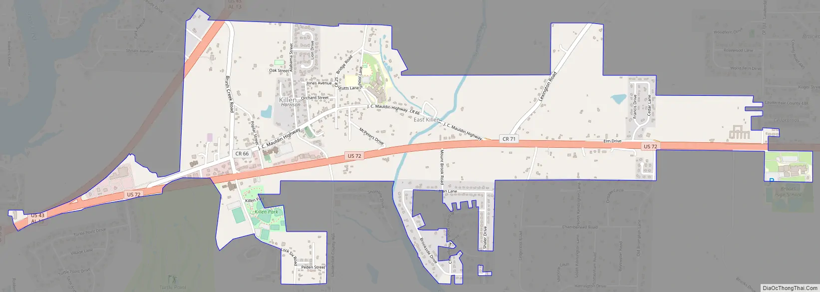
| Total Area: | 2.03 sq mi (5.26 km²) |
| Land Area: | 2.02 sq mi (5.24 km²) |
| Water Area: | 0.01 sq mi (0.01 km²) |
| Total Population: | 1,034 |
| Population Density: | 510.62/sq mi (197.20/km²) |
| ZIP code: | 35645 |
| Area code: | 256 |
| FIPS code: | 0139784 |
| GNISfeature ID: | 2405945 |
Online Interactive Map
Click on ![]() to view map in "full screen" mode.
to view map in "full screen" mode.
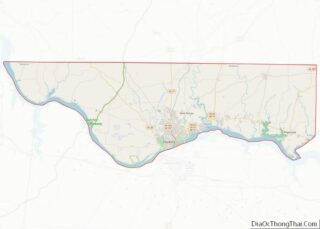
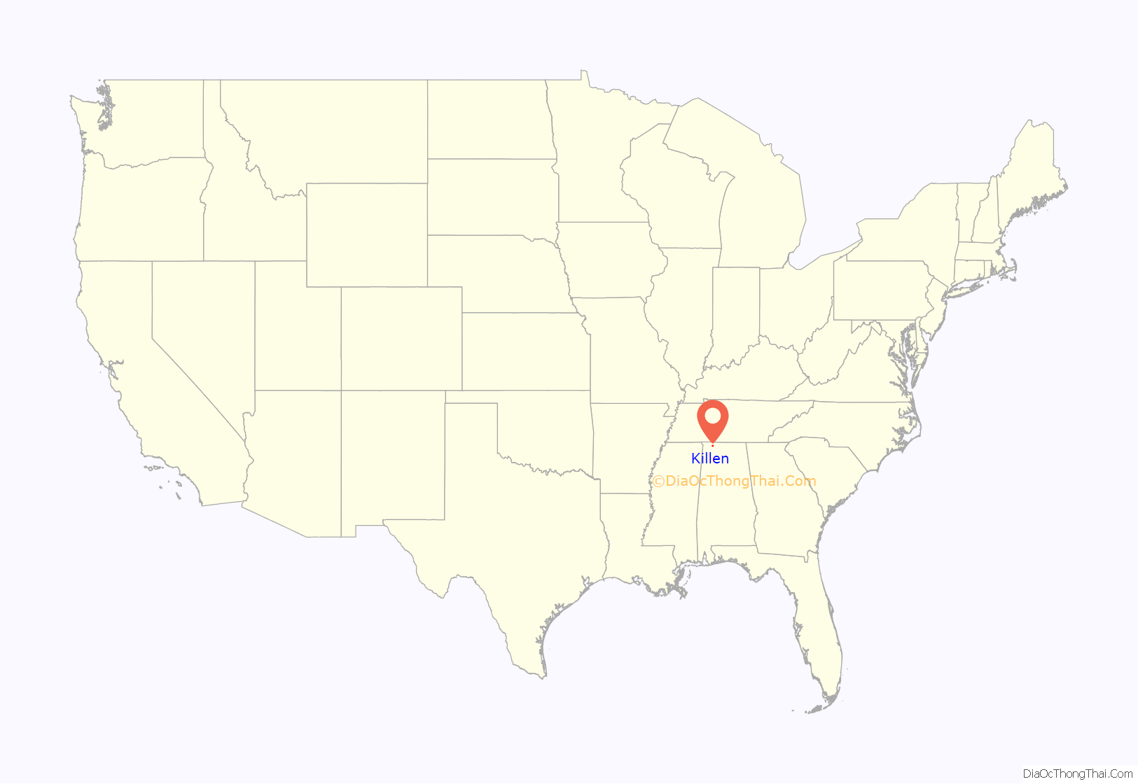
Killen location map. Where is Killen town?
History
Killen was founded on the Muscle Shoals Canal.
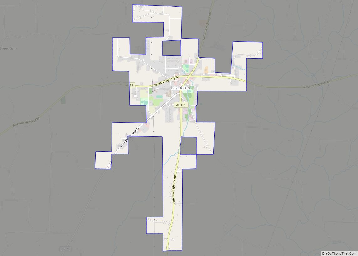
Killen Road Map
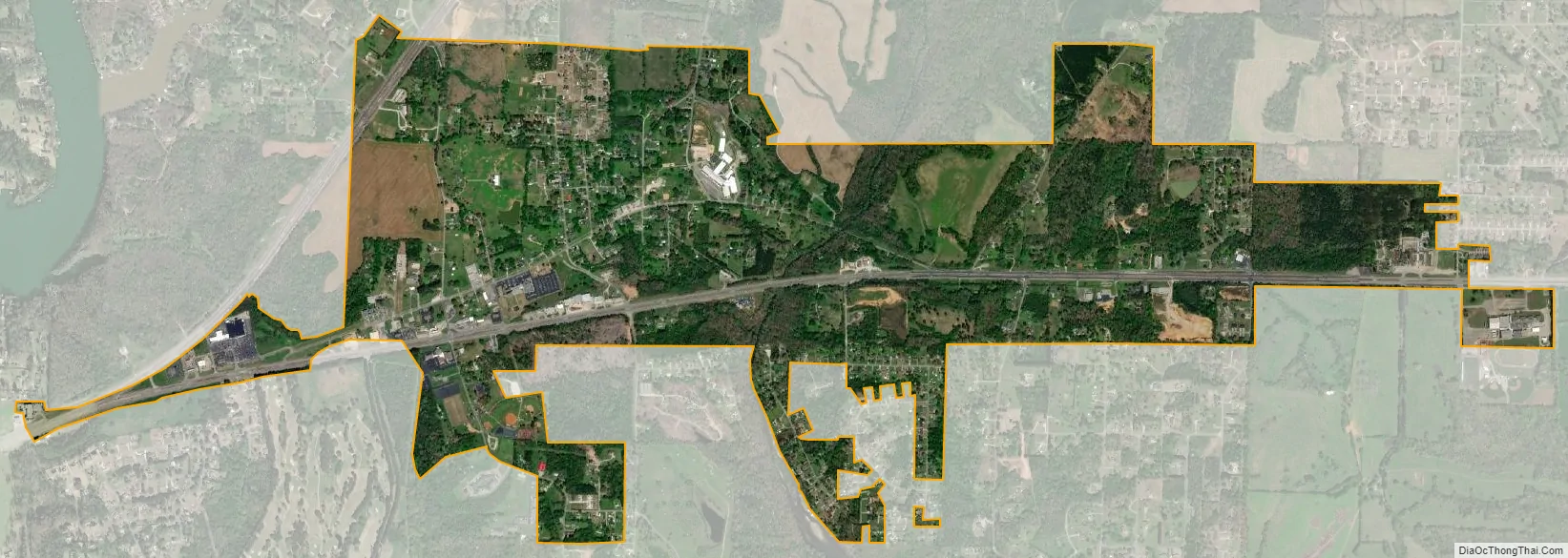
Killen city Satellite Map
Geography
Killen is located at 34°51′42″N 87°31′46″W / 34.86167°N 87.52944°W / 34.86167; -87.52944 (34.861586, -87.529374).
According to the U.S. Census Bureau, the town has a total area of 1.9 square miles (4.9 km), all land.
See also
Map of Alabama State and its subdivision:- Autauga
- Baldwin
- Barbour
- Bibb
- Blount
- Bullock
- Butler
- Calhoun
- Chambers
- Cherokee
- Chilton
- Choctaw
- Clarke
- Clay
- Cleburne
- Coffee
- Colbert
- Conecuh
- Coosa
- Covington
- Crenshaw
- Cullman
- Dale
- Dallas
- De Kalb
- Elmore
- Escambia
- Etowah
- Fayette
- Franklin
- Geneva
- Greene
- Hale
- Henry
- Houston
- Jackson
- Jefferson
- Lamar
- Lauderdale
- Lawrence
- Lee
- Limestone
- Lowndes
- Macon
- Madison
- Marengo
- Marion
- Marshall
- Mobile
- Monroe
- Montgomery
- Morgan
- Perry
- Pickens
- Pike
- Randolph
- Russell
- Saint Clair
- Shelby
- Sumter
- Talladega
- Tallapoosa
- Tuscaloosa
- Walker
- Washington
- Wilcox
- Winston
- Alabama
- Alaska
- Arizona
- Arkansas
- California
- Colorado
- Connecticut
- Delaware
- District of Columbia
- Florida
- Georgia
- Hawaii
- Idaho
- Illinois
- Indiana
- Iowa
- Kansas
- Kentucky
- Louisiana
- Maine
- Maryland
- Massachusetts
- Michigan
- Minnesota
- Mississippi
- Missouri
- Montana
- Nebraska
- Nevada
- New Hampshire
- New Jersey
- New Mexico
- New York
- North Carolina
- North Dakota
- Ohio
- Oklahoma
- Oregon
- Pennsylvania
- Rhode Island
- South Carolina
- South Dakota
- Tennessee
- Texas
- Utah
- Vermont
- Virginia
- Washington
- West Virginia
- Wisconsin
- Wyoming