Florence is a city in, and the county seat of, Lauderdale County, Alabama, United States, in the state’s northwestern corner. It is situated along the Tennessee River and is home to the University of North Alabama, the oldest college in the state.
Florence is the largest and principal city of the Florence-Muscle Shoals Metropolitan Statistical Area commonly known as “The Shoals” (which also includes the cities of Muscle Shoals, Sheffield, and Tuscumbia in Colbert County). Florence is considered northwestern Alabama’s primary economic hub. Florence is the most populous city of 30 places in the United States with the name Florence, which was slightly larger than Florence, South Carolina.
Annual tourism events include the W. C. Handy Music Festival in the summer and the Renaissance Faire in the fall. Landmarks in Florence include the 20th-century Rosenbaum House, the only Frank Lloyd Wright-designed home located in Alabama. The Florence Indian Mound, constructed by indigenous people between 100 BCE and 400 BCE in the Woodland period, is the largest surviving earthen mound in the state and is 43 feet high. It is listed on the National Register of Historic Places. It has been protected by the city since 1945. In 2017 a new, expanded museum was built to replace one built in 1968 that displays artifacts and interprets the ancient and historic cultures of all the indigenous peoples in the area.
The type of municipal government is a mayor-council system.
| Name: | Florence city |
|---|---|
| LSAD Code: | 25 |
| LSAD Description: | city (suffix) |
| State: | Alabama |
| County: | Lauderdale County |
| Incorporated: | January 7, 1826 |
| Elevation: | 607 ft (185 m) |
| Land Area: | 26.52 sq mi (68.68 km²) |
| Water Area: | 0.21 sq mi (0.55 km²) |
| Population Density: | 1,515.35/sq mi (585.08/km²) |
| ZIP code: | 35630-35634 |
| FIPS code: | 0126896 |
| GNISfeature ID: | 2403619 |
| Website: | www.florenceal.org |
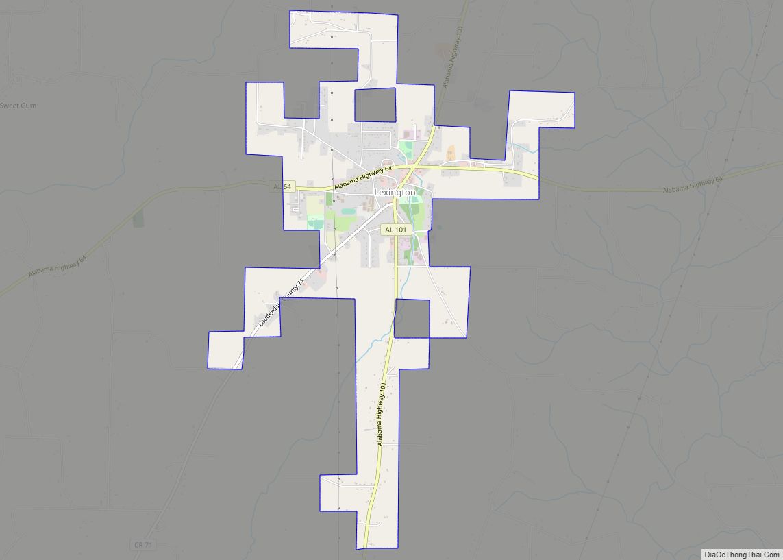
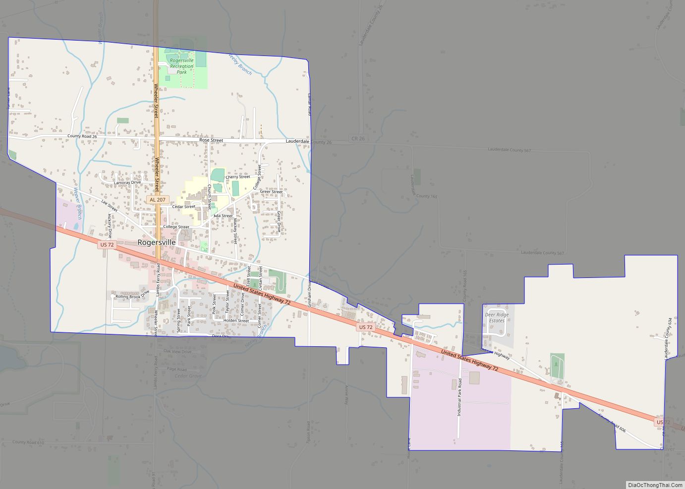
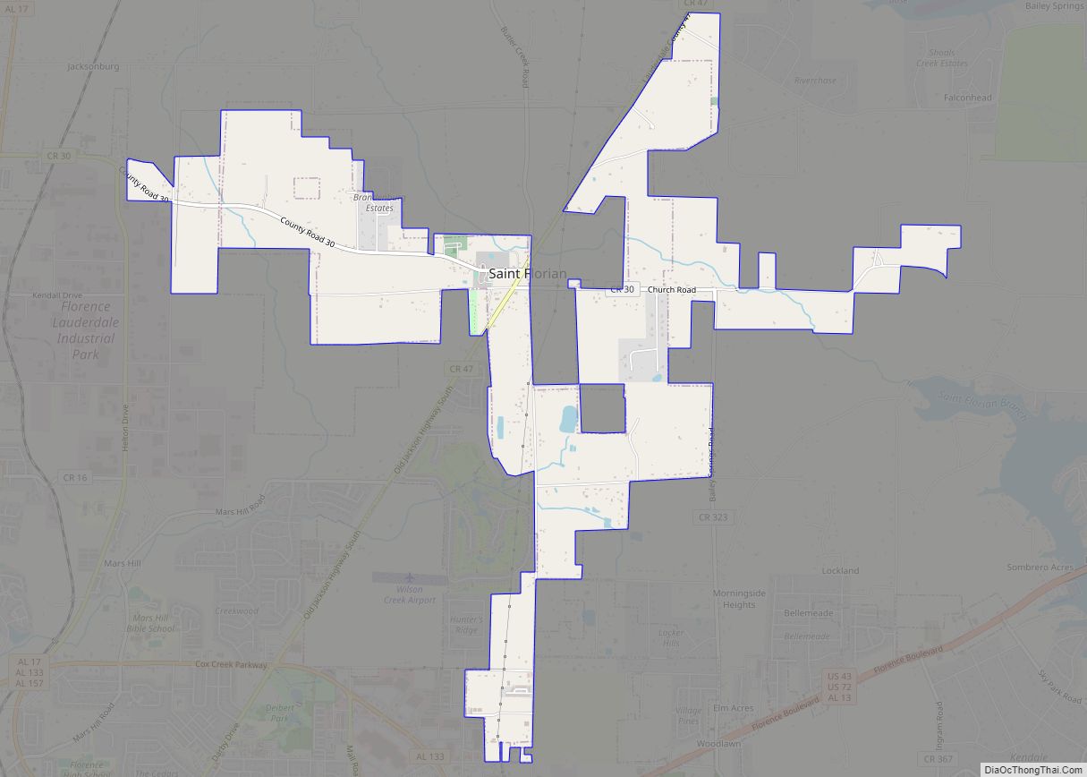
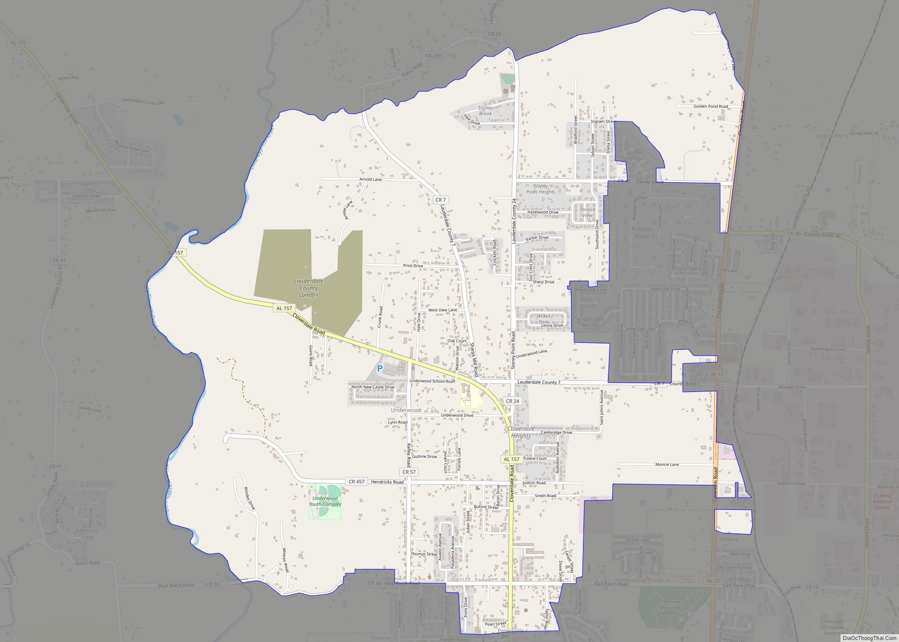
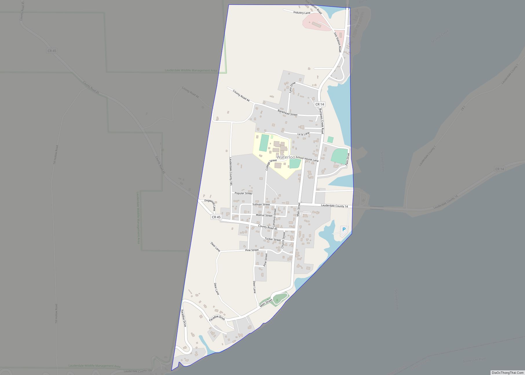
Online Interactive Map
Click on ![]() to view map in "full screen" mode.
to view map in "full screen" mode.
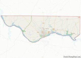
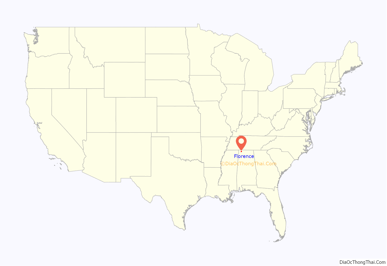
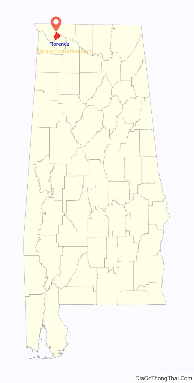
Florence location map. Where is Florence city?
History
Evidence for human habitation in the Florence area goes back to at least 500 BCE, when the Florence Indian Mound, the largest of its type in the Tennessee Valley, was constructed as an earthwork during the Woodland period. Successive cultures arose after this. In the historic period, the area of present-day Florence was occupied by the Chickasaw Nation. They first encountered white traders and settlers beginning in the late 1700s, and were forced to cede their land to the Federal government through a series of treaties in early 1800s, as part of the Indian Removal policy to extinguish tribal land claims east of the Mississippi River. The Chickasaw were removed to west of the river in Indian Territory (now Oklahoma).
General John Coffee, John McKinley, a future U.S. Supreme Court Justice, and five other trustees established the Cypress Land Company to found a town on a hill overlooking the Tennessee River. The company bought the land, believing that Florence’s location along Jackson’s Military Road and at the end of the treacherous Muscle Shoals rapids on the Tennessee River would enable it to develop as a major commercial center. In 1819, Coffee commissioned Ferdinand Sannoner, a young Italian engineer, to survey and plan the town. As a reward for his work, Sannoner was allowed to choose the name of the new settlement; he named it after Florence, the capital of the Tuscany region of Italy.
The first river steamboat visited the town in 1821. Speculators and settlers, including General Andrew Jackson and President James Monroe, bought up plots of land as they were sold by the Cypress Land Co. Florence quickly became a commercial hub on the Tennessee River, but it did not reach the level its founders had hoped. Florence did grow quickly enough to be incorporated by the State Legislature in 1826.
As a sign of progress and ambition, townspeople established the Florence Female Academy here in 1847, for paying female students. By the 1850s, the school was converted into the Florence Synodical Female College, affiliated with the Presbyterian Church. It closed in 1893. A historical marker commemorates the site.
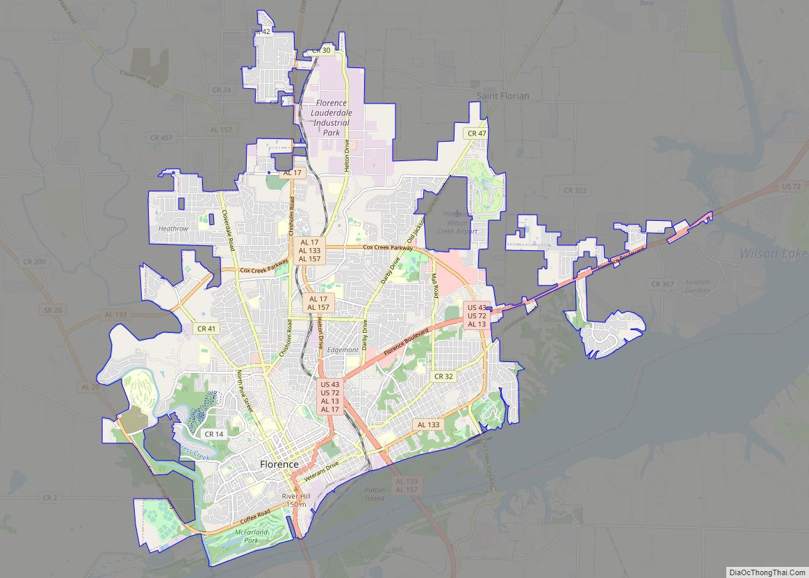
Florence Road Map
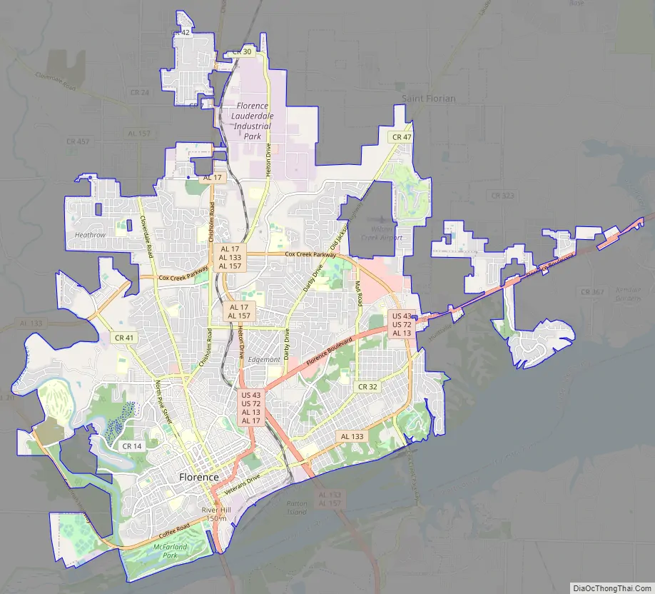
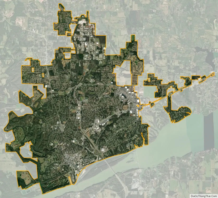
Florence city Satellite Map
Geography
According to the U.S. Census Bureau, Florence has a total area of 25.0 square miles (65 km), of which 24.9 square miles (64 km) is land, and 0.1 square miles (0.26 km) (0.40%) is water.
Florence is located on Wilson Lake and Pickwick Lake, bodies of water on the Tennessee River dammed by Pickwick Dam and Wilson Dams. Pickwick Lake was created by the Tennessee Valley Authority (TVA), an agency established under President Franklin Delano Roosevelt’s New Deal. It was a public works program intended to build dams and hydroelectric power and related infrastructure to generate electricity for the rural region to stimulate economic development, provide flood control, and recreational opportunities. Wilson Dam (now operated by the TVA) was authorized by President Woodrow Wilson in 1918 and was the first dam constructed on the Tennessee River.
Climate
The climate in this area is characterized by hot, humid summers and generally mild to cool winters. According to the Köppen Climate Classification system, Florence has a humid subtropical climate, abbreviated “Cfa” on climate maps.
The average temperature of Florence is 59 °F (15 °C). The average yearly precipitation in Florence is 57.06 in (144.9 cm). On average, Florence gets 2.25 in (5.7 cm) of snow per year, which is above the average for Alabama of 0.57 in (1.4 cm).
While Florence is almost 300 mi (480 km) from the Gulf of Mexico, strong hurricanes have brought severe weather to the area. For example, in 2005, the path of Hurricane Katrina came very close to the city, causing nearly 70 mph (110 km/h) winds and some storm damage.
See also
Map of Alabama State and its subdivision:- Autauga
- Baldwin
- Barbour
- Bibb
- Blount
- Bullock
- Butler
- Calhoun
- Chambers
- Cherokee
- Chilton
- Choctaw
- Clarke
- Clay
- Cleburne
- Coffee
- Colbert
- Conecuh
- Coosa
- Covington
- Crenshaw
- Cullman
- Dale
- Dallas
- De Kalb
- Elmore
- Escambia
- Etowah
- Fayette
- Franklin
- Geneva
- Greene
- Hale
- Henry
- Houston
- Jackson
- Jefferson
- Lamar
- Lauderdale
- Lawrence
- Lee
- Limestone
- Lowndes
- Macon
- Madison
- Marengo
- Marion
- Marshall
- Mobile
- Monroe
- Montgomery
- Morgan
- Perry
- Pickens
- Pike
- Randolph
- Russell
- Saint Clair
- Shelby
- Sumter
- Talladega
- Tallapoosa
- Tuscaloosa
- Walker
- Washington
- Wilcox
- Winston
- Alabama
- Alaska
- Arizona
- Arkansas
- California
- Colorado
- Connecticut
- Delaware
- District of Columbia
- Florida
- Georgia
- Hawaii
- Idaho
- Illinois
- Indiana
- Iowa
- Kansas
- Kentucky
- Louisiana
- Maine
- Maryland
- Massachusetts
- Michigan
- Minnesota
- Mississippi
- Missouri
- Montana
- Nebraska
- Nevada
- New Hampshire
- New Jersey
- New Mexico
- New York
- North Carolina
- North Dakota
- Ohio
- Oklahoma
- Oregon
- Pennsylvania
- Rhode Island
- South Carolina
- South Dakota
- Tennessee
- Texas
- Utah
- Vermont
- Virginia
- Washington
- West Virginia
- Wisconsin
- Wyoming