Lockhart is a town in Covington County, Alabama, United States. At the 2020 census, the population was 445.
| Name: | Lockhart town |
|---|---|
| LSAD Code: | 43 |
| LSAD Description: | town (suffix) |
| State: | Alabama |
| County: | Covington County |
| Elevation: | 289 ft (88 m) |
| Total Area: | 1.13 sq mi (2.92 km²) |
| Land Area: | 1.09 sq mi (2.82 km²) |
| Water Area: | 0.04 sq mi (0.10 km²) |
| Total Population: | 445 |
| Population Density: | 409.01/sq mi (157.90/km²) |
| ZIP code: | 36455 |
| Area code: | 334 |
| FIPS code: | 0143816 |
| GNISfeature ID: | 0121944 |
Online Interactive Map
Click on ![]() to view map in "full screen" mode.
to view map in "full screen" mode.
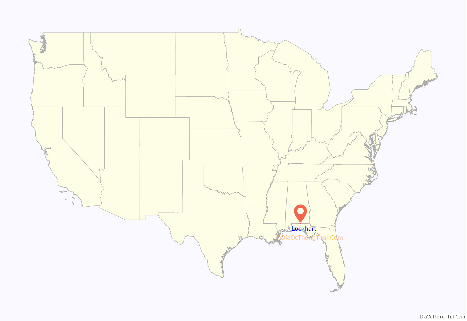
Lockhart location map. Where is Lockhart town?
History
Lockhart came into being about 1904 when the Jackson Lumber Company mill was constructed there, the community being a company town. Many streets were named for Native American tribes. The mill was erected to handle the dense forests of yellow pine in what was known as the “Jackson Tract”. The town was named for Standard Oil magnate and Pittsburgh, Pennsylvania financier, Charles Lockhart. In 1912, the mill employed around a thousand workers and ran 24/7. At that time Lockhart was the largest lumber mill in the United States. Flooring for the famous Waldorf-Astoria Hotel in New York City came from Lockhart.
In 1903 the mill was the center of a peonage scandal. More than a hundred immigrant laborers recruited in cities in the North were held against their will in a walled compound on the site. Company officials were sentenced to as much as eighteen months in jail when convicted but were able to have their sentences reduced by political friends.
The milling facility was served by both the Central of Georgia Railroad and the Louisville and Nashville Railroad, connecting through nearby Florala, Alabama. “The mill, however, closed in 1940, and historical accounts offer two reasons. Military enlistments prior to U.S. entry in World War II caused a labor shortage, or company officials sold their holdings and the land to the residents after cutting all the timber in the area and deciding not to wait for replanted timber to mature. Jackson Lumber Company also donated much land to the state that was replanted and developed by the Civilian Conservation Corps into Geneva State Forest in neighboring Geneva County.” This land had little value after it had been clear cut, the practice of the time, and being unable to sell the now-deforested acreage during the Great Depression, the company returned it to the state in the 1930s rather than pay taxes on it.
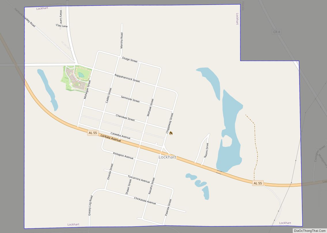
Lockhart Road Map
Lockhart city Satellite Map
Geography
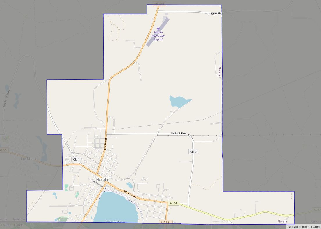
Lockhart is located in southern Covington County at 31°0′41″N 86°21′2″W / 31.01139°N 86.35056°W / 31.01139; -86.35056 (31.011435, -86.350652), 1 mile (2 km) north of the Florida state line. Lockhart is bordered by the town of Florala to the east.
According to the U.S. Census Bureau, the town has a total area of 1.1 square miles (2.9 km), of which 1.1 square miles (2.8 km) is land and 0.04 square miles (0.1 km), or 3.53%, is water.
See also
Map of Alabama State and its subdivision:- Autauga
- Baldwin
- Barbour
- Bibb
- Blount
- Bullock
- Butler
- Calhoun
- Chambers
- Cherokee
- Chilton
- Choctaw
- Clarke
- Clay
- Cleburne
- Coffee
- Colbert
- Conecuh
- Coosa
- Covington
- Crenshaw
- Cullman
- Dale
- Dallas
- De Kalb
- Elmore
- Escambia
- Etowah
- Fayette
- Franklin
- Geneva
- Greene
- Hale
- Henry
- Houston
- Jackson
- Jefferson
- Lamar
- Lauderdale
- Lawrence
- Lee
- Limestone
- Lowndes
- Macon
- Madison
- Marengo
- Marion
- Marshall
- Mobile
- Monroe
- Montgomery
- Morgan
- Perry
- Pickens
- Pike
- Randolph
- Russell
- Saint Clair
- Shelby
- Sumter
- Talladega
- Tallapoosa
- Tuscaloosa
- Walker
- Washington
- Wilcox
- Winston
- Alabama
- Alaska
- Arizona
- Arkansas
- California
- Colorado
- Connecticut
- Delaware
- District of Columbia
- Florida
- Georgia
- Hawaii
- Idaho
- Illinois
- Indiana
- Iowa
- Kansas
- Kentucky
- Louisiana
- Maine
- Maryland
- Massachusetts
- Michigan
- Minnesota
- Mississippi
- Missouri
- Montana
- Nebraska
- Nevada
- New Hampshire
- New Jersey
- New Mexico
- New York
- North Carolina
- North Dakota
- Ohio
- Oklahoma
- Oregon
- Pennsylvania
- Rhode Island
- South Carolina
- South Dakota
- Tennessee
- Texas
- Utah
- Vermont
- Virginia
- Washington
- West Virginia
- Wisconsin
- Wyoming
