Locust Fork is a town in Blount County, Alabama, United States. At the 2010 census the population was 1,186 people, up from 1,016 in 2000.
| Name: | Locust Fork town |
|---|---|
| LSAD Code: | 43 |
| LSAD Description: | town (suffix) |
| State: | Alabama |
| County: | Blount County |
| Elevation: | 584 ft (178 m) |
| Total Area: | 3.89 sq mi (10.07 km²) |
| Land Area: | 3.88 sq mi (10.04 km²) |
| Water Area: | 0.01 sq mi (0.03 km²) |
| Total Population: | 1,192 |
| Population Density: | 307.53/sq mi (118.73/km²) |
| ZIP code: | 35097 |
| Area code: | 205, 659 |
| FIPS code: | 0143888 |
| GNISfeature ID: | 0121956 |
| Website: | www.locustfork.com |
Online Interactive Map
Click on ![]() to view map in "full screen" mode.
to view map in "full screen" mode.
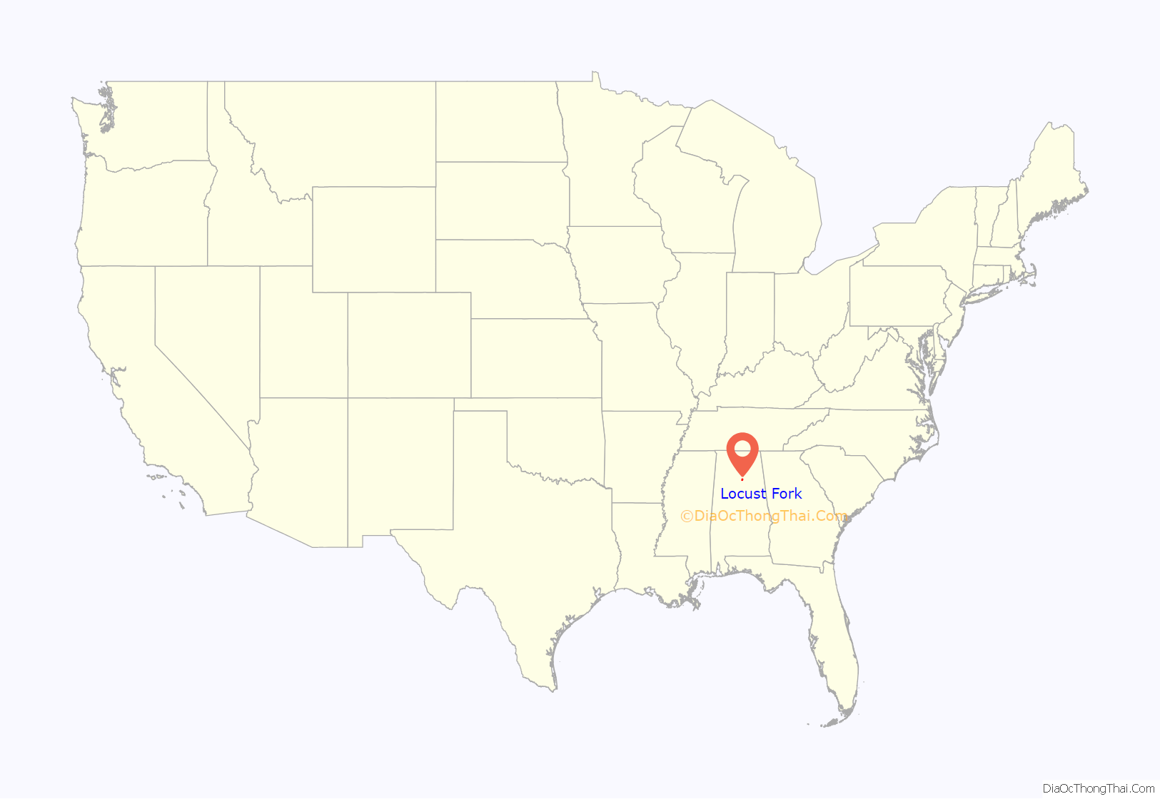
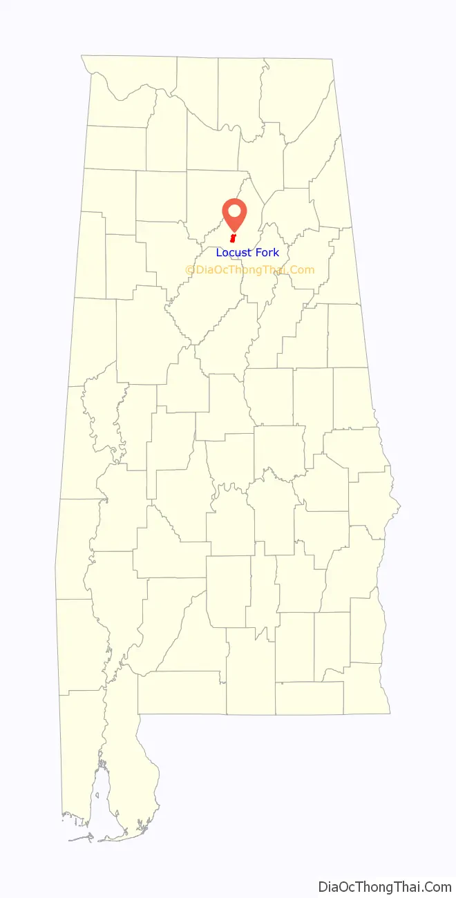
Locust Fork location map. Where is Locust Fork town?
History
While traveling south with his troops in 1815, General Andrew Jackson camped along a river in the area. General Jackson carved his name in a locust tree, naming the area Locust Fork. In the early 1800s Nick Hudson built a public inn in what is now Locust Fork. He erected barns to shelter the horses and hogs of the Tennessee farmers who drove them to the deeper South for a more profitable market.
Locust Fork was incorporated January 18, 1977.
Notable People:
Dalton “Breeze” Bailey
Mike “The Boy” Reid
Shiane Cater
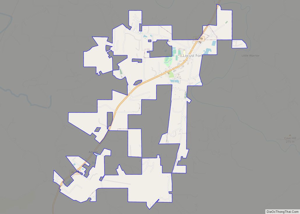
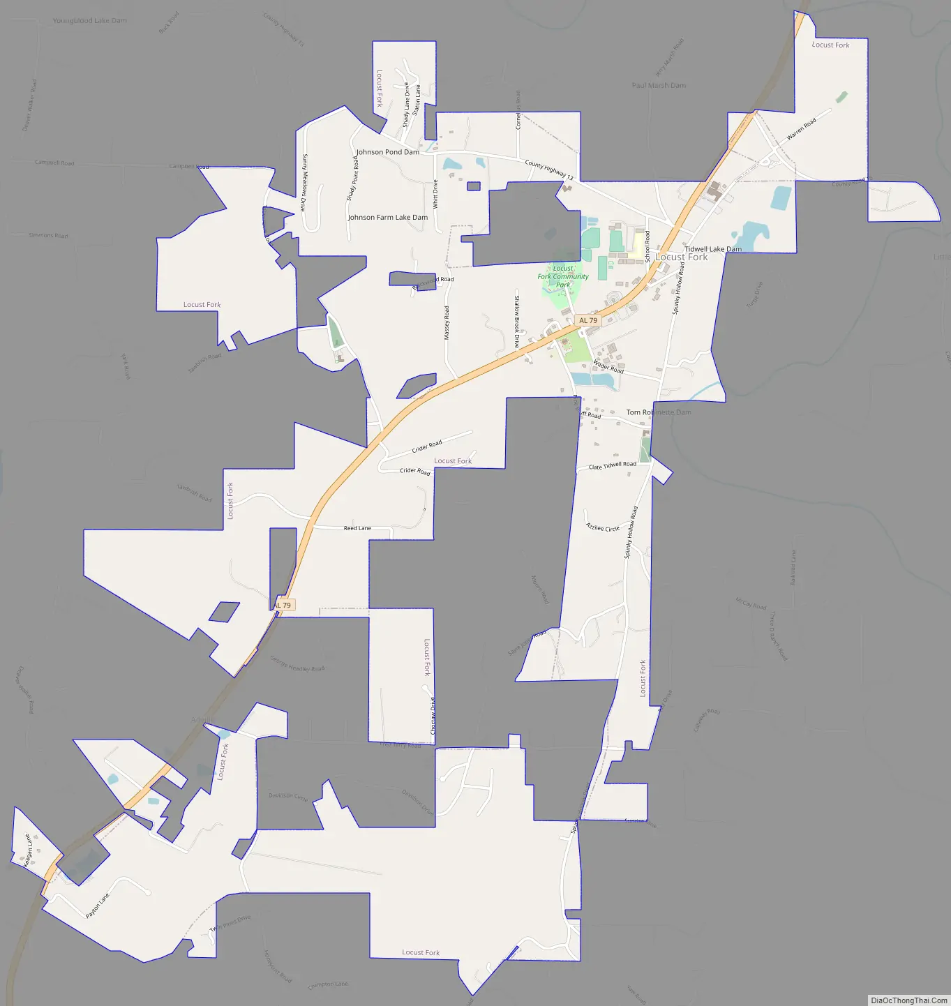
Locust Fork Road Map
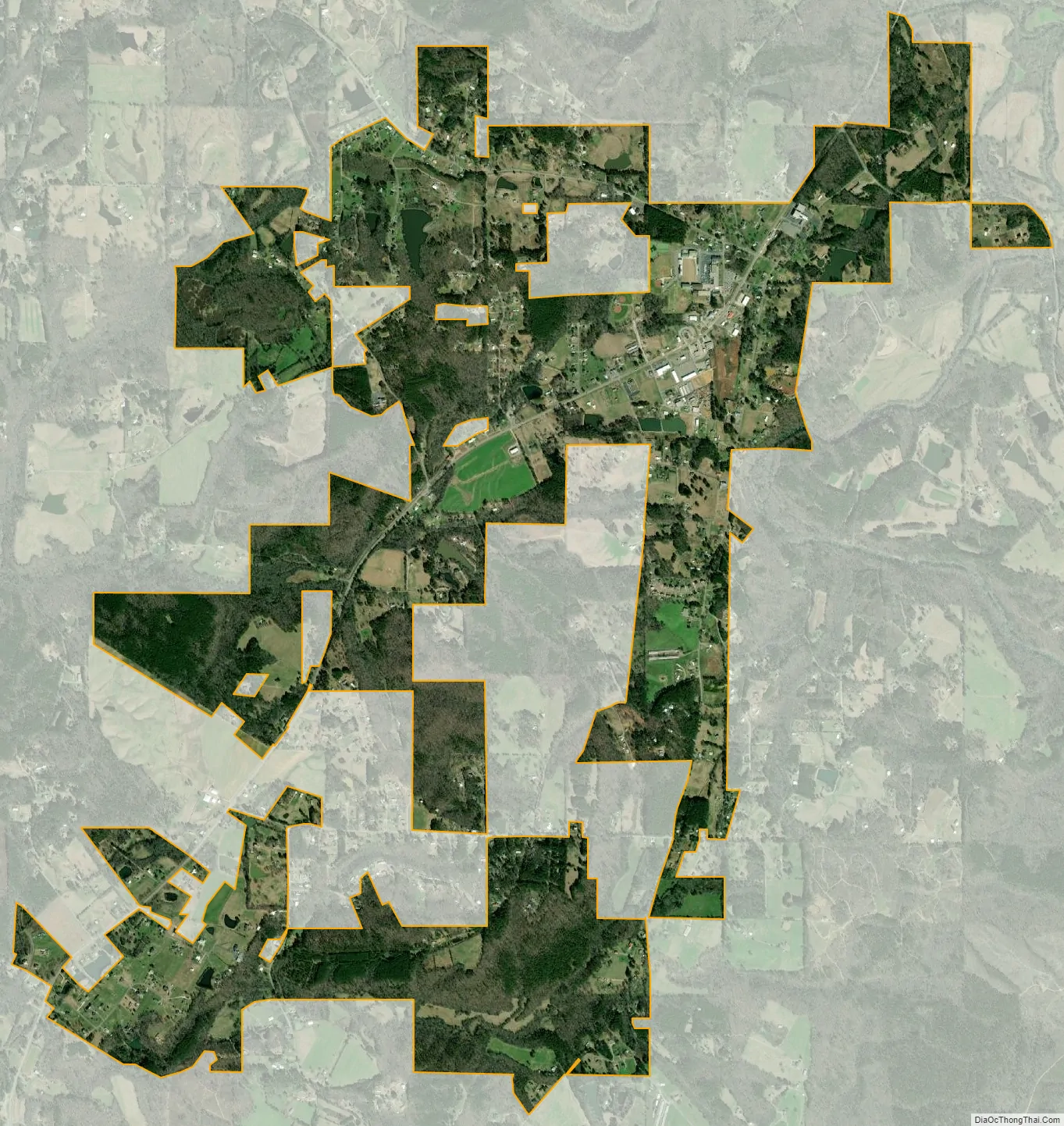
Locust Fork city Satellite Map
Geography
Locust Fork is located southwest of the center of Blount County, at 33°53’47.494″ North, 86°37’50.048″ West (33.896526, -86.630569). It is situated on a bluff overlooking the Blackburn Fork of the Little Warrior River. Just north of town, the Blackburn Fork enters the Little Warrior River, which flows into the Locust Fork of the Black Warrior River 2 miles (3 km) northwest of the town.
Locust Fork is located in one of the northeast-to-southwest valleys that make up the southern end of the Appalachian mountain chain. Sand Mountain forms the southeast side of the valley, and McAnnally Mountain and Hog Mountain form part of a broader, more broken ridge to the northwest. The area has been mined for coal over the past 100 years, but no current active coal mining operations exist in the immediate area, which consists of rolling hill farm country.
According to the U.S. Census Bureau, the town has a total area of 3.9 square miles (10.0 km), of which 0.015 square miles (0.04 km), or 0.37%, is water.
See also
Map of Alabama State and its subdivision:- Autauga
- Baldwin
- Barbour
- Bibb
- Blount
- Bullock
- Butler
- Calhoun
- Chambers
- Cherokee
- Chilton
- Choctaw
- Clarke
- Clay
- Cleburne
- Coffee
- Colbert
- Conecuh
- Coosa
- Covington
- Crenshaw
- Cullman
- Dale
- Dallas
- De Kalb
- Elmore
- Escambia
- Etowah
- Fayette
- Franklin
- Geneva
- Greene
- Hale
- Henry
- Houston
- Jackson
- Jefferson
- Lamar
- Lauderdale
- Lawrence
- Lee
- Limestone
- Lowndes
- Macon
- Madison
- Marengo
- Marion
- Marshall
- Mobile
- Monroe
- Montgomery
- Morgan
- Perry
- Pickens
- Pike
- Randolph
- Russell
- Saint Clair
- Shelby
- Sumter
- Talladega
- Tallapoosa
- Tuscaloosa
- Walker
- Washington
- Wilcox
- Winston
- Alabama
- Alaska
- Arizona
- Arkansas
- California
- Colorado
- Connecticut
- Delaware
- District of Columbia
- Florida
- Georgia
- Hawaii
- Idaho
- Illinois
- Indiana
- Iowa
- Kansas
- Kentucky
- Louisiana
- Maine
- Maryland
- Massachusetts
- Michigan
- Minnesota
- Mississippi
- Missouri
- Montana
- Nebraska
- Nevada
- New Hampshire
- New Jersey
- New Mexico
- New York
- North Carolina
- North Dakota
- Ohio
- Oklahoma
- Oregon
- Pennsylvania
- Rhode Island
- South Carolina
- South Dakota
- Tennessee
- Texas
- Utah
- Vermont
- Virginia
- Washington
- West Virginia
- Wisconsin
- Wyoming