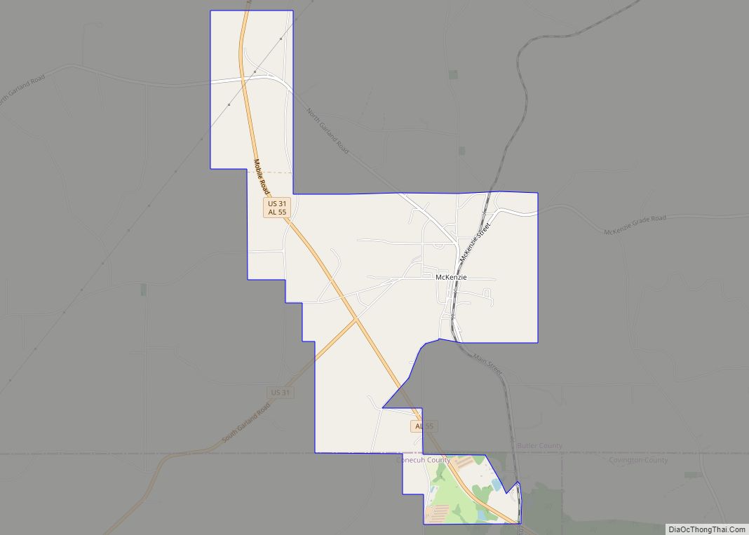
McKenzie is a town in Butler and Conecuh counties in the U.S. state of Alabama. The population was 530 at the 2010 census.
| Name: | McKenzie town |
|---|---|
| LSAD Code: | 43 |
| LSAD Description: | town (suffix) |
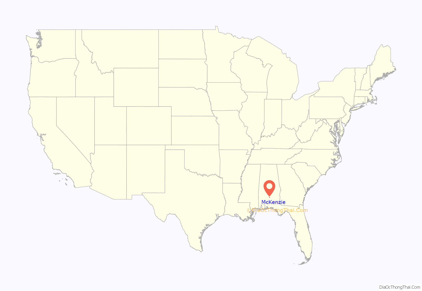
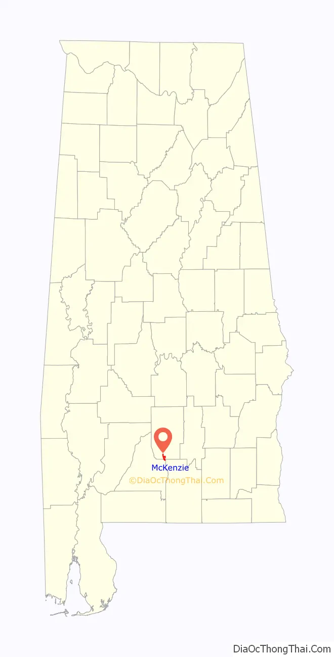
| State: | Alabama |
| County: | Butler County, Conecuh County |
| Elevation: | 453 ft (138 m) |
| Total Area: | 3.74 sq mi (9.69 km²) |
| Land Area: | 3.72 sq mi (9.64 km²) |
| Water Area: | 0.02 sq mi (0.04 km²) |
| Total Population: | 507 |
| Population Density: | 136.14/sq mi (52.57/km²) |
| ZIP code: | 36456 |
| Area code: | 334 |
| FIPS code: | 0145496 |
| GNISfeature ID: | 0122435 |
Online Interactive Map
Click on ![]() to view map in "full screen" mode.
to view map in "full screen" mode.
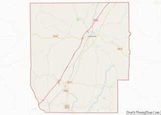
McKenzie location map. Where is McKenzie town?
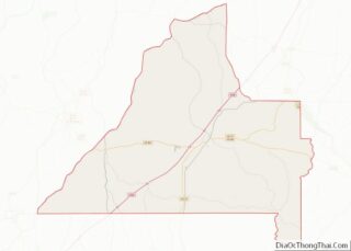
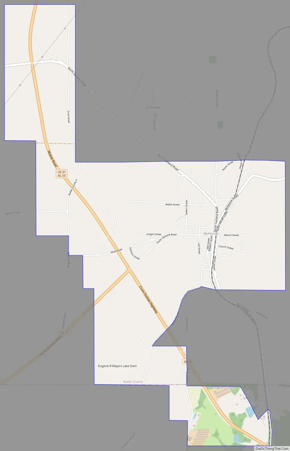
McKenzie Road Map
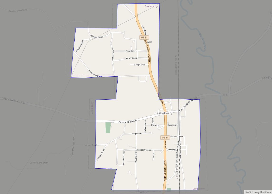
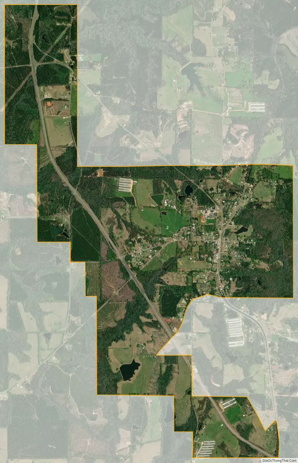
McKenzie city Satellite Map
Geography
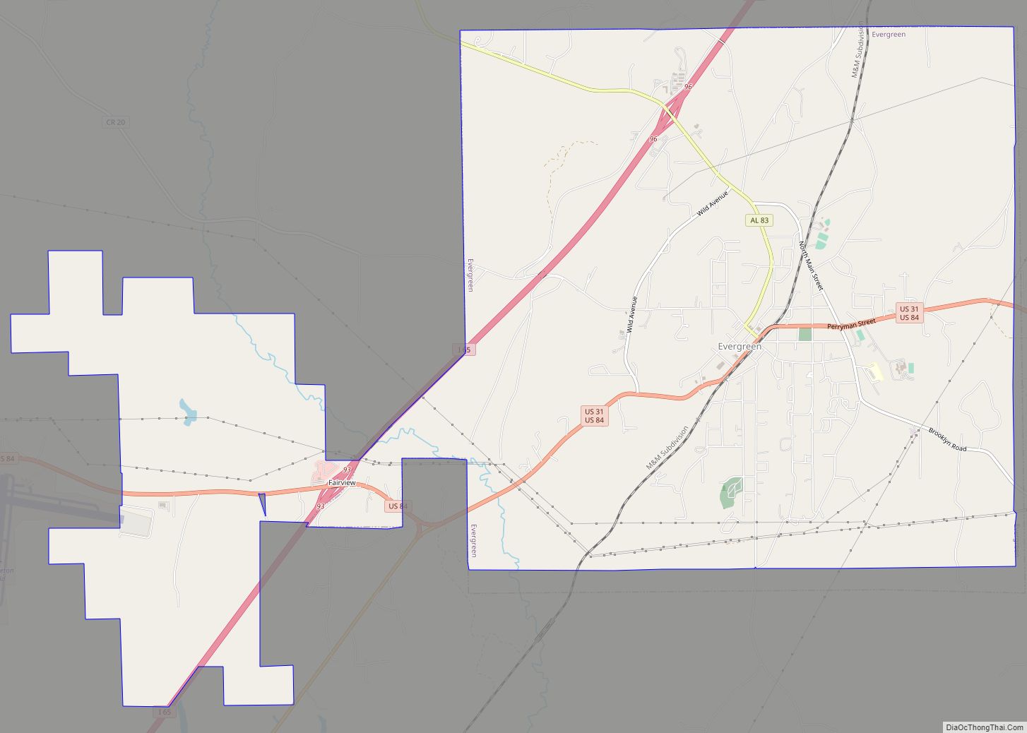
McKenzie is located in southern Butler County at 31°32′34″N 86°43′11″W / 31.54278°N 86.71972°W / 31.54278; -86.71972 (31.542801, -86.719772). A portion of the town extends south into Conecuh County. U.S. Route 31 passes to the west of the town center, leading north 23 miles (37 km) to Greenville, the Butler County seat, and southwest 19 miles (31 km) to Evergreen, the Conecuh County seat. State Route 55 leads southeast from McKenzie 23 miles (37 km) to Andalusia.
According to the United States Census Bureau, McKenzie has a total area of 3.7 square miles (9.7 km), of which 0.015 square miles (0.04 km), or 0.45%, is water.
See also
Map of Alabama State and its subdivision:- Autauga
- Baldwin
- Barbour
- Bibb
- Blount
- Bullock
- Butler
- Calhoun
- Chambers
- Cherokee
- Chilton
- Choctaw
- Clarke
- Clay
- Cleburne
- Coffee
- Colbert
- Conecuh
- Coosa
- Covington
- Crenshaw
- Cullman
- Dale
- Dallas
- De Kalb
- Elmore
- Escambia
- Etowah
- Fayette
- Franklin
- Geneva
- Greene
- Hale
- Henry
- Houston
- Jackson
- Jefferson
- Lamar
- Lauderdale
- Lawrence
- Lee
- Limestone
- Lowndes
- Macon
- Madison
- Marengo
- Marion
- Marshall
- Mobile
- Monroe
- Montgomery
- Morgan
- Perry
- Pickens
- Pike
- Randolph
- Russell
- Saint Clair
- Shelby
- Sumter
- Talladega
- Tallapoosa
- Tuscaloosa
- Walker
- Washington
- Wilcox
- Winston
- Alabama
- Alaska
- Arizona
- Arkansas
- California
- Colorado
- Connecticut
- Delaware
- District of Columbia
- Florida
- Georgia
- Hawaii
- Idaho
- Illinois
- Indiana
- Iowa
- Kansas
- Kentucky
- Louisiana
- Maine
- Maryland
- Massachusetts
- Michigan
- Minnesota
- Mississippi
- Missouri
- Montana
- Nebraska
- Nevada
- New Hampshire
- New Jersey
- New Mexico
- New York
- North Carolina
- North Dakota
- Ohio
- Oklahoma
- Oregon
- Pennsylvania
- Rhode Island
- South Carolina
- South Dakota
- Tennessee
- Texas
- Utah
- Vermont
- Virginia
- Washington
- West Virginia
- Wisconsin
- Wyoming