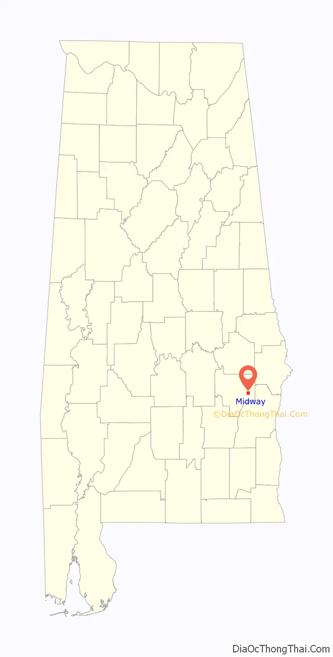
Midway is a town located in eastern Bullock County, Alabama, United States. At the 2020 census, the population was 421.
| Name: | Midway town |
|---|---|
| LSAD Code: | 43 |
| LSAD Description: | town (suffix) |
| State: | Alabama |
| County: | Bullock County |
| Elevation: | 538 ft (164 m) |
| Total Area: | 3.31 sq mi (8.57 km²) |
| Land Area: | 3.31 sq mi (8.57 km²) |
| Water Area: | 0.00 sq mi (0.00 km²) |
| Total Population: | 421 |
| Population Density: | 127.23/sq mi (49.12/km²) |
| FIPS code: | 0148424 |
| GNISfeature ID: | 0122703 |
Online Interactive Map
Click on ![]() to view map in "full screen" mode.
to view map in "full screen" mode.
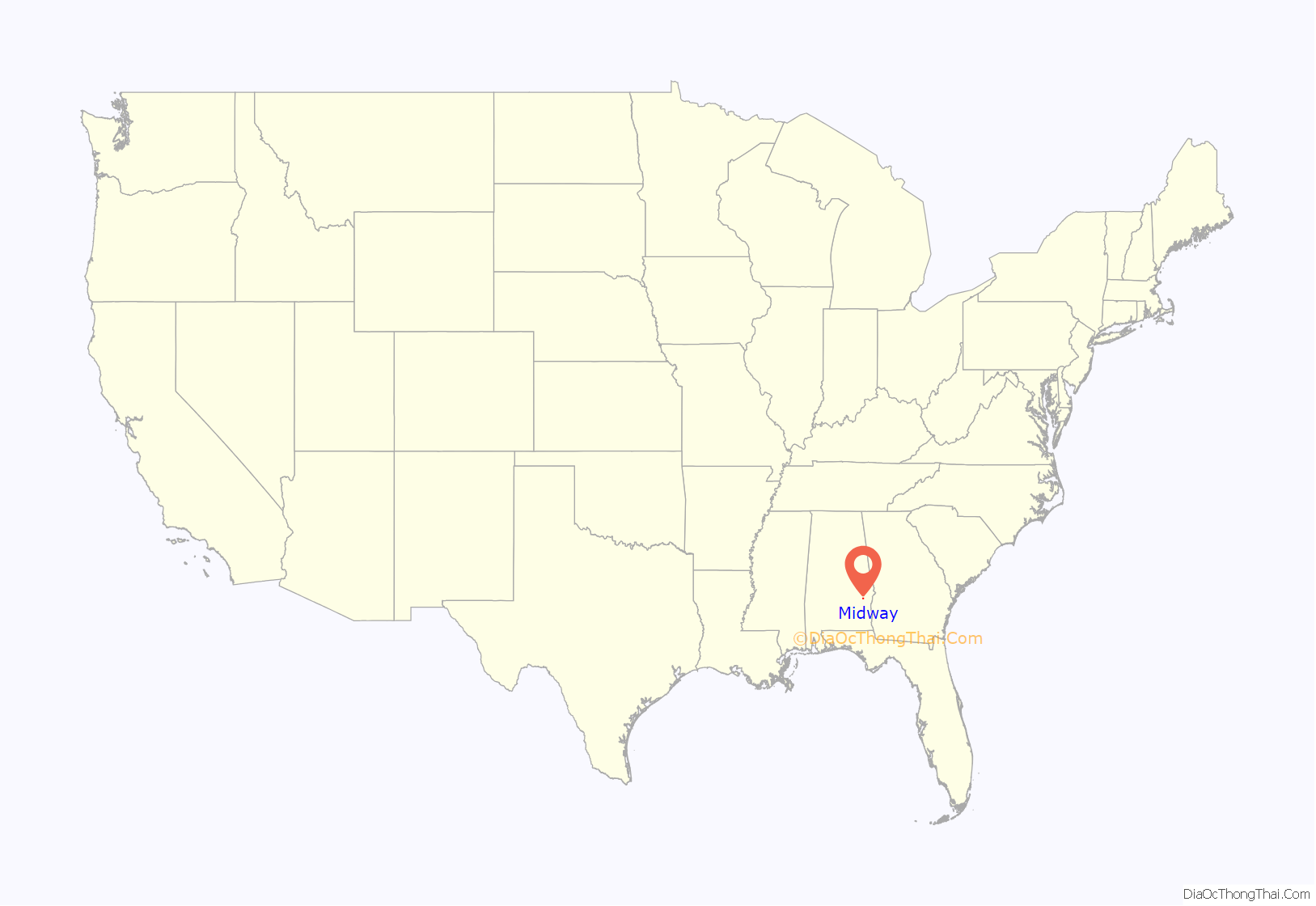
Midway location map. Where is Midway town?
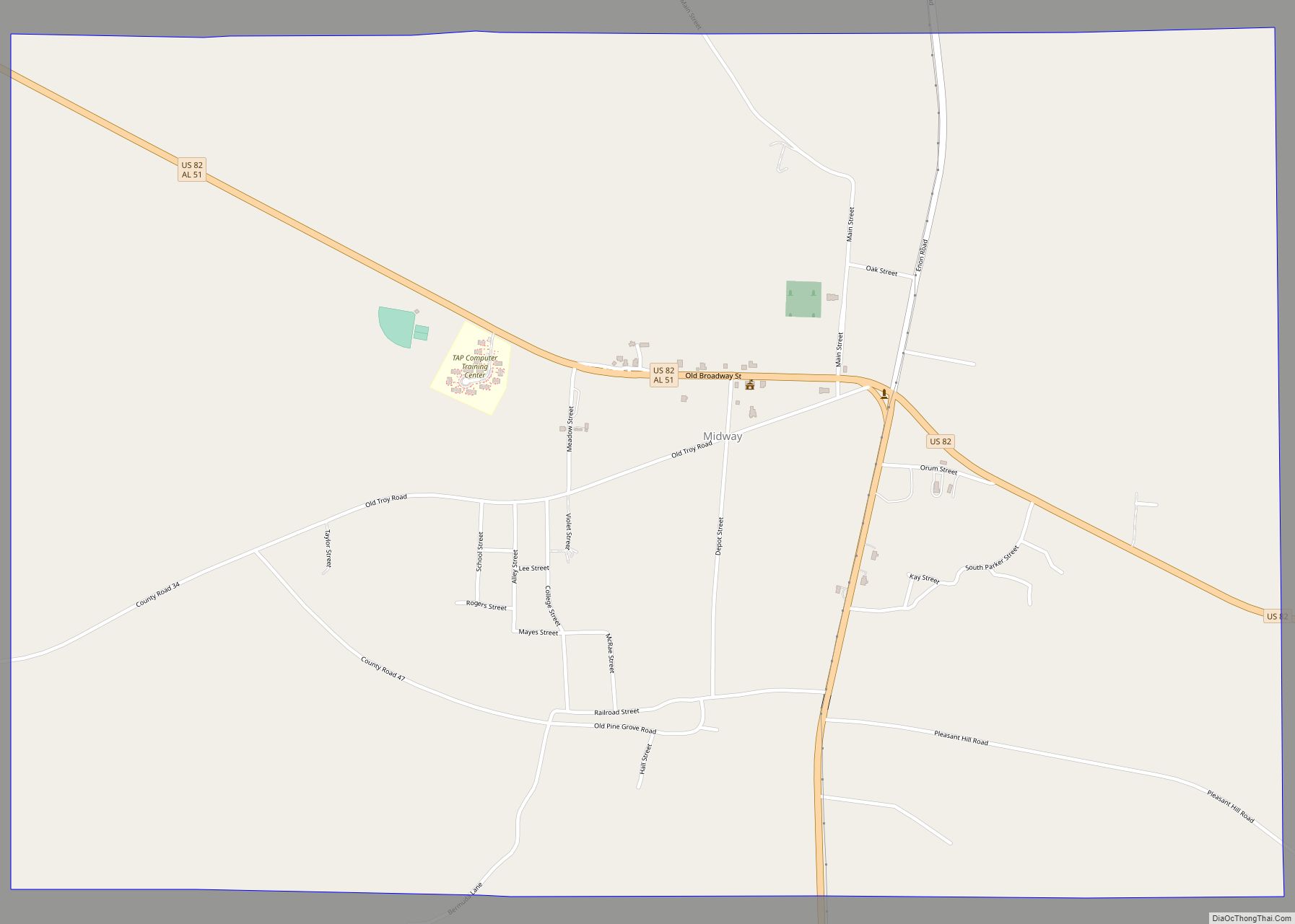
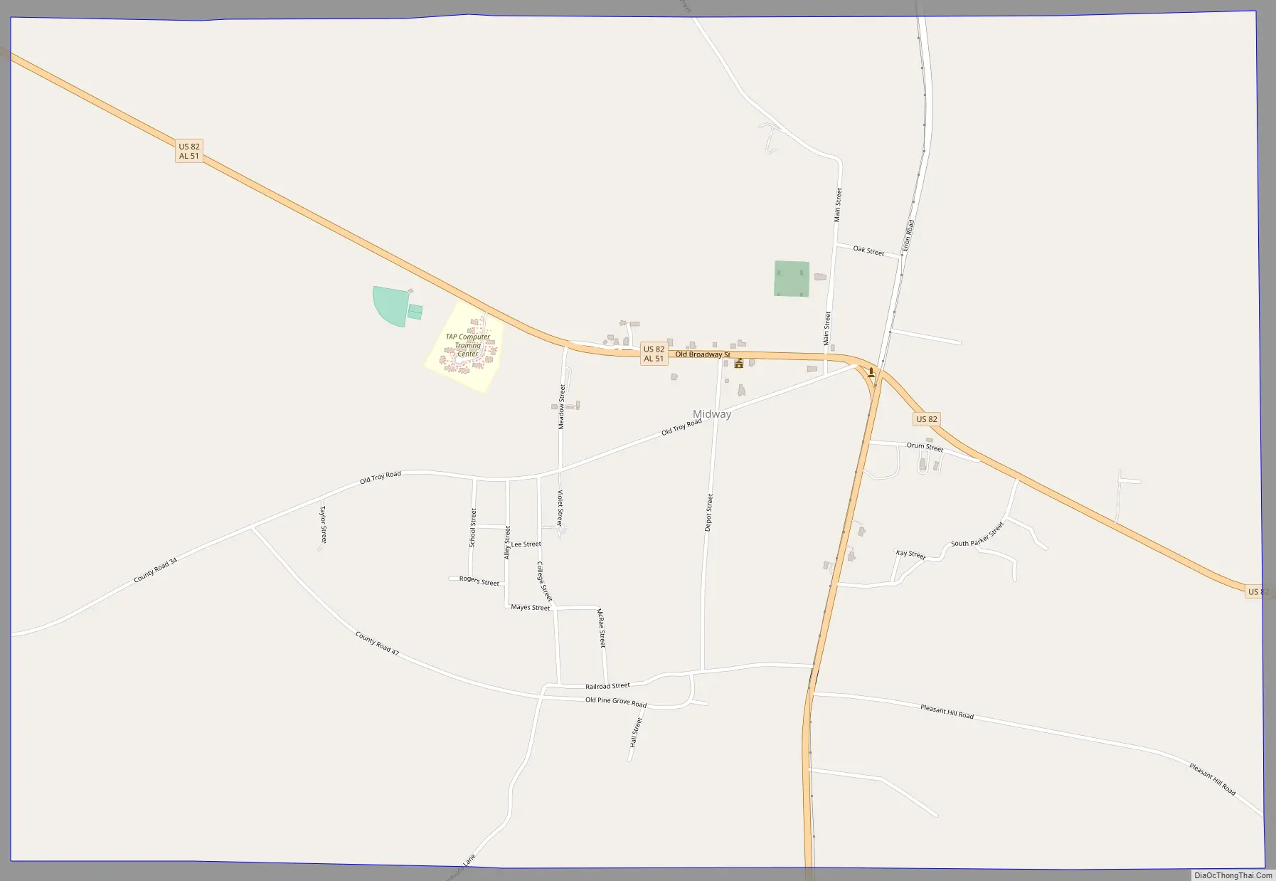
Midway Road Map
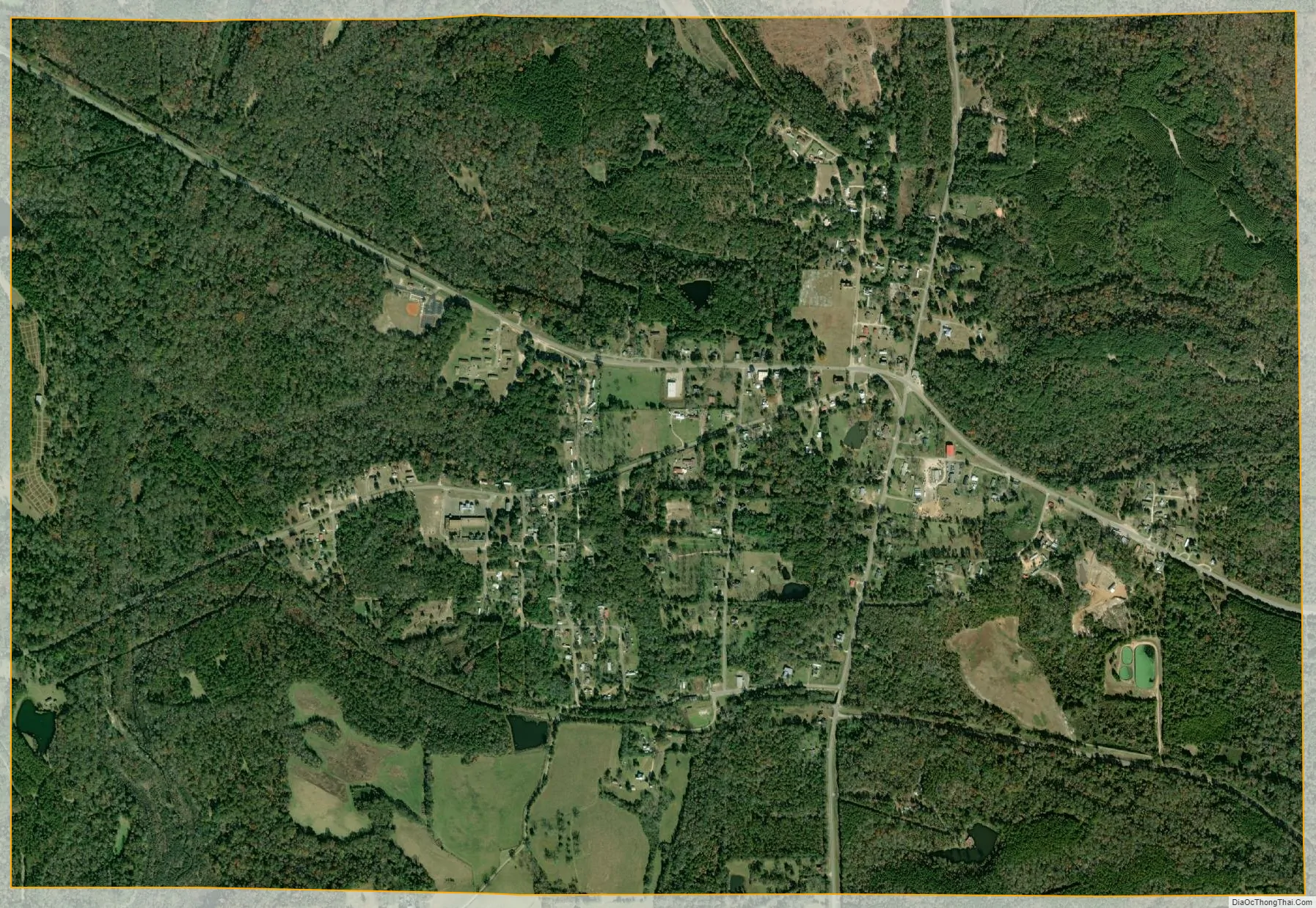
Midway city Satellite Map
Geography
Midway is located in eastern Bullock County at 32°4’27.854″ North, 85°31’12.857″ West (32.074404, −85.520238).
According to the U.S. Census Bureau, the town has a total area of 1.6 square miles (4.1 km), all land.
Midway is located on the U.S. Route 82, the Jefferson Davis Highway, 13 miles (21 km) east of Union Springs, the county seat. It is 27 miles (43 km) east to Eufaula via US-82. Alabama State Route 51 leads south 16 miles (26 km) to Clayton.
See also
Map of Alabama State and its subdivision:- Autauga
- Baldwin
- Barbour
- Bibb
- Blount
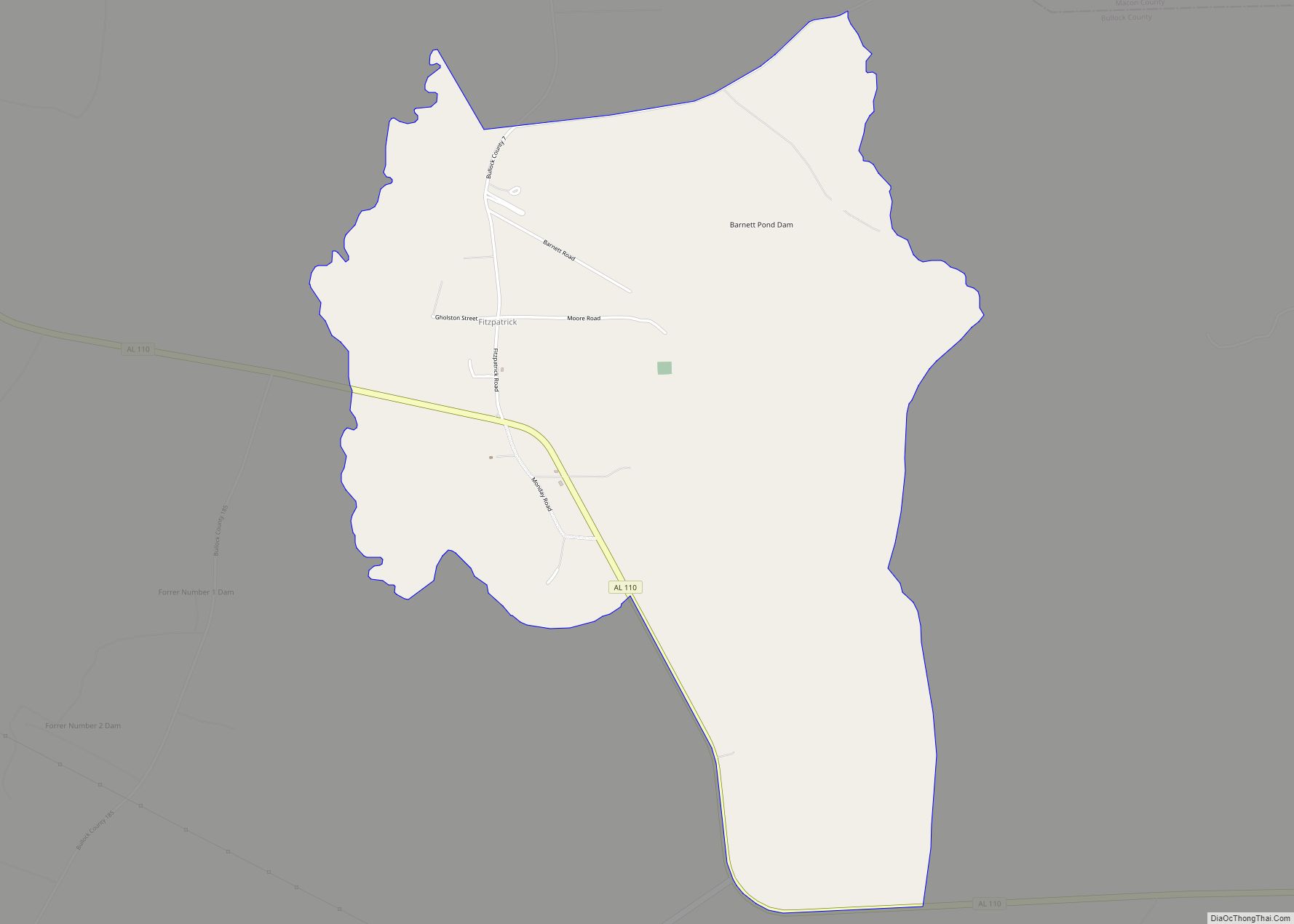
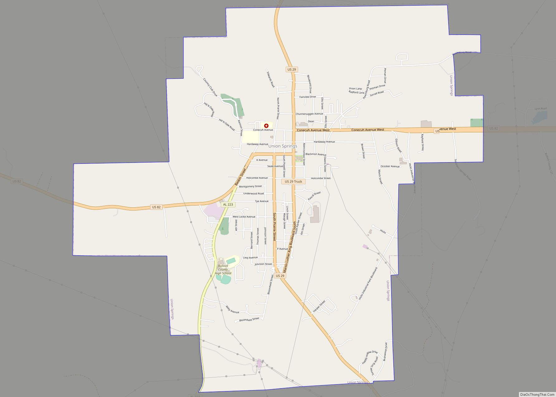
- Bullock
- Butler
- Calhoun
- Chambers
- Cherokee
- Chilton
- Choctaw
- Clarke
- Clay
- Cleburne
- Coffee
- Colbert
- Conecuh
- Coosa
- Covington
- Crenshaw
- Cullman
- Dale
- Dallas
- De Kalb
- Elmore
- Escambia
- Etowah
- Fayette
- Franklin
- Geneva
- Greene
- Hale
- Henry
- Houston
- Jackson
- Jefferson
- Lamar
- Lauderdale
- Lawrence
- Lee
- Limestone
- Lowndes
- Macon
- Madison
- Marengo
- Marion
- Marshall
- Mobile
- Monroe
- Montgomery
- Morgan
- Perry
- Pickens
- Pike
- Randolph
- Russell
- Saint Clair
- Shelby
- Sumter
- Talladega
- Tallapoosa
- Tuscaloosa
- Walker
- Washington
- Wilcox
- Winston
- Alabama
- Alaska
- Arizona
- Arkansas
- California
- Colorado
- Connecticut
- Delaware
- District of Columbia
- Florida
- Georgia
- Hawaii
- Idaho
- Illinois
- Indiana
- Iowa
- Kansas
- Kentucky
- Louisiana
- Maine
- Maryland
- Massachusetts
- Michigan
- Minnesota
- Mississippi
- Missouri
- Montana
- Nebraska
- Nevada
- New Hampshire
- New Jersey
- New Mexico
- New York
- North Carolina
- North Dakota
- Ohio
- Oklahoma
- Oregon
- Pennsylvania
- Rhode Island
- South Carolina
- South Dakota
- Tennessee
- Texas
- Utah
- Vermont
- Virginia
- Washington
- West Virginia
- Wisconsin
- Wyoming