Notasulga is a town in Lee and Macon counties in the U.S. state of Alabama. As of the 2020 census, the population of the town was 914. The portion in Lee County is part of the Auburn Metropolitan Area. According to the 1910 U.S. Census, it incorporated in 1893. Author Zora Neale Hurston was born in Notasulga in 1891. The town name comes from the Creek words noti sulgi, which means “many teeth”.
| Name: | Notasulga town |
|---|---|
| LSAD Code: | 43 |
| LSAD Description: | town (suffix) |
| State: | Alabama |
| County: | Lee County, Macon County |
| Elevation: | 512 ft (156 m) |
| Total Area: | 14.12 sq mi (36.57 km²) |
| Land Area: | 13.97 sq mi (36.17 km²) |
| Water Area: | 0.15 sq mi (0.40 km²) |
| Total Population: | 914 |
| Population Density: | 65.4/sq mi (25.27/km²) |
| ZIP code: | 36866 |
| Area code: | 334 |
| FIPS code: | 0155440 |
| GNISfeature ID: | 0152715 |
Online Interactive Map
Click on ![]() to view map in "full screen" mode.
to view map in "full screen" mode.
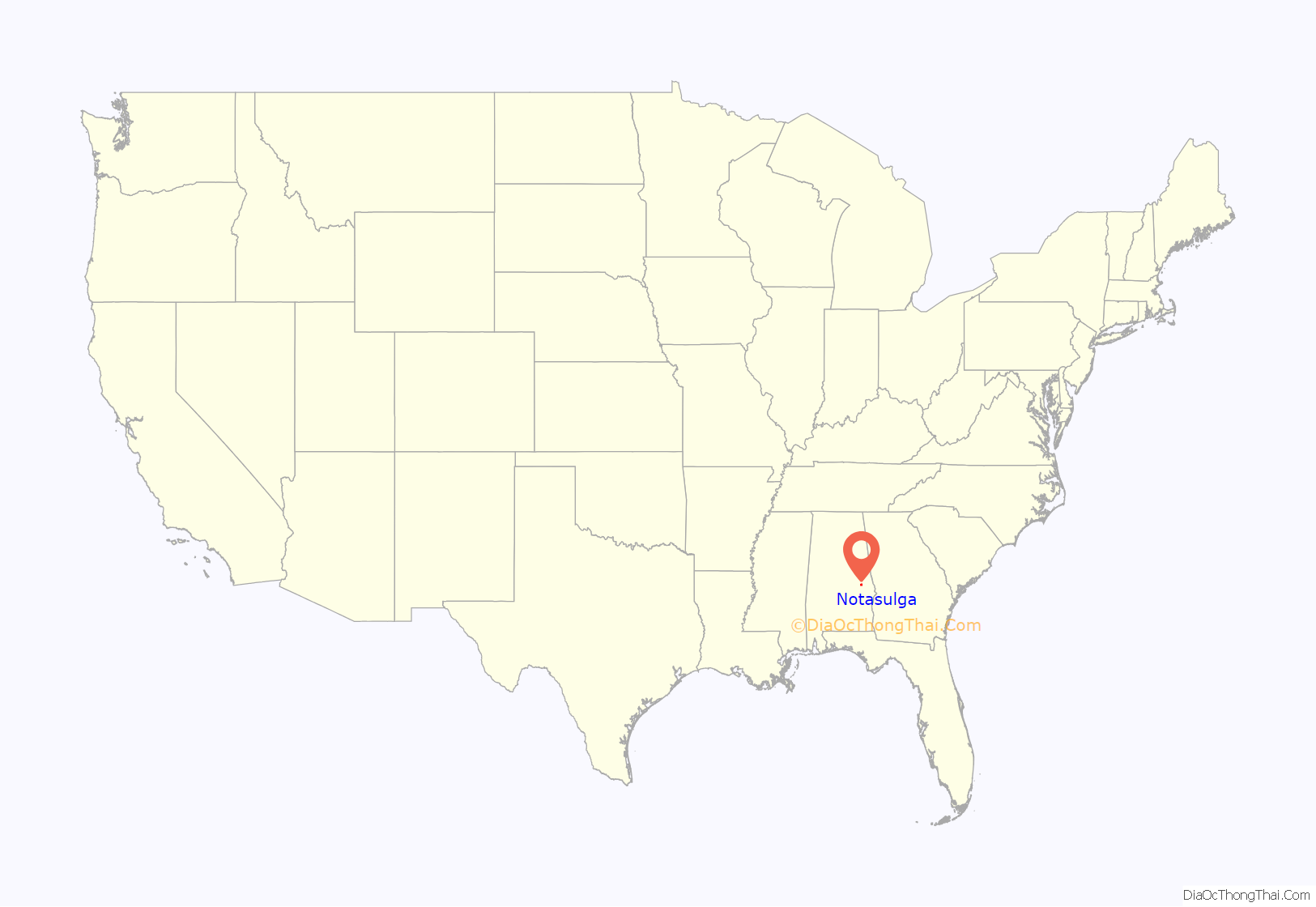
Notasulga location map. Where is Notasulga town?
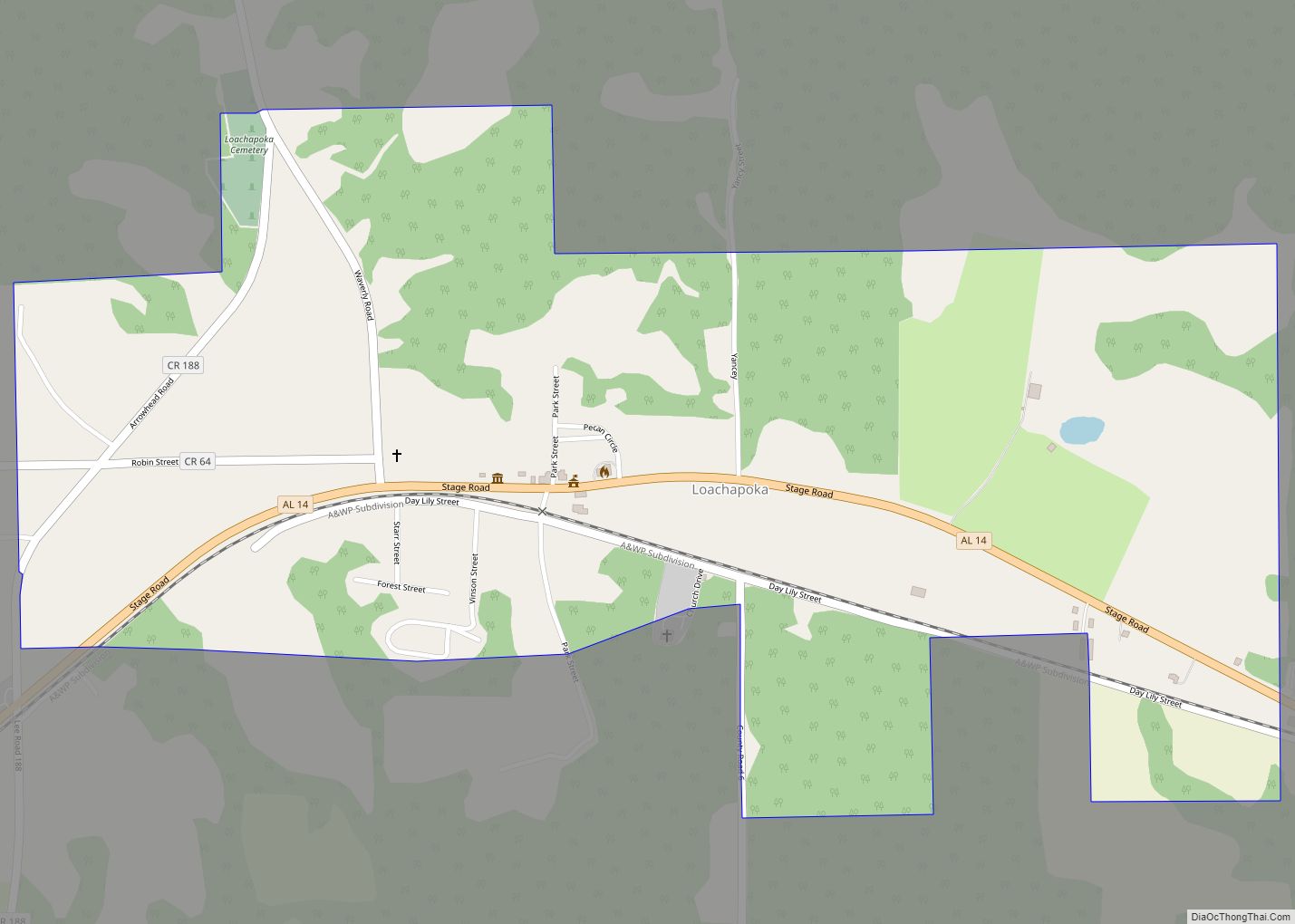
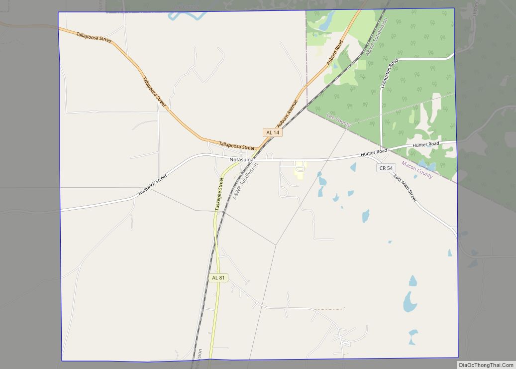
Notasulga Road Map
Notasulga city Satellite Map
Geography
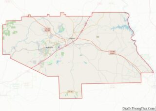
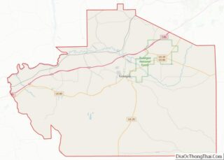
Notasulga is located in northern Macon County at 32°33′39″N 85°40′3″W / 32.56083°N 85.66750°W / 32.56083; -85.66750 (32.560821, -85.667631). The town extends northeast into the western part of Lee County.
According to the U.S. Census Bureau, the town has a total area of 14.1 square miles (36.6 km), of which 14.0 square miles (36.2 km) are land and 0.2 square miles (0.4 km), or 1.09%, are water. The center of town is on a height of land, draining north to Sougahatchee Creek, a west-flowing tributary of the Tallapoosa River, and south to Red Creek, a tributary of Uphapee Creek, which also flows west to the Tallapoosa.
See also
Map of Alabama State and its subdivision:- Autauga
- Baldwin
- Barbour
- Bibb
- Blount
- Bullock
- Butler
- Calhoun
- Chambers
- Cherokee
- Chilton
- Choctaw
- Clarke
- Clay
- Cleburne
- Coffee
- Colbert
- Conecuh
- Coosa
- Covington
- Crenshaw
- Cullman
- Dale
- Dallas
- De Kalb
- Elmore
- Escambia
- Etowah
- Fayette
- Franklin
- Geneva
- Greene
- Hale
- Henry
- Houston
- Jackson
- Jefferson
- Lamar
- Lauderdale
- Lawrence
- Lee
- Limestone
- Lowndes
- Macon
- Madison
- Marengo
- Marion
- Marshall
- Mobile
- Monroe
- Montgomery
- Morgan
- Perry
- Pickens
- Pike
- Randolph
- Russell
- Saint Clair
- Shelby
- Sumter
- Talladega
- Tallapoosa
- Tuscaloosa
- Walker
- Washington
- Wilcox
- Winston
- Alabama
- Alaska
- Arizona
- Arkansas
- California
- Colorado
- Connecticut
- Delaware
- District of Columbia
- Florida
- Georgia
- Hawaii
- Idaho
- Illinois
- Indiana
- Iowa
- Kansas
- Kentucky
- Louisiana
- Maine
- Maryland
- Massachusetts
- Michigan
- Minnesota
- Mississippi
- Missouri
- Montana
- Nebraska
- Nevada
- New Hampshire
- New Jersey
- New Mexico
- New York
- North Carolina
- North Dakota
- Ohio
- Oklahoma
- Oregon
- Pennsylvania
- Rhode Island
- South Carolina
- South Dakota
- Tennessee
- Texas
- Utah
- Vermont
- Virginia
- Washington
- West Virginia
- Wisconsin
- Wyoming
