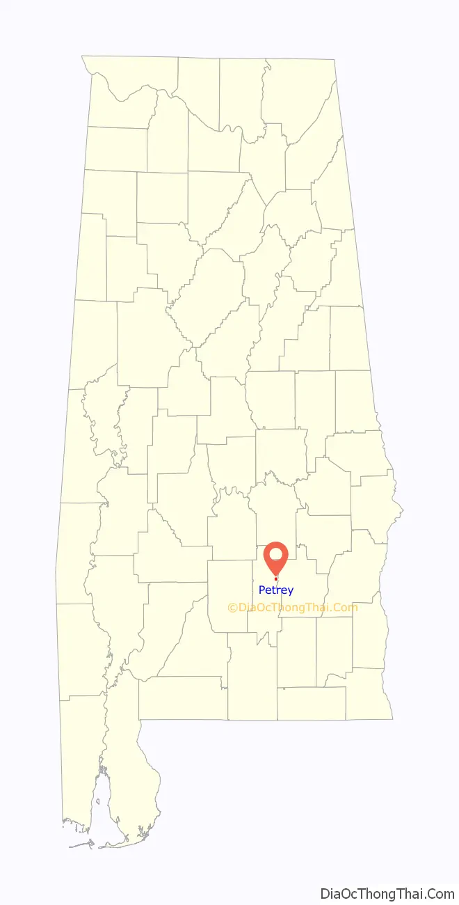
Petrey is a town in Crenshaw County, Alabama, United States. The population was 58 at the 2010 census.
| Name: | Petrey town |
|---|---|
| LSAD Code: | 43 |
| LSAD Description: | town (suffix) |
| State: | Alabama |
| County: | Crenshaw County |
| Elevation: | 364 ft (111 m) |
| Total Area: | 0.75 sq mi (1.94 km²) |
| Land Area: | 0.73 sq mi (1.90 km²) |
| Water Area: | 0.02 sq mi (0.04 km²) |
| Total Population: | 67 |
| Population Density: | 91.28/sq mi (35.26/km²) |
| ZIP code: | 36062 |
| Area code: | 334 |
| FIPS code: | 0159328 |
| GNISfeature ID: | 0124652 |
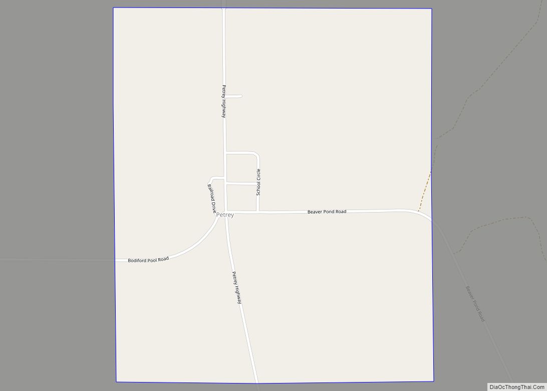
Online Interactive Map
Click on ![]() to view map in "full screen" mode.
to view map in "full screen" mode.
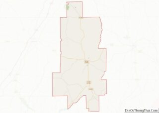
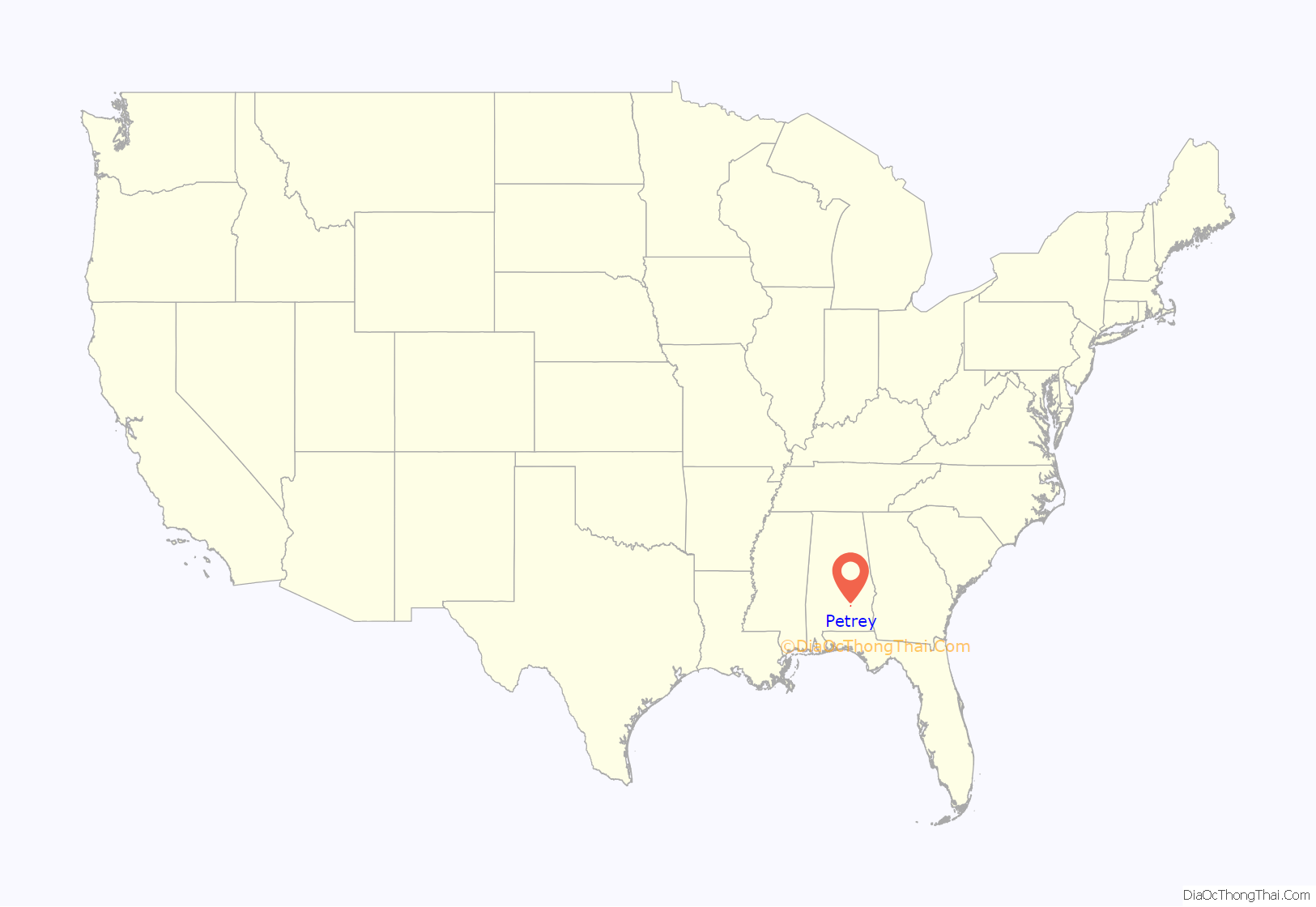
Petrey location map. Where is Petrey town?
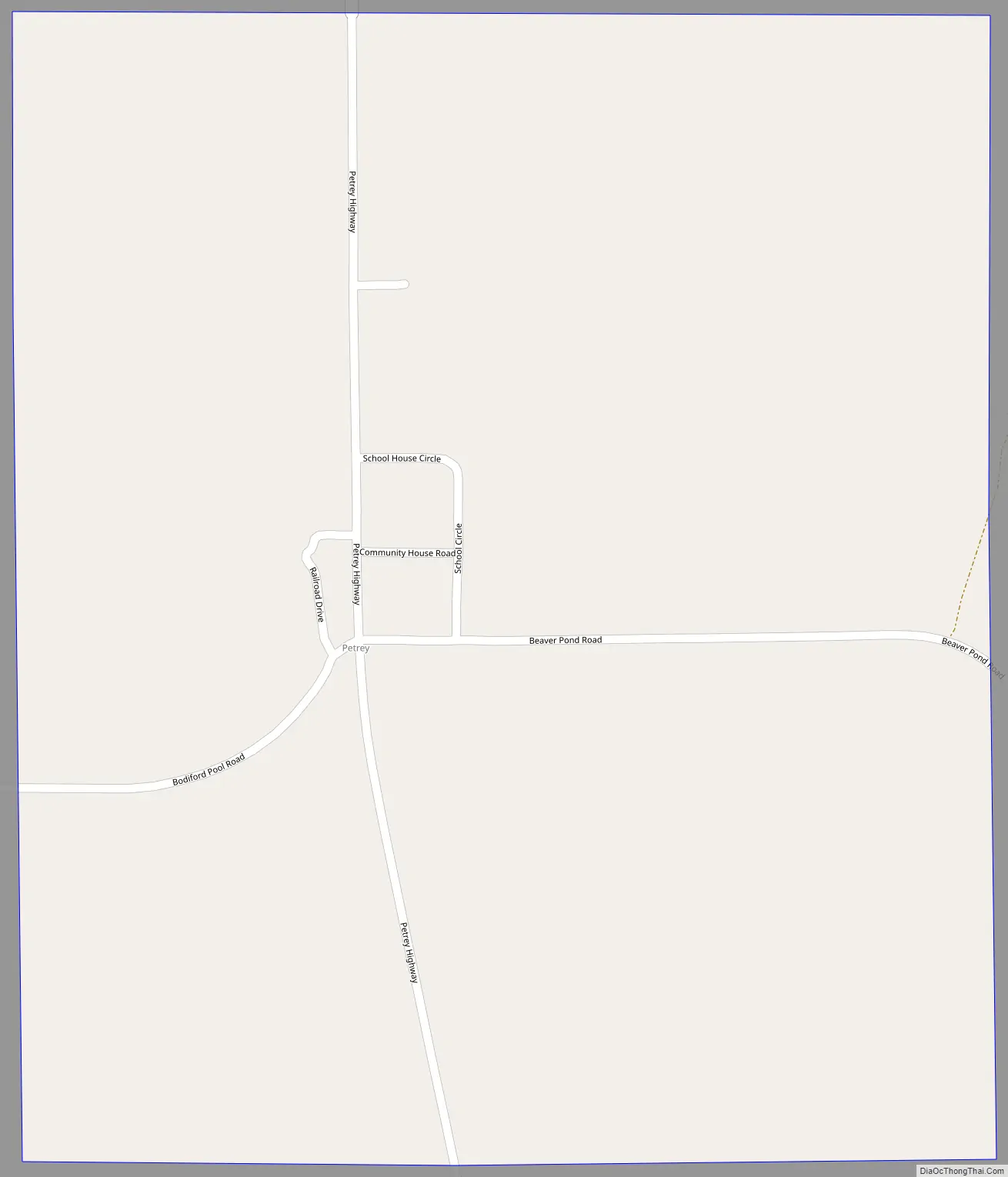
Petrey Road Map
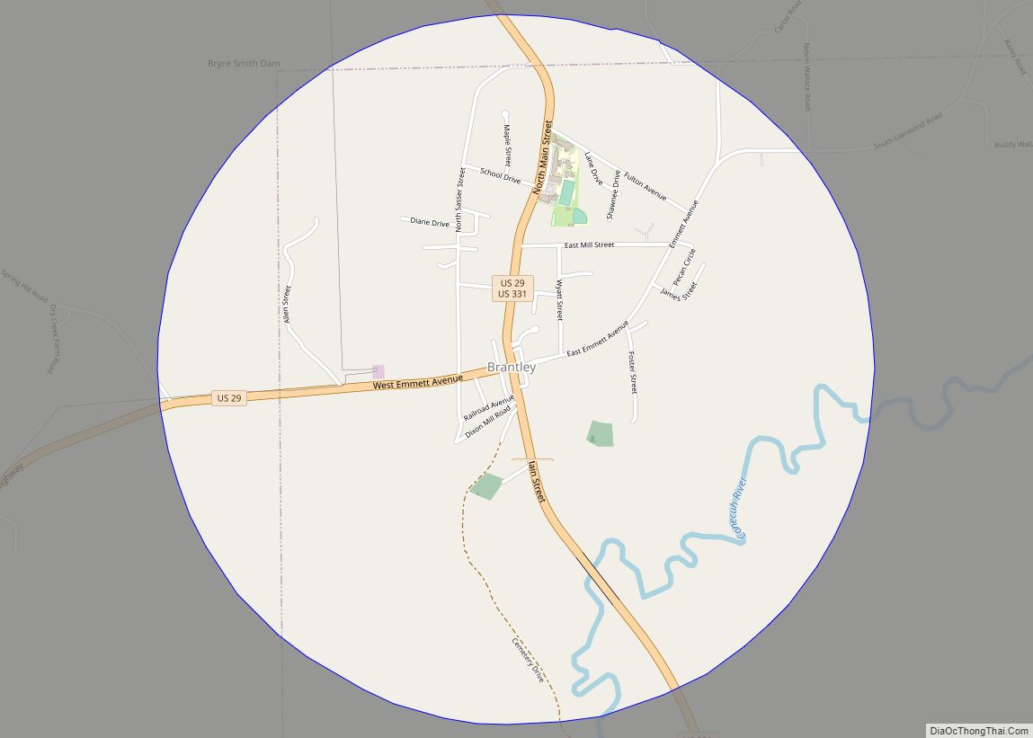
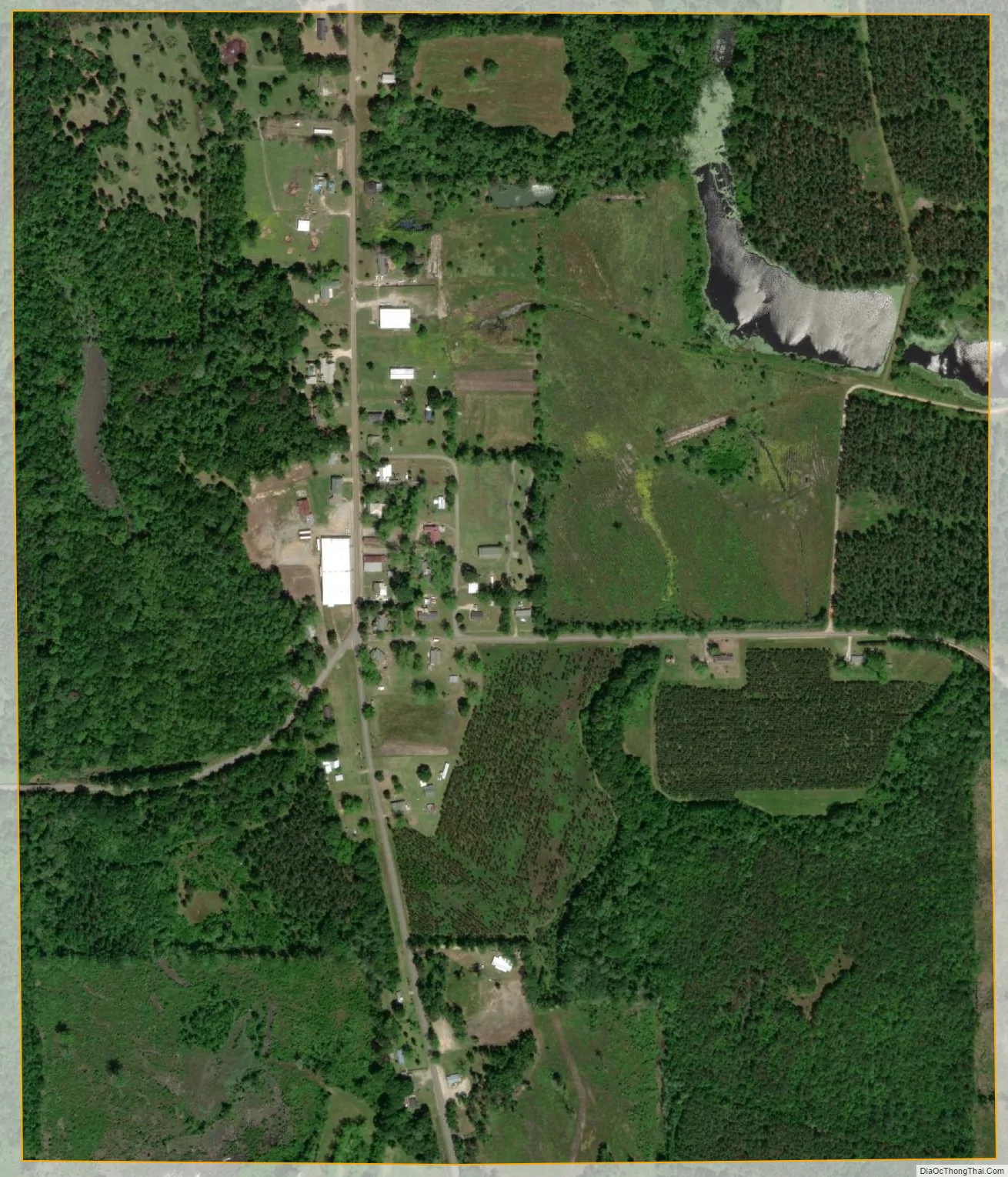
Petrey city Satellite Map
Geography
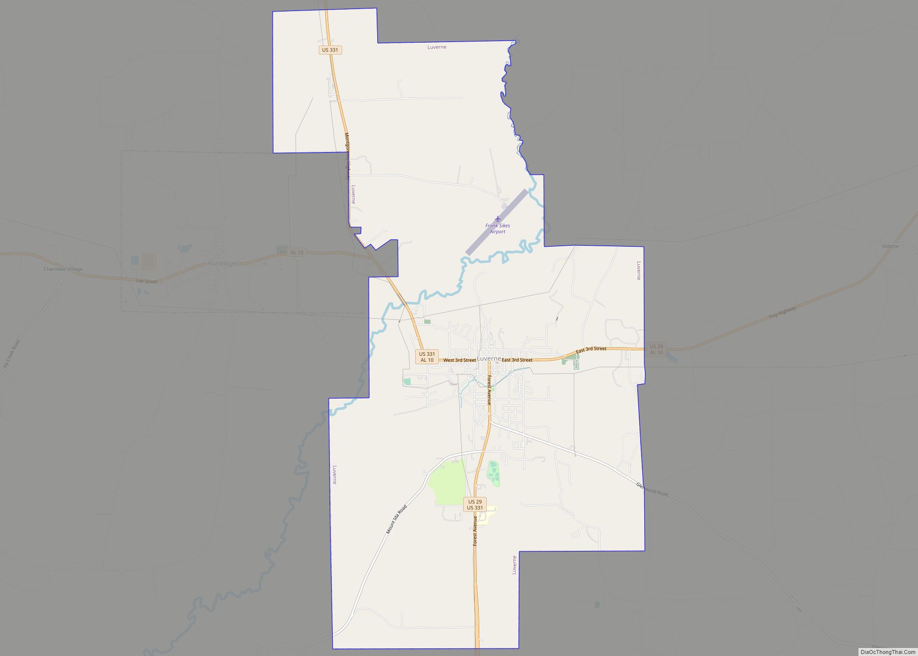
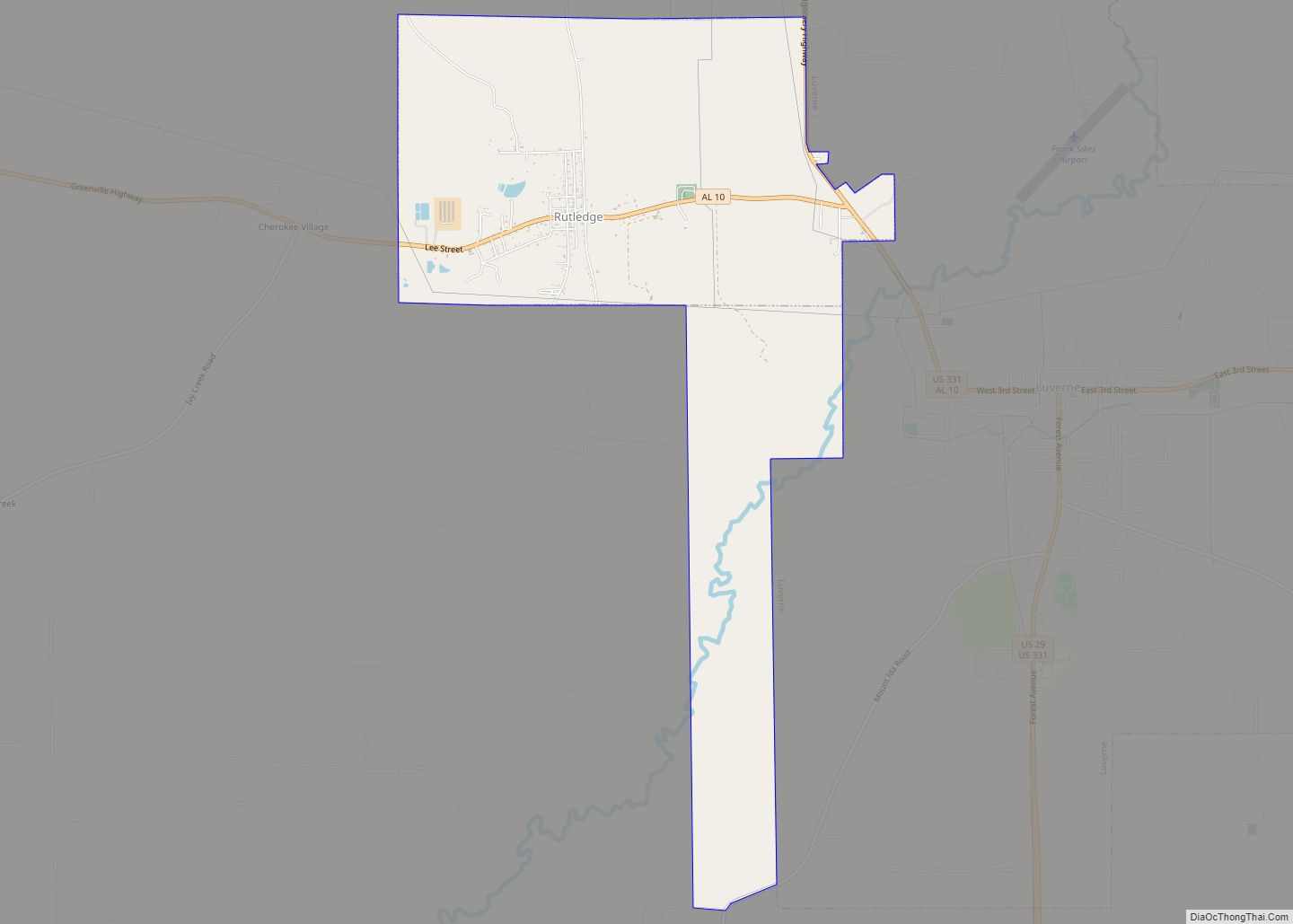
Petrey is located in northeastern Crenshaw County at 31°51′1″N 86°12′26″W / 31.85028°N 86.20722°W / 31.85028; -86.20722 (31.850329, −86.207212).
According to the U.S. Census Bureau, the town has a total area of 0.73 square miles (1.9 km), of which 0.02 square miles (0.04 km), or 2.21%, is water.
The town of Petrey was named after a man who owned a large cotton plantation. The railroad wanted to use some of his land, and he agreed. The railroad company established a train station on the land, and named it after him.
See also
Map of Alabama State and its subdivision:- Autauga
- Baldwin
- Barbour
- Bibb
- Blount
- Bullock
- Butler
- Calhoun
- Chambers
- Cherokee
- Chilton
- Choctaw
- Clarke
- Clay
- Cleburne
- Coffee
- Colbert
- Conecuh
- Coosa
- Covington
- Crenshaw
- Cullman
- Dale
- Dallas
- De Kalb
- Elmore
- Escambia
- Etowah
- Fayette
- Franklin
- Geneva
- Greene
- Hale
- Henry
- Houston
- Jackson
- Jefferson
- Lamar
- Lauderdale
- Lawrence
- Lee
- Limestone
- Lowndes
- Macon
- Madison
- Marengo
- Marion
- Marshall
- Mobile
- Monroe
- Montgomery
- Morgan
- Perry
- Pickens
- Pike
- Randolph
- Russell
- Saint Clair
- Shelby
- Sumter
- Talladega
- Tallapoosa
- Tuscaloosa
- Walker
- Washington
- Wilcox
- Winston
- Alabama
- Alaska
- Arizona
- Arkansas
- California
- Colorado
- Connecticut
- Delaware
- District of Columbia
- Florida
- Georgia
- Hawaii
- Idaho
- Illinois
- Indiana
- Iowa
- Kansas
- Kentucky
- Louisiana
- Maine
- Maryland
- Massachusetts
- Michigan
- Minnesota
- Mississippi
- Missouri
- Montana
- Nebraska
- Nevada
- New Hampshire
- New Jersey
- New Mexico
- New York
- North Carolina
- North Dakota
- Ohio
- Oklahoma
- Oregon
- Pennsylvania
- Rhode Island
- South Carolina
- South Dakota
- Tennessee
- Texas
- Utah
- Vermont
- Virginia
- Washington
- West Virginia
- Wisconsin
- Wyoming