Rainsville is a city in DeKalb County, Alabama, United States. At the 2010 census the population was 4,948, up from 4,499 in 2000. Rainsville is located on top of Sand Mountain, a southern extension of the Cumberland Plateau.
| Name: | Rainsville city |
|---|---|
| LSAD Code: | 25 |
| LSAD Description: | city (suffix) |
| State: | Alabama |
| County: | DeKalb County |
| Elevation: | 1,296 ft (395 m) |
| Total Area: | 20.71 sq mi (53.63 km²) |
| Land Area: | 20.69 sq mi (53.59 km²) |
| Water Area: | 0.01 sq mi (0.04 km²) |
| Total Population: | 5,505 |
| Population Density: | 266.03/sq mi (102.72/km²) |
| ZIP code: | 35986 |
| Area code: | 256 |
| FIPS code: | 0163336 |
| GNISfeature ID: | 2404589 |
| Website: | www.rainsvillealabama.com |
Online Interactive Map
Click on ![]() to view map in "full screen" mode.
to view map in "full screen" mode.
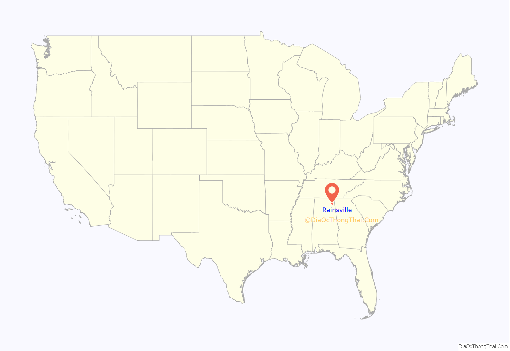
Rainsville location map. Where is Rainsville city?
History
Rainsville was incorporated in October 1956.
An EF5 tornado struck the city on April 27, 2011, leaving 25 fatalities. It initially touched down 10 miles (16 km) to the southwest in Lakeview, causing structural damage to small buildings and snapping trees. It grew in intensity, and the path width increased from around fifty yards to a half a mile, as the rotation entered the Rainsville and Sylvania communities. Damage included houses that were completely removed from foundations and debris scattered for about one mile, trees debarked, and a few mobile homes were destroyed with debris strewn for about a mile downstream. In Sylvania, some of these houses removed from foundations contained anchor bolts and foundation straps.
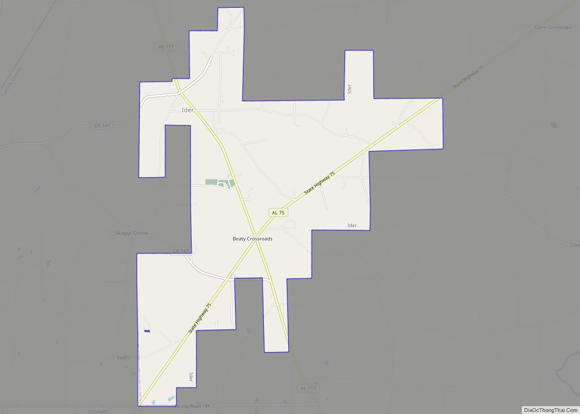
Rainsville Road Map
Rainsville city Satellite Map
Geography
Rainsville is located northwest of the center of DeKalb County at 34°29′32″N 85°50′43″W / 34.49222°N 85.84528°W / 34.49222; -85.84528 (34.492258, -85.845316). It is bordered to the northeast by Sylvania, to the northwest by Powell, to the southwest by Shiloh, and to the southeast by Pine Ridge.
Alabama State Routes 35 and 75 intersect in the center of town. AL 35 leads northwest 19 miles (31 km) to Scottsboro and southeast 9 miles (14 km) to Fort Payne, the DeKalb County seat. AL 75 leads northeast 10 miles (16 km) to Henagar and southwest 26 miles (42 km) to Albertville.
According to the U.S. Census Bureau, Rainsville has a total area of 20.6 square miles (53.3 km), of which 0.02 square miles (0.04 km), or 0.07%, is water.
See also
Map of Alabama State and its subdivision:- Autauga
- Baldwin
- Barbour
- Bibb
- Blount
- Bullock
- Butler
- Calhoun
- Chambers
- Cherokee
- Chilton
- Choctaw
- Clarke
- Clay
- Cleburne
- Coffee
- Colbert
- Conecuh
- Coosa
- Covington
- Crenshaw
- Cullman
- Dale
- Dallas
- De Kalb
- Elmore
- Escambia
- Etowah
- Fayette
- Franklin
- Geneva
- Greene
- Hale
- Henry
- Houston
- Jackson
- Jefferson
- Lamar
- Lauderdale
- Lawrence
- Lee
- Limestone
- Lowndes
- Macon
- Madison
- Marengo
- Marion
- Marshall
- Mobile
- Monroe
- Montgomery
- Morgan
- Perry
- Pickens
- Pike
- Randolph
- Russell
- Saint Clair
- Shelby
- Sumter
- Talladega
- Tallapoosa
- Tuscaloosa
- Walker
- Washington
- Wilcox
- Winston
- Alabama
- Alaska
- Arizona
- Arkansas
- California
- Colorado
- Connecticut
- Delaware
- District of Columbia
- Florida
- Georgia
- Hawaii
- Idaho
- Illinois
- Indiana
- Iowa
- Kansas
- Kentucky
- Louisiana
- Maine
- Maryland
- Massachusetts
- Michigan
- Minnesota
- Mississippi
- Missouri
- Montana
- Nebraska
- Nevada
- New Hampshire
- New Jersey
- New Mexico
- New York
- North Carolina
- North Dakota
- Ohio
- Oklahoma
- Oregon
- Pennsylvania
- Rhode Island
- South Carolina
- South Dakota
- Tennessee
- Texas
- Utah
- Vermont
- Virginia
- Washington
- West Virginia
- Wisconsin
- Wyoming
