Ridgeville is a town in Etowah County, Alabama, United States. It incorporated in 1969 and is part of the Gadsden Metropolitan Statistical Area. At the 2020 census the population was 83, down from 158 in 2000. It is noteworthy for being the only community in Etowah County to have a black majority. Since 1970, it has also been the least populated community wholly within the county.
| Name: | Ridgeville town |
|---|---|
| LSAD Code: | 43 |
| LSAD Description: | town (suffix) |
| State: | Alabama |
| County: | Etowah County |
| Elevation: | 659 ft (201 m) |
| Total Area: | 0.82 sq mi (2.13 km²) |
| Land Area: | 0.82 sq mi (2.13 km²) |
| Water Area: | 0.00 sq mi (0.00 km²) |
| Total Population: | 83 |
| Population Density: | 101.10/sq mi (39.05/km²) |
| ZIP code: | 35954 |
| Area code: | 256 |
| FIPS code: | 0164656 |
| GNISfeature ID: | 2407216 |
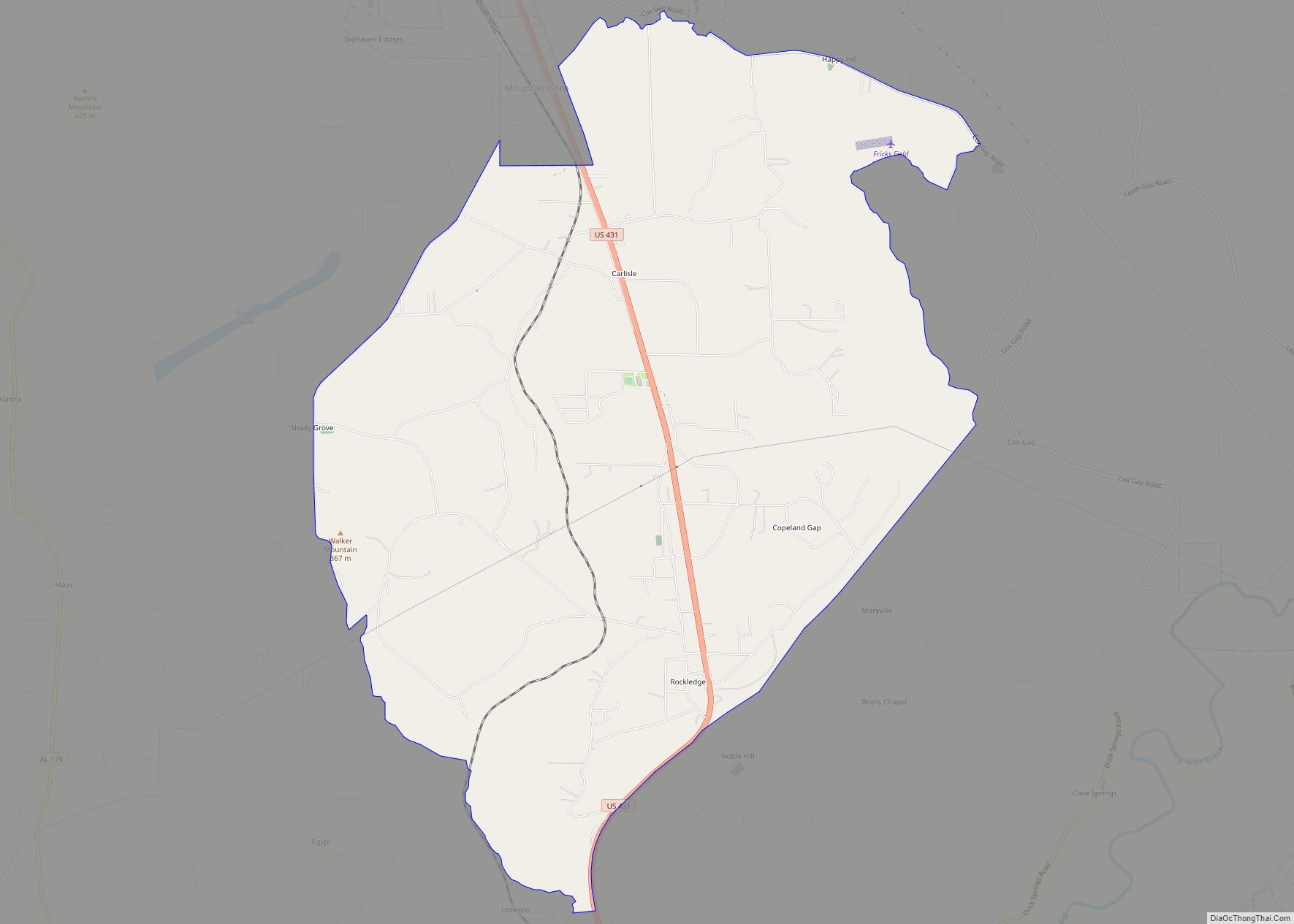
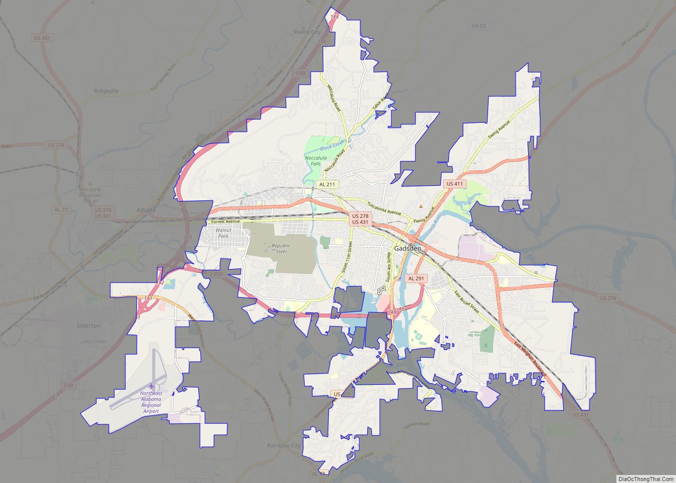
Online Interactive Map
Click on ![]() to view map in "full screen" mode.
to view map in "full screen" mode.
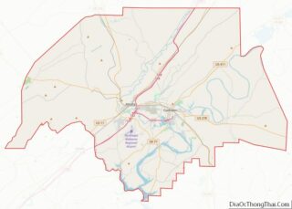
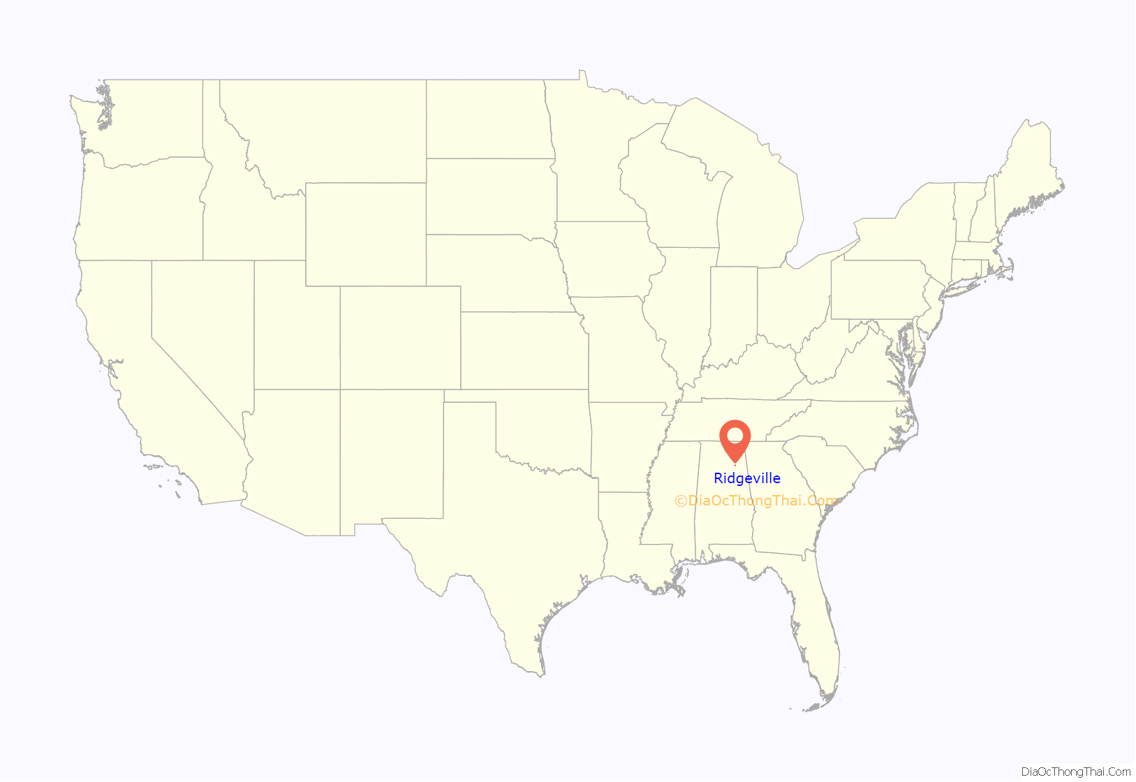
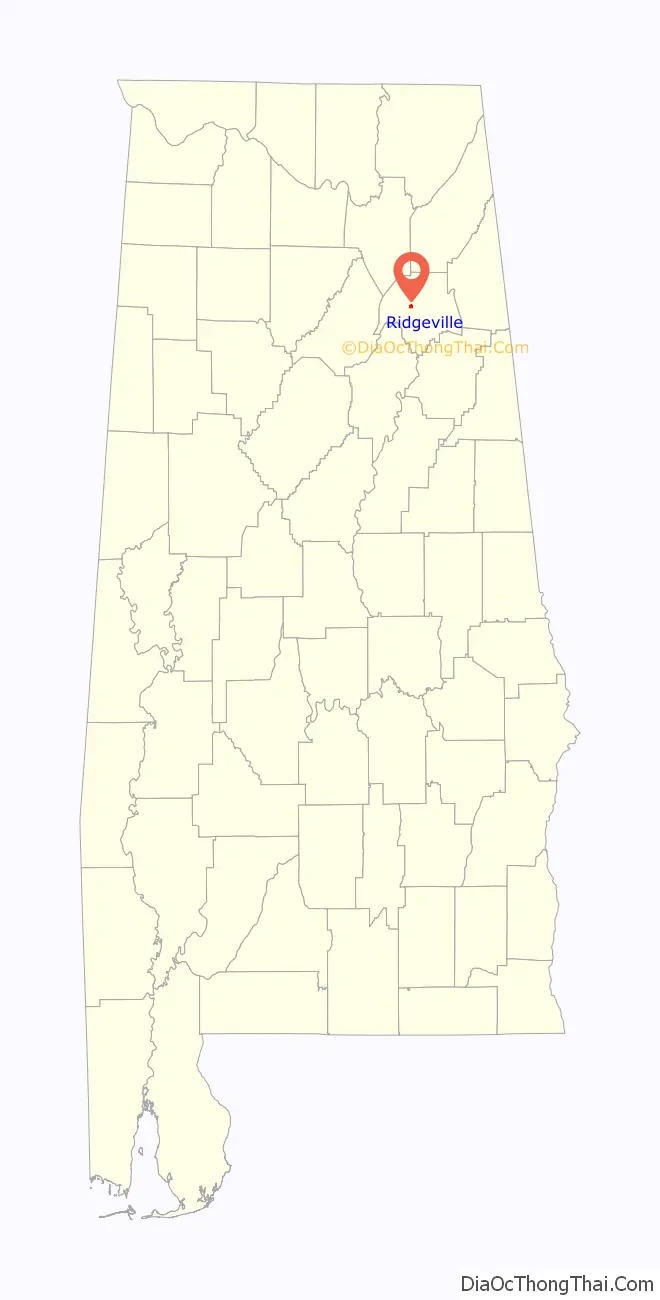
Ridgeville location map. Where is Ridgeville town?
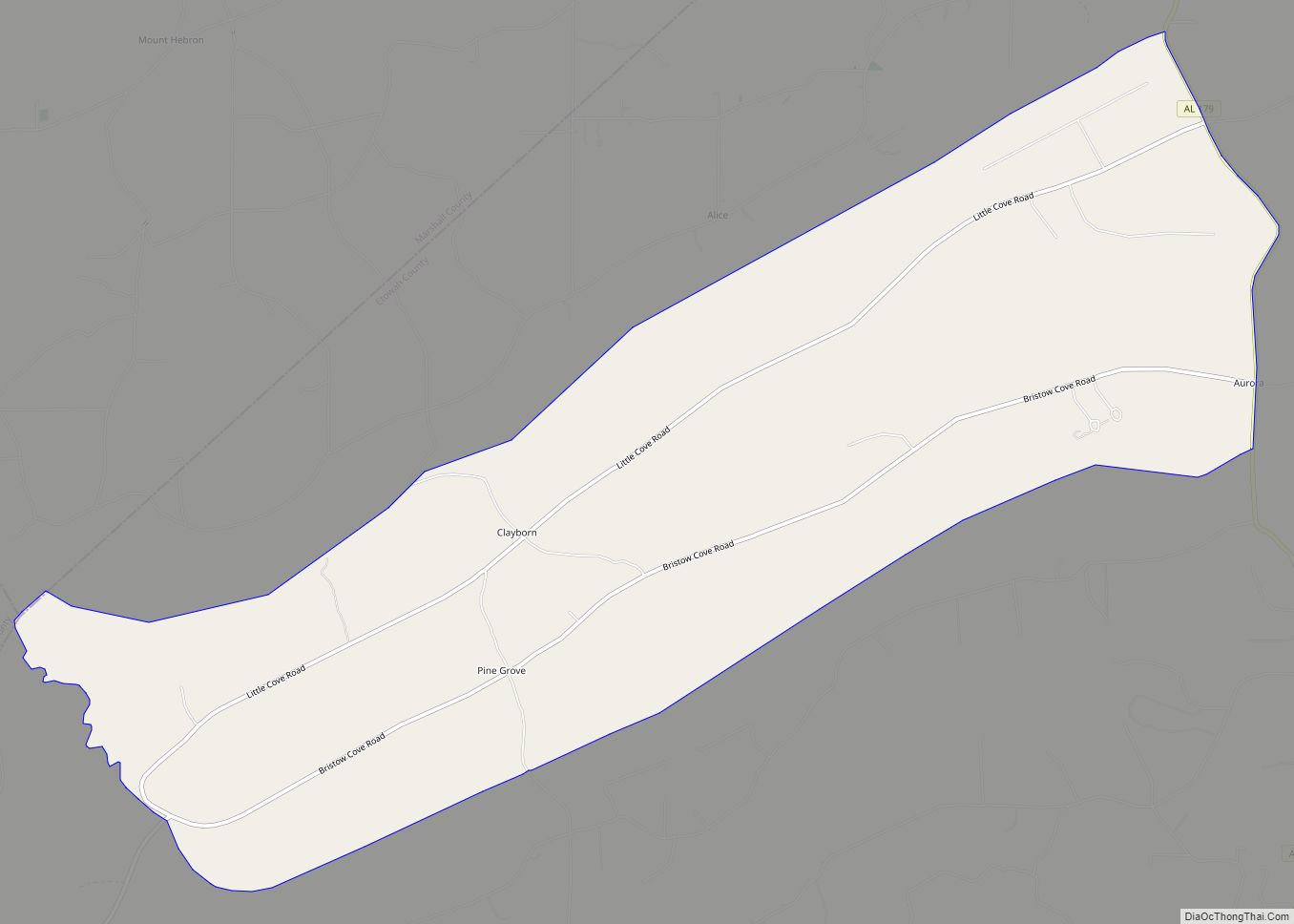
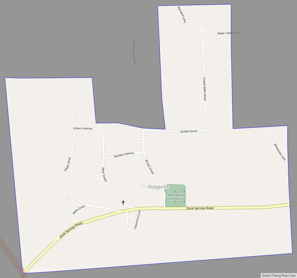
Ridgeville Road Map
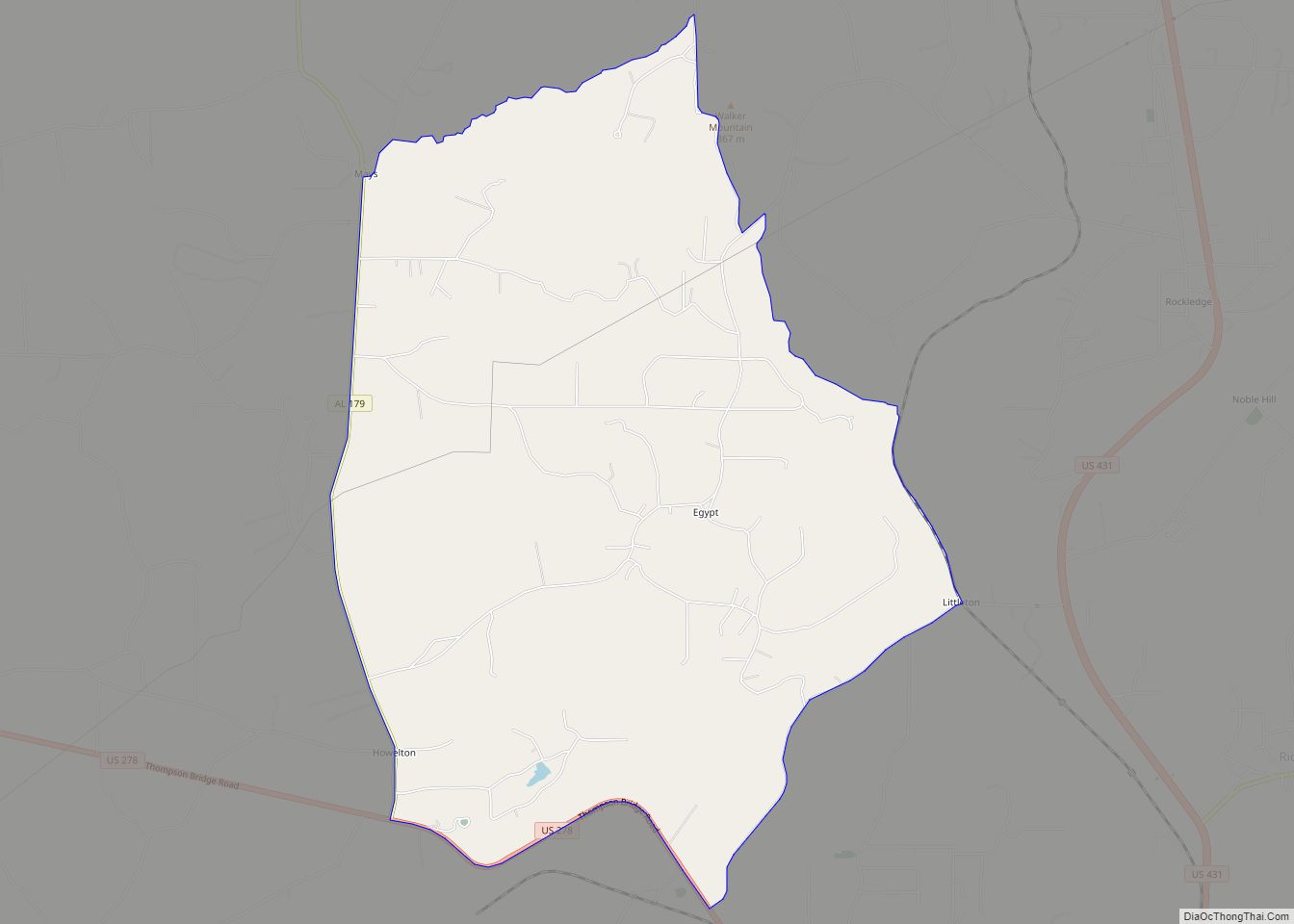
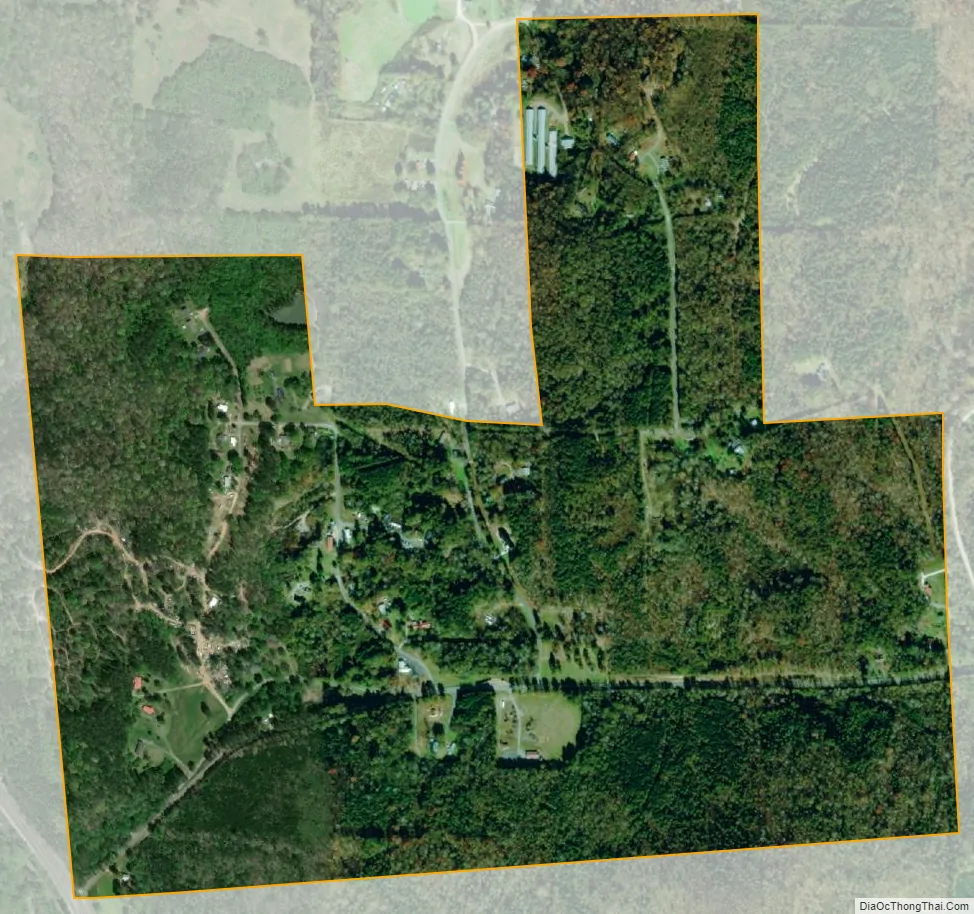
Ridgeville city Satellite Map
Geography
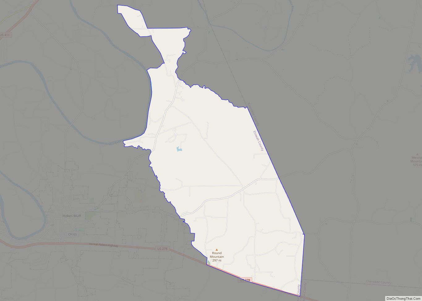
Ridgeville is located in central Etowah County at 34°3′26″N 86°6′12″W / 34.05722°N 86.10333°W / 34.05722; -86.10333 (34.057110, -86.103232). It is 9 miles (14 km) by road northwest of Gadsden, the county seat.
According to the U.S. Census Bureau, the town has a total area of 0.81 square miles (2.1 km), all land.
See also
Map of Alabama State and its subdivision:- Autauga
- Baldwin
- Barbour
- Bibb
- Blount
- Bullock
- Butler
- Calhoun
- Chambers
- Cherokee
- Chilton
- Choctaw
- Clarke
- Clay
- Cleburne
- Coffee
- Colbert
- Conecuh
- Coosa
- Covington
- Crenshaw
- Cullman
- Dale
- Dallas
- De Kalb
- Elmore
- Escambia
- Etowah
- Fayette
- Franklin
- Geneva
- Greene
- Hale
- Henry
- Houston
- Jackson
- Jefferson
- Lamar
- Lauderdale
- Lawrence
- Lee
- Limestone
- Lowndes
- Macon
- Madison
- Marengo
- Marion
- Marshall
- Mobile
- Monroe
- Montgomery
- Morgan
- Perry
- Pickens
- Pike
- Randolph
- Russell
- Saint Clair
- Shelby
- Sumter
- Talladega
- Tallapoosa
- Tuscaloosa
- Walker
- Washington
- Wilcox
- Winston
- Alabama
- Alaska
- Arizona
- Arkansas
- California
- Colorado
- Connecticut
- Delaware
- District of Columbia
- Florida
- Georgia
- Hawaii
- Idaho
- Illinois
- Indiana
- Iowa
- Kansas
- Kentucky
- Louisiana
- Maine
- Maryland
- Massachusetts
- Michigan
- Minnesota
- Mississippi
- Missouri
- Montana
- Nebraska
- Nevada
- New Hampshire
- New Jersey
- New Mexico
- New York
- North Carolina
- North Dakota
- Ohio
- Oklahoma
- Oregon
- Pennsylvania
- Rhode Island
- South Carolina
- South Dakota
- Tennessee
- Texas
- Utah
- Vermont
- Virginia
- Washington
- West Virginia
- Wisconsin
- Wyoming