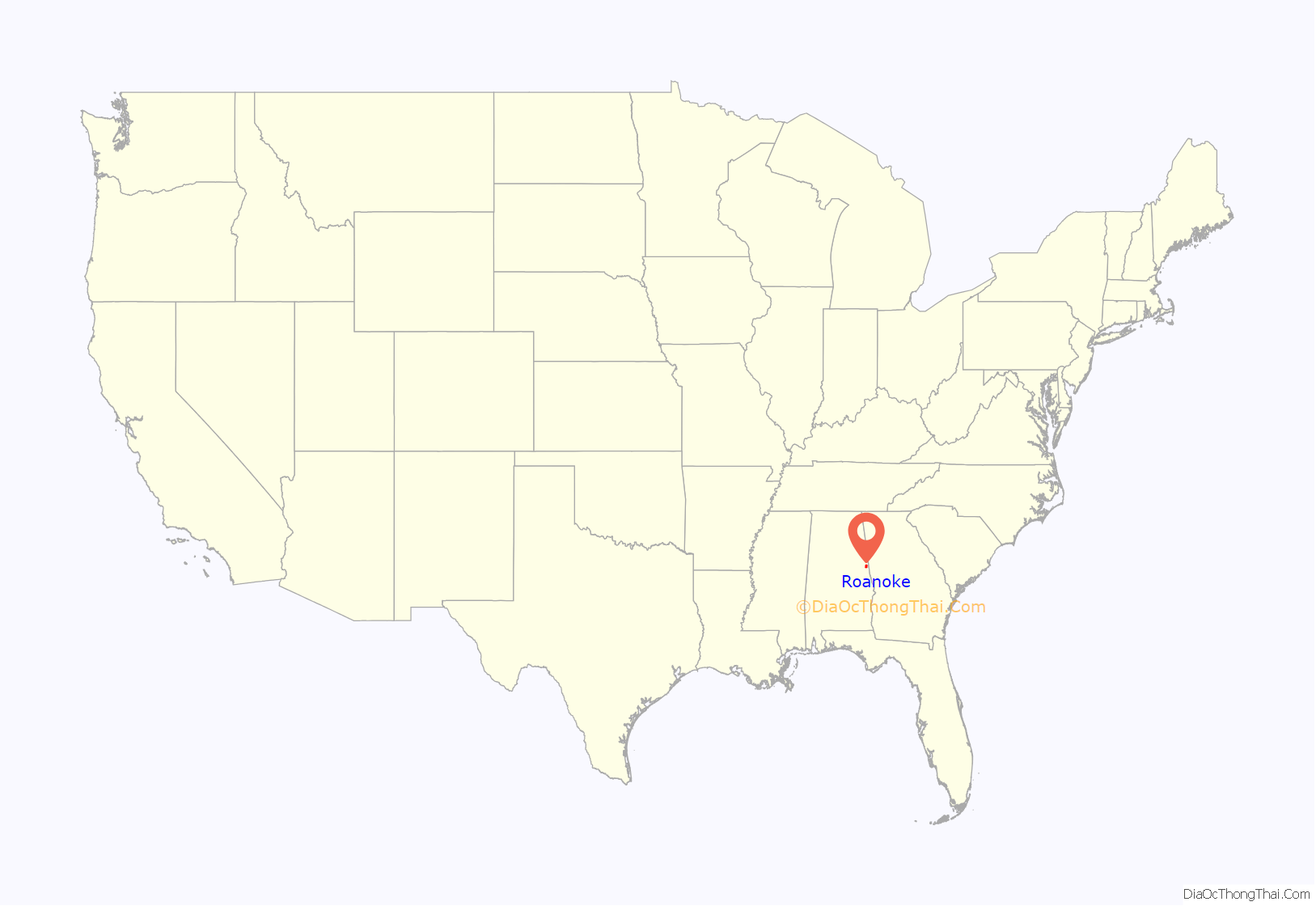
Roanoke is a city in Randolph County, which is in the Piedmont region of eastern Alabama, United States. As of the 2020 census, the population of the city was 5,311, down from 6,074 in 2010 and 6,563 in 2000.
| Name: | Roanoke city |
|---|---|
| LSAD Code: | 25 |
| LSAD Description: | city (suffix) |
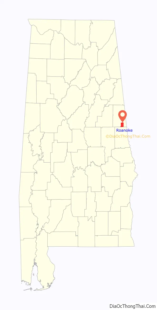
| State: | Alabama |
| County: | Randolph County |
| Elevation: | 840 ft (256 m) |
| Total Area: | 19.12 sq mi (49.51 km²) |
| Land Area: | 18.74 sq mi (48.53 km²) |
| Water Area: | 0.38 sq mi (0.99 km²) |
| Total Population: | 5,311 |
| Population Density: | 283.46/sq mi (109.45/km²) |
| ZIP code: | 36274 |
| Area code: | 334 |
| FIPS code: | 0165040 |
| GNISfeature ID: | 0153164 |
| Website: | roanokealabama.org |
Online Interactive Map
Click on ![]() to view map in "full screen" mode.
to view map in "full screen" mode.
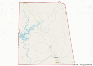
Roanoke location map. Where is Roanoke city?
History
Roanoke was occupied by the Creek before treaties to persuade the Native Americans to cede their land, followed by forced migration under the Indian Removal Act of 1830. The area was part of a broad part of upland developed as cotton plantations worked by enslaved African Americans. The area is still quite rural.
Initially called High Pine in the 1830s after a nearby creek, it was allegedly burned during an Indian uprising in 1836. Renamed Chulafinee in 1840, it was later renamed again for the hometown of one of the early settlers, Roanoke, Virginia. The city was officially incorporated in December 1890.
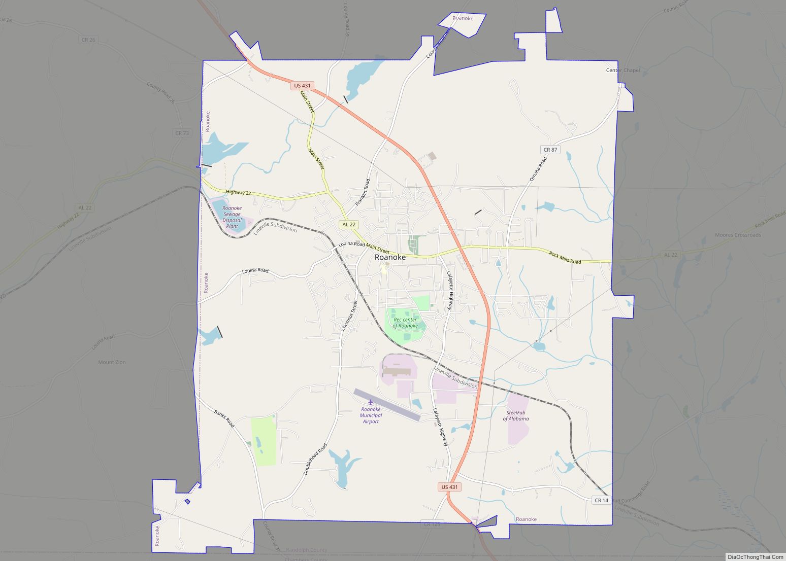
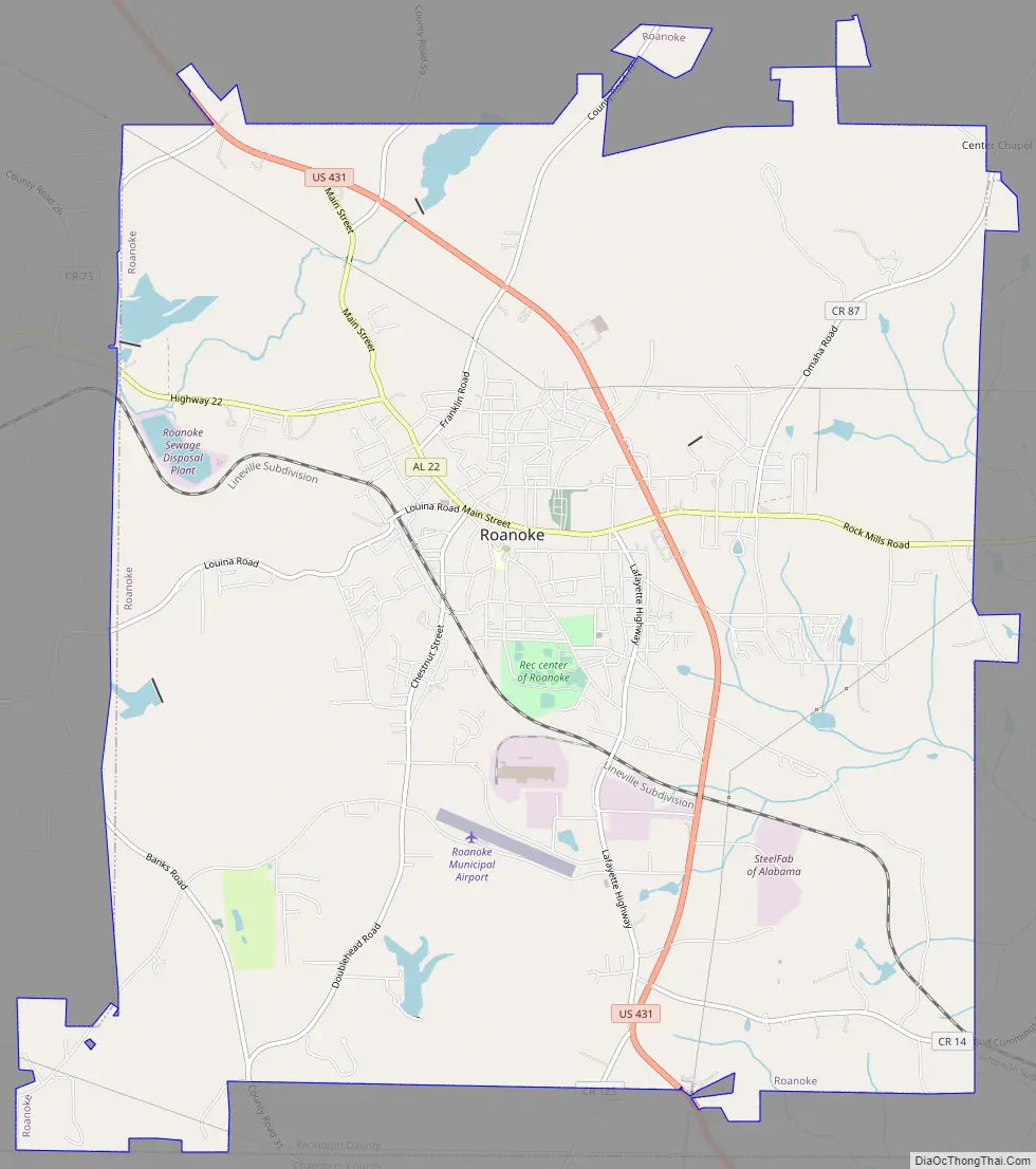
Roanoke Road Map
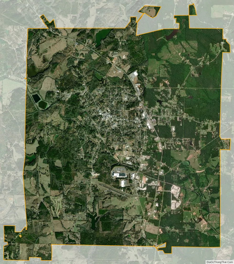
Roanoke city Satellite Map
Geography
Roanoke is located at 33°8′56″N 85°22′11″W / 33.14889°N 85.36972°W / 33.14889; -85.36972 (33.148830, -85.369784).
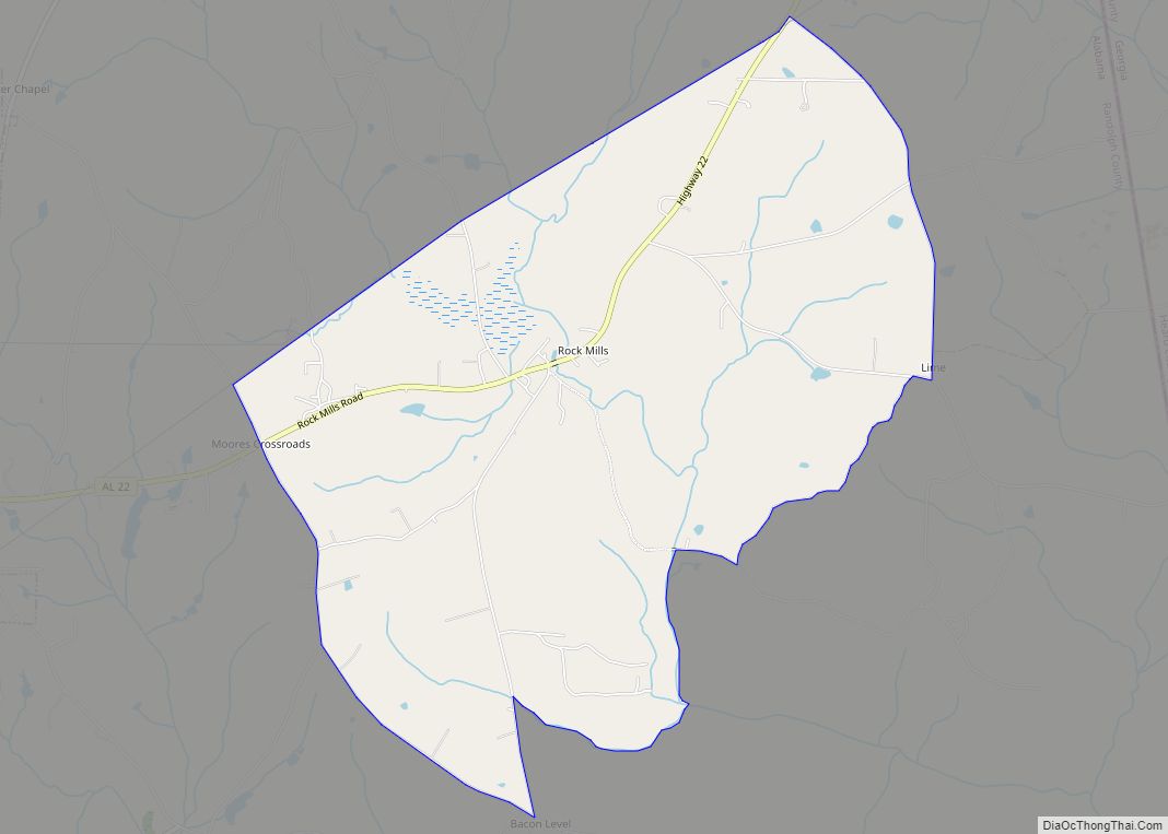
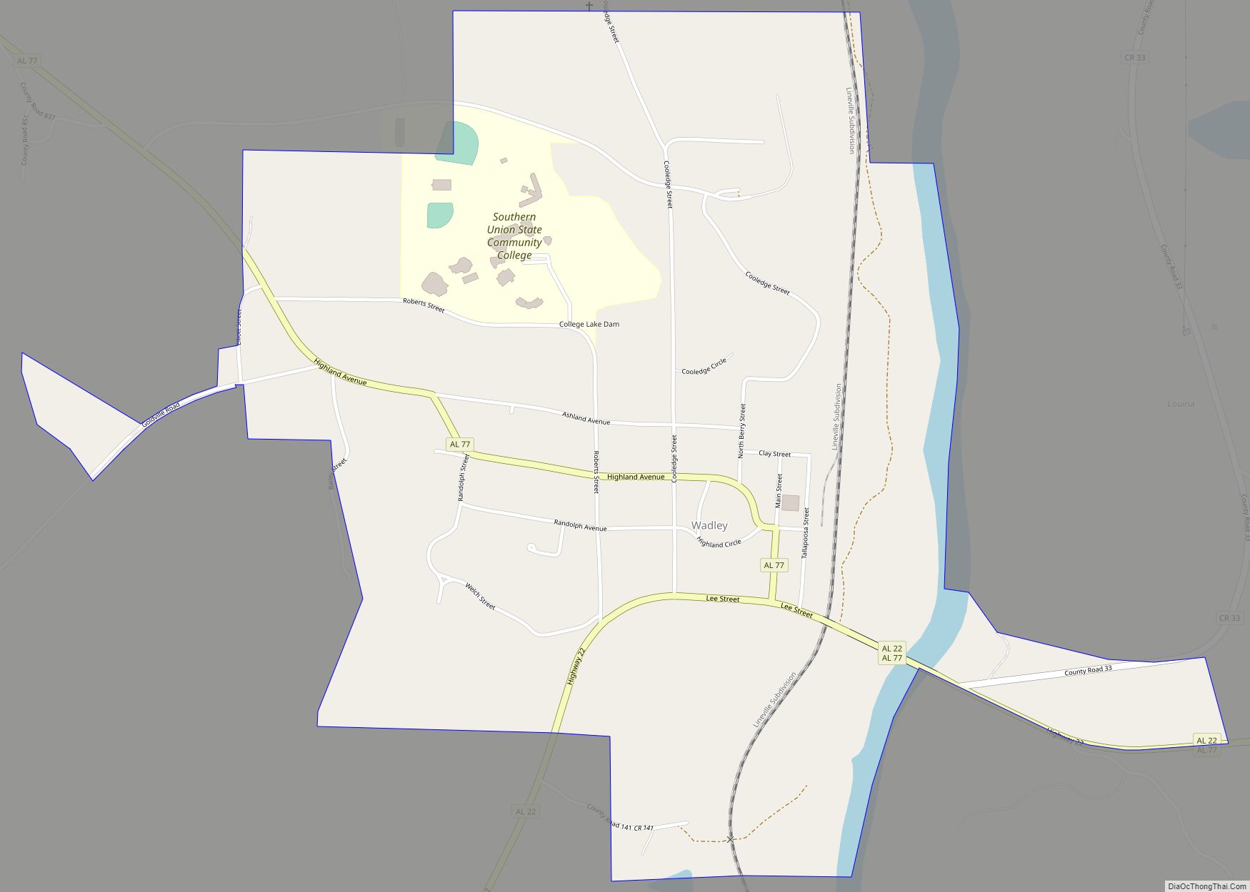
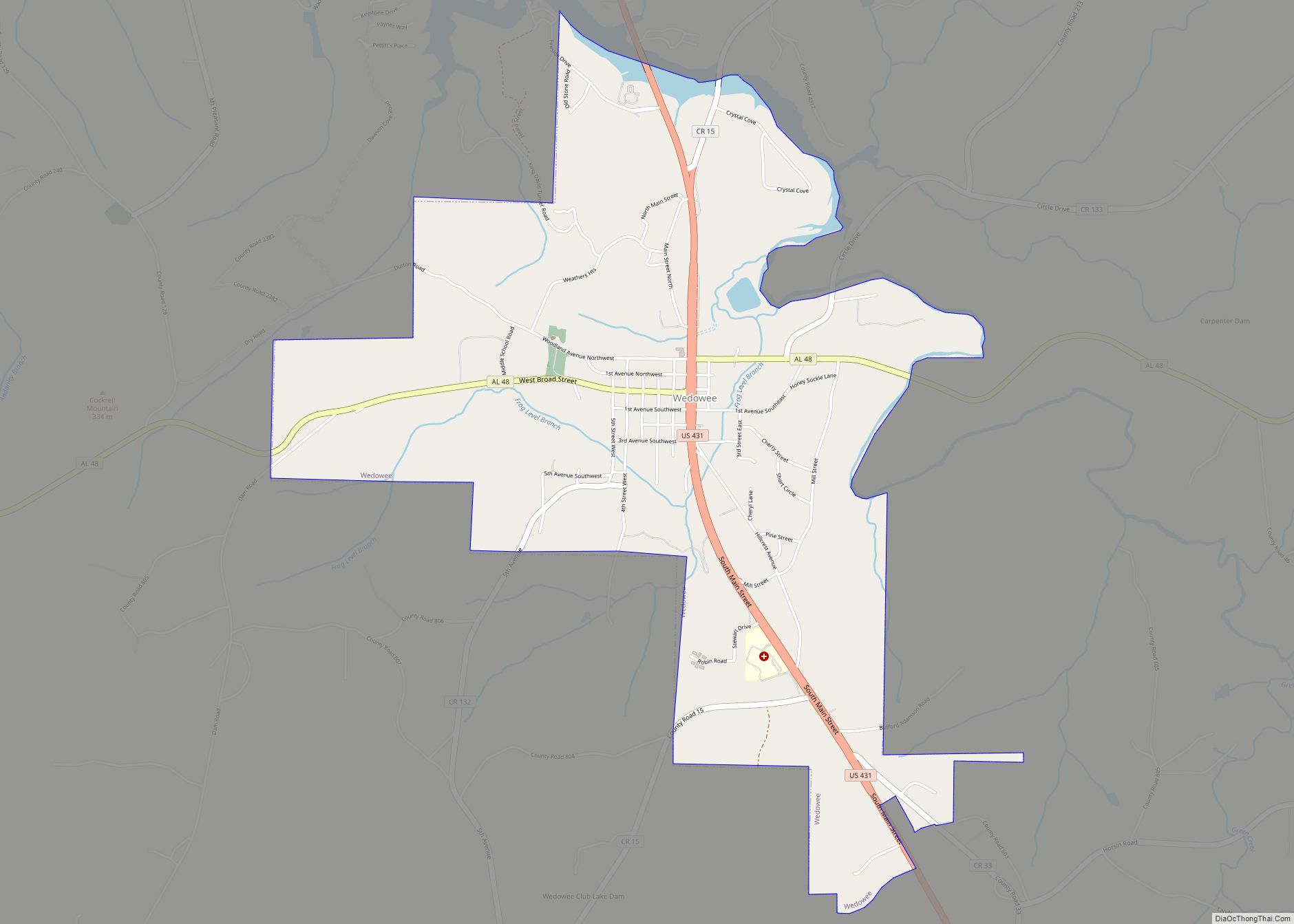
The city is located in the southern part of Randolph County along U.S. Route 431, which is the main route through the city. U.S. 431 leads northwest 13 mi (21 km) to Wedowee, the Randolph County seat, and south 21 mi (34 km) to LaFayette. Alabama State Route 22 also runs through the city, leading west 13 mi (21 km) to Wadley and northeast 9 mi (14 km) to the Georgia state line.
According to the U.S. Census Bureau, the city has a total area of 19.1 square miles (49 km), of which 18.8 square miles (49 km) is land and 0.3 square miles (0.78 km) (1.47%) is water.
See also
Map of Alabama State and its subdivision:- Autauga
- Baldwin
- Barbour
- Bibb
- Blount
- Bullock
- Butler
- Calhoun
- Chambers
- Cherokee
- Chilton
- Choctaw
- Clarke
- Clay
- Cleburne
- Coffee
- Colbert
- Conecuh
- Coosa
- Covington
- Crenshaw
- Cullman
- Dale
- Dallas
- De Kalb
- Elmore
- Escambia
- Etowah
- Fayette
- Franklin
- Geneva
- Greene
- Hale
- Henry
- Houston
- Jackson
- Jefferson
- Lamar
- Lauderdale
- Lawrence
- Lee
- Limestone
- Lowndes
- Macon
- Madison
- Marengo
- Marion
- Marshall
- Mobile
- Monroe
- Montgomery
- Morgan
- Perry
- Pickens
- Pike
- Randolph
- Russell
- Saint Clair
- Shelby
- Sumter
- Talladega
- Tallapoosa
- Tuscaloosa
- Walker
- Washington
- Wilcox
- Winston
- Alabama
- Alaska
- Arizona
- Arkansas
- California
- Colorado
- Connecticut
- Delaware
- District of Columbia
- Florida
- Georgia
- Hawaii
- Idaho
- Illinois
- Indiana
- Iowa
- Kansas
- Kentucky
- Louisiana
- Maine
- Maryland
- Massachusetts
- Michigan
- Minnesota
- Mississippi
- Missouri
- Montana
- Nebraska
- Nevada
- New Hampshire
- New Jersey
- New Mexico
- New York
- North Carolina
- North Dakota
- Ohio
- Oklahoma
- Oregon
- Pennsylvania
- Rhode Island
- South Carolina
- South Dakota
- Tennessee
- Texas
- Utah
- Vermont
- Virginia
- Washington
- West Virginia
- Wisconsin
- Wyoming