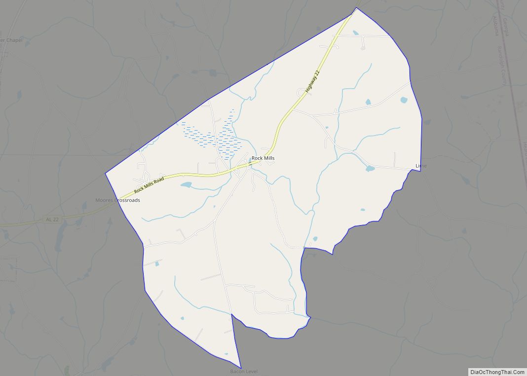
Rock Mills is a census-designated place (CDP) in Randolph County, Alabama, United States. At the 2010 census the population was 600, down from 676 in 2000. According to the U.S. Census, from 1890 until the 1920s, Rock Mills was an incorporated community. It was later designated a CDP beginning in 2000.
| Name: | Rock Mills CDP |
|---|---|
| LSAD Code: | 57 |
| LSAD Description: | CDP (suffix) |
| State: | Alabama |
| County: | Randolph County |
| Elevation: | 781 ft (238 m) |
| Total Area: | 6.33 sq mi (16.39 km²) |
| Land Area: | 6.33 sq mi (16.38 km²) |
| Water Area: | 0.00 sq mi (0.01 km²) |
| Total Population: | 603 |
| Population Density: | 95.34/sq mi (36.81/km²) |
| ZIP code: | 36274 |
| Area code: | 334 |
| FIPS code: | 0165592 |
| GNISfeature ID: | 0153181 |
Online Interactive Map
Click on ![]() to view map in "full screen" mode.
to view map in "full screen" mode.
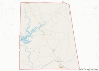
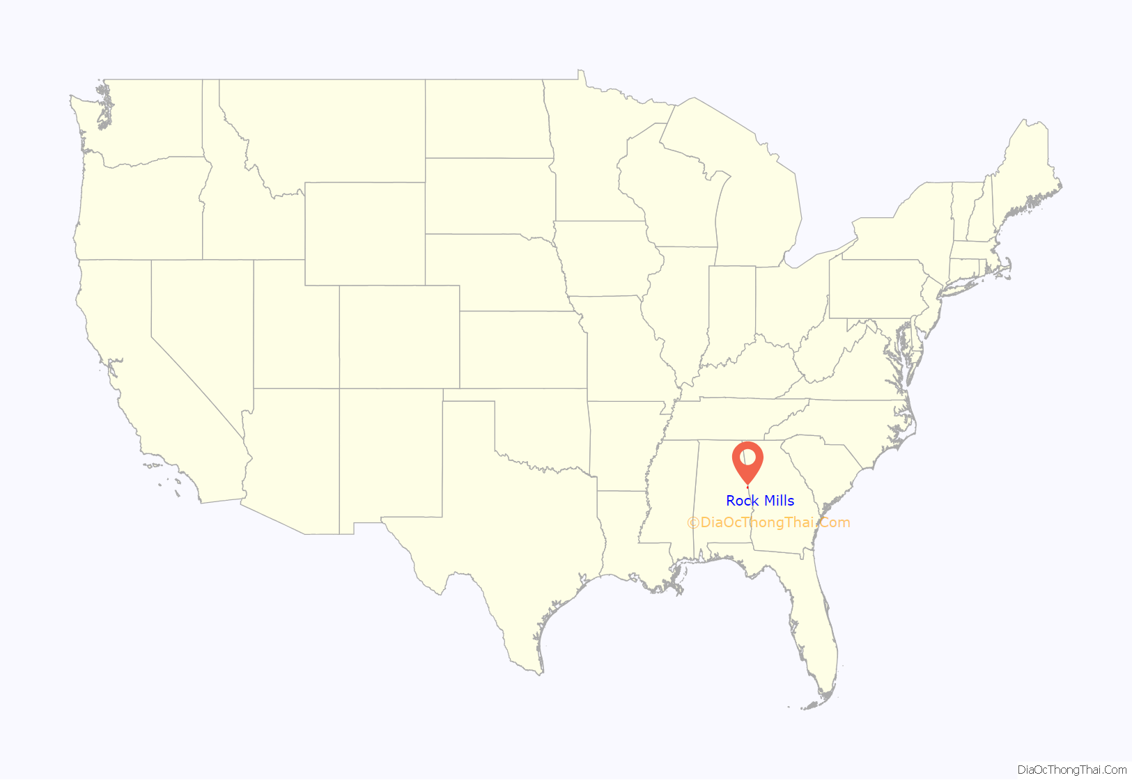
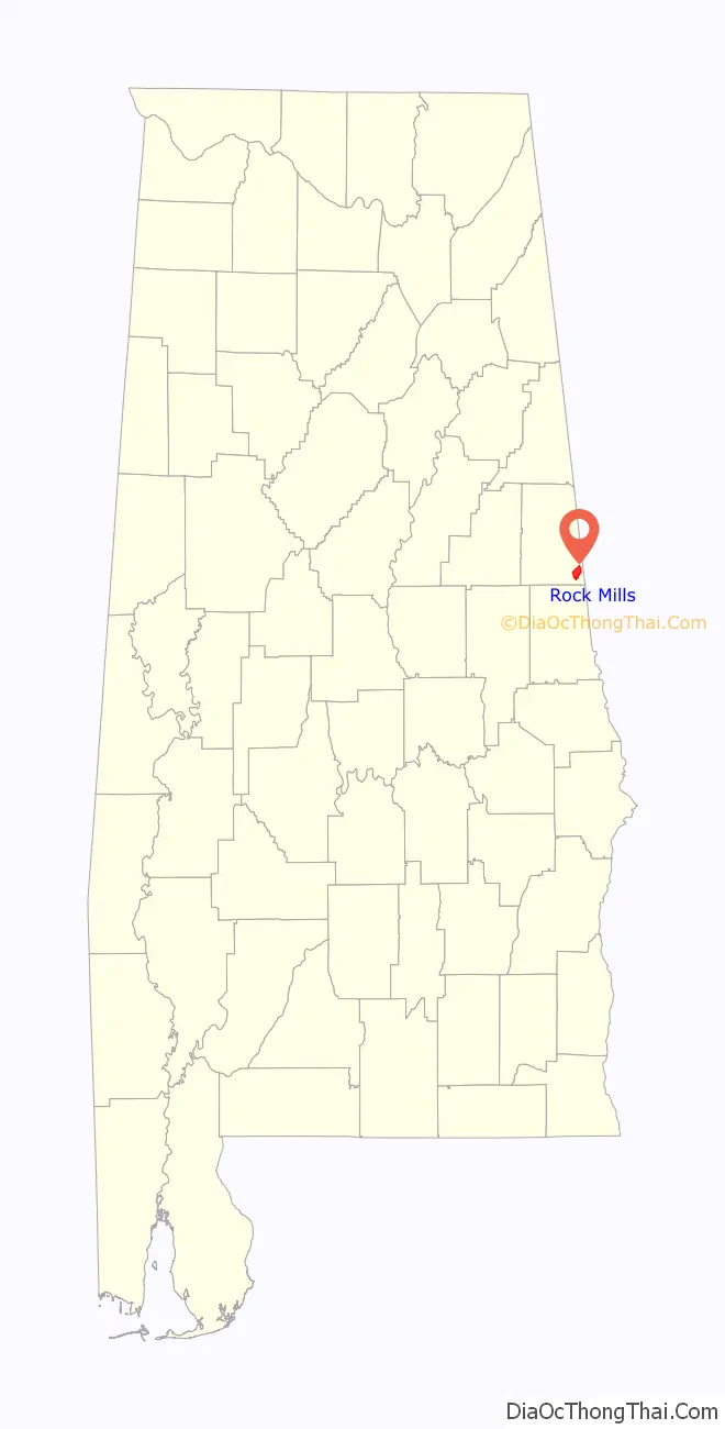
Rock Mills location map. Where is Rock Mills CDP?
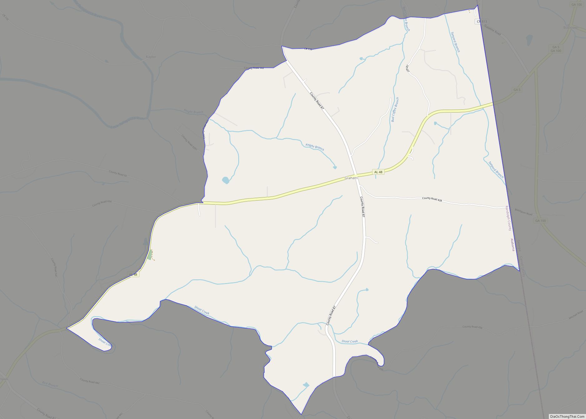
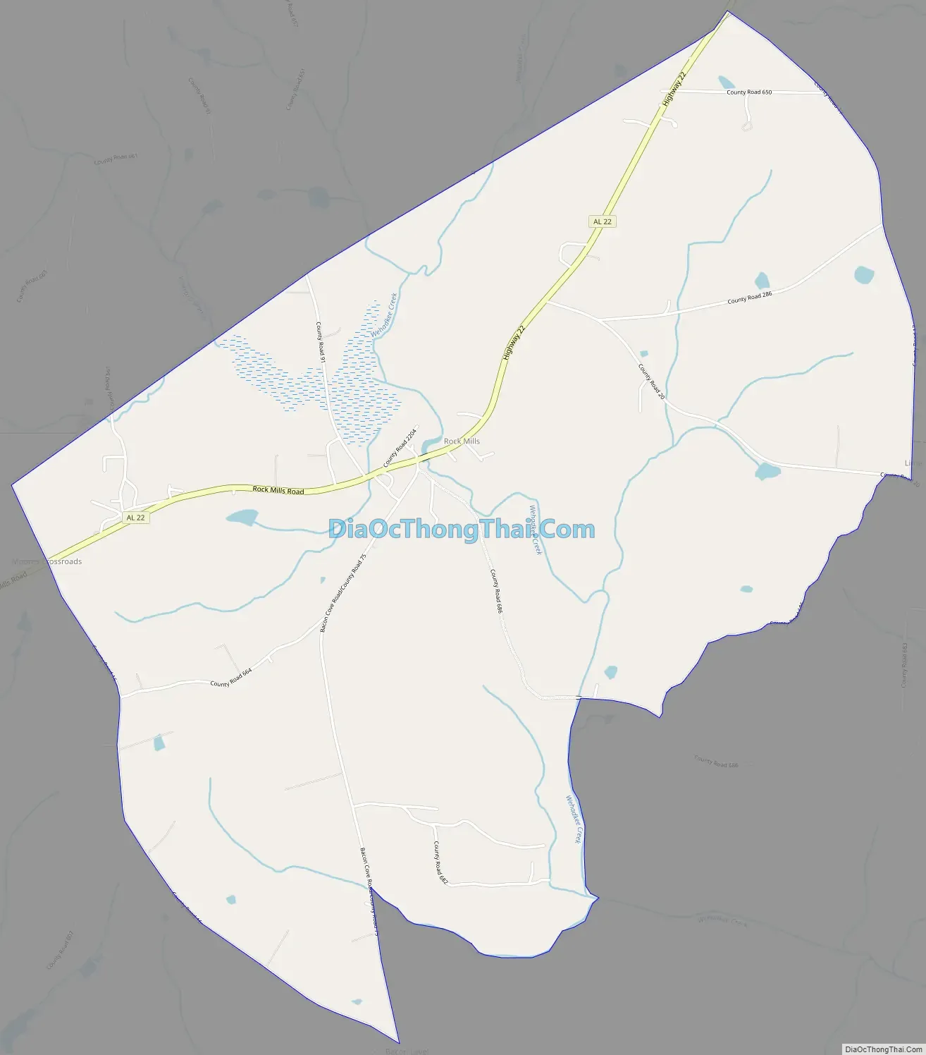
Rock Mills Road Map
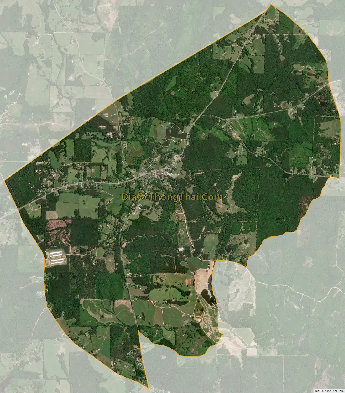
Rock Mills city Satellite Map
Geography
Rock Mills is located at 33°9′37″N 85°17′26″W / 33.16028°N 85.29056°W / 33.16028; -85.29056 (33.160348, -85.290469).
According to the U.S. Census Bureau, the CDP has a total area of 6.3 square miles (16 km), all land.
Climate
See also
Map of Alabama State and its subdivision:- Autauga
- Baldwin
- Barbour
- Bibb
- Blount
- Bullock
- Butler
- Calhoun
- Chambers
- Cherokee
- Chilton
- Choctaw
- Clarke
- Clay
- Cleburne
- Coffee
- Colbert
- Conecuh
- Coosa
- Covington
- Crenshaw
- Cullman
- Dale
- Dallas
- De Kalb
- Elmore
- Escambia
- Etowah
- Fayette
- Franklin
- Geneva
- Greene
- Hale
- Henry
- Houston
- Jackson
- Jefferson
- Lamar
- Lauderdale
- Lawrence
- Lee
- Limestone
- Lowndes
- Macon
- Madison
- Marengo
- Marion
- Marshall
- Mobile
- Monroe
- Montgomery
- Morgan
- Perry
- Pickens
- Pike
- Randolph
- Russell
- Saint Clair
- Shelby
- Sumter
- Talladega
- Tallapoosa
- Tuscaloosa
- Walker
- Washington
- Wilcox
- Winston
- Alabama
- Alaska
- Arizona
- Arkansas
- California
- Colorado
- Connecticut
- Delaware
- District of Columbia
- Florida
- Georgia
- Hawaii
- Idaho
- Illinois
- Indiana
- Iowa
- Kansas
- Kentucky
- Louisiana
- Maine
- Maryland
- Massachusetts
- Michigan
- Minnesota
- Mississippi
- Missouri
- Montana
- Nebraska
- Nevada
- New Hampshire
- New Jersey
- New Mexico
- New York
- North Carolina
- North Dakota
- Ohio
- Oklahoma
- Oregon
- Pennsylvania
- Rhode Island
- South Carolina
- South Dakota
- Tennessee
- Texas
- Utah
- Vermont
- Virginia
- Washington
- West Virginia
- Wisconsin
- Wyoming