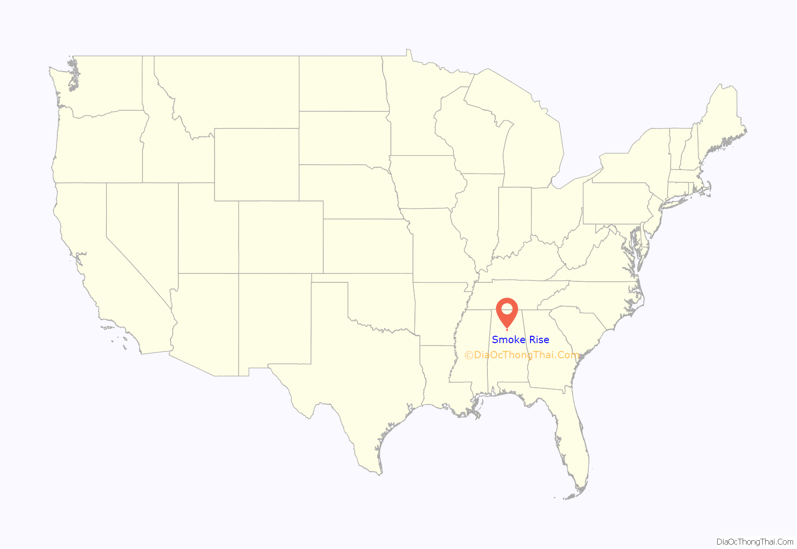
Smoke Rise is a census-designated place (CDP) in Blount County, Alabama, United States. At the 2020 census, the population was 1,661.
| Name: | Smoke Rise CDP |
|---|---|
| LSAD Code: | 57 |
| LSAD Description: | CDP (suffix) |
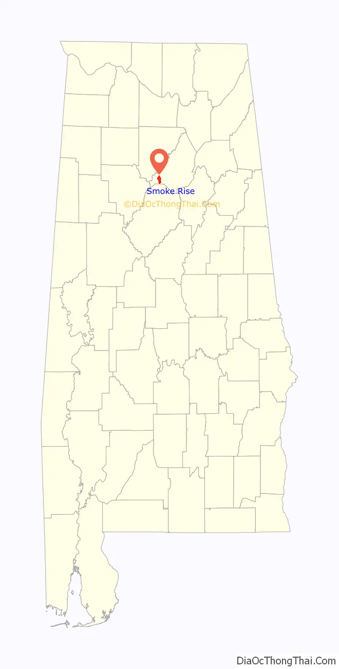
| State: | Alabama |
| County: | Blount County |
| Elevation: | 1,030 ft (314 m) |
| Total Area: | 5.82 sq mi (15.06 km²) |
| Land Area: | 5.80 sq mi (15.03 km²) |
| Water Area: | 0.01 sq mi (0.03 km²) |
| Total Population: | 1,661 |
| Population Density: | 286.18/sq mi (110.50/km²) |
| FIPS code: | 0171201 |
| GNISfeature ID: | 0135171 |
Online Interactive Map
Click on ![]() to view map in "full screen" mode.
to view map in "full screen" mode.
Smoke Rise location map. Where is Smoke Rise CDP?
History
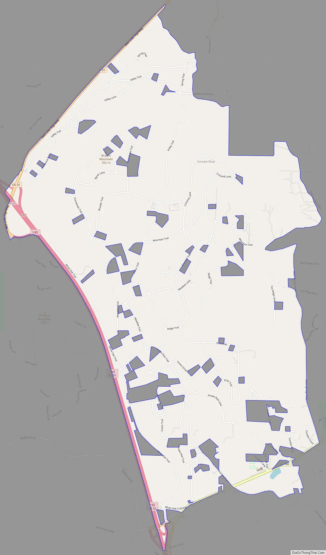
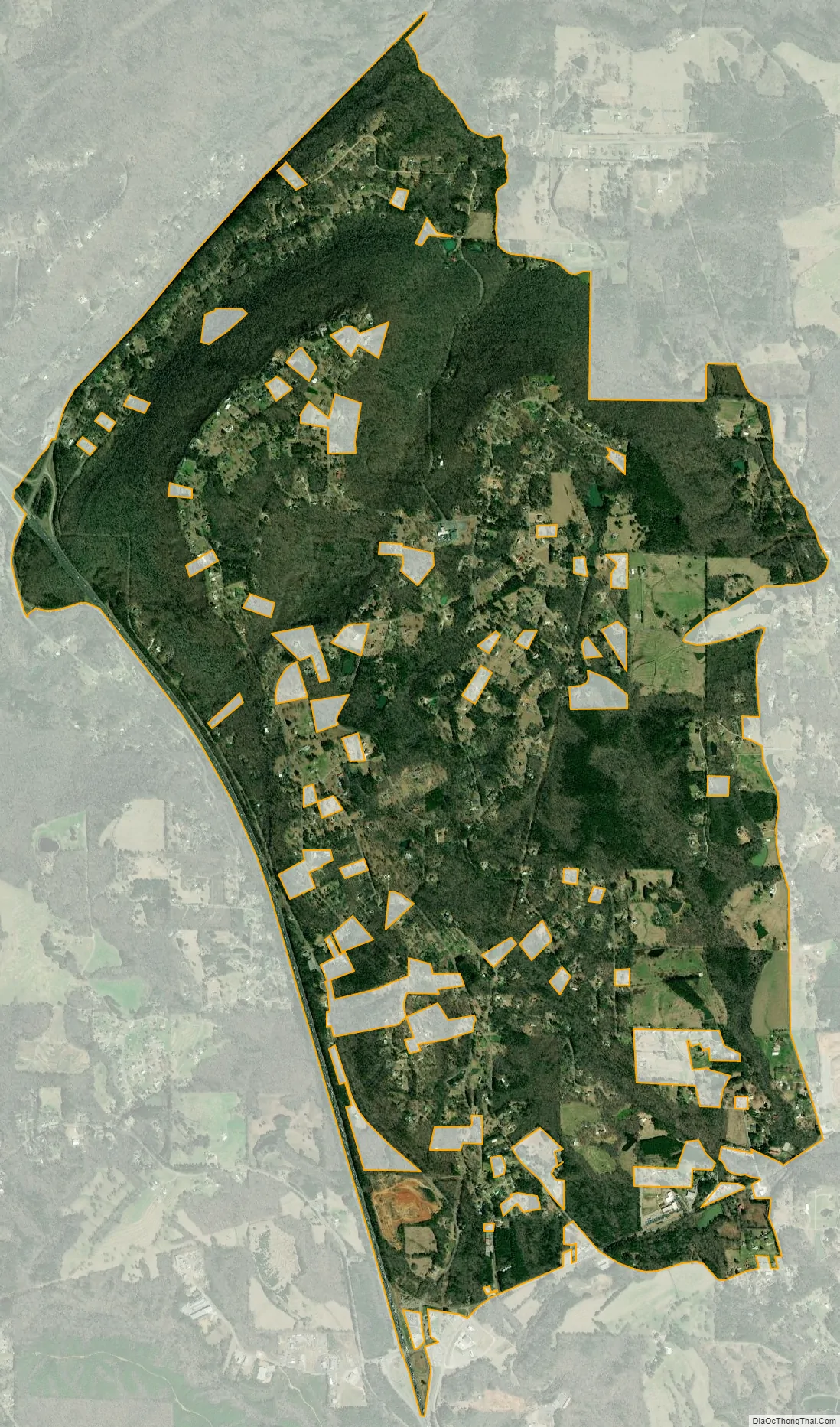
Smoke Rise lies east of Interstate 65 in western Blount County, with most homes sitting atop Bryant Mountain or in the valley below. The community began in the late 1960s as a large planned residential subdivision. Smoke Rise originally was slated to include its own community school, but those plans never came to fruition; today, children there attend public schools in nearby Hayden.
Residents founded the Smoke Rise Homeowners Association in the mid-1990s, but the community remains unincorporated despite occasional discussion of an incorporation vote. Few businesses are in Smoke Rise’s immediate vicinity, but many observers expect the impending construction of a new sewer system in western Blount County to fuel commercial growth.
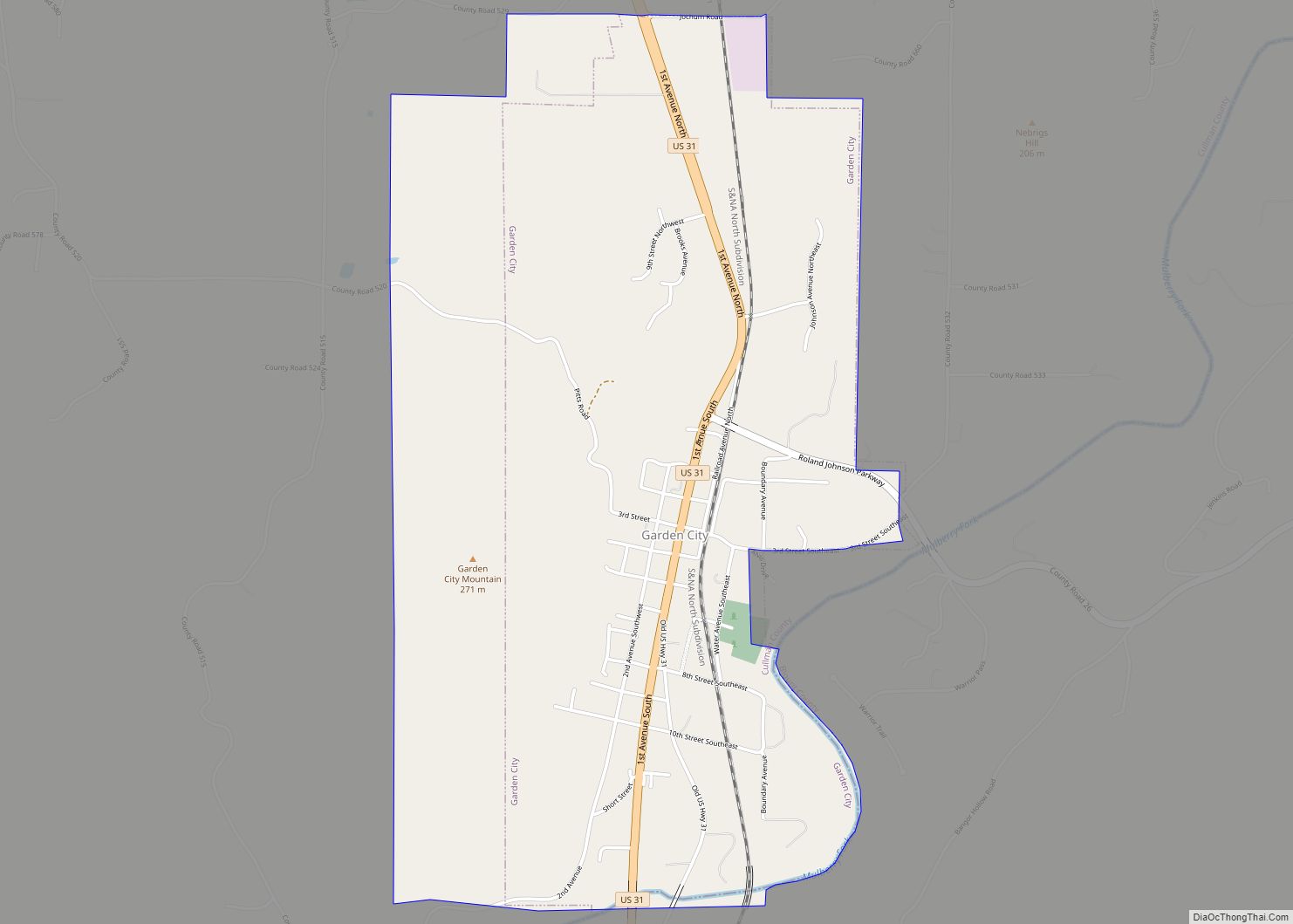
Smoke Rise Road Map
Smoke Rise city Satellite Map
Geography
Smoke Rise is located at 33°52’26.666″ North, 86°49’33.643″ West (33.874074, -86.826012).
According to the U.S. Census Bureau, the CDP has a total area of 6.4 square miles (17 km), of which 6.4 square miles (17 km) is land and 0.16% is water.
See also
Map of Alabama State and its subdivision:- Autauga
- Baldwin
- Barbour
- Bibb
- Blount
- Bullock
- Butler
- Calhoun
- Chambers
- Cherokee
- Chilton
- Choctaw
- Clarke
- Clay
- Cleburne
- Coffee
- Colbert
- Conecuh
- Coosa
- Covington
- Crenshaw
- Cullman
- Dale
- Dallas
- De Kalb
- Elmore
- Escambia
- Etowah
- Fayette
- Franklin
- Geneva
- Greene
- Hale
- Henry
- Houston
- Jackson
- Jefferson
- Lamar
- Lauderdale
- Lawrence
- Lee
- Limestone
- Lowndes
- Macon
- Madison
- Marengo
- Marion
- Marshall
- Mobile
- Monroe
- Montgomery
- Morgan
- Perry
- Pickens
- Pike
- Randolph
- Russell
- Saint Clair
- Shelby
- Sumter
- Talladega
- Tallapoosa
- Tuscaloosa
- Walker
- Washington
- Wilcox
- Winston
- Alabama
- Alaska
- Arizona
- Arkansas
- California
- Colorado
- Connecticut
- Delaware
- District of Columbia
- Florida
- Georgia
- Hawaii
- Idaho
- Illinois
- Indiana
- Iowa
- Kansas
- Kentucky
- Louisiana
- Maine
- Maryland
- Massachusetts
- Michigan
- Minnesota
- Mississippi
- Missouri
- Montana
- Nebraska
- Nevada
- New Hampshire
- New Jersey
- New Mexico
- New York
- North Carolina
- North Dakota
- Ohio
- Oklahoma
- Oregon
- Pennsylvania
- Rhode Island
- South Carolina
- South Dakota
- Tennessee
- Texas
- Utah
- Vermont
- Virginia
- Washington
- West Virginia
- Wisconsin
- Wyoming