Southside is a city located in Etowah County in the U.S. state of Alabama. It is included in the Gadsden Metropolitan Statistical Area. It incorporated in 1957. The population was 8,412 at the time of the 2010 United States Census. Located 8 to 12 miles (13 to 19 km) south of downtown Gadsden, Southside is one of the fastest-growing cities in northeast Alabama. The current Mayor, elected in 2020, is Dana Snyder.
| Name: | Southside city |
|---|---|
| LSAD Code: | 25 |
| LSAD Description: | city (suffix) |
| State: | Alabama |
| County: | Calhoun County, Etowah County |
| Elevation: | 548 ft (167 m) |
| Total Area: | 19.27 sq mi (49.92 km²) |
| Land Area: | 19.11 sq mi (49.49 km²) |
| Water Area: | 0.17 sq mi (0.43 km²) |
| Total Population: | 9,426 |
| Population Density: | 493.28/sq mi (190.45/km²) |
| ZIP code: | 35907 |
| Area code: | 256 |
| FIPS code: | 0171832 |
| GNISfeature ID: | 2405499 |
| Website: | www.cityofsouthside.com |
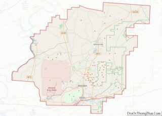
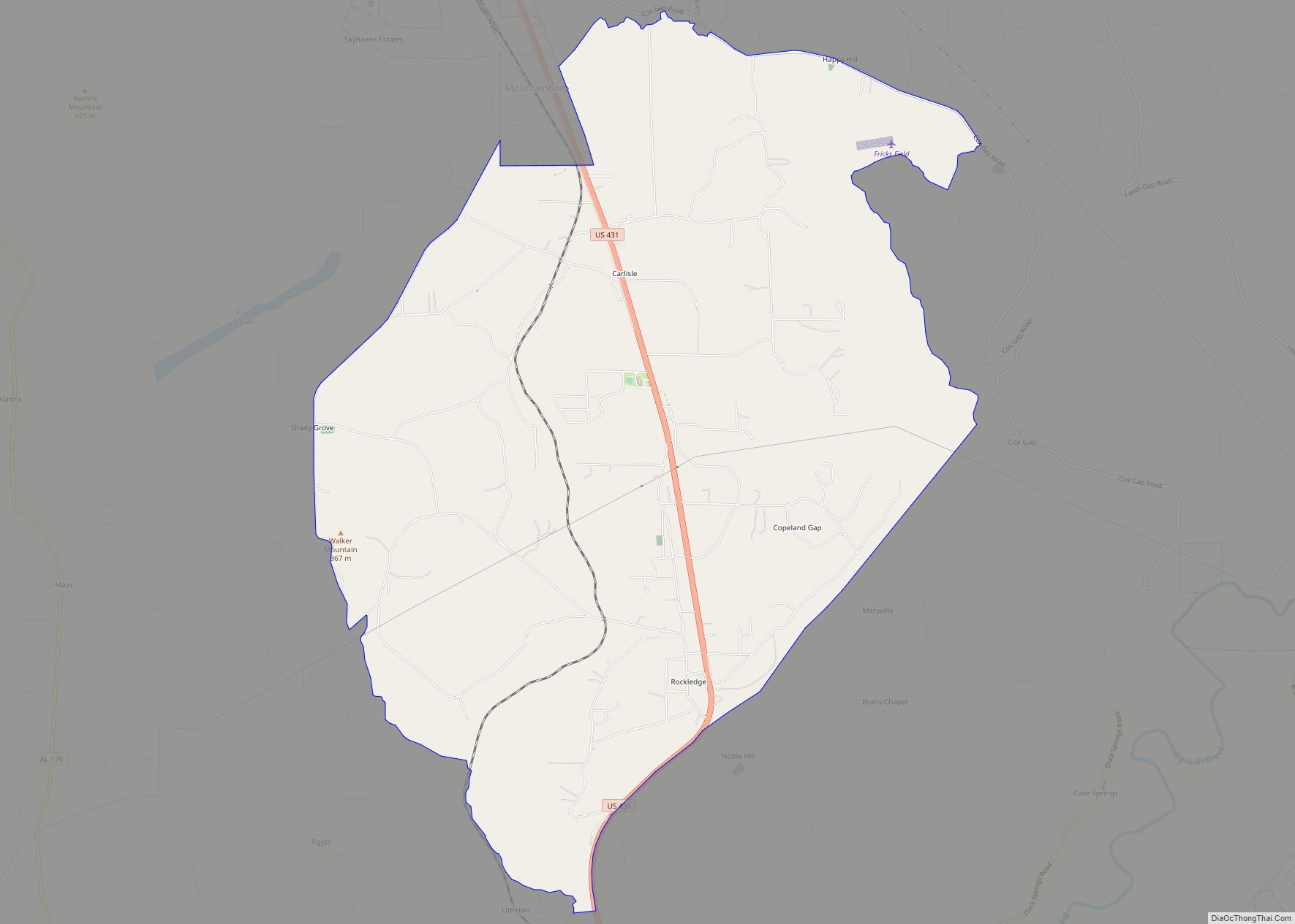
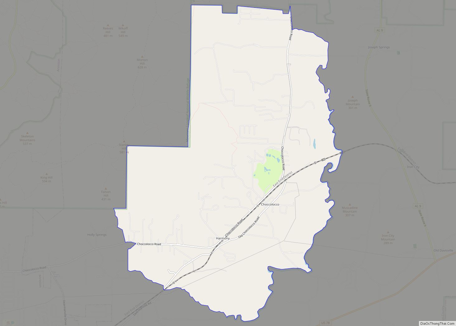
Online Interactive Map
Click on ![]() to view map in "full screen" mode.
to view map in "full screen" mode.
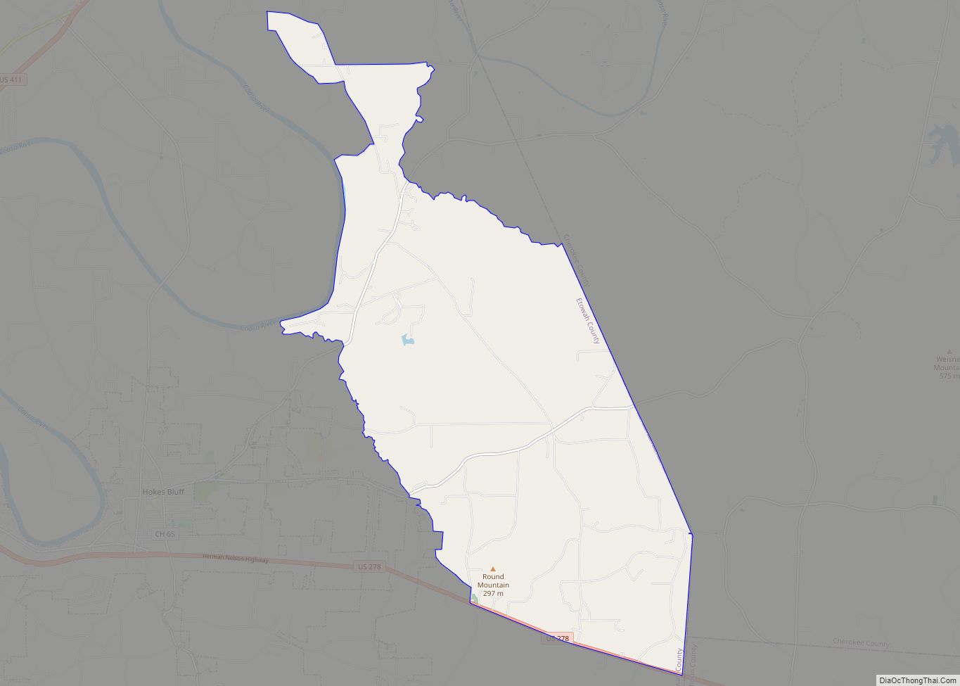
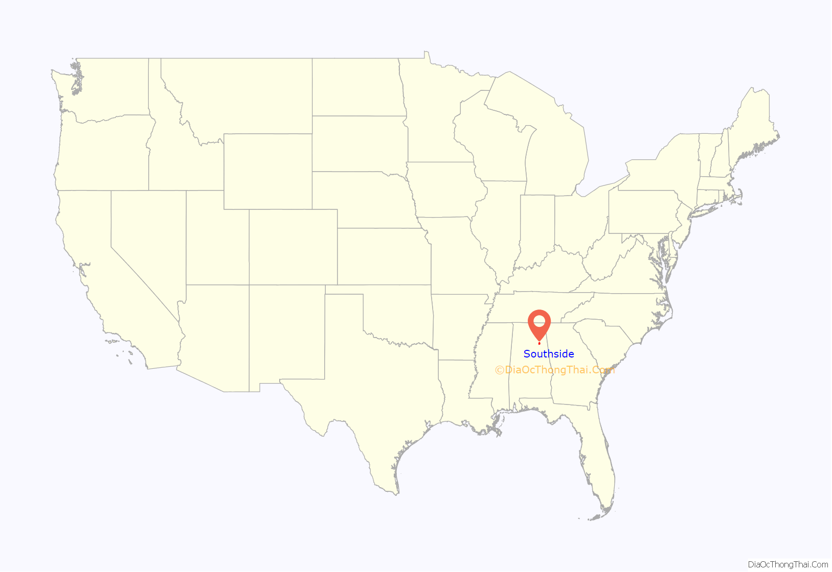
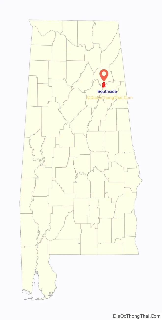
Southside location map. Where is Southside city?
History
Southside was first settled in 1850 as a small rural community with townships such as Green Valley, Cedar Bend, and Pilgrims Rest, and the area which is now the city of Southside was formed when they merged together. Early Southside’s primary source of income was agricultural. Green Valley was the early center of Southside’s industry; as its grist mill, blacksmith and sorghum mill were located there. The area’s cotton gin was located at Brannon Springs and State Highway 77.
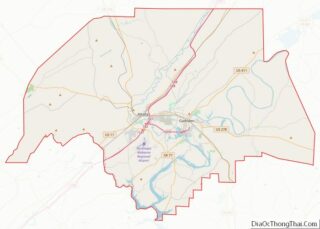
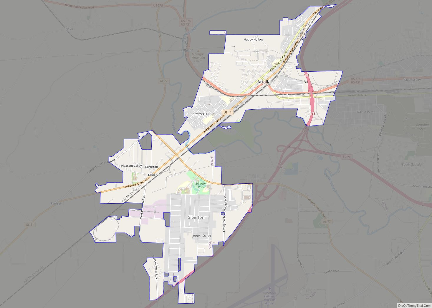
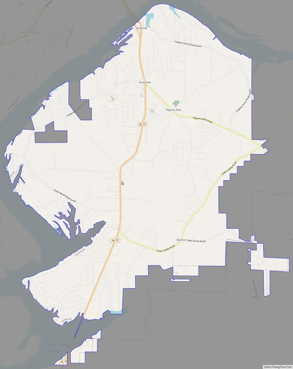
Southside Road Map
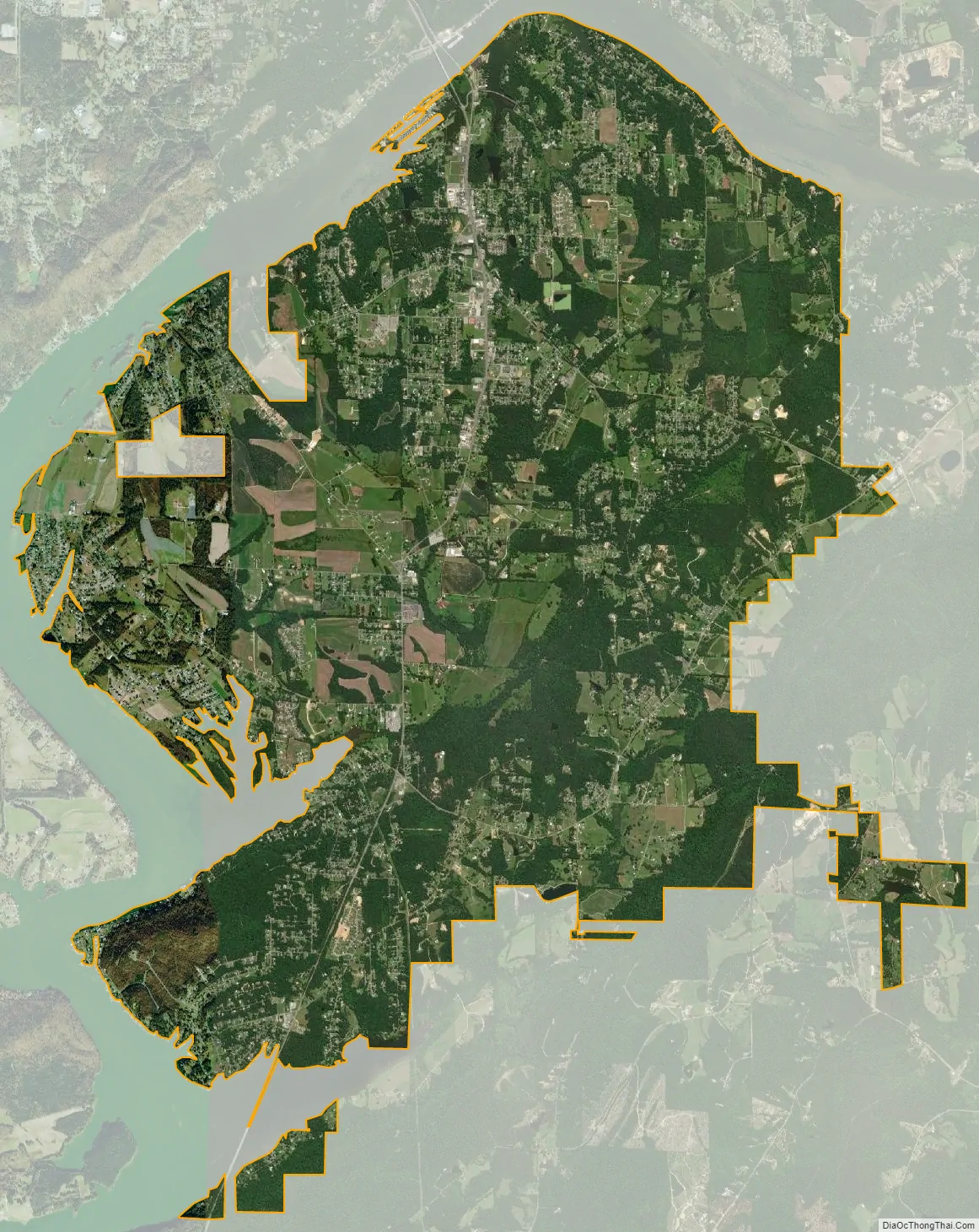
Southside city Satellite Map
Geography
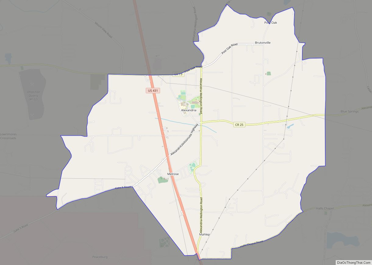
Southside is located in southern Etowah County on the south side of the Coosa River. A small part of the city extends south into Calhoun County. The city is in the foothills of the southern Appalachian Mountains.
According to the U.S. Census Bureau, the city has a total area of 19.2 square miles (49.6 km), of which 19.0 square miles (49.2 km) is land and 0.15 square miles (0.4 km), or 0.87%, is water.
See also
Map of Alabama State and its subdivision:- Autauga
- Baldwin
- Barbour
- Bibb
- Blount
- Bullock
- Butler
- Calhoun
- Chambers
- Cherokee
- Chilton
- Choctaw
- Clarke
- Clay
- Cleburne
- Coffee
- Colbert
- Conecuh
- Coosa
- Covington
- Crenshaw
- Cullman
- Dale
- Dallas
- De Kalb
- Elmore
- Escambia
- Etowah
- Fayette
- Franklin
- Geneva
- Greene
- Hale
- Henry
- Houston
- Jackson
- Jefferson
- Lamar
- Lauderdale
- Lawrence
- Lee
- Limestone
- Lowndes
- Macon
- Madison
- Marengo
- Marion
- Marshall
- Mobile
- Monroe
- Montgomery
- Morgan
- Perry
- Pickens
- Pike
- Randolph
- Russell
- Saint Clair
- Shelby
- Sumter
- Talladega
- Tallapoosa
- Tuscaloosa
- Walker
- Washington
- Wilcox
- Winston
- Alabama
- Alaska
- Arizona
- Arkansas
- California
- Colorado
- Connecticut
- Delaware
- District of Columbia
- Florida
- Georgia
- Hawaii
- Idaho
- Illinois
- Indiana
- Iowa
- Kansas
- Kentucky
- Louisiana
- Maine
- Maryland
- Massachusetts
- Michigan
- Minnesota
- Mississippi
- Missouri
- Montana
- Nebraska
- Nevada
- New Hampshire
- New Jersey
- New Mexico
- New York
- North Carolina
- North Dakota
- Ohio
- Oklahoma
- Oregon
- Pennsylvania
- Rhode Island
- South Carolina
- South Dakota
- Tennessee
- Texas
- Utah
- Vermont
- Virginia
- Washington
- West Virginia
- Wisconsin
- Wyoming