Anniston is the county seat of Calhoun County in Alabama and is one of two urban centers/principal cities of and included in the Anniston-Oxford Metropolitan Statistical Area. As of the 2010 census, the population of the city was 23,106. According to 2019 Census estimates, the city had a population of 21,287. Named “The Model City” by Atlanta newspaperman Henry W. Grady for its careful planning in the late 19th century, the city is situated on the slope of Blue Mountain.
| Name: | Anniston city |
|---|---|
| LSAD Code: | 25 |
| LSAD Description: | city (suffix) |
| State: | Alabama |
| County: | Calhoun County |
| Incorporated: | July 3, 1883 |
| Elevation: | 719 ft (219 m) |
| Land Area: | 45.83 sq mi (118.69 km²) |
| Water Area: | 0.07 sq mi (0.18 km²) |
| Population Density: | 470.57/sq mi (181.69/km²) |
| ZIP code: | 36201-36207 |
| Area code: | 256 |
| FIPS code: | 0101852 |
| GNISfeature ID: | 0159066 |
| Website: | www.annistonal.gov |
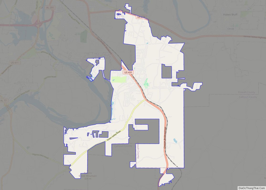
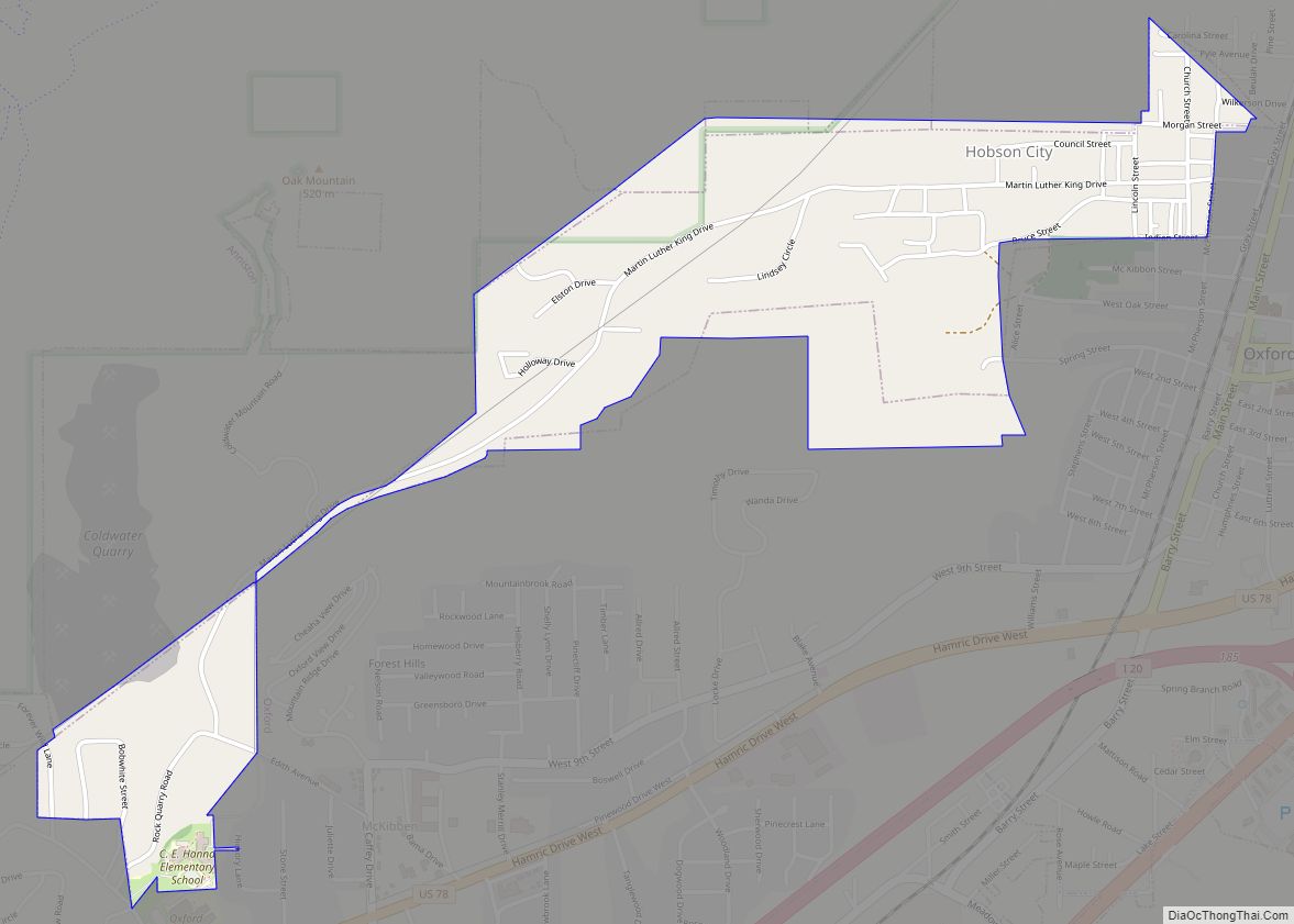
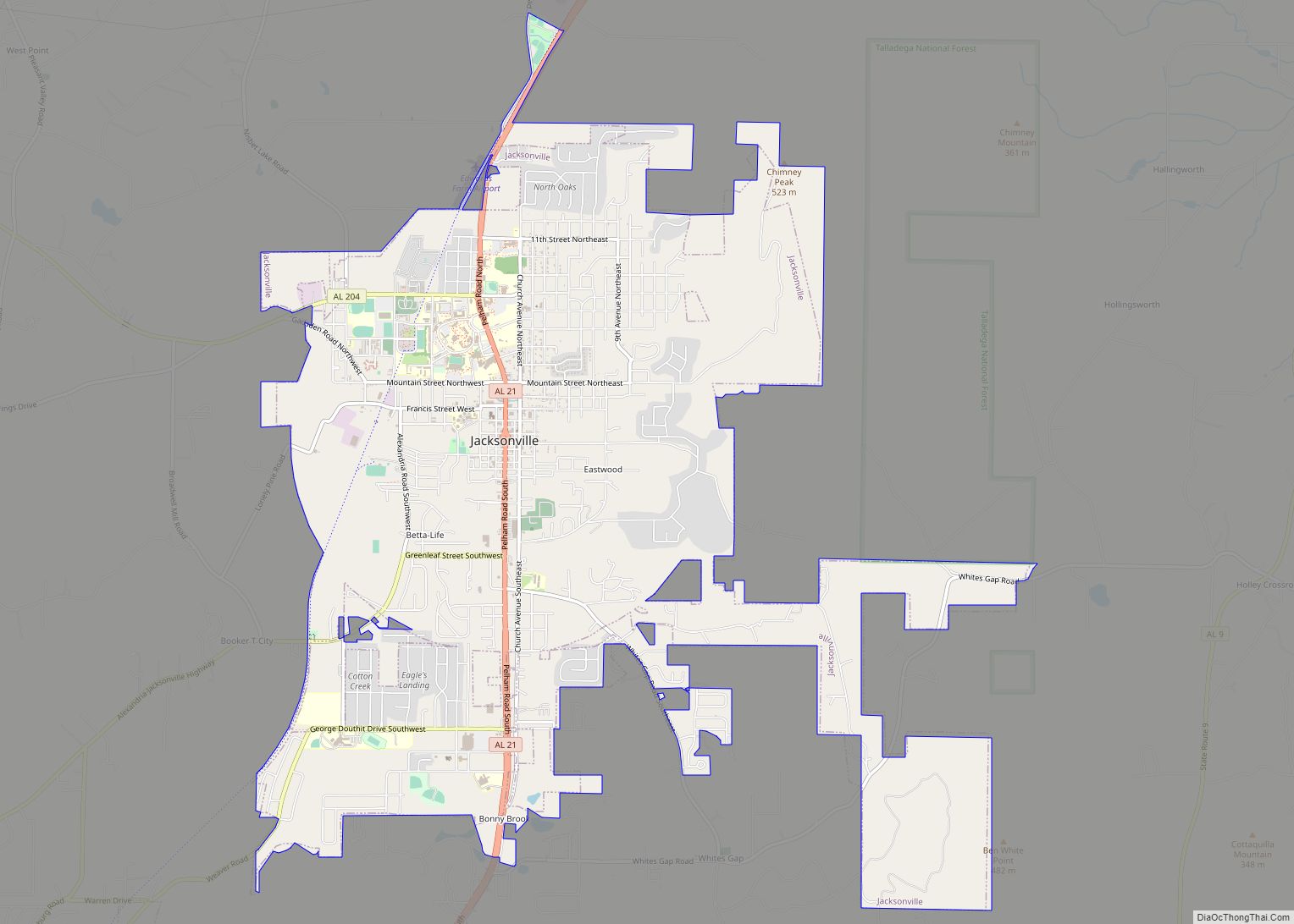
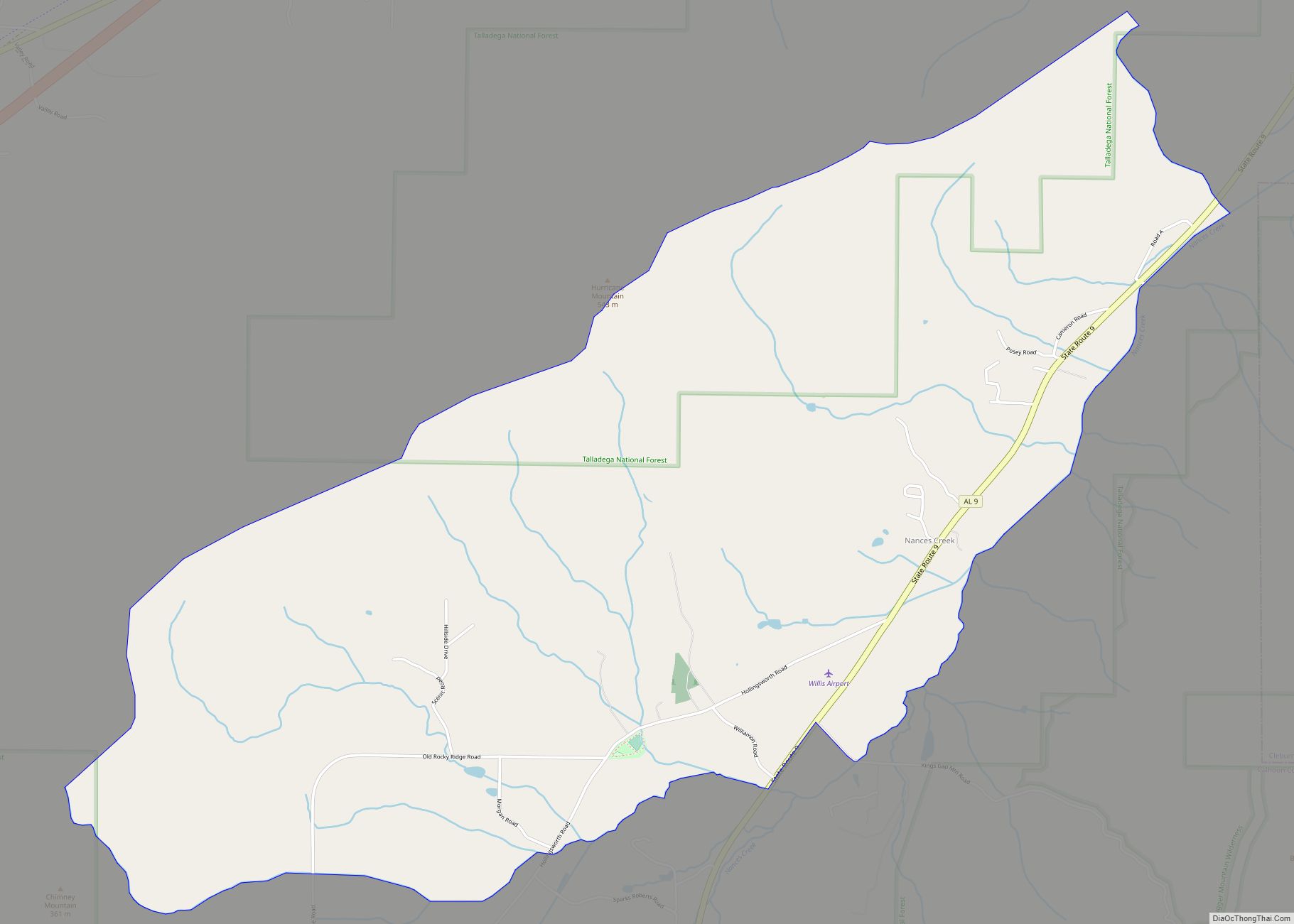
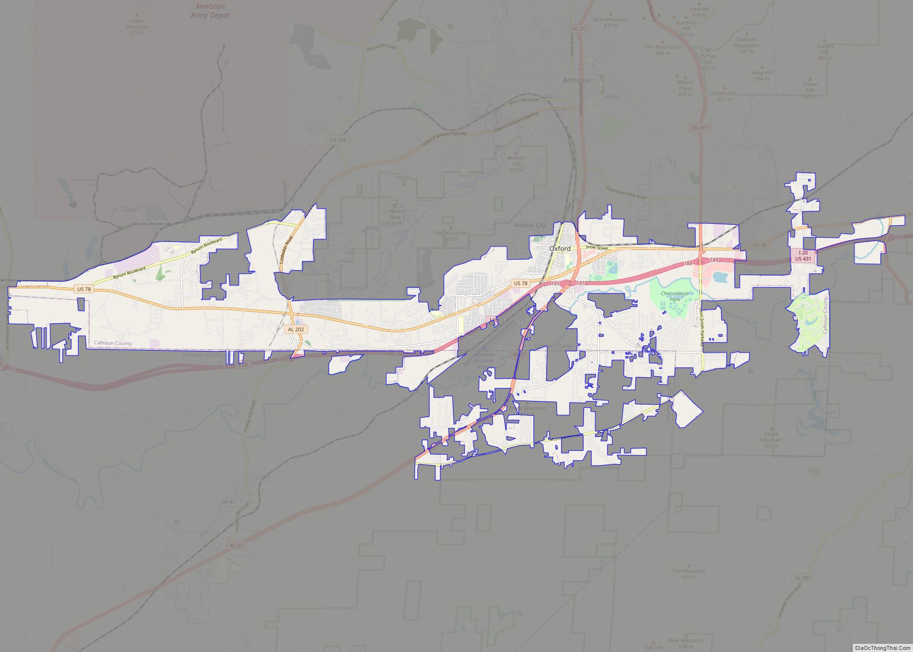
Online Interactive Map
Click on ![]() to view map in "full screen" mode.
to view map in "full screen" mode.
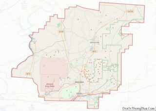
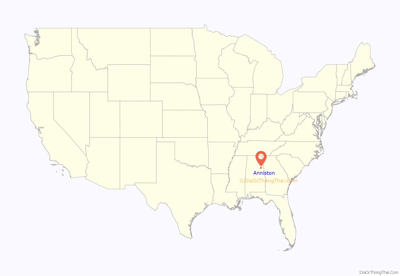
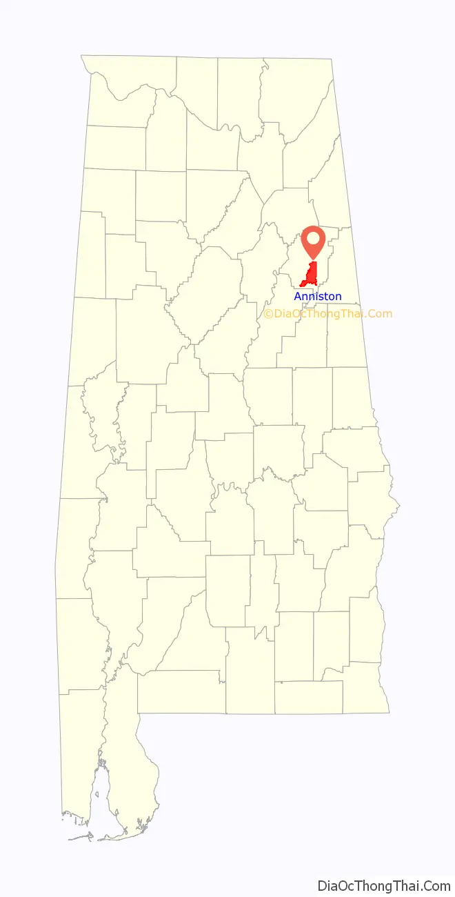
Anniston location map. Where is Anniston city?
History
Civil War
Though the surrounding area was settled much earlier, the mineral resources in the area of Anniston were not exploited until the Civil War. The Confederate States of America operated an iron furnace near present-day downtown Anniston, until it was destroyed by raiding Union cavalry in early 1865. Later, cast iron for sewer systems became the focus of Anniston’s industrial output. Cast iron pipe, also called soil pipe, was popular until the advent of plastic pipe in the 1960s.
Woodstock Iron Company
In 1872, the Woodstock Iron Company, organized by Samuel Noble and Union Gen. Daniel Tyler, rebuilt the furnace on a much larger scale, and started a planned community named Woodstock, soon renamed “Annie’s Town” for Annie Scott Tyler, Daniel’s daughter-in-law and wife of railroad president Alfred L. Tyler. Anniston was chartered as a town in 1873.
Though the roots of the town’s economy were in iron, steel, and clay pipe, planners touted it as a health resort, and several hotels began operating. Schools also appeared, including the Noble Institute, a school for girls established in 1886, and the Alabama Presbyterian College for Men, founded in 1905. Careful planning and easy access to rail transportation helped grow Anniston. In 1882, Anniston was the first city in Alabama to be lit by electricity. By 1941, Anniston was Alabama’s fifth largest city.
World War I and II
In 1917, at the start of World War I, the United States Army established a training camp at Fort McClellan. On the other side of town, the Anniston Army Depot opened during World War II as a major weapons storage and maintenance site, a role it continues to serve as munitions-incineration progresses. Most of the site of Fort McClellan was incorporated into Anniston in the late 1990s, and the Army closed the fort in 1999 following the Base Realignment and Closure round of 1995.
Civil Rights era
Anniston was the center of national controversy in 1961 when a mob bombed a bus filled with civilian Freedom Riders during the American Civil Rights Movement. As two Freedom buses were setting out to travel the south in protest of their civil rights following the Supreme Court case saying bus segregation was unconstitutional, one headed to Anniston, and one to Birmingham, Alabama, before finishing in New Orleans. The Freedom Riders were riding an integrated bus to protest Alabama’s Jim Crow segregation laws that denied African Americans their civil rights. One of the buses was attacked and firebombed by a mob outside Anniston on Mother’s Day, Sunday, May 14, 1961. Prior to the bus being firebombed, attackers broke windows, and slashed tires, using metal pipes, clubs, chains and crowbars, before the police came to escort the bus away. The bus was forced to a stop just outside of Anniston, in front of Forsyth and Sons grocery, by more mob members. As more windows were broken, rocks and eventually a firebomb were thrown into the bus. As the bus burned, the mob held the doors shut, intent on burning the riders to death. An exploding fuel tank caused the mob to retreat, allowing the riders to escape the bus. The riders were viciously beaten as they tried to flee, where warning shots fired into the air by highway patrolmen prevented the riders from being lynched on the spot. A 12-year-old girl, Janie Forsyth, set out against the mob with a bucket of water and cups to help the Riders, first tending to the one who had looked like her own nanny. Forsyth and Son grocery is located along Alabama Highway 202 about 5 miles (8 km) west of downtown. The site today is home to a historic marker and was designated Freedom Riders National Monument by President Barack Obama in January 2017.
In response to the violence, the city formed a bi-racial Human Relations Council (HRC) made up of prominent white business and religious leaders, but when they attempted to integrate the “whites-only” public library on Sunday afternoon, September 15, 1963 (the same day as the 16th Street Baptist Church bombing in Birmingham), further violence ensued and two black ministers, N.Q. Reynolds and Bob McClain, were severely beaten by a mob. The HRC chairman, white Presbyterian minister Rev. Phil Noble, worked with an elder of his church, Anniston City Commissioner Miller Sproull, to avoid KKK mob domination of the city. In a telephone conference with President John F. Kennedy, the President informed the HRC that after the Birmingham church bombing he had stationed additional federal troops at Fort McClellan. On September 16, 1963, with city police present, Noble and Sproull escorted black ministers into the library. In February 1964, Anniston Hardware, owned by the Sproull family, was bombed, presumably in retaliation for Commissioner Sproull’s integration efforts.
On the night of July 15, 1965, a white racist rally was held in Anniston, after which Willie Brewster, a black foundry worker, was shot and killed while driving home from work. A $20,000 reward was raised by Anniston civic leaders, and resulted in the apprehension, trial and conviction of the accused killer, Damon Strange, who worked for a leader of the Ku Klux Klan. Historian Taylor Branch called the conviction of Damon Strange a “breakthrough verdict” on p. 391 of his Pulitzer Prize-winning book, At Canaan’s Edge. Strange was convicted by an all-white Calhoun County jury to the surprise of many people, including civil rights leaders who had planned to protest an acquittal. This was the first conviction of a white person for killing a black person in civil rights era Alabama.
PCB contamination
PCBs were produced in Anniston from 1929 to 1971, initially as the Swann Chemical Company. In 1935 Monsanto Industrial Chemicals Co. bought the plant and took over production. In 1969, the plant was discharging about 250 pounds of the chemicals into Snow Creek per day, according to internal company documents.
In 2002, an investigation by 60 Minutes revealed Anniston had been among the most toxic cities in the country. The primary source of local contamination was a Monsanto chemical factory, which had already been closed. The EPA description of the site reads in part:
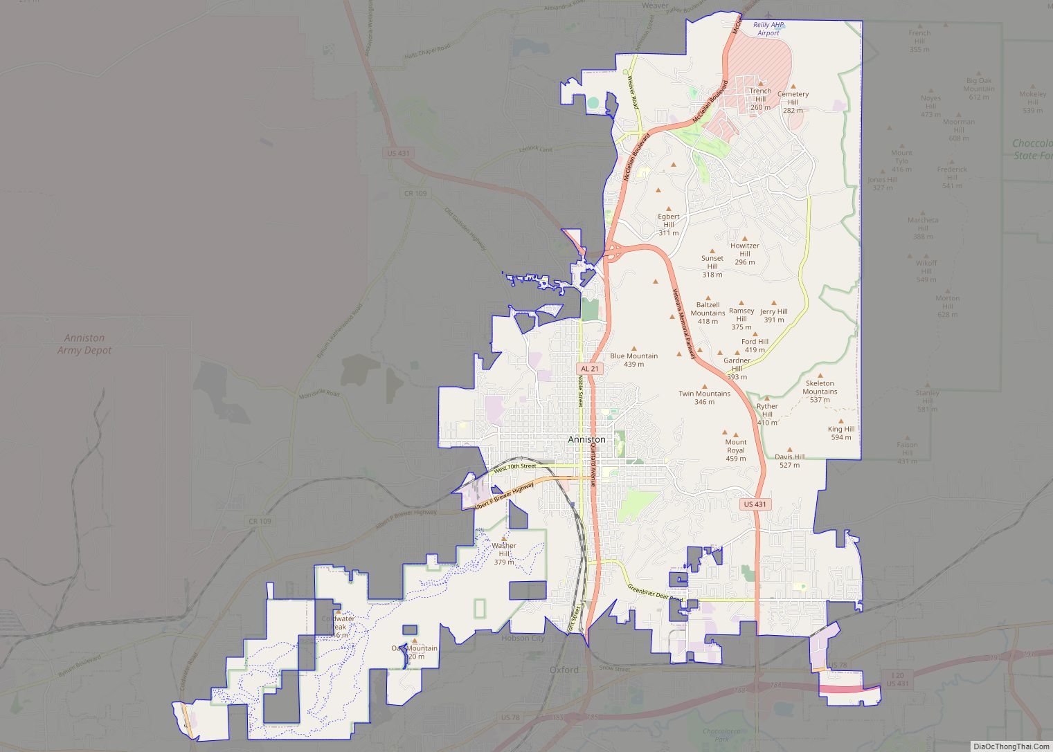
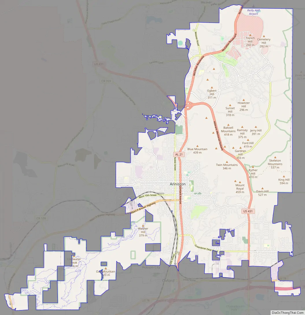
Anniston Road Map
Anniston city Satellite Map
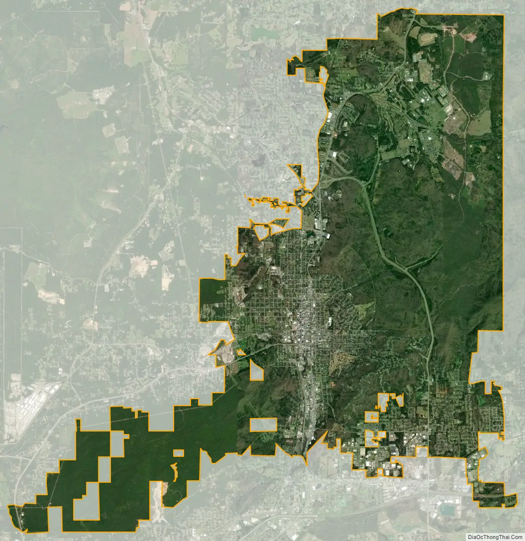
Geography
At the southernmost length of the Blue Ridge, part of the Appalachian Mountains, Anniston’s environment is home to diverse species of birds, reptiles and mammals. Part of the former Fort McClellan is now operating as Mountain Longleaf National Wildlife Refuge to protect endangered Southern Longleaf Pine species.
According to the U.S. Census Bureau, the city has a total area of 45.7 square miles (118.4 km), of which 45.6 square miles (118.2 km) is land and 0.08 square miles (0.2 km), or 0.15%, is water.
In 2003, part of the town of Blue Mountain was annexed into the city of Anniston, while the remaining portion of the town reverted to unincorporated Calhoun County.
Part of the city limits extend down to Interstate 20, with access from exit 188. Via I-20, Birmingham is 65 mi (105 km) west, and Atlanta is 91 mi (146 km) east.
Climate
The climate in this area is characterized by hot, humid summers and generally mild to cool winters. According to the Köppen Climate Classification system, Anniston has a humid subtropical climate, abbreviated “Cfa” on climate maps.
See also
Map of Alabama State and its subdivision:- Autauga
- Baldwin
- Barbour
- Bibb
- Blount
- Bullock
- Butler
- Calhoun
- Chambers
- Cherokee
- Chilton
- Choctaw
- Clarke
- Clay
- Cleburne
- Coffee
- Colbert
- Conecuh
- Coosa
- Covington
- Crenshaw
- Cullman
- Dale
- Dallas
- De Kalb
- Elmore
- Escambia
- Etowah
- Fayette
- Franklin
- Geneva
- Greene
- Hale
- Henry
- Houston
- Jackson
- Jefferson
- Lamar
- Lauderdale
- Lawrence
- Lee
- Limestone
- Lowndes
- Macon
- Madison
- Marengo
- Marion
- Marshall
- Mobile
- Monroe
- Montgomery
- Morgan
- Perry
- Pickens
- Pike
- Randolph
- Russell
- Saint Clair
- Shelby
- Sumter
- Talladega
- Tallapoosa
- Tuscaloosa
- Walker
- Washington
- Wilcox
- Winston
- Alabama
- Alaska
- Arizona
- Arkansas
- California
- Colorado
- Connecticut
- Delaware
- District of Columbia
- Florida
- Georgia
- Hawaii
- Idaho
- Illinois
- Indiana
- Iowa
- Kansas
- Kentucky
- Louisiana
- Maine
- Maryland
- Massachusetts
- Michigan
- Minnesota
- Mississippi
- Missouri
- Montana
- Nebraska
- Nevada
- New Hampshire
- New Jersey
- New Mexico
- New York
- North Carolina
- North Dakota
- Ohio
- Oklahoma
- Oregon
- Pennsylvania
- Rhode Island
- South Carolina
- South Dakota
- Tennessee
- Texas
- Utah
- Vermont
- Virginia
- Washington
- West Virginia
- Wisconsin
- Wyoming