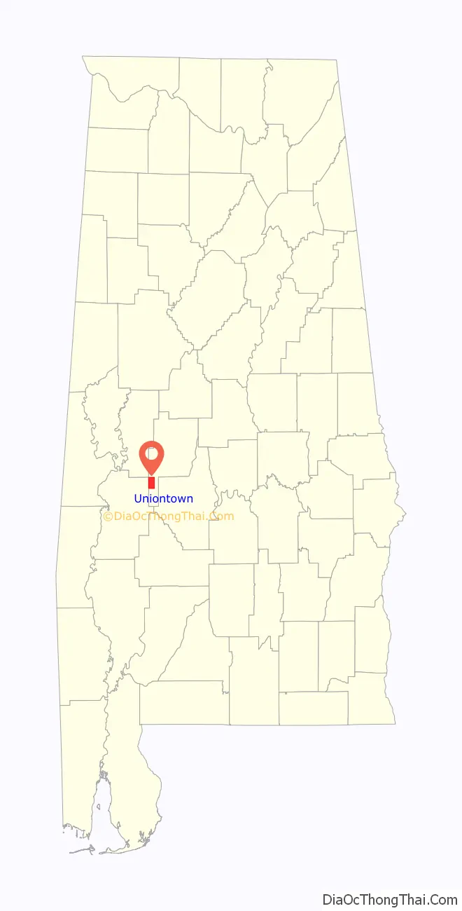
Uniontown is a city in Perry County, Alabama, in west-central Alabama. As of the 2020 census, the population of the city is 2,107, up 18.7% over 2010. Of the 573 cities in Alabama, Uniontown is the 207th most populous.
Uniontown has four sites listed on the National Register of Historic Places: Fairhope Plantation, Pitts’ Folly, the Uniontown Historic District, and Westwood.
| Name: | Uniontown town |
|---|---|
| LSAD Code: | 43 |
| LSAD Description: | town (suffix) |
| State: | Alabama |
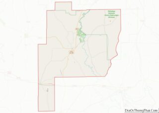
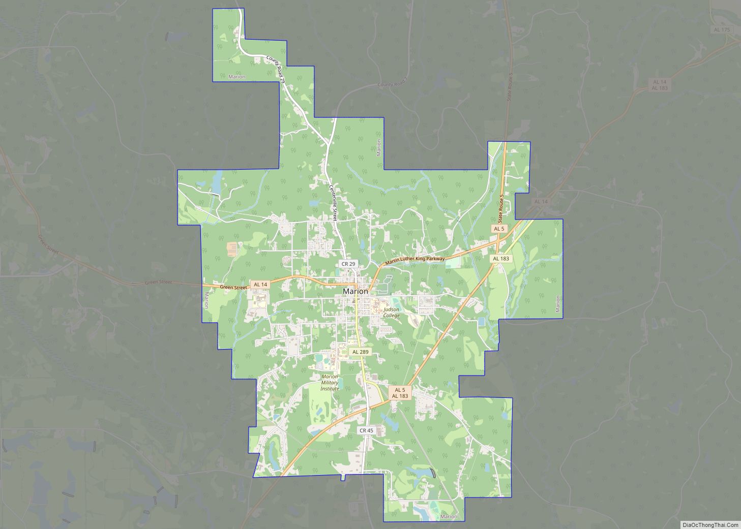
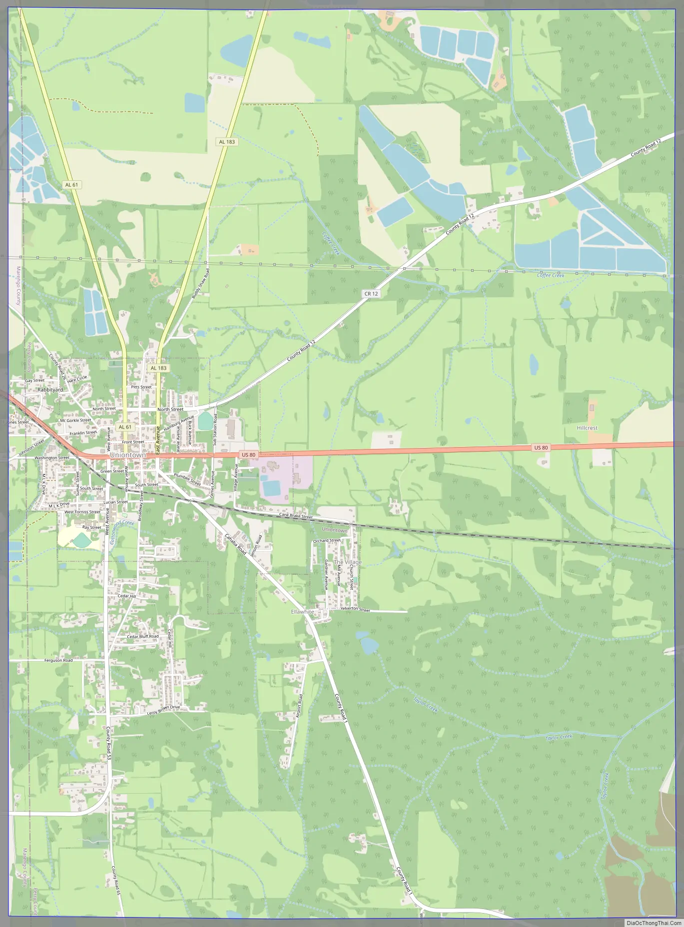
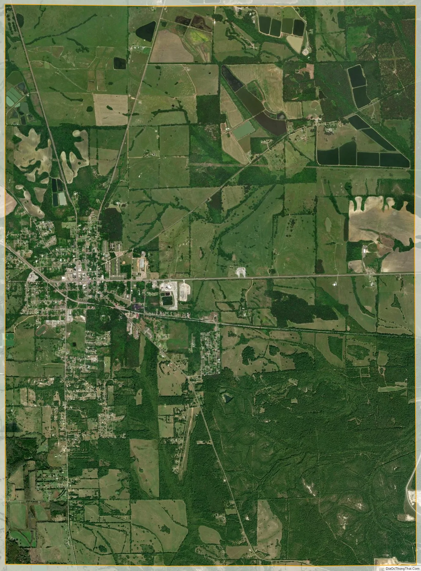
| County: | Perry County |
| Elevation: | 299 ft (91 m) |
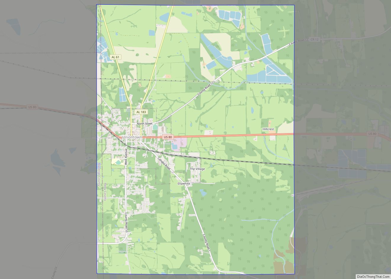
| Total Area: | 15.19 sq mi (39.35 km²) |
| Land Area: | 15.18 sq mi (39.31 km²) |
| Water Area: | 0.02 sq mi (0.04 km²) |
| Total Population: | 2,107 |
| Population Density: | 138.83/sq mi (53.60/km²) |
| ZIP code: | 36786 |
| Area code: | 334 |
| FIPS code: | 0177904 |
| GNISfeature ID: | 0153806 |
| Website: | uniontownal.com |
Online Interactive Map
Click on ![]() to view map in "full screen" mode.
to view map in "full screen" mode.
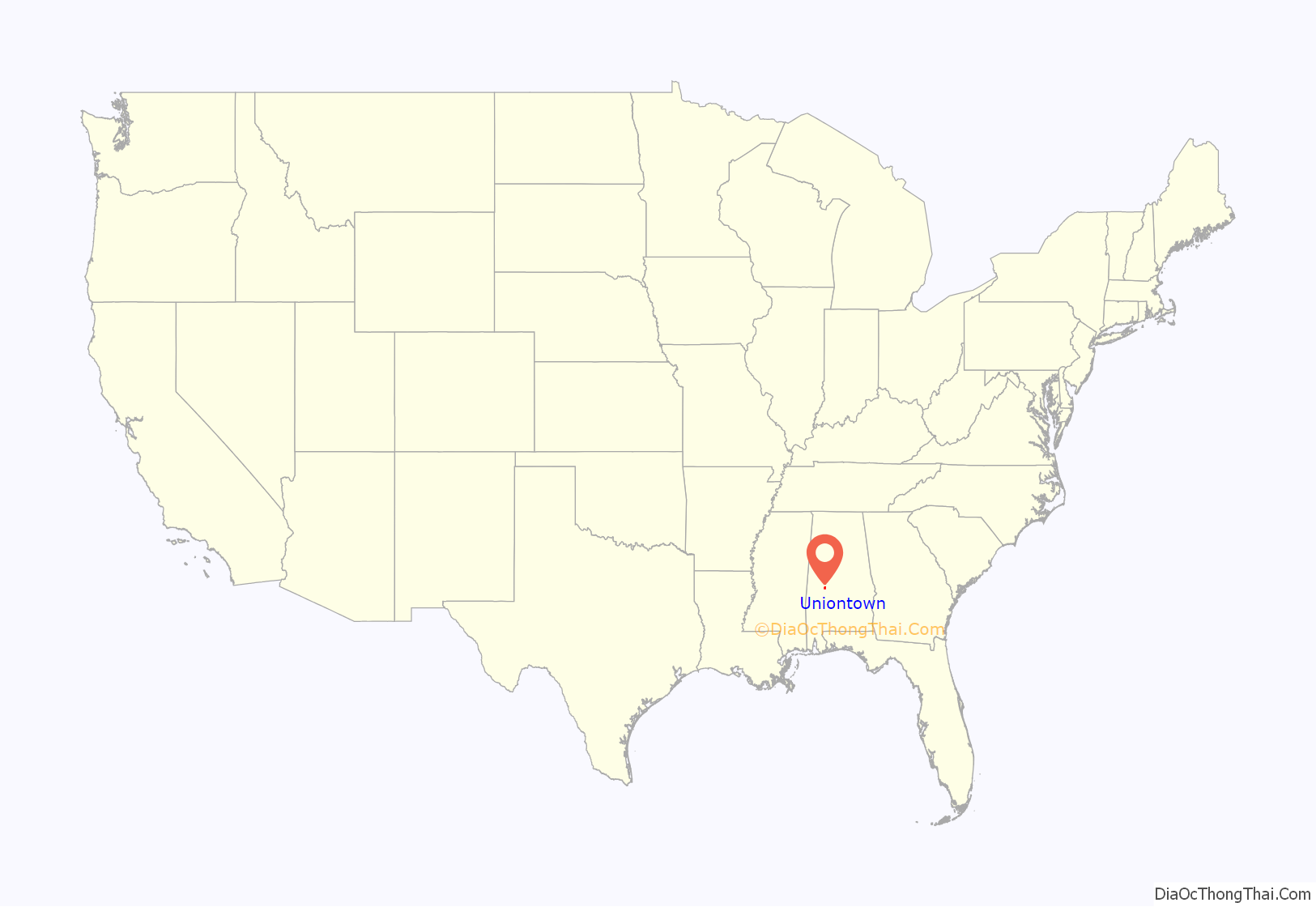
Uniontown location map. Where is Uniontown town?
History
First settled in 1818, the area that would become Uniontown was initially called Woodville after the first family settling there; the town was incorporated on December 23, 1836. Woodville was the terminus of one of the earliest plank roads (a road paved with wooden planks) in the state, which was constructed in 1848 and connected Woodville with Demopolis. The Alabama and Mississippi Railroad came through the town in 1857.
By 1860, the town had grown enough to support educational facilities for both boys and girls. In addition to the schools, the town had a number of businesses on its main street, including two department stores, and the town’s economy was tied closely to the surrounding plantations. The town became known as Uniontown in 1861 at the suggestion of a local planter, Philip Weaver, whose hometown was Uniontown, Maryland. Uniontown sent a number of men to fight with the Canebrake Rifle Guards during the Civil War, a unit named after the geographical region in which Uniontown is located, as well as in another unit known as the Independent Troop of Uniontown. The area remained tied to the agricultural economy after the war.
In 1897, the Uniontown Cotton Oil Company was established in the town, one of the first facilities of its kind in the state and one of the first industrial businesses in Perry County; it manufactured cotton seed oil and cottonseed meal.
By 1900, the town had cotton gins, cotton warehouses, and a cotton mill. The city also had electricity and telephone services by this time. Less than two decades later, however, Uniontown began to lose population as more people abandoned plantations, largely because of the boll weevil’s ruinous effect on the cotton crop. The town remains largely dependent on agricultural activities, including livestock farming, in the surrounding area.
Uniontown Road Map
Uniontown city Satellite Map
Geography
Uniontown is located at 32°26′56″N 87°30′44″W / 32.44889°N 87.51222°W / 32.44889; -87.51222 (32.448984, -87.512287).
According to the U.S. Census Bureau, the city has a total area of 15.19 square miles (39.3 km), 15.18 square miles (39.3 km) land and 0.02 square miles (0.052 km) water.
See also
Map of Alabama State and its subdivision:- Autauga
- Baldwin
- Barbour
- Bibb
- Blount
- Bullock
- Butler
- Calhoun
- Chambers
- Cherokee
- Chilton
- Choctaw
- Clarke
- Clay
- Cleburne
- Coffee
- Colbert
- Conecuh
- Coosa
- Covington
- Crenshaw
- Cullman
- Dale
- Dallas
- De Kalb
- Elmore
- Escambia
- Etowah
- Fayette
- Franklin
- Geneva
- Greene
- Hale
- Henry
- Houston
- Jackson
- Jefferson
- Lamar
- Lauderdale
- Lawrence
- Lee
- Limestone
- Lowndes
- Macon
- Madison
- Marengo
- Marion
- Marshall
- Mobile
- Monroe
- Montgomery
- Morgan
- Perry
- Pickens
- Pike
- Randolph
- Russell
- Saint Clair
- Shelby
- Sumter
- Talladega
- Tallapoosa
- Tuscaloosa
- Walker
- Washington
- Wilcox
- Winston
- Alabama
- Alaska
- Arizona
- Arkansas
- California
- Colorado
- Connecticut
- Delaware
- District of Columbia
- Florida
- Georgia
- Hawaii
- Idaho
- Illinois
- Indiana
- Iowa
- Kansas
- Kentucky
- Louisiana
- Maine
- Maryland
- Massachusetts
- Michigan
- Minnesota
- Mississippi
- Missouri
- Montana
- Nebraska
- Nevada
- New Hampshire
- New Jersey
- New Mexico
- New York
- North Carolina
- North Dakota
- Ohio
- Oklahoma
- Oregon
- Pennsylvania
- Rhode Island
- South Carolina
- South Dakota
- Tennessee
- Texas
- Utah
- Vermont
- Virginia
- Washington
- West Virginia
- Wisconsin
- Wyoming