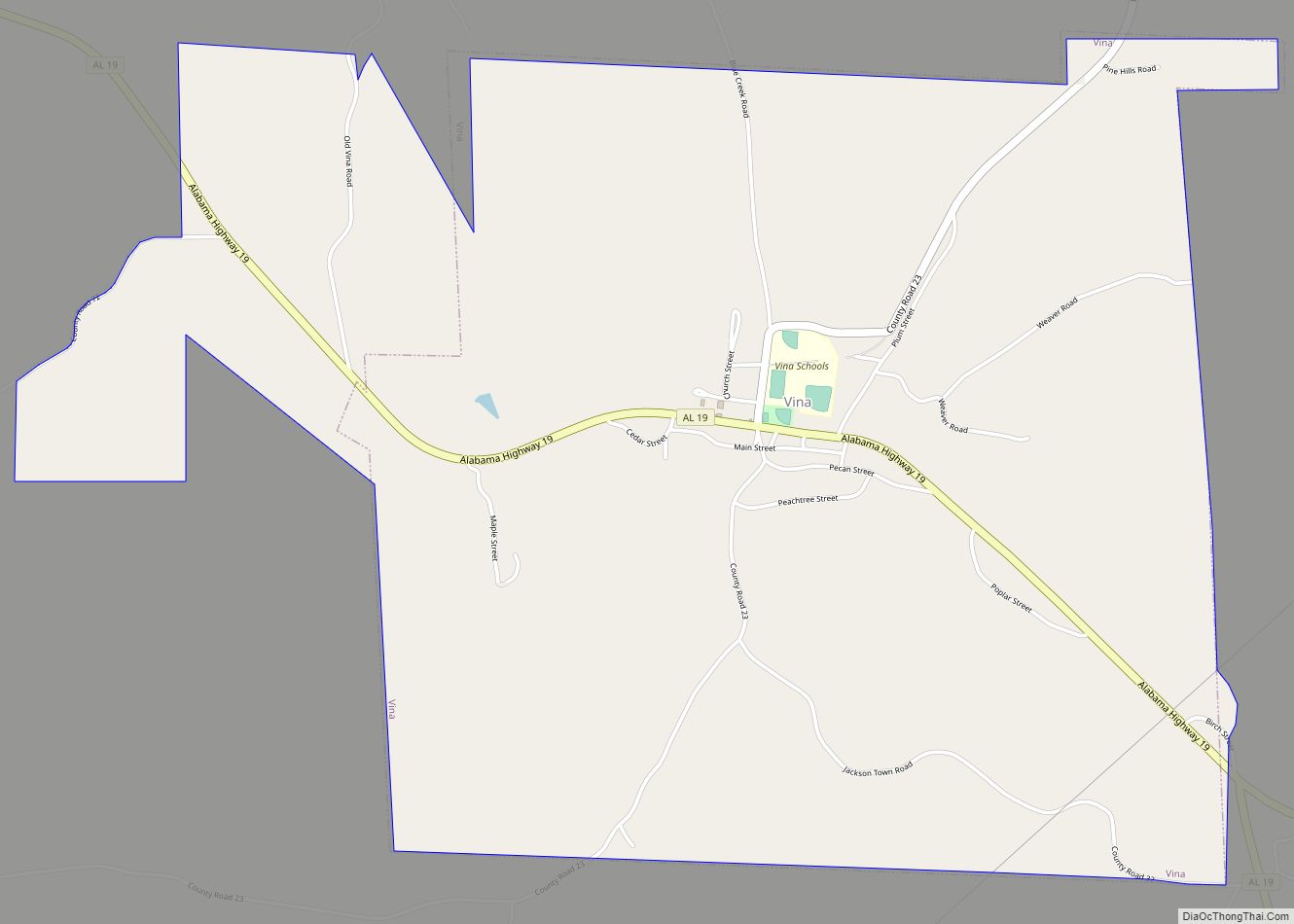
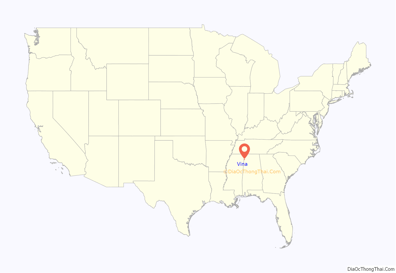
Vina is a town in Franklin County, Alabama, United States. At the 2010 census the population was 358, down from 400 in 2000.
Carl Elliott, the representative of Alabama’s 7th congressional district from 1949 to 1965, graduated in 1929 from Vina High School.
Johnny Mack Morrow, who served in the Alabama Legislature from 1990 to 2018 was born in Vina.
Vina was incorporated in 1909.
| Name: | Vina town |
|---|---|
| LSAD Code: | 43 |
| LSAD Description: | town (suffix) |
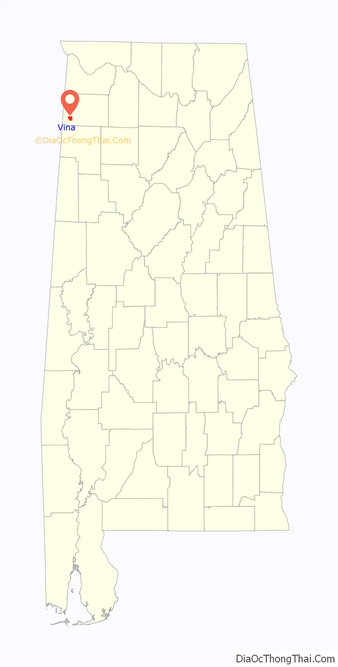
| State: | Alabama |
| County: | Franklin County |
| Elevation: | 682 ft (208 m) |
| Total Area: | 4.80 sq mi (12.45 km²) |
| Land Area: | 4.80 sq mi (12.43 km²) |
| Water Area: | 0.00 sq mi (0.01 km²) |
| Total Population: | 325 |
| Population Density: | 67.69/sq mi (26.14/km²) |
| ZIP code: | 35593 |
| Area code: | 256 |
| FIPS code: | 0178984 |
| GNISfeature ID: | 0153851 |
| Website: | vinaalabama.org |
Online Interactive Map
Click on ![]() to view map in "full screen" mode.
to view map in "full screen" mode.
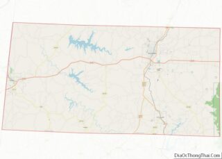
Vina location map. Where is Vina town?
History
Vina was originally known as “Jones Crossroads,” and later as “New Burleson.” When a branch of the Illinois Central Railroad was constructed through the area in the early 1900s, the community was renamed “Vina” after the wife of a railroad engineer.
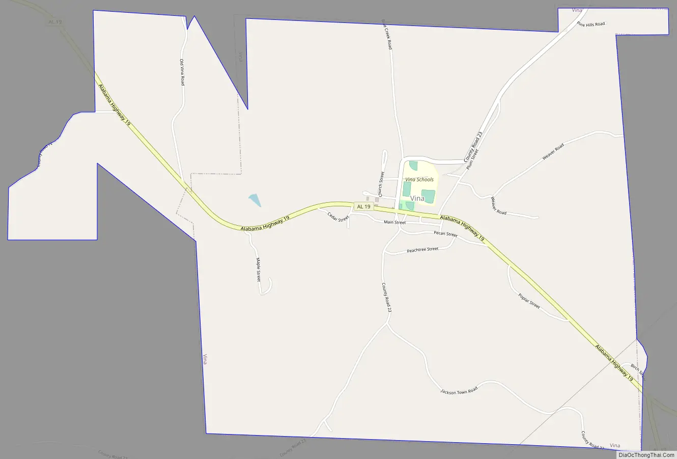
Vina Road Map
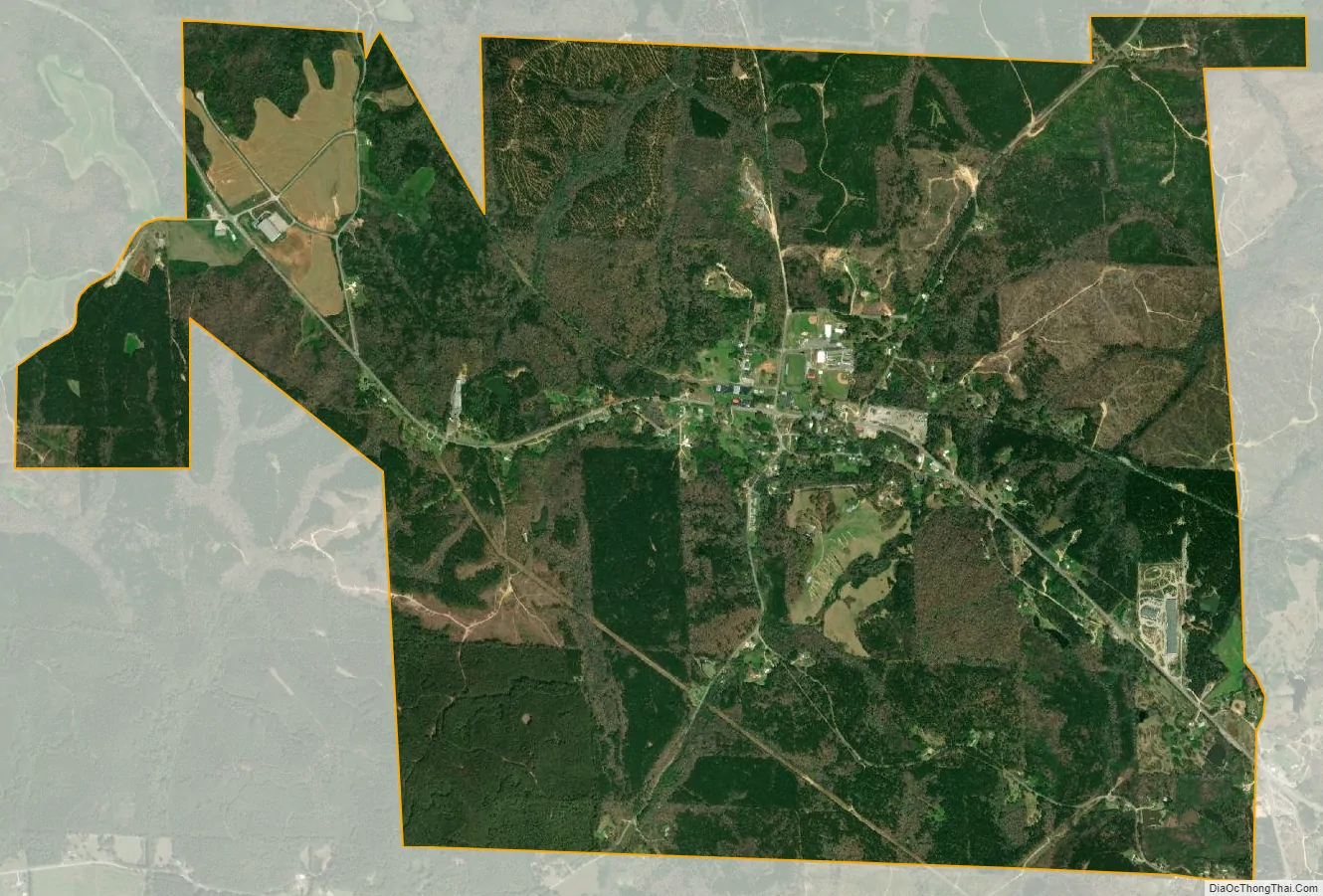
Vina city Satellite Map
Geography
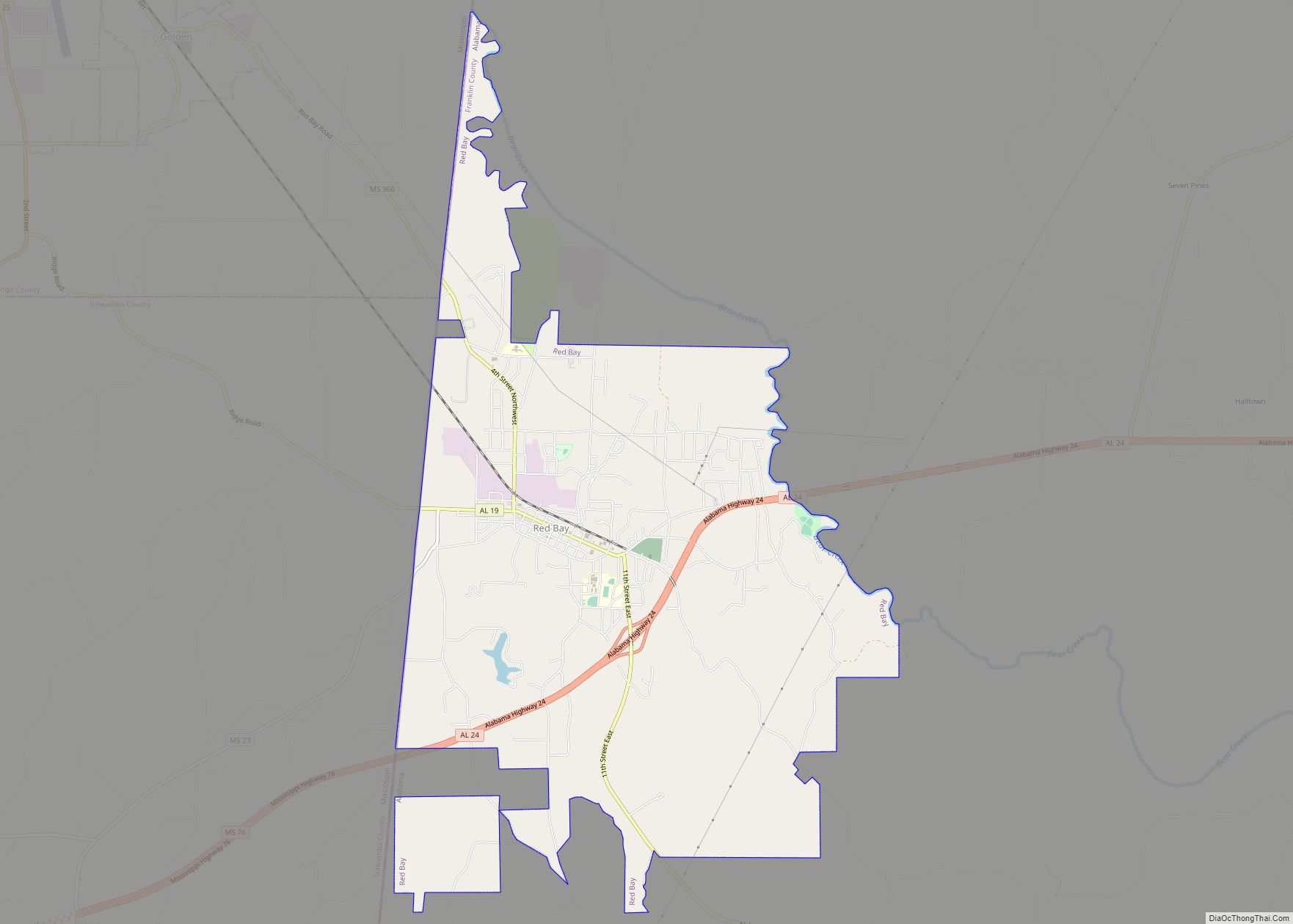
Vina is located in southwestern Franklin County County at 34°22′30″N 88°3′13″W / 34.37500°N 88.05361°W / 34.37500; -88.05361 (34.374874, -88.053498). Alabama State Route 19 passes through the town, leading northwest 7 miles (11 km) to Red Bay and south 21 miles (34 km) to Hamilton.
According to the U.S. Census Bureau, the town has a total area of 4.8 square miles (12.4 km), all land. The town sits on the Tennessee Valley Divide, with the north side draining via several creeks to Bear Creek, a north-flowing tributary of the Tennessee River; the south side of town drains to Hurricane Creek, a southwest-flowing part of the Tombigbee River watershed.
See also
Map of Alabama State and its subdivision:- Autauga
- Baldwin
- Barbour
- Bibb
- Blount
- Bullock
- Butler
- Calhoun
- Chambers
- Cherokee
- Chilton
- Choctaw
- Clarke
- Clay
- Cleburne
- Coffee
- Colbert
- Conecuh
- Coosa
- Covington
- Crenshaw
- Cullman
- Dale
- Dallas
- De Kalb
- Elmore
- Escambia
- Etowah
- Fayette
- Franklin
- Geneva
- Greene
- Hale
- Henry
- Houston
- Jackson
- Jefferson
- Lamar
- Lauderdale
- Lawrence
- Lee
- Limestone
- Lowndes
- Macon
- Madison
- Marengo
- Marion
- Marshall
- Mobile
- Monroe
- Montgomery
- Morgan
- Perry
- Pickens
- Pike
- Randolph
- Russell
- Saint Clair
- Shelby
- Sumter
- Talladega
- Tallapoosa
- Tuscaloosa
- Walker
- Washington
- Wilcox
- Winston
- Alabama
- Alaska
- Arizona
- Arkansas
- California
- Colorado
- Connecticut
- Delaware
- District of Columbia
- Florida
- Georgia
- Hawaii
- Idaho
- Illinois
- Indiana
- Iowa
- Kansas
- Kentucky
- Louisiana
- Maine
- Maryland
- Massachusetts
- Michigan
- Minnesota
- Mississippi
- Missouri
- Montana
- Nebraska
- Nevada
- New Hampshire
- New Jersey
- New Mexico
- New York
- North Carolina
- North Dakota
- Ohio
- Oklahoma
- Oregon
- Pennsylvania
- Rhode Island
- South Carolina
- South Dakota
- Tennessee
- Texas
- Utah
- Vermont
- Virginia
- Washington
- West Virginia
- Wisconsin
- Wyoming