Webb is a town in Houston County, Alabama, United States. It is named for plantation owner B. F. Webb, who settled in the area around 1890. The town was incorporated in 1903. It is part of the Dothan, Alabama Metropolitan Statistical Area. As of the 2010 census, the population was 1,430, up from 1,298 in 2000.
| Name: | Webb town |
|---|---|
| LSAD Code: | 43 |
| LSAD Description: | town (suffix) |
| State: | Alabama |
| County: | Houston County |
| Elevation: | 305 ft (93 m) |
| Total Area: | 11.26 sq mi (29.16 km²) |
| Land Area: | 11.26 sq mi (29.16 km²) |
| Water Area: | 0.00 sq mi (0.00 km²) |
| Total Population: | 1,270 |
| Population Density: | 112.80/sq mi (43.55/km²) |
| ZIP code: | 36376 |
| Area code: | 334 |
| FIPS code: | 0180376 |
| GNISfeature ID: | 0128676 |
| Website: | www.webbalabama.com |
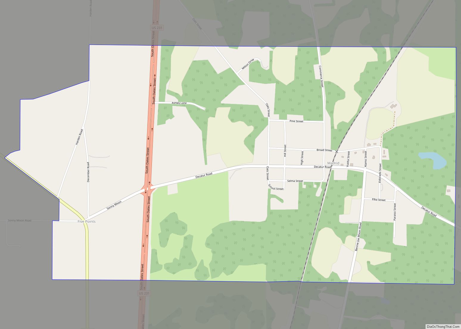
Online Interactive Map
Click on ![]() to view map in "full screen" mode.
to view map in "full screen" mode.
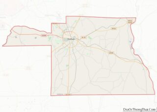
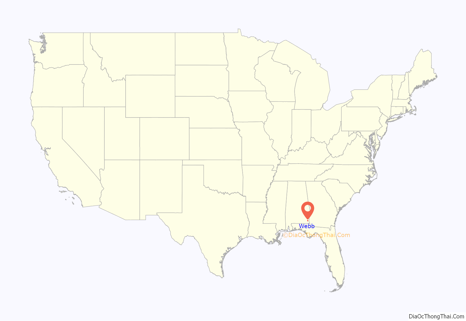
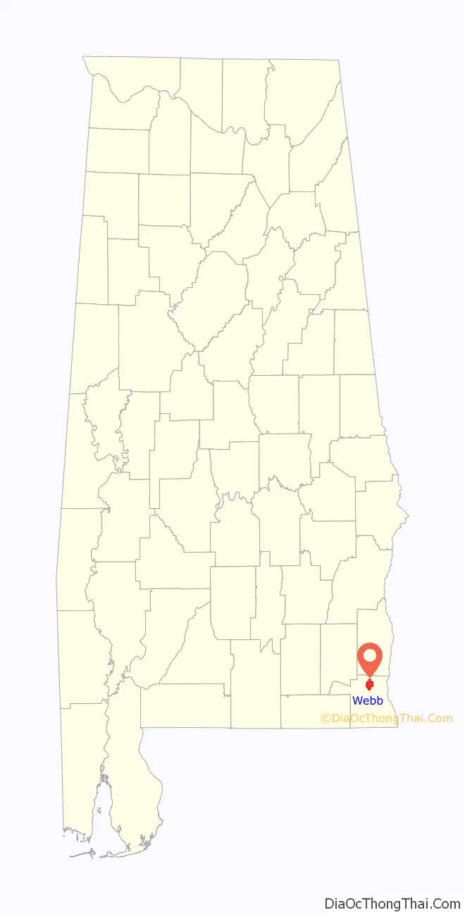
Webb location map. Where is Webb town?
Webb Road Map
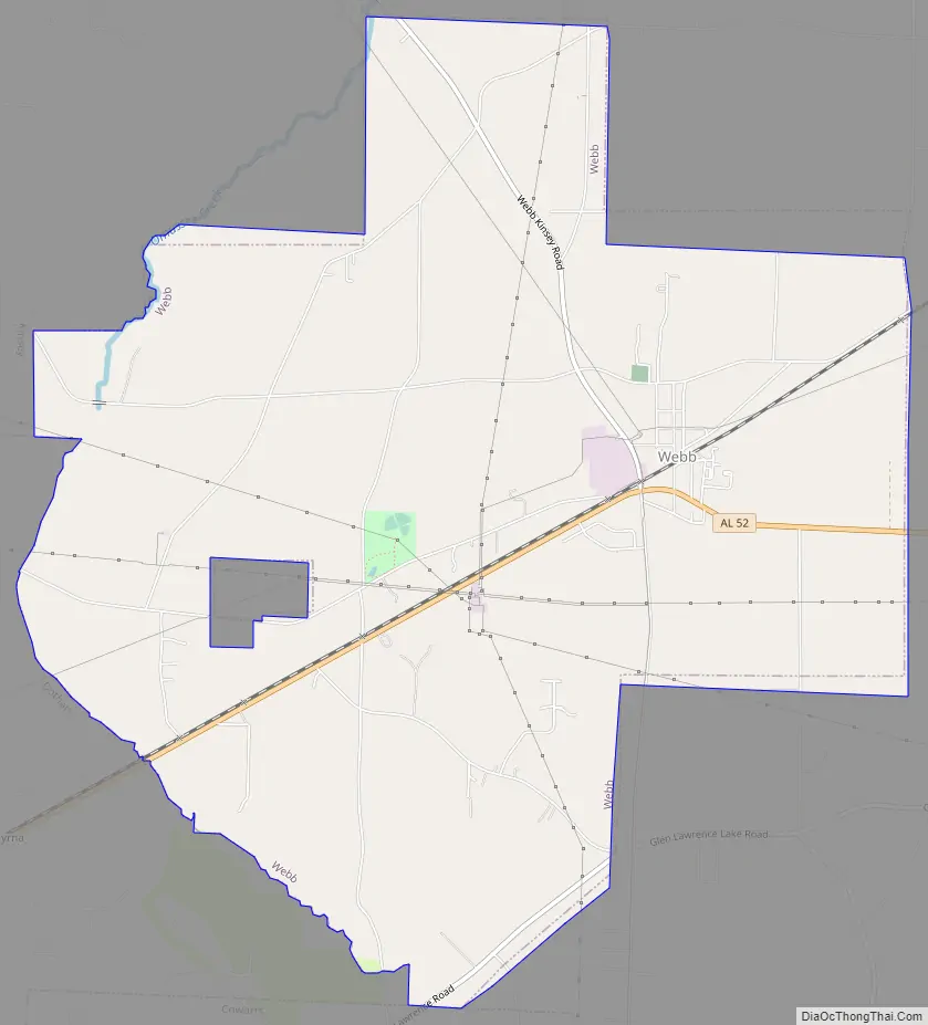
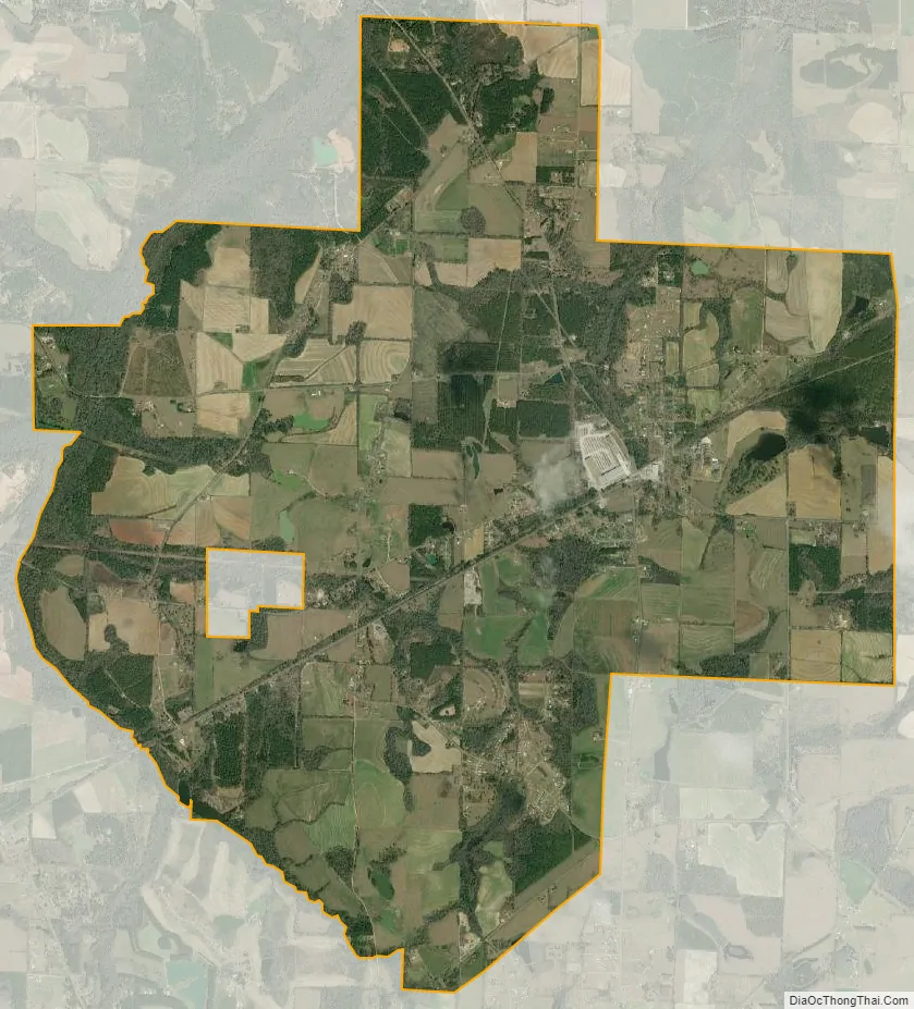
Webb city Satellite Map
Geography
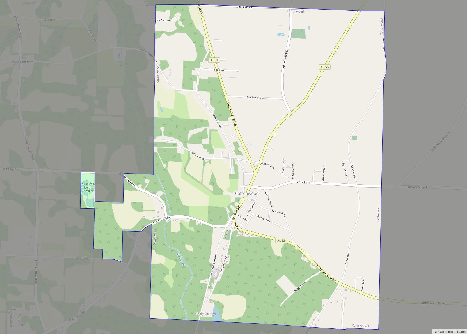
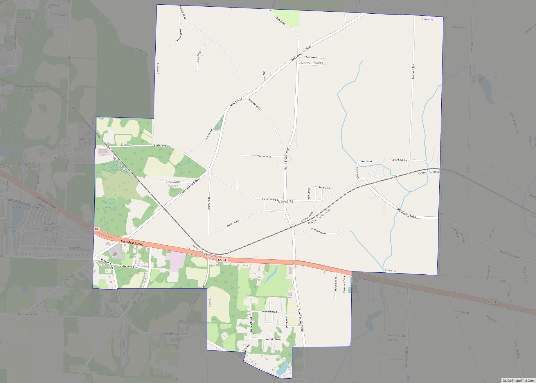
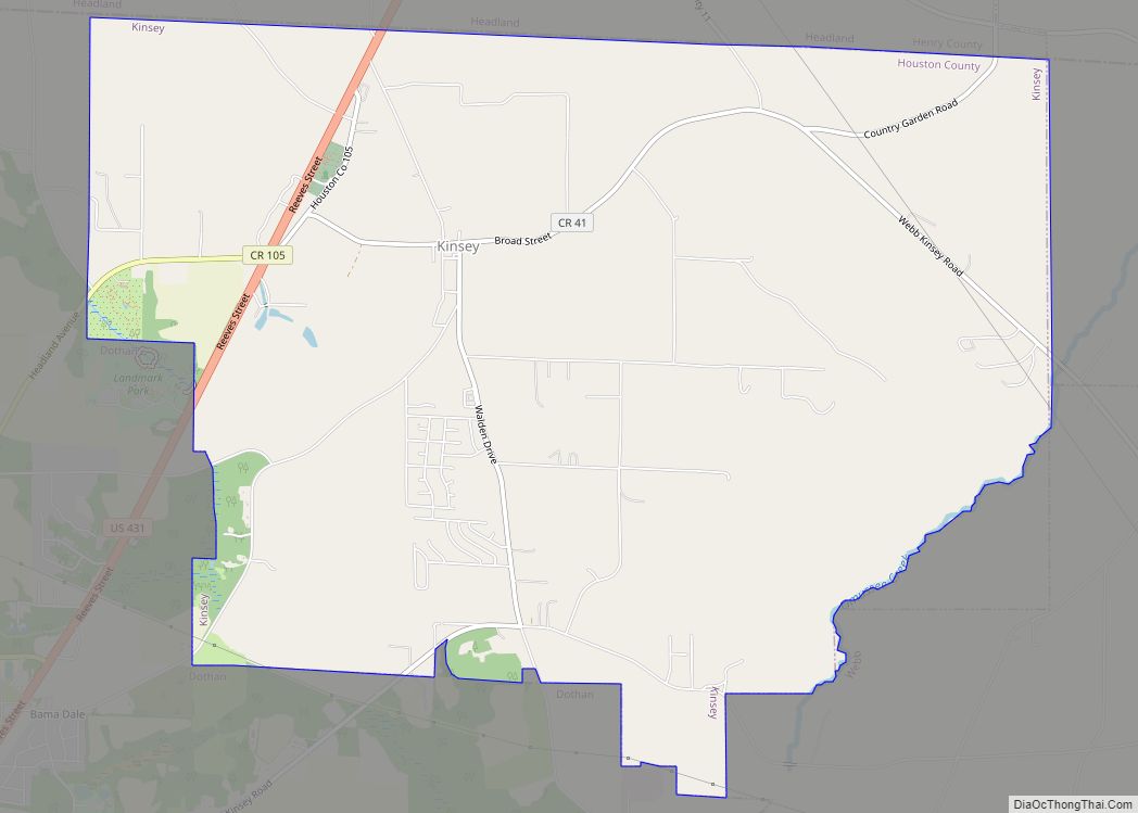
Webb is located in northern Houston County at 31°15′37″N 85°17′1″W / 31.26028°N 85.28361°W / 31.26028; -85.28361 (31.260358, -85.283533). It is bordered to the northwest by the town of Kinsey, to the west by the city of Dothan, and at its southern tip by the town of Cowarts.
Alabama State Route 52 passes through Webb, leading west 7 miles (11 km) into Dothan and east 10 miles (16 km) to Columbia at the Georgia border.
According to the U.S. Census Bureau, the town of Webb has a total area of 11.4 square miles (29.5 km), all land.
See also
Map of Alabama State and its subdivision:- Autauga
- Baldwin
- Barbour
- Bibb
- Blount
- Bullock
- Butler
- Calhoun
- Chambers
- Cherokee
- Chilton
- Choctaw
- Clarke
- Clay
- Cleburne
- Coffee
- Colbert
- Conecuh
- Coosa
- Covington
- Crenshaw
- Cullman
- Dale
- Dallas
- De Kalb
- Elmore
- Escambia
- Etowah
- Fayette
- Franklin
- Geneva
- Greene
- Hale
- Henry
- Houston
- Jackson
- Jefferson
- Lamar
- Lauderdale
- Lawrence
- Lee
- Limestone
- Lowndes
- Macon
- Madison
- Marengo
- Marion
- Marshall
- Mobile
- Monroe
- Montgomery
- Morgan
- Perry
- Pickens
- Pike
- Randolph
- Russell
- Saint Clair
- Shelby
- Sumter
- Talladega
- Tallapoosa
- Tuscaloosa
- Walker
- Washington
- Wilcox
- Winston
- Alabama
- Alaska
- Arizona
- Arkansas
- California
- Colorado
- Connecticut
- Delaware
- District of Columbia
- Florida
- Georgia
- Hawaii
- Idaho
- Illinois
- Indiana
- Iowa
- Kansas
- Kentucky
- Louisiana
- Maine
- Maryland
- Massachusetts
- Michigan
- Minnesota
- Mississippi
- Missouri
- Montana
- Nebraska
- Nevada
- New Hampshire
- New Jersey
- New Mexico
- New York
- North Carolina
- North Dakota
- Ohio
- Oklahoma
- Oregon
- Pennsylvania
- Rhode Island
- South Carolina
- South Dakota
- Tennessee
- Texas
- Utah
- Vermont
- Virginia
- Washington
- West Virginia
- Wisconsin
- Wyoming