Whatley is a census-designated place in Clarke County, Alabama, United States. As of the 2010 census, its population was 225. It is named in honor of Franklin Benjamin Whatley. It has one site on the National Register of Historic Places, the Whatley Historic District.
| Name: | Whatley CDP |
|---|---|
| LSAD Code: | 57 |
| LSAD Description: | CDP (suffix) |
| State: | Alabama |
| County: | Clarke County |
| Elevation: | 154 ft (47 m) |
| Total Area: | 1.29 sq mi (3.34 km²) |
| Land Area: | 1.29 sq mi (3.34 km²) |
| Water Area: | 0.00 sq mi (0.00 km²) |
| Total Population: | 167 |
| Population Density: | 129.36/sq mi (49.94/km²) |
| Area code: | 251 |
| FIPS code: | 0181744 |
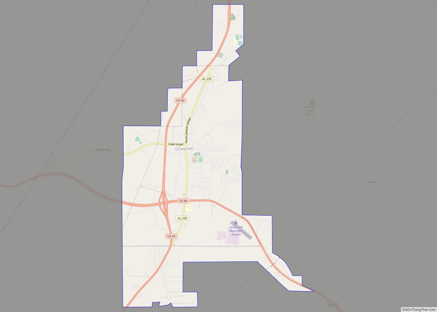
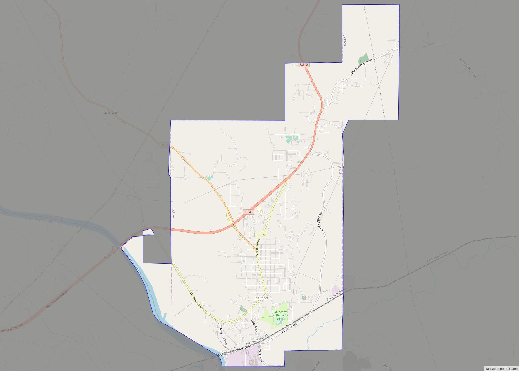
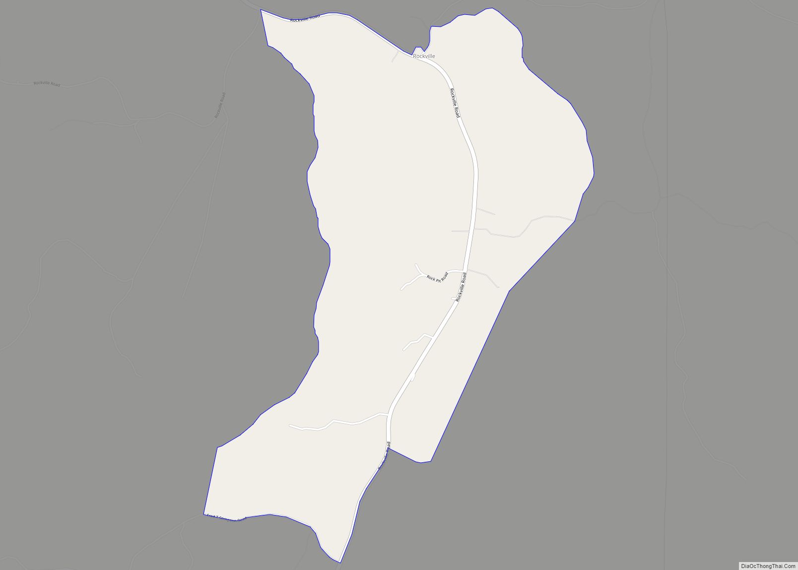
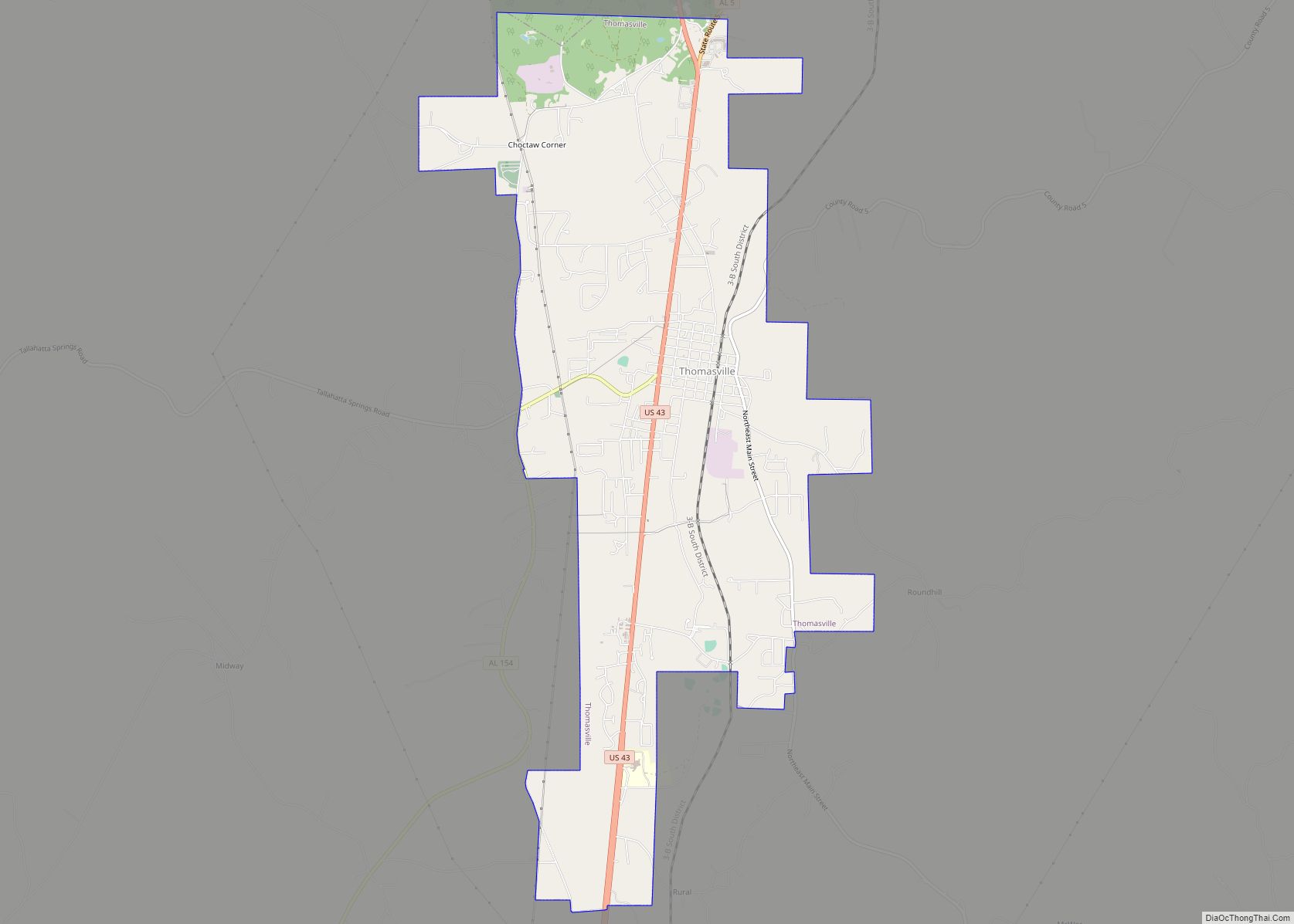
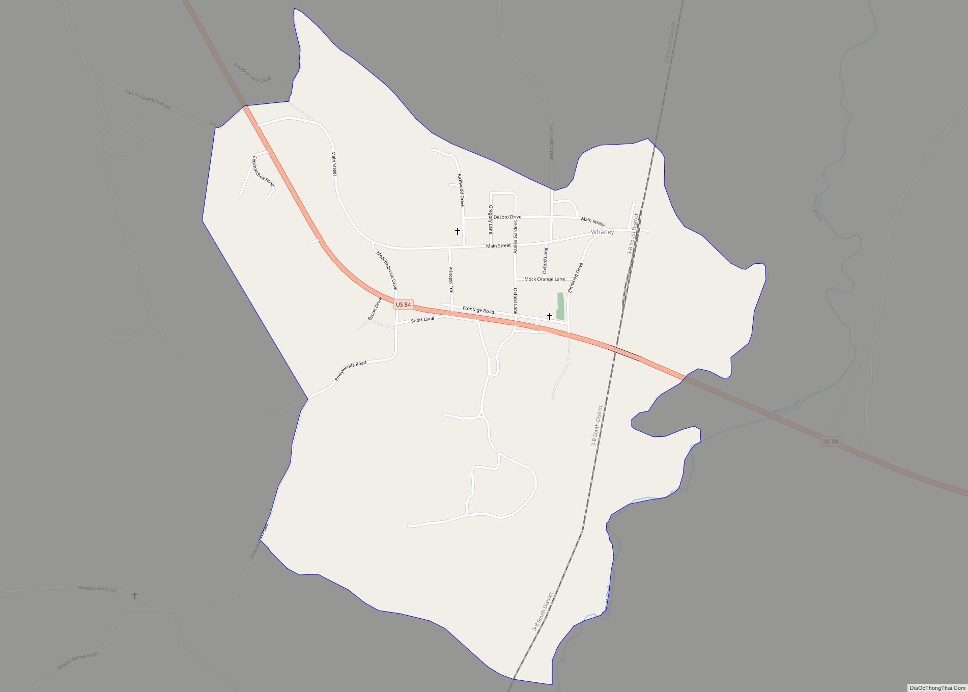
Online Interactive Map
Click on ![]() to view map in "full screen" mode.
to view map in "full screen" mode.
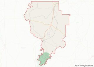
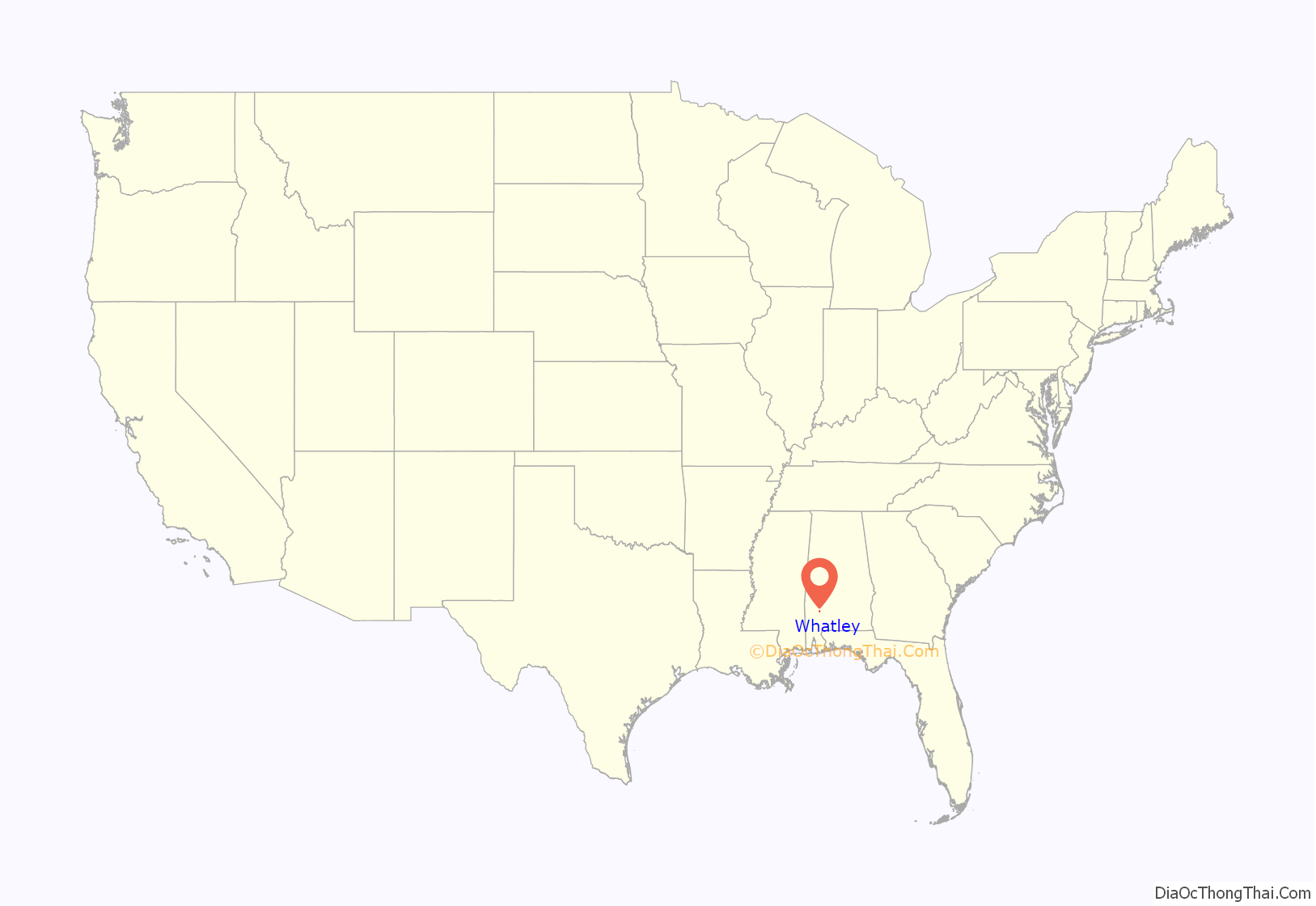
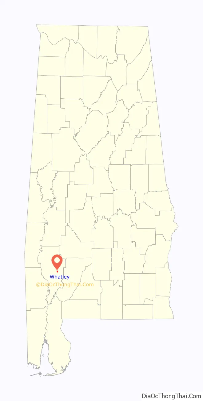
Whatley location map. Where is Whatley CDP?
History
Whatley was previously an incorporated community in 1901 and recorded a population of 187 according to the 1910 U.S. Census. It did not report any population figure again until 2010 when it became a census-designated place.
During the racial violence of Red Summer of 1919 there was a gun battle between the Whatley White and Black communities on August 1, 1919, there was a Whatley, Alabama race riot. And in the same year a person named Archie Robinson got lynched.
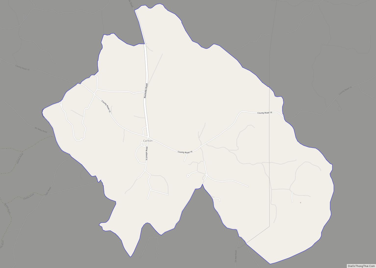
Whatley Road Map
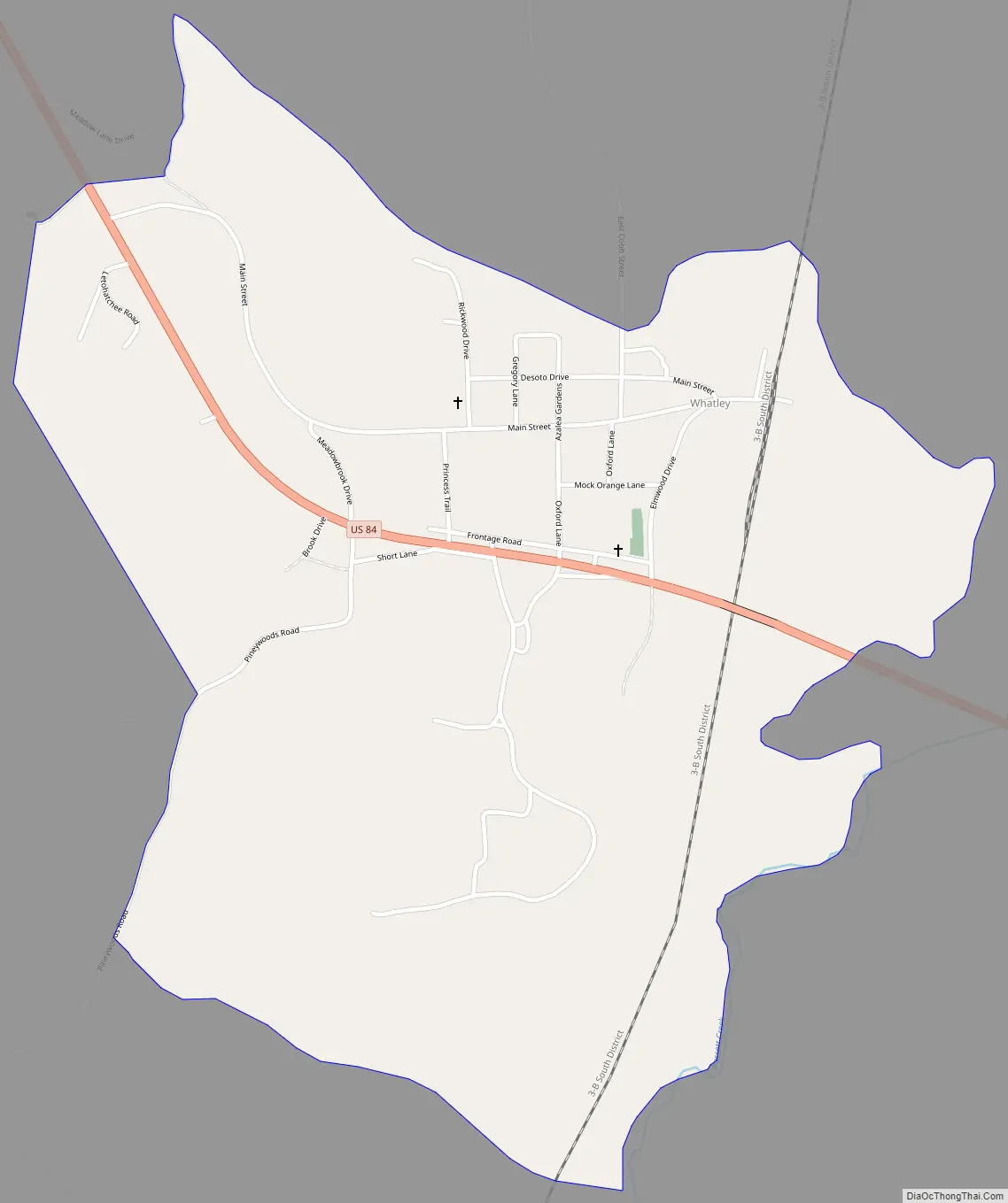
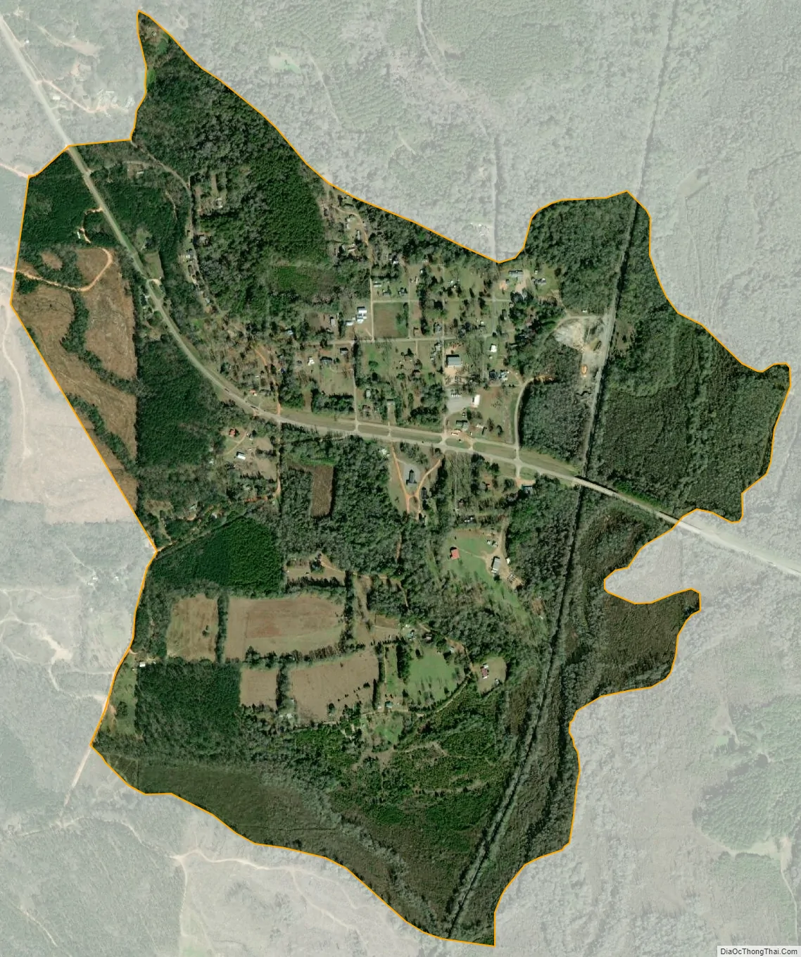
Whatley city Satellite Map
Geography
Whatley is located southeast of the center of Clarke County at 31°39′03″N 87°42′18″W / 31.65083°N 87.70500°W / 31.65083; -87.70500Coordinates: 31°39′03″N 87°42′18″W / 31.65083°N 87.70500°W / 31.65083; -87.70500.
Climate
See also
Map of Alabama State and its subdivision:- Autauga
- Baldwin
- Barbour
- Bibb
- Blount
- Bullock
- Butler
- Calhoun
- Chambers
- Cherokee
- Chilton
- Choctaw
- Clarke
- Clay
- Cleburne
- Coffee
- Colbert
- Conecuh
- Coosa
- Covington
- Crenshaw
- Cullman
- Dale
- Dallas
- De Kalb
- Elmore
- Escambia
- Etowah
- Fayette
- Franklin
- Geneva
- Greene
- Hale
- Henry
- Houston
- Jackson
- Jefferson
- Lamar
- Lauderdale
- Lawrence
- Lee
- Limestone
- Lowndes
- Macon
- Madison
- Marengo
- Marion
- Marshall
- Mobile
- Monroe
- Montgomery
- Morgan
- Perry
- Pickens
- Pike
- Randolph
- Russell
- Saint Clair
- Shelby
- Sumter
- Talladega
- Tallapoosa
- Tuscaloosa
- Walker
- Washington
- Wilcox
- Winston
- Alabama
- Alaska
- Arizona
- Arkansas
- California
- Colorado
- Connecticut
- Delaware
- District of Columbia
- Florida
- Georgia
- Hawaii
- Idaho
- Illinois
- Indiana
- Iowa
- Kansas
- Kentucky
- Louisiana
- Maine
- Maryland
- Massachusetts
- Michigan
- Minnesota
- Mississippi
- Missouri
- Montana
- Nebraska
- Nevada
- New Hampshire
- New Jersey
- New Mexico
- New York
- North Carolina
- North Dakota
- Ohio
- Oklahoma
- Oregon
- Pennsylvania
- Rhode Island
- South Carolina
- South Dakota
- Tennessee
- Texas
- Utah
- Vermont
- Virginia
- Washington
- West Virginia
- Wisconsin
- Wyoming