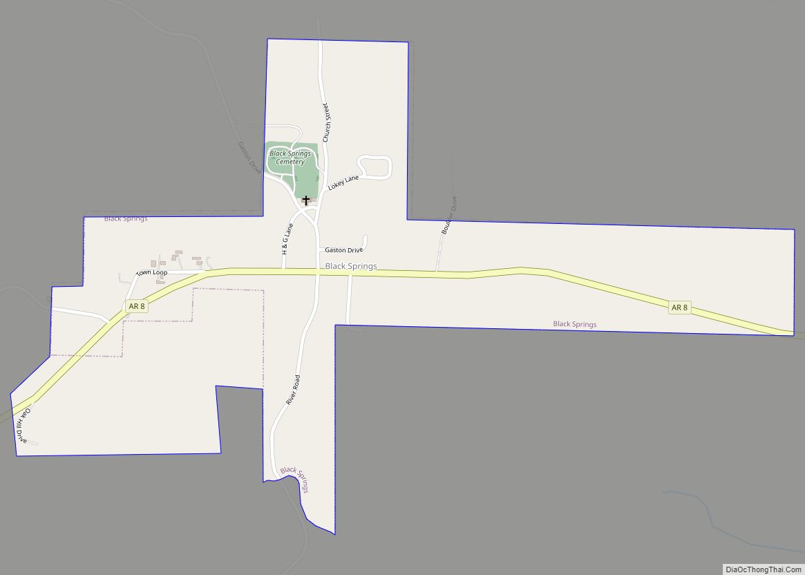
Black Springs is a town in Montgomery County, Arkansas, United States. The population was 96 at the 2020 census.
| Name: | Black Springs town |
|---|---|
| LSAD Code: | 43 |
| LSAD Description: | town (suffix) |
| State: | Arkansas |
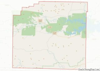
| County: | Montgomery County |
| Elevation: | 774 ft (236 m) |
| Total Area: | 0.45 sq mi (1.16 km²) |
| Land Area: | 0.45 sq mi (1.15 km²) |
| Water Area: | 0.00 sq mi (0.01 km²) |
| Total Population: | 96 |
| Population Density: | 215.73/sq mi (83.26/km²) |
| ZIP code: | 71960 (Norman) |
| FIPS code: | 0506730 |
Online Interactive Map
Click on ![]() to view map in "full screen" mode.
to view map in "full screen" mode.
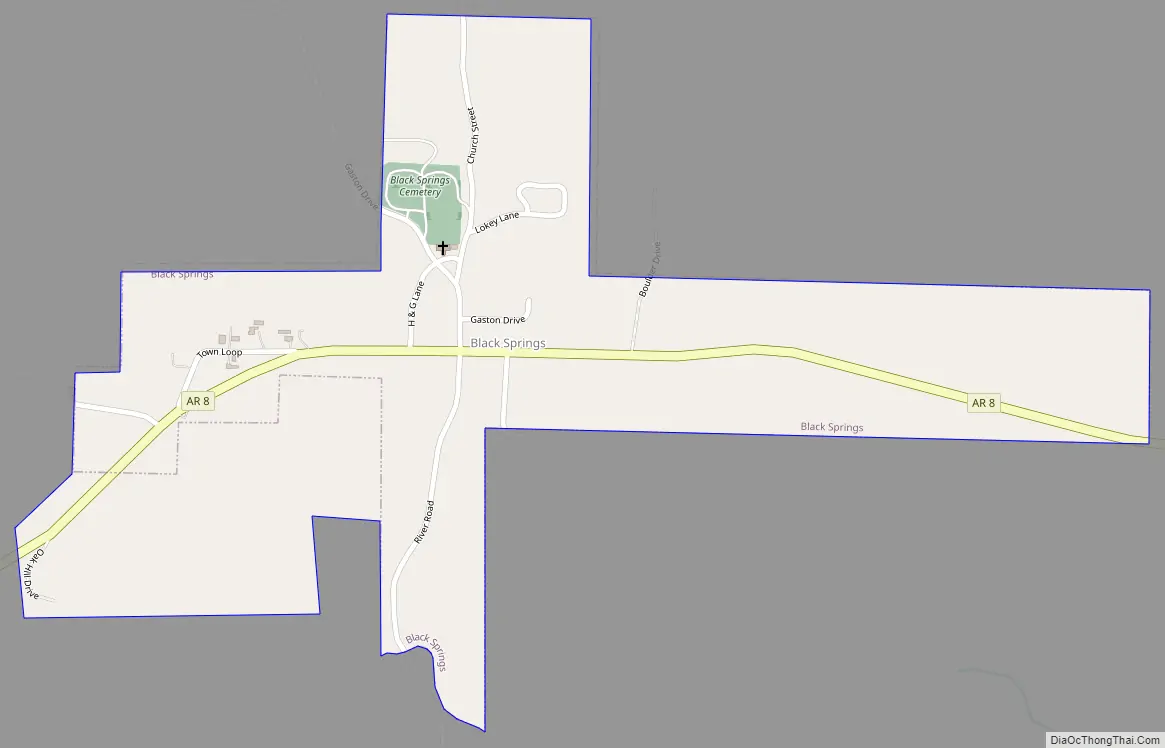
Black Springs location map. Where is Black Springs town?
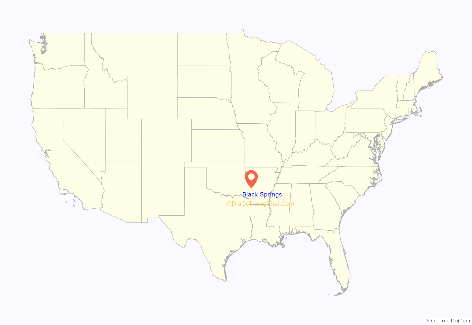
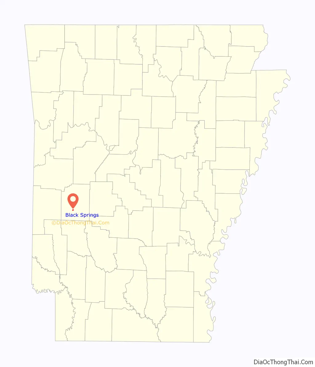
Black Springs Road Map
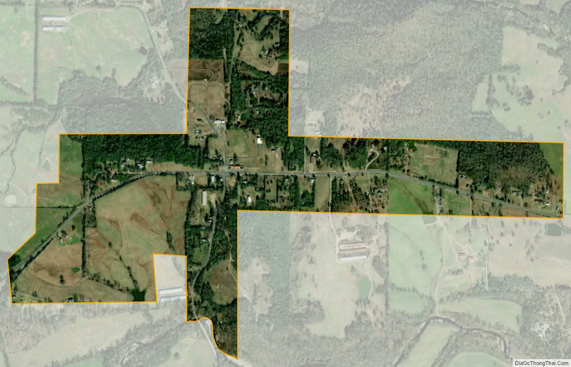
Black Springs city Satellite Map
Geography
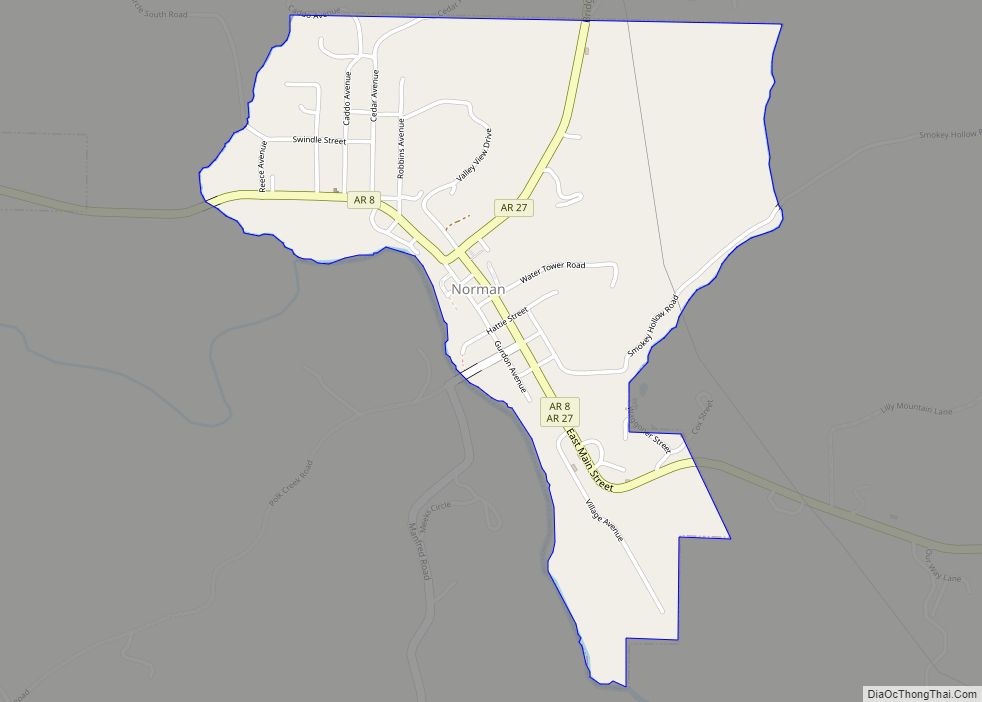
Black Springs is located in southwestern Montgomery County at 34°27′40″N 93°42′46″W / 34.46111°N 93.71278°W / 34.46111; -93.71278 (34.4612118, -93.7126919). Arkansas Highway 8 passes through the town, leading east 2 miles (3 km) to Norman and west through the Ouachita Mountains 35 miles (56 km) to Mena.
According to the United States Census Bureau, the town has a total area of 0.45 square miles (1.17 km), of which 0.002 square miles (0.005 km), or 0.44%, are water. The town lies on a low ridge between the Caddo River to the south and a tributary, Lick Creek, to the north. The Caddo is a southeast-flowing tributary of the Ouachita River.
See also
Map of Arkansas State and its subdivision:- Arkansas
- Ashley
- Baxter
- Benton
- Boone
- Bradley
- Calhoun
- Carroll
- Chicot
- Clark
- Clay
- Cleburne
- Cleveland
- Columbia
- Conway
- Craighead
- Crawford
- Crittenden
- Cross
- Dallas
- Desha
- Drew
- Faulkner
- Franklin
- Fulton
- Garland
- Grant
- Greene
- Hempstead
- Hot Spring
- Howard
- Independence
- Izard
- Jackson
- Jefferson
- Johnson
- Lafayette
- Lawrence
- Lee
- Lincoln
- Little River
- Logan
- Lonoke
- Madison
- Marion
- Miller
- Mississippi
- Monroe
- Montgomery
- Nevada
- Newton
- Ouachita
- Perry
- Phillips
- Pike
- Poinsett
- Polk
- Pope
- Prairie
- Pulaski
- Randolph
- Saint Francis
- Saline
- Scott
- Searcy
- Sebastian
- Sevier
- Sharp
- Stone
- Union
- Van Buren
- Washington
- White
- Woodruff
- Yell
- Alabama
- Alaska
- Arizona
- Arkansas
- California
- Colorado
- Connecticut
- Delaware
- District of Columbia
- Florida
- Georgia
- Hawaii
- Idaho
- Illinois
- Indiana
- Iowa
- Kansas
- Kentucky
- Louisiana
- Maine
- Maryland
- Massachusetts
- Michigan
- Minnesota
- Mississippi
- Missouri
- Montana
- Nebraska
- Nevada
- New Hampshire
- New Jersey
- New Mexico
- New York
- North Carolina
- North Dakota
- Ohio
- Oklahoma
- Oregon
- Pennsylvania
- Rhode Island
- South Carolina
- South Dakota
- Tennessee
- Texas
- Utah
- Vermont
- Virginia
- Washington
- West Virginia
- Wisconsin
- Wyoming